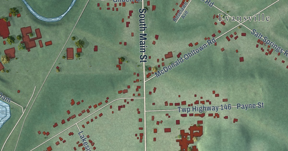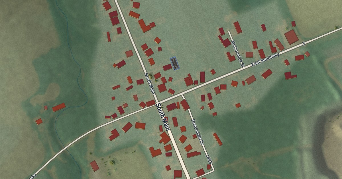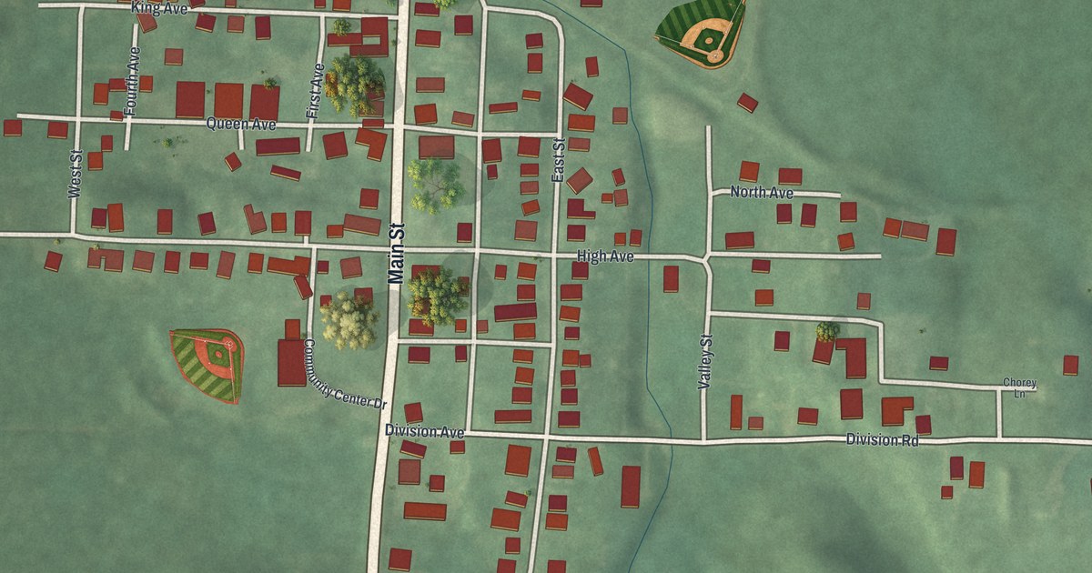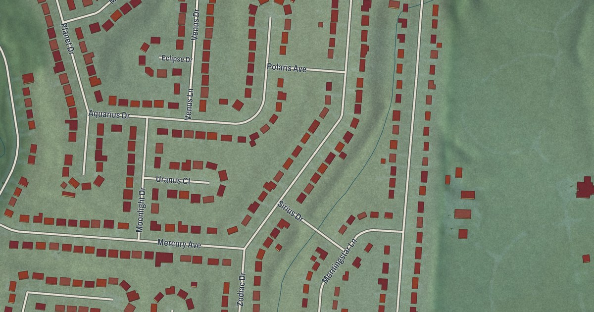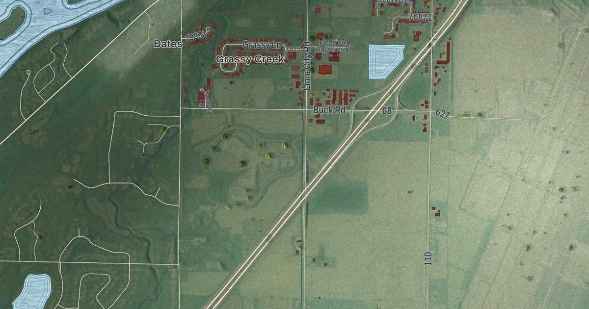
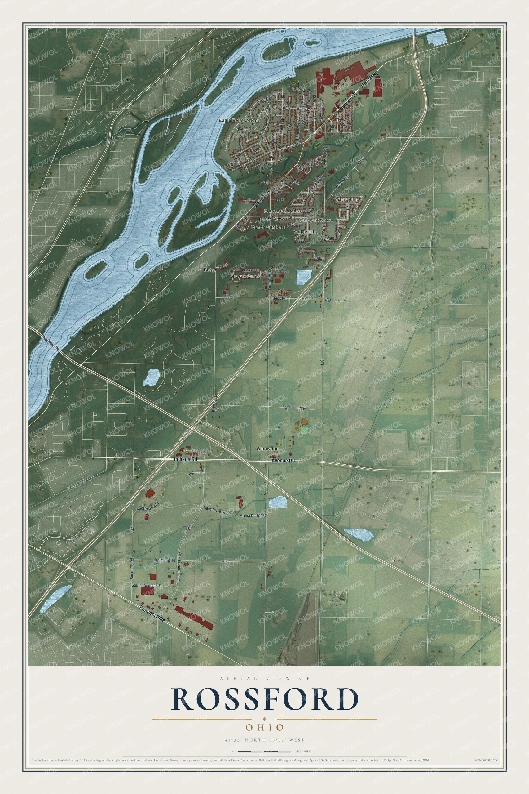
This beautifully detailed map of Rossford, Ohio was created in 2026 using aerial imagery combined with modern topographical, census, street and landmark data. It’s a one-of-a-kind view of Rossford that combines accurate data with a vintage aesthetic. The map shows every building in its true location, many of the roads carry their names, and the shaded topographic relief shows the shape of the land.
Explore an aerial view of Rossford, Ohio
On the map you’ll find Eagle Point Colony, Arbor Hills, Candyce Grove, Frances Gardens, Valley Hills, Bates, Glenwood, Grassy Creek, Island View, and Ranch Gardens, along with Fremont Pike, Avenue Road, and more. If you look closely you can even find your house accurately drawn in its correct location. Zoom in on the preview to look for yours.
Did you know this piece of Rossford, Ohio history?
In 1898, Edward Ford bought 173 acres along the Maumee River for a plate glass factory. As workers came to the plant, a town grew around it. Ford named the town Rossford, joining his own last name with that of his second wife, Caroline Ross.
Take a closer look at the Rossford map
Street and place names on the Rossford, Ohio map
These names are printed on the map of Rossford, Ohio.
Places: Eagle Point Colony, Arbor Hills, Candyce Grove, Frances Gardens, Valley Hills, Bates, Glenwood, Grassy Creek, Island View and Ranch Gardens.
Streets and roads: Fremont Pike, Avenue Road, Dixie Highway, Superior Street, Indiana Road, Forest Drive, Riverside Drive, Bass Pro Boulevard, Crossroads Parkway, Lime City Road, Glenwood Road, Deimling Road.
More street names, A to Z
Arena Drive, Bacon Street, Bates Road, Bergin Street, Bruns Drive, Buck Road, Clark Road, Colony Road, Cove Lane, Eagle Point Drive, Eagle Point Road, Electrical Industries Court, Elm Street, Grassy Lane, Hannum Avenue, Hillsdale Avenue, Indian Ridge Trail, Jennings Road, Mandell Road, Natures Lane, North Ironwood Drive, Osborne Street, Osborn Street, Park Drive, Rossway Avenue, Schreier Road, Simmons Road, South Compass Drive, Sportman's Drive, Wales Road, Zachary Lane.
See the Rossford, Ohio map on a wall
The Rossford map as an 18 x 24 inch print in a black frame.

This beautifully detailed map of Rossford makes an attractive addition to your office, library, or den, and it can even be used to teach children the geography and history of the area. It also makes a great gift for someone who left Rossford and still calls it home. When you’re done exploring, click here to get your copy of the Rossford map.