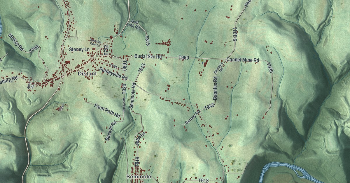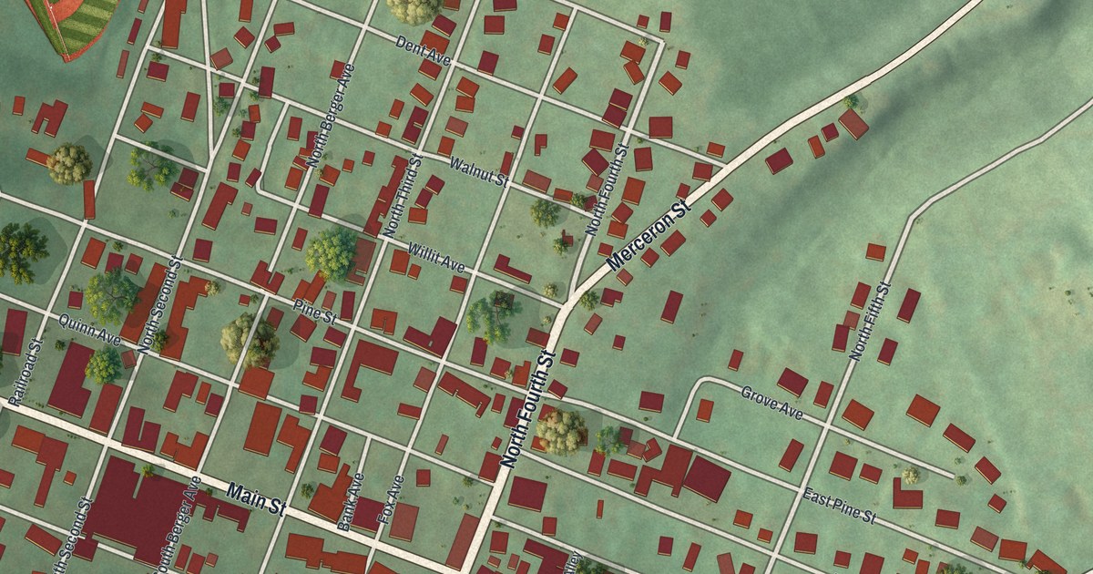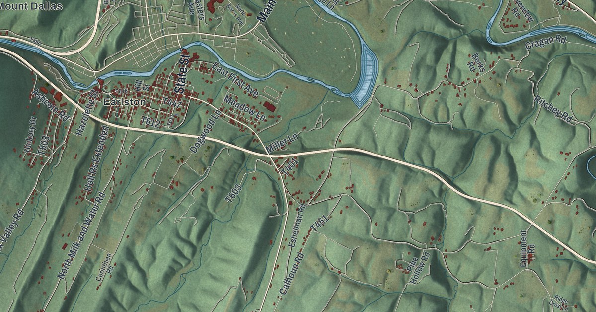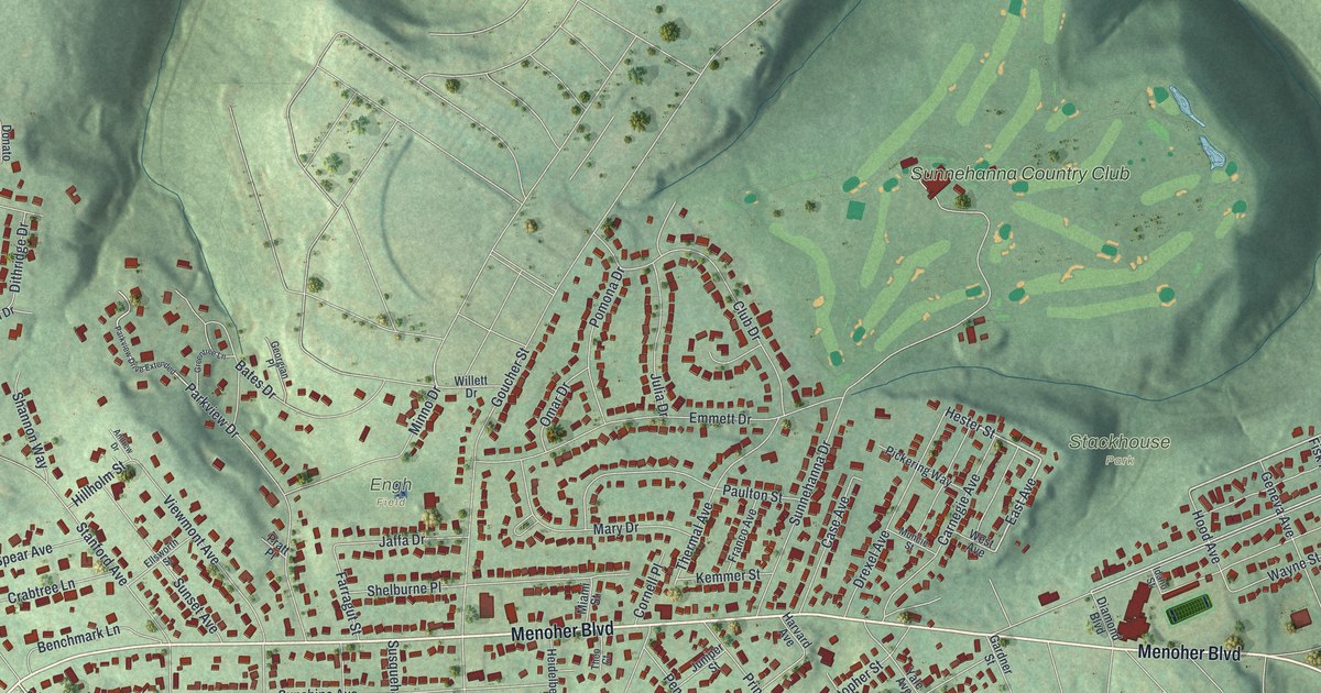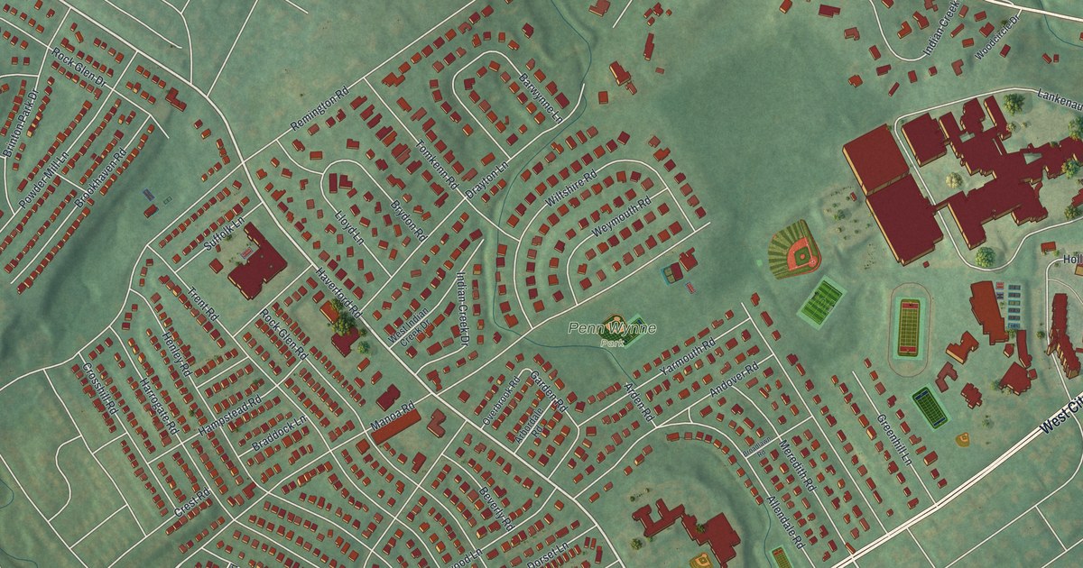
If you grew up in Penn Wynne, look for your old street on this print. It's a modern aerial view of Penn Wynne in Montgomery County, Pennsylvania, made with modern data and a vintage feel. Red buildings fill the blocks, while pale roads stand out against green ground. Penn Wynne Park sits among the neighborhood streets.
Penn Wynne Park and familiar streets
On this map you'll find Haverford Road, Manoa Road, West City Avenue, Penn Wynne Park, Remington Road, Overbrook Parkway, Indian Creek Road, Rock Glen Road, Henley Road, Trent Road, Powder Mill Lane, and more. Each red shape is a building, so zoom in on the preview and look for yours.
Penn Wynne had 6,493 residents in the 2020 Census. Here, you can see the blocks that make up the place they call home. Close rows of red buildings give way to wider green spaces. Penn Wynne Park's name offers a familiar spot to start looking for your own block. You can take in the whole neighborhood, then spend time with the streets you know best.
Keep Penn Wynne close to home
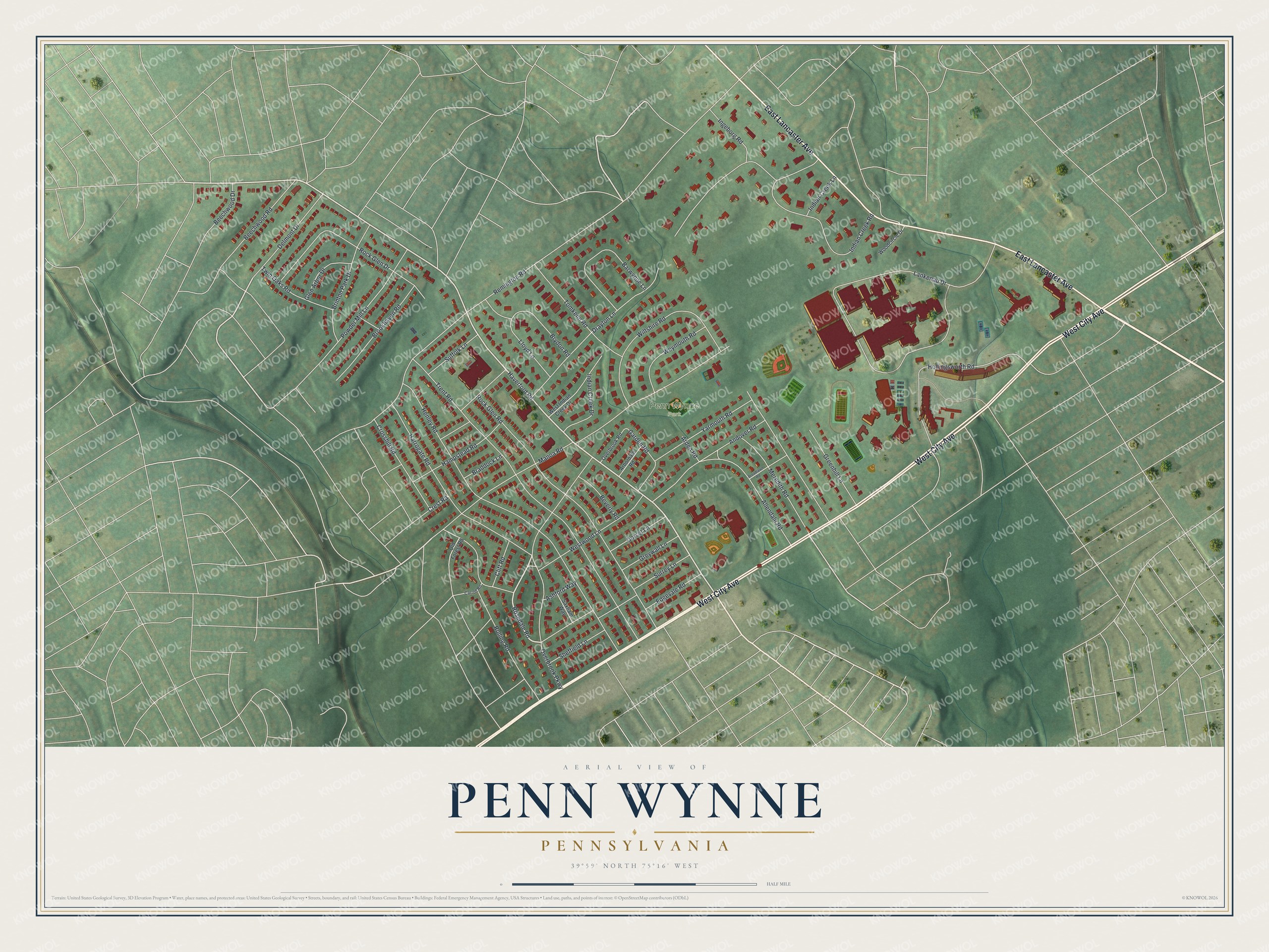
Created by KNOWOL in 2026, this print pairs soft green ground with red buildings and fine, pale roads. A cream border surrounds the view. The title panel reads AERIAL VIEW OF, PENN WYNNE, PENNSYLVANIA, and 39°59' NORTH 75°16' WEST.
Hang it in a living room, home office, or entryway. It's a gift for someone who grew up near Penn Wynne Park or moved away from these streets. Open the preview and find the block you'd want to keep close. See sizes and frames for the Penn Wynne map.