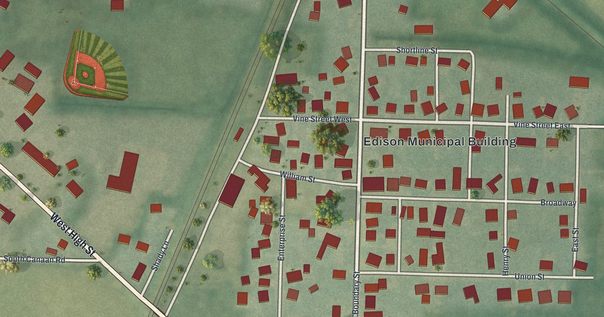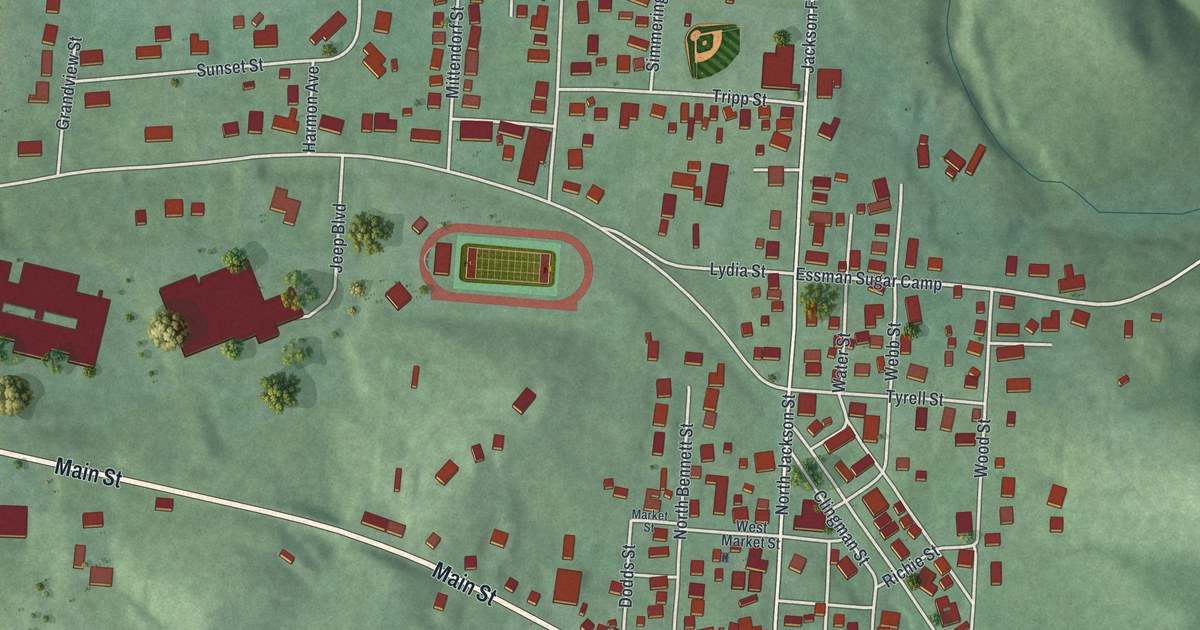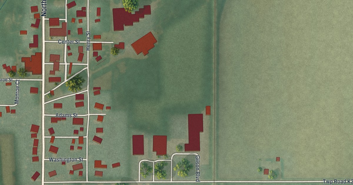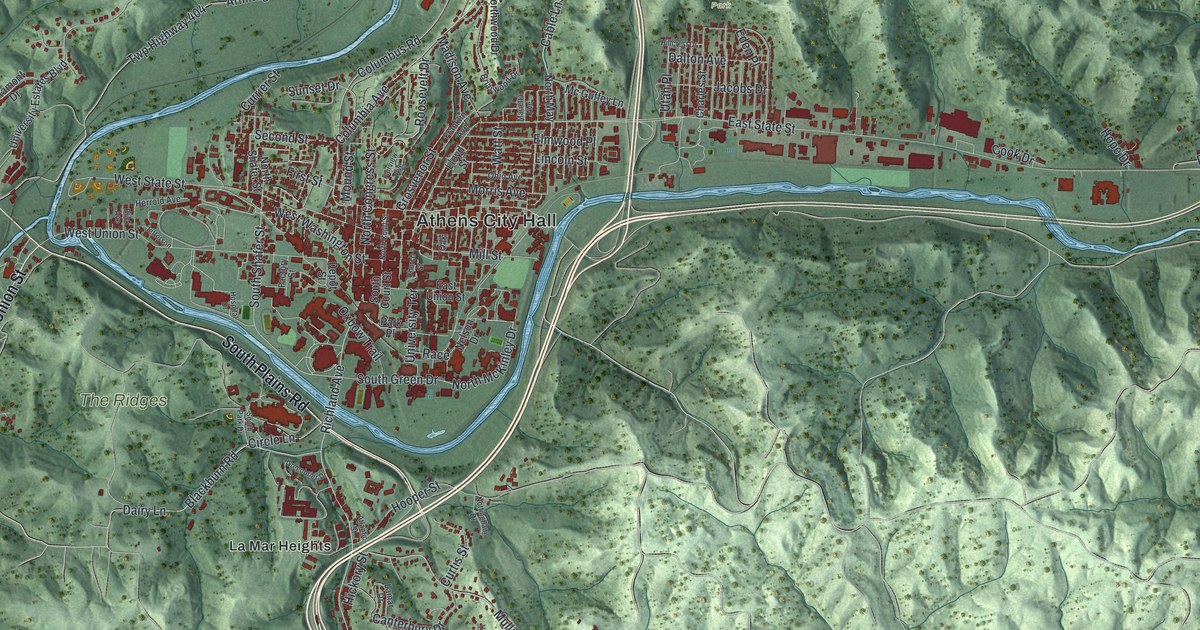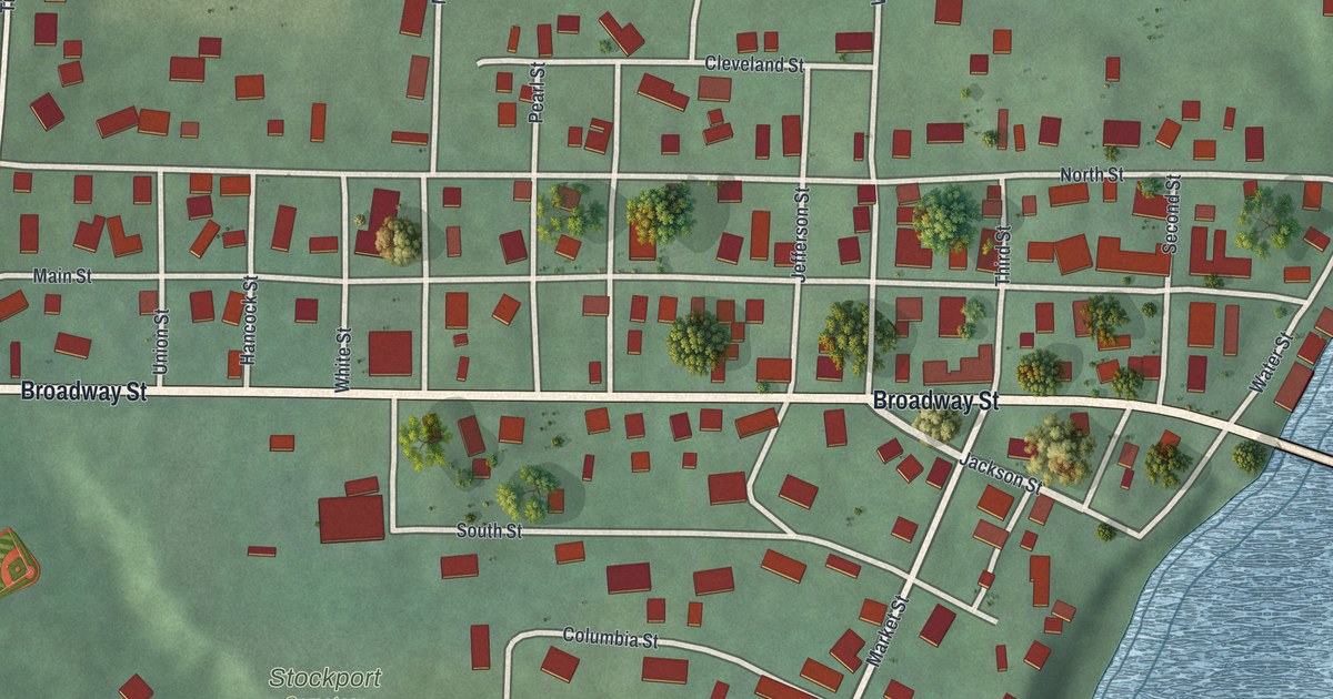
If you grew up in Stockport, or your family still lives along Broadway Street, this map is for you. It's a new aerial view of Stockport in Morgan County, Ohio, made from modern data with a vintage look. The village sits on flat ground with green hills rising all around it. Red shapes mark the homes and shops, and a wide blue river runs down the right side of the print.
The Stockport Mill on Broadway Street
On this map you'll find Broadway Street, Main Street, Water Street, Market Street, Jackson Street, North Street, South Street, Franklin Street, Washington Street, Jefferson Street, Columbia Street, East River Road, Tieber Road, Stockport Cemetery, and more. Each red shape is a building, so zoom in on the preview and look for yours.
Stockport sits on the west bank of the Muskingum River. One building tells the town's story: the Stockport Mill, at 1995 Broadway Street. Mills have stood on that spot since 1842. The one there now is the third. The Dover brothers built it in 1906, says a marker from the Ohio History Connection. It ran on water power. Two big turbines ran the mill, and they also made electricity for the town.
Gold Bond Flour from the Stockport Mill
The mill made flours called Gold Bond, Seal of Ohio, and Pride of the Valley. Back before all-weather roads, the flour left town by steam packet boat. It also went out on the Ohio & Little Kanawha Railroad. Local farmers came in to buy supplies and swap news. The mill kept working as a feed mill until 1997. Today the marker stands at the Water Street entrance to the Stockport Mill Inn.
Keep Stockport and Broadway Street Close
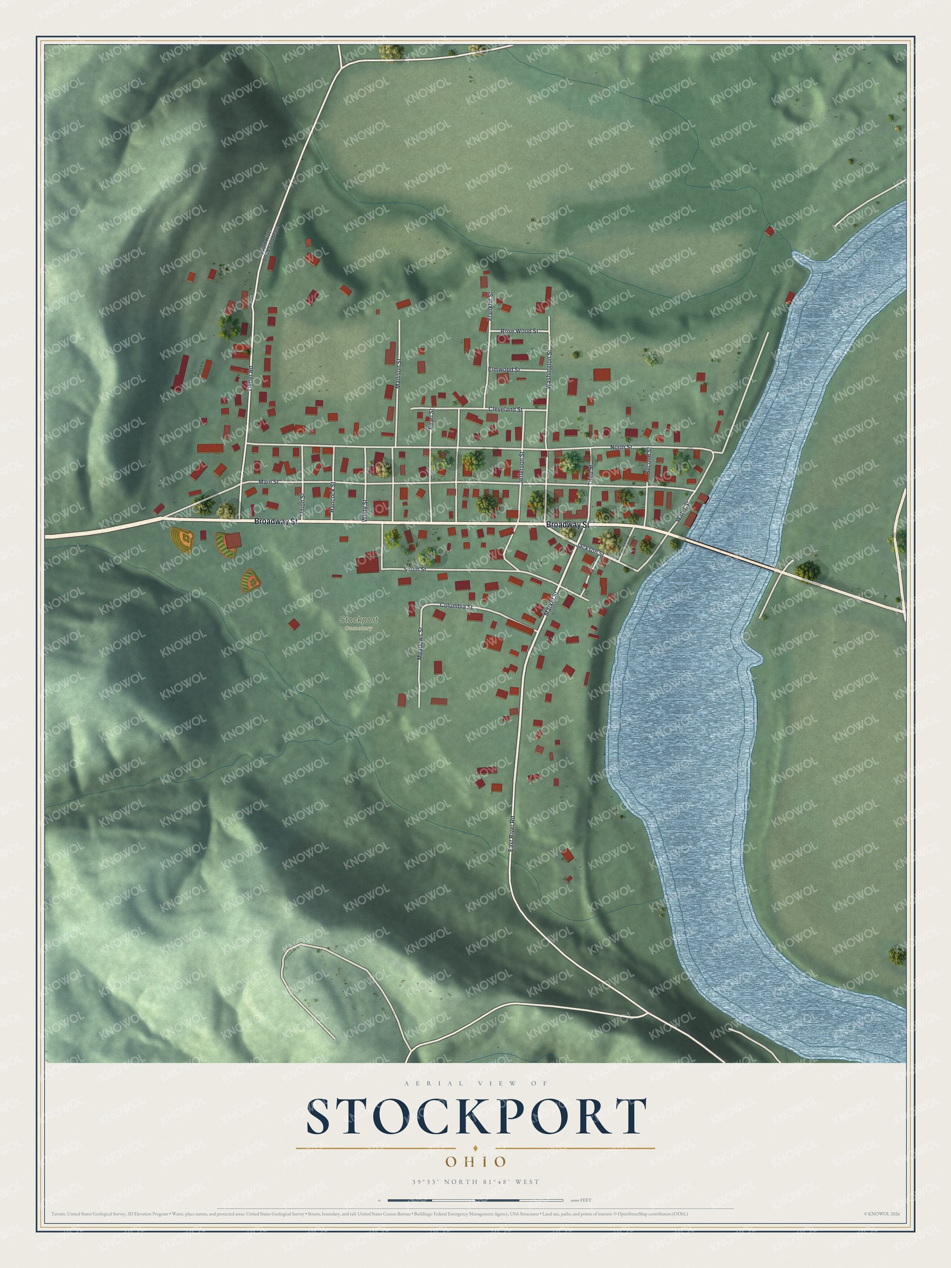
Created by KNOWOL in 2026, this print shows Stockport from above, with shaded green hills, red building shapes and a wide blue river along the right edge. The title panel reads "Aerial View of Stockport, Ohio" with the coordinates 39°33' North 81°48' West.
It fits a kitchen, a front hall or a den. It's a good gift for anyone who remembers the Stockport Mill, or who grew up on Broadway Street and later moved away. Open the preview and find your street. See sizes and frames for the Stockport map.