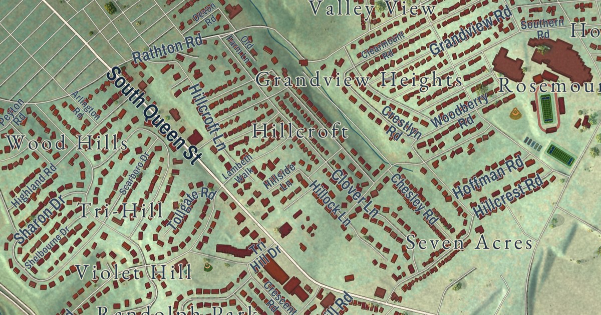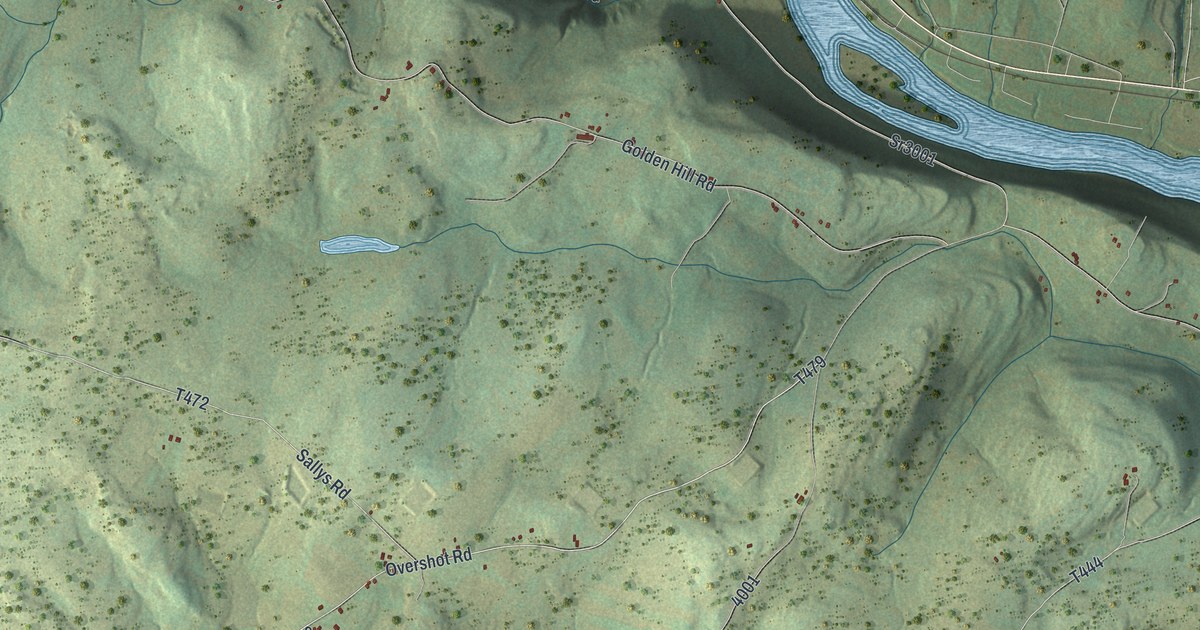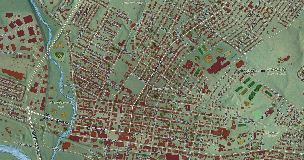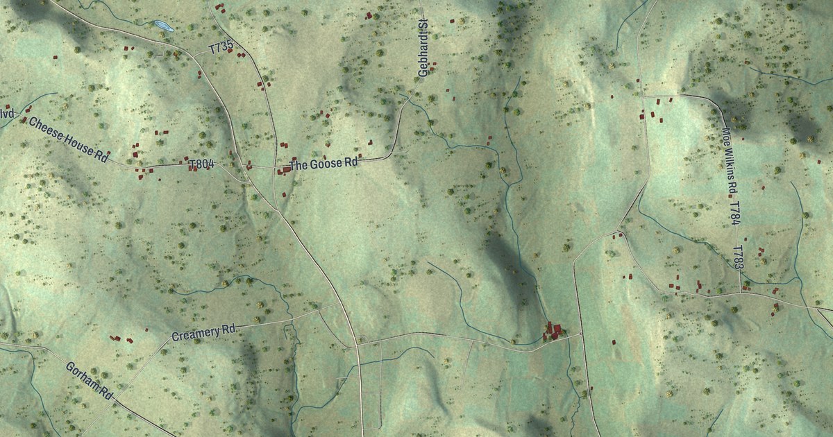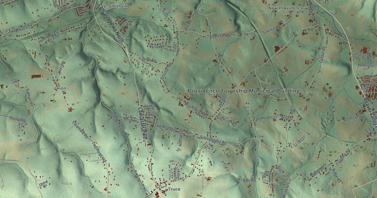
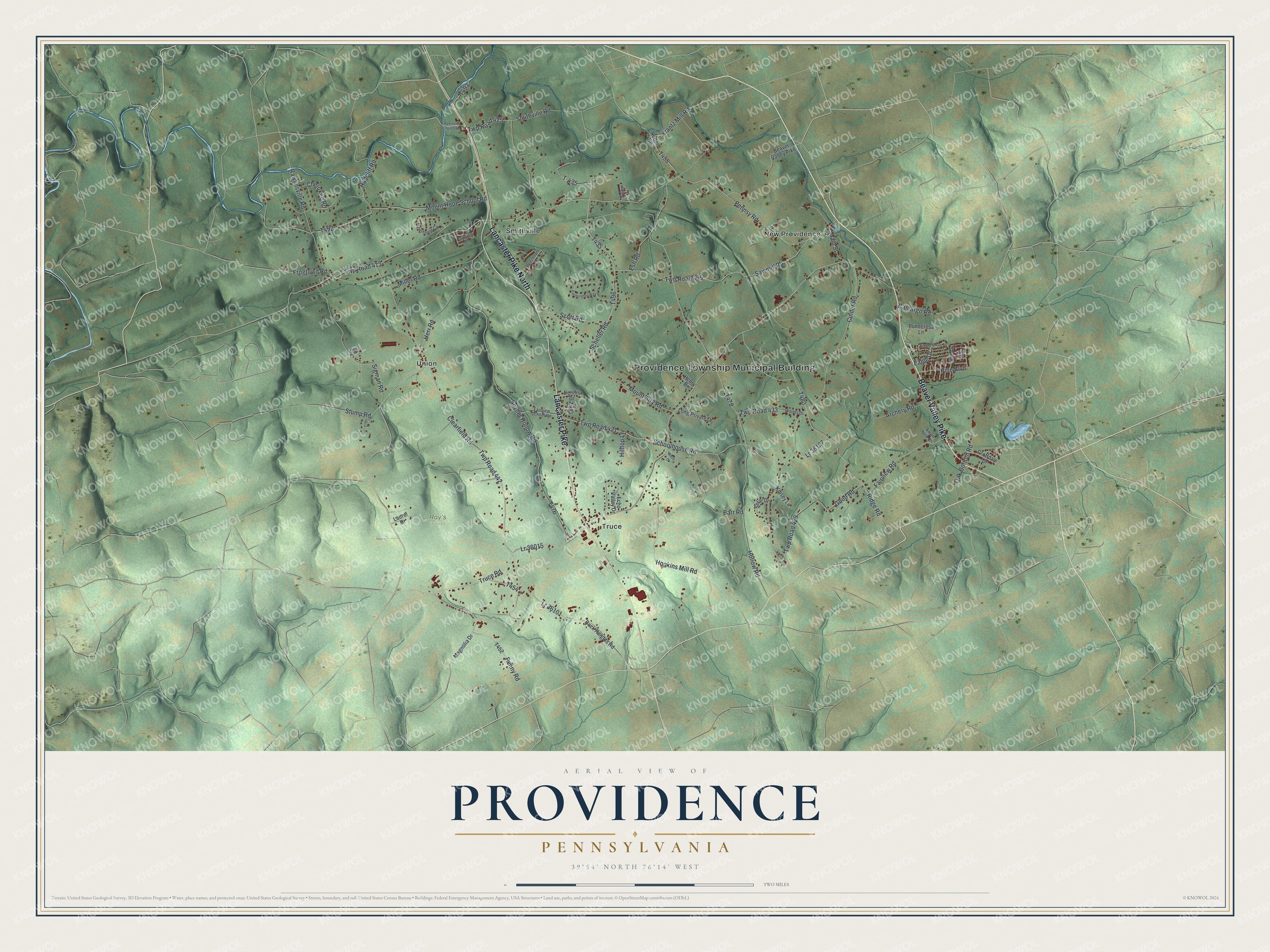
This beautifully detailed map of Providence, Pennsylvania was created in 2026 using aerial imagery combined with modern topographical, census, street and landmark data. It’s a one-of-a-kind view of Providence that combines accurate data with a vintage aesthetic. The map shows every building in its true location, many of the roads carry their names, and the shaded topographic relief shows the shape of the land.
Explore an aerial view of Providence, Pennsylvania
On the map you’ll find Providence Township Municipal Building, Ray’s Woods, New Providence, Smithville, Truce, and Union, along with Beaver Valley Pike, Lancaster Pike, Lancaster Pike North, Clearfield Road, Penny Road, Pennsy Road, and more. If you look closely you can even find your house accurately drawn in its correct location. Zoom in on the preview to look for yours.
Take a closer look at the Providence map
Street and place names on the Providence, Pennsylvania map
These names are printed on the map of Providence, Pennsylvania.
Places: Providence Township Municipal Building, Ray’s Woods, New Providence, Smithville, Truce and Union.
Streets and roads: Beaver Valley Pike, Lancaster Pike, Lancaster Pike North, Clearfield Road, Penny Road, Pennsy Road, Lr 36101, Twp Road 413, Lr 36015, Truce Road, Twp Road 442, Hollow Road.
More street names, A to Z
Archery Road, Barr Road, Beechnut Drive, Buck Heights Road, Byerland Church Road, Camargo Road, Cherokee Road, Cinder Road, Dennis Drive, Eagle Drive, Earl Drive, Echo Valley Drive, Elm Street, Esh Road, Fairview Road, Fairview School Road, Farmington Way, Frogtown Road, Good Road, Groffdale Drive, Hawthorne Circle, Henry Drive, Herr Road, Hilltop Lane, Hopkins Mill Road, Kimberly Avenue, Kinsey Lane, Krantz Mill Road, Laurel Drive, Liberty Hill Court, Lilac Drive, Long Private Drive, Lr 36127, Magnolia Drive, Main Street, Miller Road, Mount Airy Road, Mount Hope School Road, Oak Bottom Road, Parkview Drive, Pine Boulevard, Ponderosa Lane, Radcliff Road, Rawlinsville Road, Refton Road, Ridge Road, Rush Drive, Sawmill Road, Scheller Road, Schoolhouse Road, Scott Road, Sigman Road, Smithville Road, Snyder Hollow Road, Solar Drive, South Fork Place, Stump Road, T-435, Twp Road 425, Twp Road 429, Twp Road 431, Twp Road 433, Twp Road 435, Tyler Drive, Woods Drive.
See the Providence, Pennsylvania map on a wall
The Providence map as an 18 x 24 inch print in a black frame.

This beautifully detailed map of Providence makes an attractive addition to your office, library, or den, and it can even be used to teach children the geography and history of the area. It also makes a great gift for anyone with Providence roots. When you’re done exploring, click here to get your copy of the Providence map.