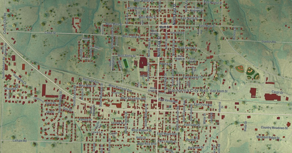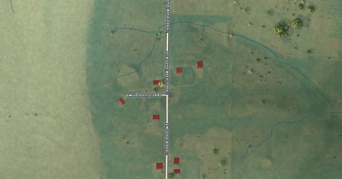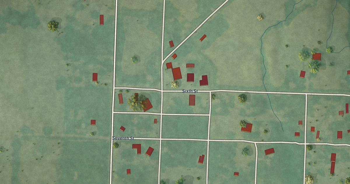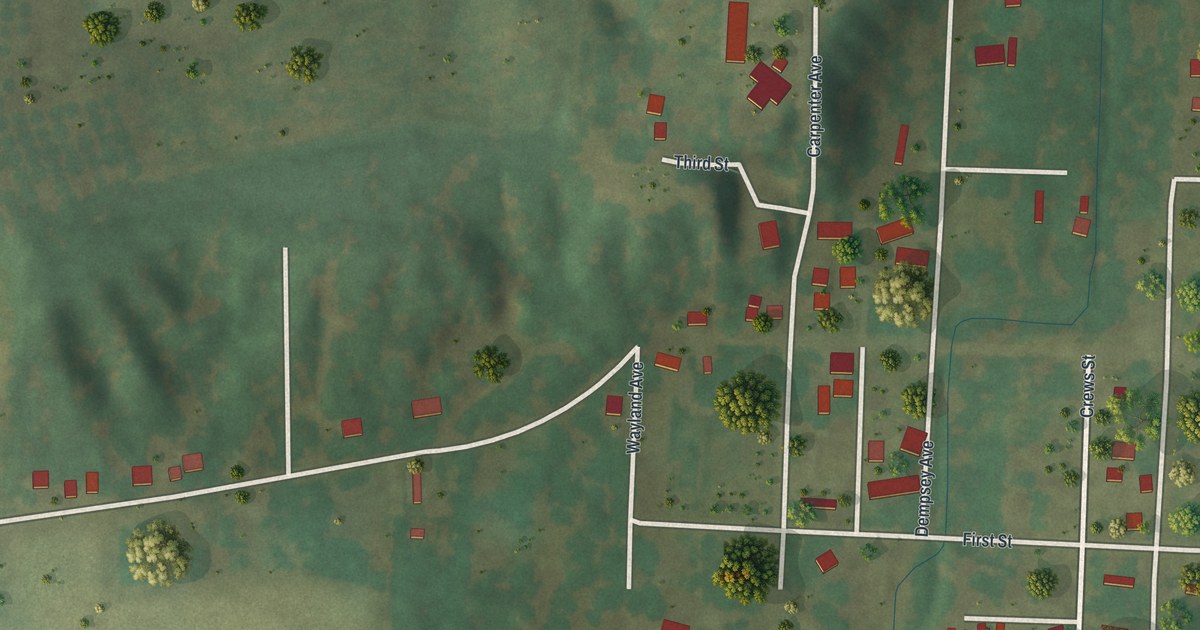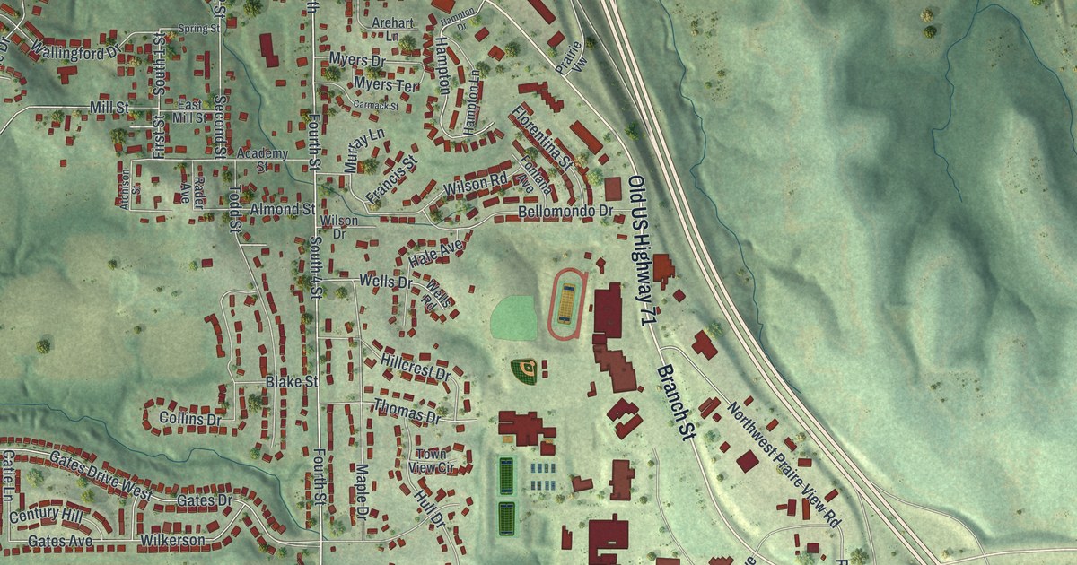
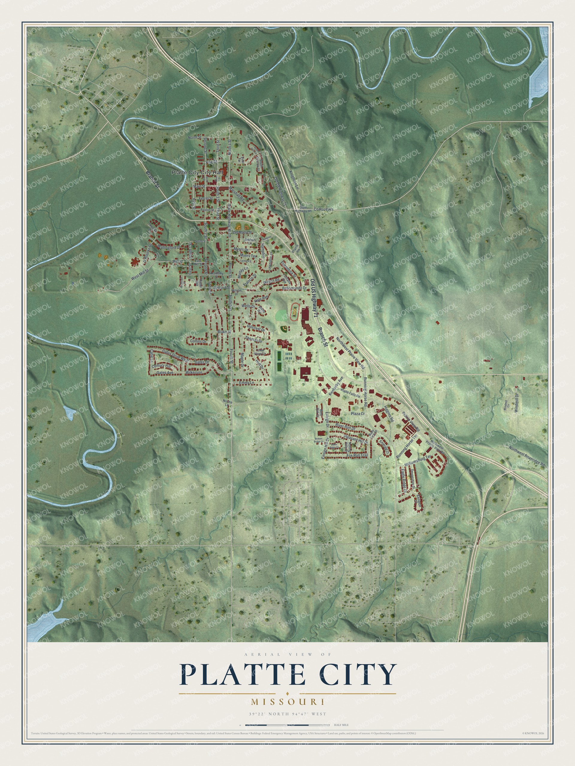
If you grew up on the old blocks near Main Street, or you still have family in Platte City, this map was made with you in mind. It's a modern aerial view of Platte City in Platte County, Missouri, built from modern data and given a vintage feel. The town sits between a winding blue river on the left and Old US Highway 71 on the right. Downtown's grid fills the top of the sheet around City Hall, and newer streets curl south past Branch Street toward Running Horse Road.
Main Street, Third Street and your own block
On this map you'll find Main Street, Third Street, Fourth Street, Branch Street, Old US Highway 71, City Hall, Mill Street, Ferrel Street, Kentucky Avenue, Running Horse Road, Prairie View Road, Hampton Drive, Gates Drive, and more. Each red shape is a building, so zoom in on the preview and look for yours.
The Platte County Courthouse and the Krause Mansion
Platte City has two places on the National Register of Historic Places. The first is the Platte County Courthouse. It stands at Third and Main, and it was added to the list in January 1979.
The second is the Frederick Krause Mansion, a short walk away at Third and Ferrel. It was listed in May 1978, the year before the courthouse. Third Street and Main Street are both printed on the map, in the downtown grid near City Hall. Find where Third Street crosses Main Street, and you're standing at the courthouse corner.
A Platte City map from City Hall to Running Horse Road
Names on this map
These names are printed on this map.
Places: Platte City City Hall.
Streets and roads: Branch Street, Old US Highway 71, Main Street, First Street, South 1 Street, County Road Hh, Third Street, Second Street, South 3 Street, Fourth Street, North 4 Street, South 4 Street.
More street names, A to Z
Academy Street, Almond Street, Arehart Lane, Atchison Street, Baker Ridge Circle, Bellomondo Drive, Bent Oak Court, Blake Street, Broken Bridge Lane, Carmack Street, Catie Lane, Century Hill, Collins Drive, Devonshire Drive, Eagle Ridge Drive, East Mill Street, Emerald Court, Emmy Lane, Ensign Drive, Ensign Hill Drive, Ferrel Street, Florentina Street, Fontana Avenue, Fox Run Trail, Francis Street, Gates Avenue, Gates Drive, Gates Drive West, Hale Avenue, Hampton, Hampton Drive, Hampton Lane, Higgins Road, Hillcrest Drive, Hull Drive, Kempton Court, Kentucky Avenue, Knighton Lane, Maple Drive, Maple Farm Road, Marshall Road, Mill Street, Murray Lane, Myers Drive, Myers Terrace, Norma Lane, North 2 Street, North 3 Street, North Street, North Vine Vw, Northwest Praire View Road, Northwest Prairie View Road, Northwest Roanridge Road, O'Rourke Drive, Orourke Drive, Paxton Street, Platte Falls Road, Plaza Court, Pleasant Hill Drive, Prairie View Road, Prairie Vw, Rader Avenue, River Run Drive, Rolling Hills Drive, Running Horse Road, Running Horse Terrace, South 2 Street, South Vine Vw Street, Spring Street, State Highway Hh, State Highway North, Thomas Drive, Todd Street, Town View Circle, Vine Street, Vine Terrace, Wallingford Drive, Wells Drive, Wells Road, West Mill Street, Wilkerson, Williamsburg Terrace, Wilson Drive, Wilson Road, Windmill Circle, Windmill Drive, Zed Martin Street.
Created by KNOWOL in 2026, this print shows Platte City in soft greens with shaded hills, a winding blue river and every building in deep red. The title panel reads "Aerial View of Platte City, Missouri" with the coordinates 39°22' North 94°47' West.
It fits a living room, a home office or a hallway where family photos hang. It's a thoughtful gift for someone who grew up near the courthouse on Main Street and now lives far away. Open the preview and find the streets you know. See sizes and frames for the Platte City map.