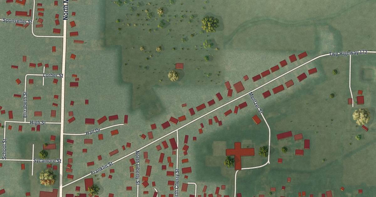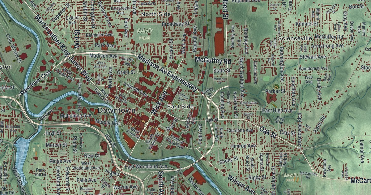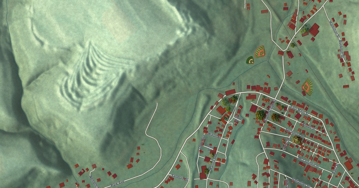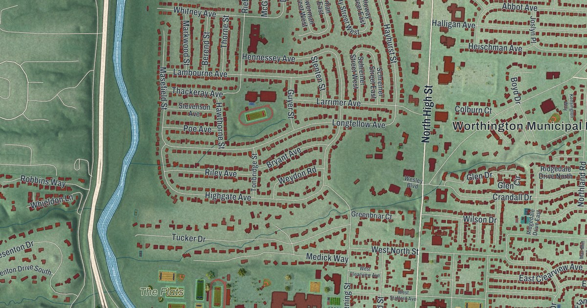
If you grew up in Worthington, live in Linworth or Riverlea, or have family off North High Street, this map has plenty for you to find. It's a modern aerial view of Worthington in Franklin County, Ohio, built from modern data with a vintage feel. The town's buildings are drawn in deep red over shaded green land. A thin blue river and a long road run down the left side, with Linworth on the far bank. Zoom in and the blocks break apart into single homes.
North High Street, Dublin Granville Road and Linworth
Start where North High Street crosses Dublin Granville Road, near the middle of the map. This is the center of old Worthington. The Worthington Municipal Building is named just up and to the right. Now follow North High Street north. Near the top it's labeled Columbus-Sandusky Road, and it meets East Wilson Bridge Road and West Old Wilson Bridge Road. Worthington Galena Road angles off to the upper right. McCord Park sits up there too, beside Northigh Drive.
Go back to the crossing and head west on West Dublin Granville Road. You'll pass The Flats, then cross the river and Olentangy River Road to Linworth. Perry Park is named just above it, near Linworth Road and Snouffer Road. Back in town, Evening Street and Hartford Street run south toward Riverlea. Park Boulevard and Indianola Avenue fill the lower right. Many of the roads are labeled, and each red shape is a building, so zoom in on the preview and look for yours.
How the Scioto Company planned Worthington in 1803
Worthington was planned before anyone got here. In 1802, 38 men from Connecticut and Massachusetts formed a land company called the Scioto Company. They bought 16,000 acres along the Olentangy River. James Kilbourn of Granby, Connecticut, led the group. They founded the town in 1803, the same year Ohio became a state. They named it for Thomas Worthington, who helped Kilbourn choose the spot and later became governor. That's according to an Ohio historical marker on High Street. The plan put a village green in the middle, with 160 lots around it. By 1812, Worthington was a finalist to become the capital of Ohio. The green is still at the corner of High Street and Dublin Granville Road. Look around it on the map for Granby Street, Hartford Street, East New England Avenue and Proprietors Road.
St. John's on the green and St. John A.M.E. on Plymouth Street
The settlers planned their church back in Connecticut, too. St. John's Church was set up on February 6, 1804. It was the first Episcopal church in the Northwest Territory, and Kilbourn was its first deacon. It still stands on High Street by the green. A second St. John came later. In 1896, Peter Banks and four other men started an A.M.E. church for Worthington's Black families. Local carpenter Chester Hard built their new church, and it was named St. John A.M.E. in 1914. For more than a century it has been the center of the town's Black community. Find it on Plymouth Street, a short walk east of High Street.
A Worthington gift, from Linworth to McCord Park
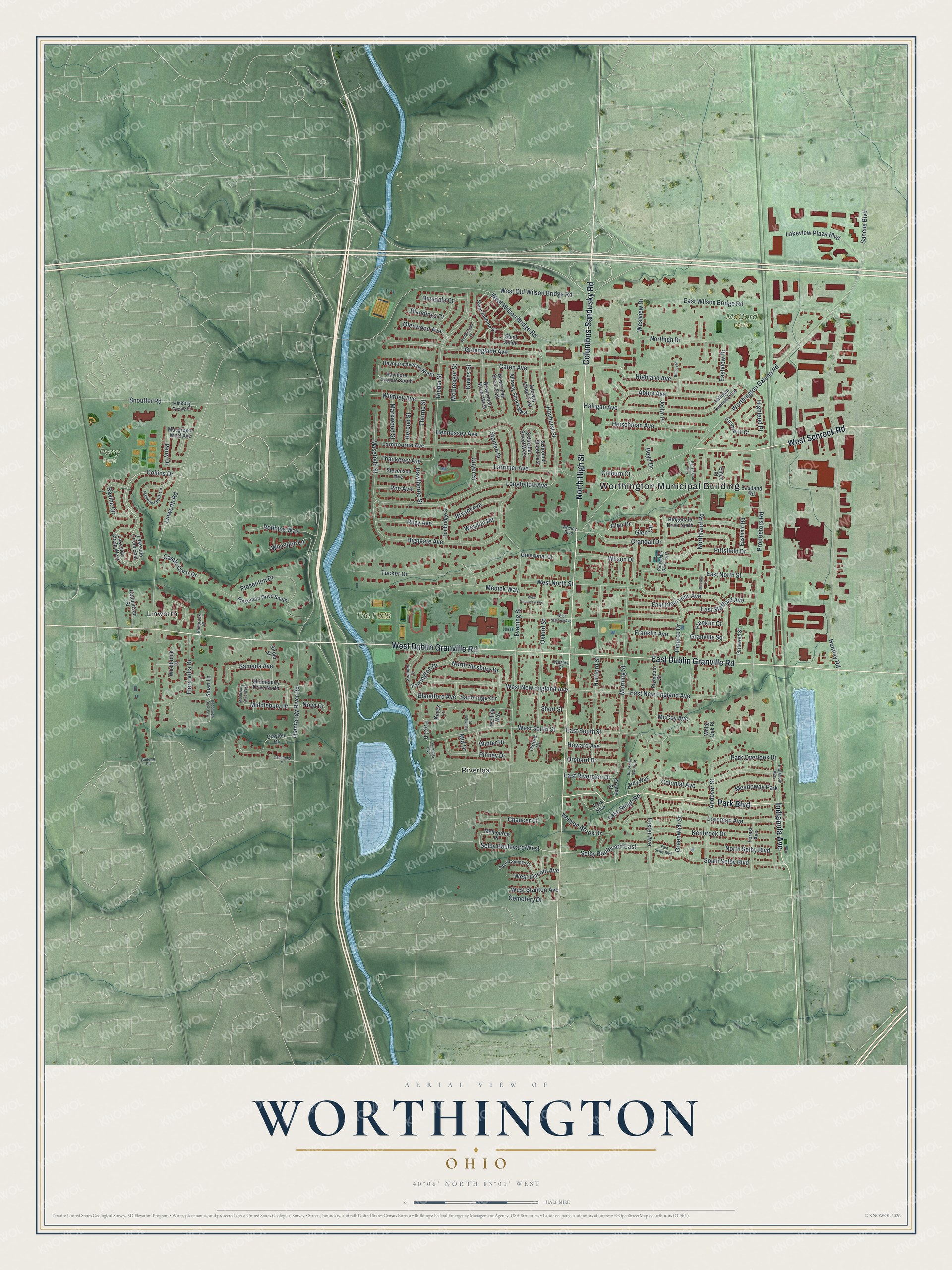
Created by KNOWOL in 2026, this map of Worthington fits an office, a den or a family room. The shaded land comes from USGS elevation data, and the red blocks of town sit between the river on the left and the open green country to the east. The title panel reads "Aerial View of Worthington, Ohio," with the coordinates 40°06' North, 83°01' West and a half-mile scale bar.
It's a thoughtful gift for someone who grew up near the village green on High Street, knows Perry Park and Linworth Road, or moved away and still misses home. Open the preview, zoom in and find the streets you know. See sizes and frames for the Worthington map.