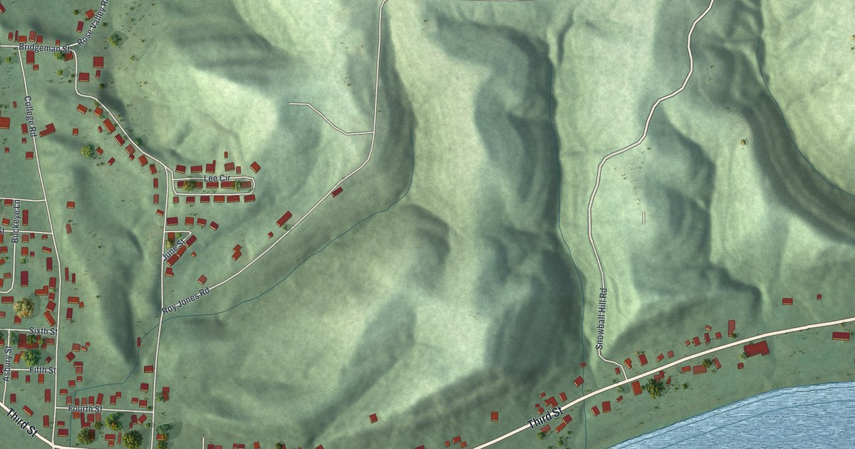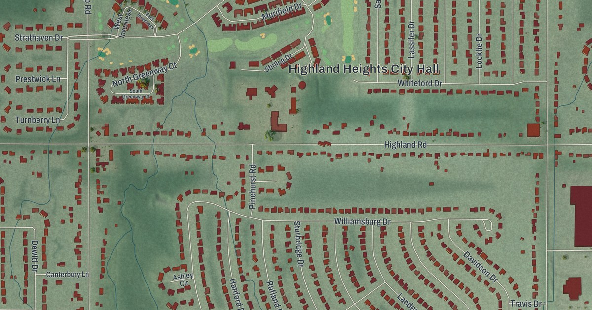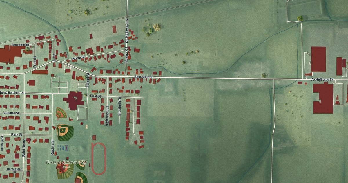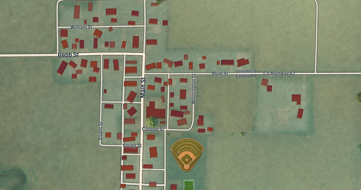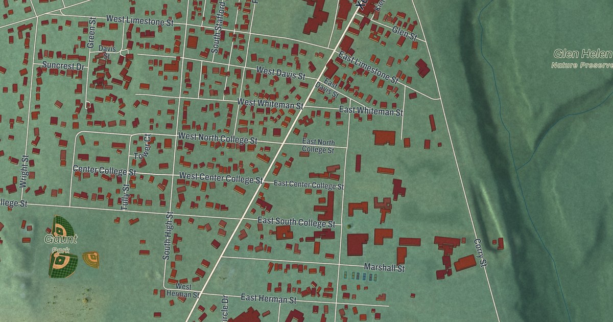
If you studied at Antioch College, or grew up walking Xenia Avenue to the shops, this map was made with you in mind. It's a modern aerial view of Yellow Springs in Greene County, Ohio, built from modern data and given a vintage look. More than 2,000 buildings sit as small red shapes along the village streets. Green, shaded ground rolls out on every side. Glen Helen Nature Preserve fills the right side, and a blue stream curves across the lower right corner.
Xenia Avenue, Glen Helen and Gaunt Park
On this map you'll find Xenia Avenue, Dayton Street, Corry Street, Livermore Street, President Street, West Limestone Street, East Hyde Road, Grinnell Road, Walnut Street, the Village Offices, Gaunt Park, Glen Helen Nature Preserve, Antioch Farm, School Forest, and more. Each red shape is a building, so zoom in on the preview and look for yours.
Antioch College on Livermore Street
Antioch College is the story most people in Yellow Springs tell first. The Ohio historical marker at 795 Livermore Street says the college was chartered in 1852 by the Christian Church. It opened with Horace Mann, a pioneer in education, as its first president. From the start, men and women studied side by side. The marker calls it one of the earliest co-educational colleges in the United States. In 1920, Arthur E. Morgan became president. He started a plan where students split their time between classes and real jobs, and many other schools copied it. The Antioch Review, one of the oldest literary magazines in America, began here in 1941. The college's Fine Arts Building stands at 405 Corry Street. It joined the National Register in 2022.
Virginia Hamilton and the library on Xenia Avenue
Yellow Springs also gave the country a great writer. Virginia Hamilton was born here in 1934 and lived and wrote here for much of her life. She published more than forty books, including The House of Dies Drear and M.C. Higgins the Great. Many of her stories are about the struggles and journeys of African Americans. Her marker stands at the Yellow Springs Community Library, 415 Xenia Avenue. Xenia Avenue is printed right across the middle of this map.
Keep Yellow Springs close, from Glen Helen to Gaunt Park
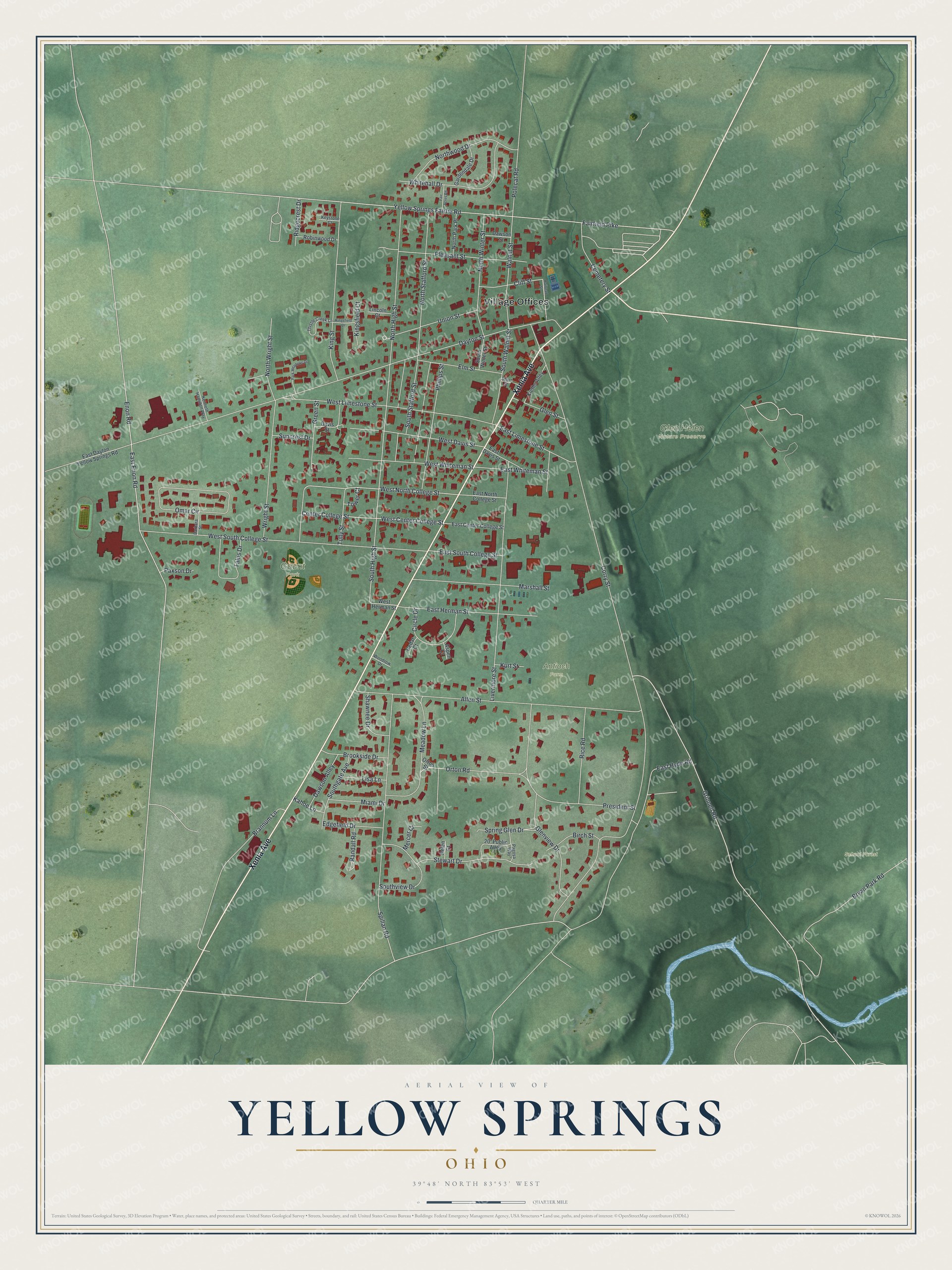
Created by KNOWOL in 2026, this print shows red buildings and pale streets over soft green, shaded ground, with terrain from USGS elevation data. The title panel reads AERIAL VIEW OF YELLOW SPRINGS, OHIO, with 39°48' NORTH 83°53' WEST printed below.
It fits a living room, a study, a home office or a front hall. It's a warm gift for an Antioch College graduate, or for anyone who grew up near Glen Helen and moved away. Open the preview and find your street. See sizes and frames for the Yellow Springs map.