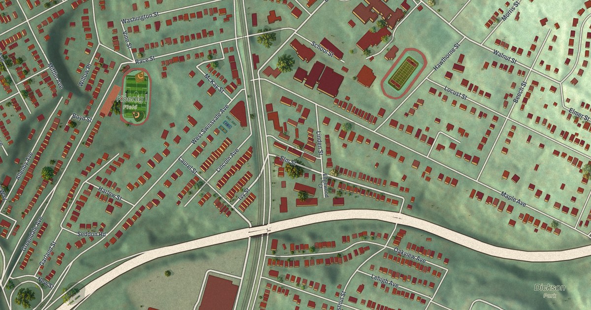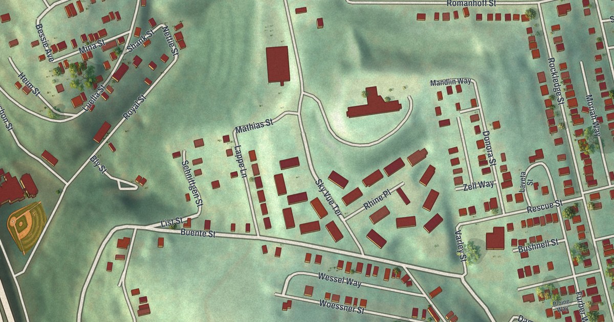
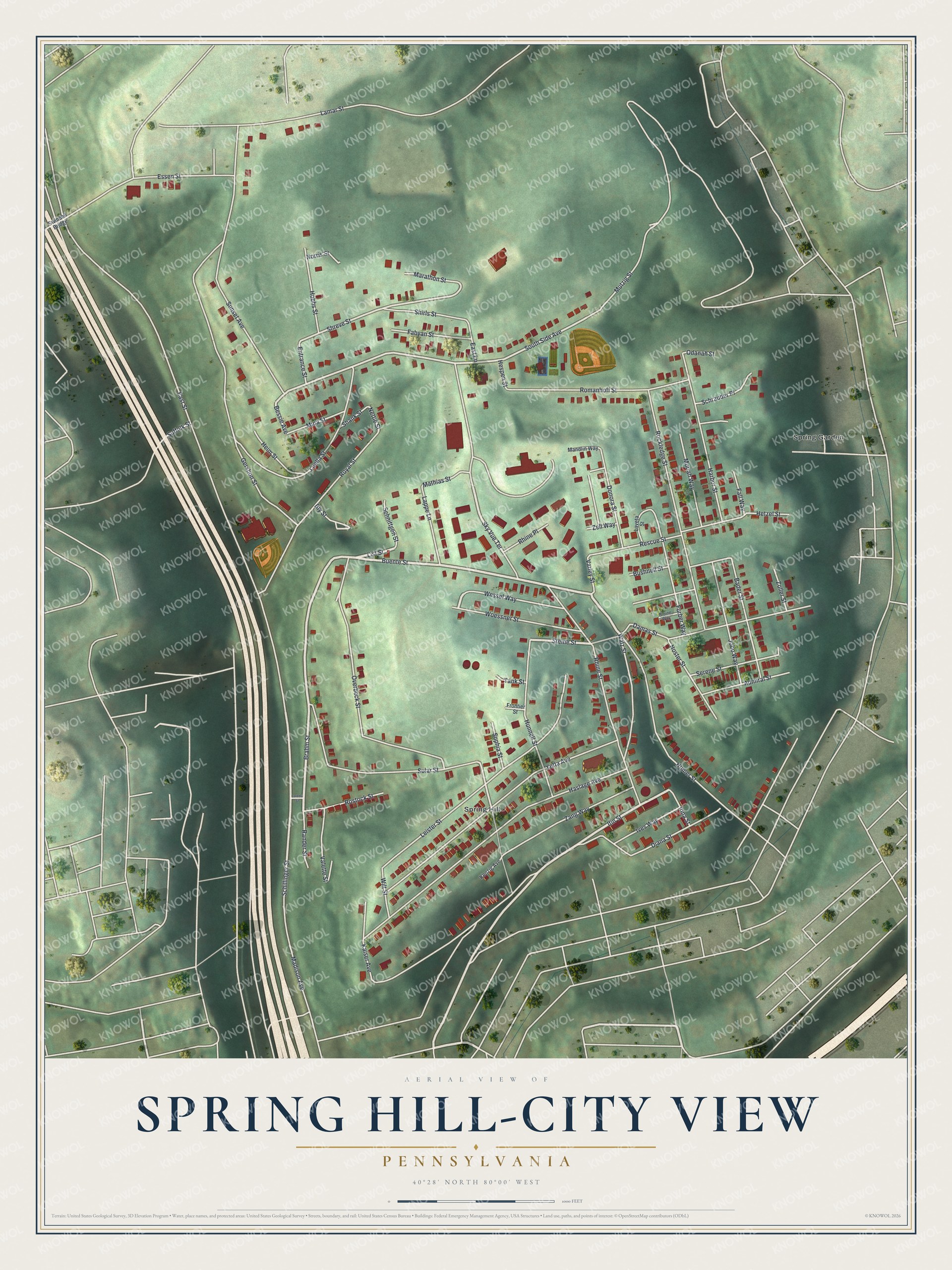
If you grew up near East Street, or your family still lives near Rhine Street or Haslage Avenue, this map was made with you in mind. It's a modern aerial view of Spring Hill-City View in Allegheny County, Pennsylvania, built from modern data and given a vintage look. The print shows more than 1,700 red buildings on a green hilltop. Steep, shaded hollows drop away on every side, and a wide highway runs down the left edge.
Rhine Street, Haslage Avenue and the Hilltop Blocks
On this map you'll find East Street, Rhine Street, Haslage Avenue, Buente Street, Romanhoff Street, Rescue Street, Bessie Avenue, Itin Street, Lamar Street, Essen Street, Sky Vue Terrace, Overbeck Street, Spring Hill, Spring Garden, and more. Each red shape is a building, so zoom in on the preview and look for yours.
St. Boniface Church on East Street
St. Boniface Roman Catholic Church stands on East Street. It was added to the National Register of Historic Places in 1981. On the map, look for East Street and the red buildings near the middle of the hilltop.
Some street names on the hill stand out, like Rhine Street, Essen Street, Rostock Street, Kaiser Avenue and Mutzig Street. Near South Side Avenue, a ball diamond sits in a patch of open ground. Down at the bottom, the Spring Hill label sits among long rows of homes.
Spring Hill and City View on Your Wall
Names on this map
These names are printed on this map.
Places: Spring Garden and Spring Hill.
Streets and roads: Buente Street, Brahm Street, Itin Street, List Street, Lappe Lane, Steine Street, Sky Vue Terrace, Schillinger Street, Nettie Street, South Side Avenue, Bessie Avenue, Shreve Street.
More street names, A to Z
Admiral Street, Bader Street, Bloine Way, Bly Street, Bushnell Street, Damas Street, Diana Street, Donora Street, East Lane, East Street, Entrance Street, Essen Street, Fabyan Street, Fall Way, Frontier Street, Furber Way, Gershon Street, Harbor Street, Haslage Avenue, Heim Street, Hespen Street, Hetzel Street, Hobbs Street, Homer Street, Hunnell Street, Iona Street, Ives Way, Jobo Way, Kaiser Avenue, Kenzig Avenue, Lamar Street, Lareda Street, Laveta Street, Leister Street, Luella Street, Madison Avenue, Mandlin Way, Marathon Street, Mathias Street, Mina Street, Moriah Way, Mutzig Street, Norris Street, Noster Street, Odanah Street, Overbeck Street, Rander Street, Rescue Street, Rhine Place, Rhine Street, Rockledge Street, Romanhoff Street, Rostock Street, Royal Street, Schnittgen Street, Schrauder Place, Serene Street, Shank Street, Shirls Street, Solar Street, Sophia Street, Suffolk Street, Sunset Avenue, Swindell Bridge, Tank Street, Valette Street, Varley Street, Walz Street, Wessel Way, Wilt Street, Woessner Street, Yetta Avenue, Zang Way, Zell Way, Zoller Street.
Created by KNOWOL in 2026, the print shows the hilltop in soft greens, with red buildings, pale roads and shaded hollows. The title panel reads "Aerial View of Spring Hill-City View, Pennsylvania," with 40°28' North 80°00' West printed below it.
It fits a living room, a front hall or a home office. It's a good gift for anyone who remembers St. Boniface on East Street, or for a son or daughter who moved away from the hill. Open the preview and find the street where you grew up. See sizes and frames for the Spring Hill-City View map.