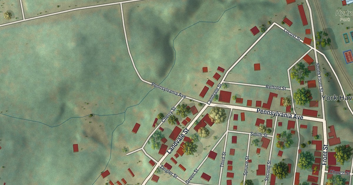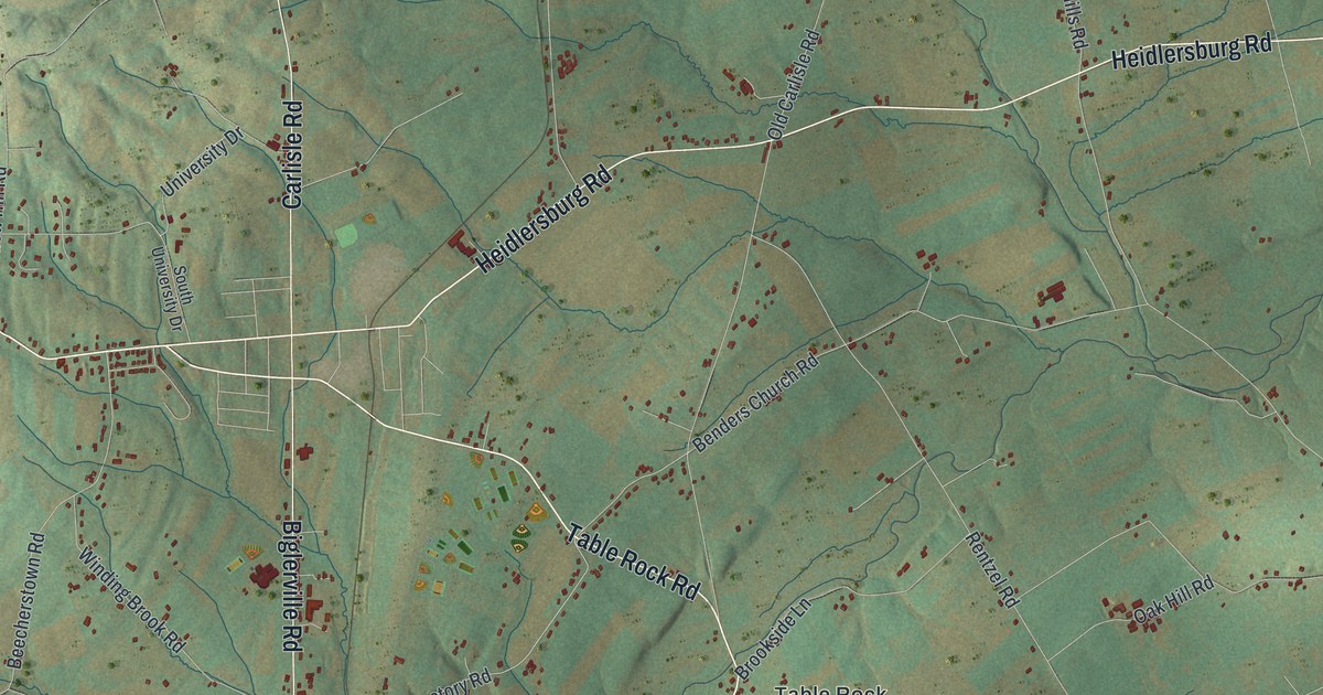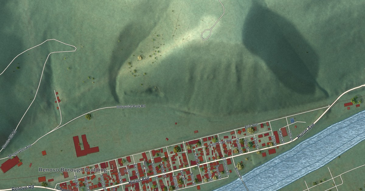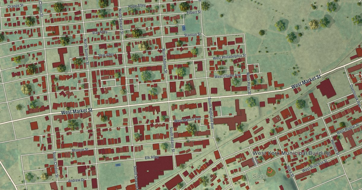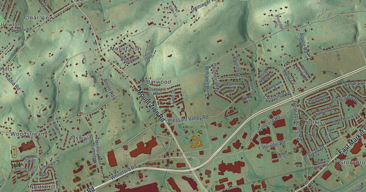
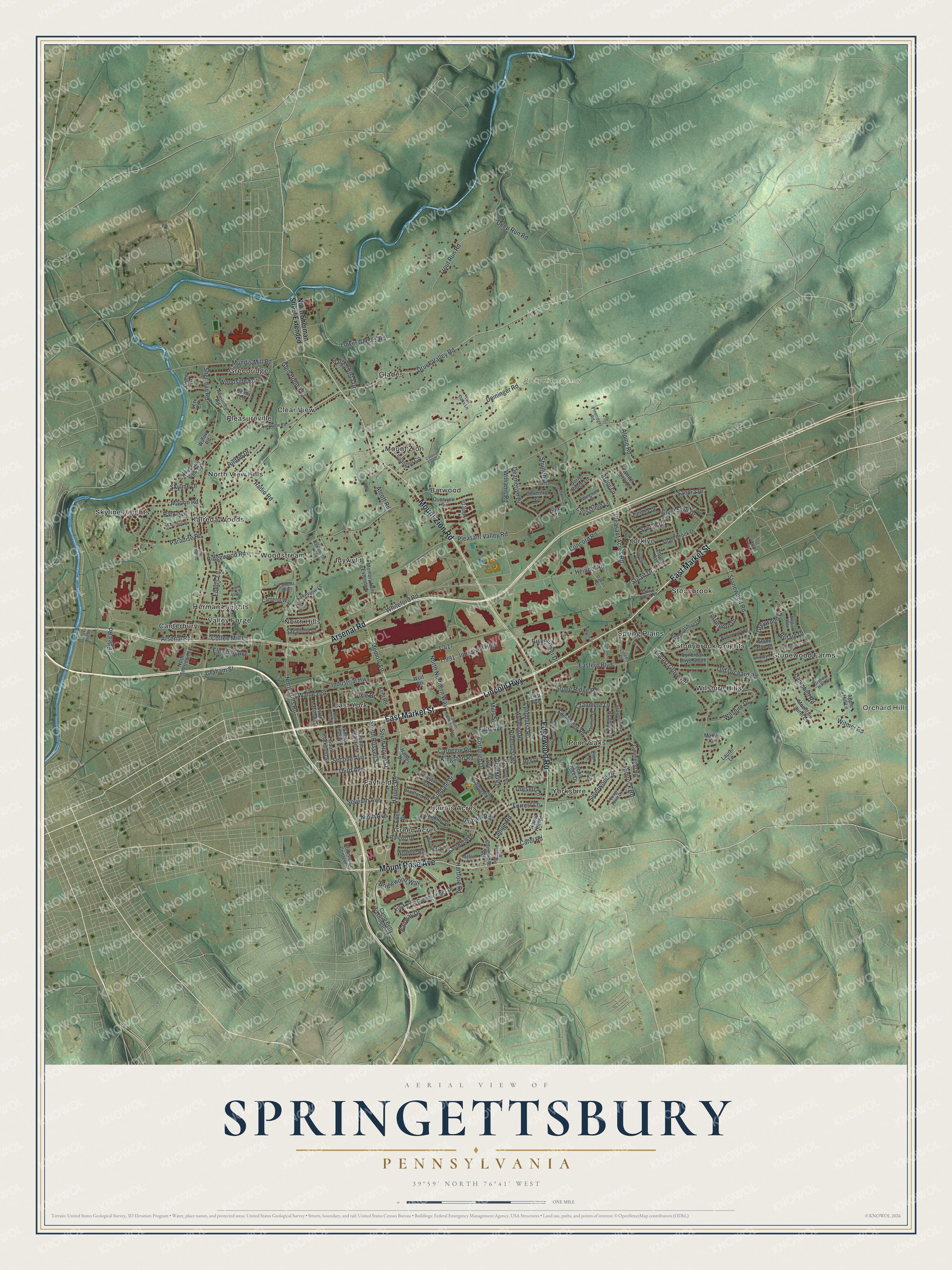
If you grew up in Haines Acres, Yorkshire or along East Market Street, this map is your home from above. It's a new aerial view of Springettsbury Township in York County, Pennsylvania, made from modern data and given a vintage look. Green shaded hills fill the top of the sheet. A blue creek winds down the left side. Below the hills, small red buildings crowd around Lincoln Highway and East Market Street.
Streets and neighborhoods on the Springettsbury map
On this map you'll find East Market Street, Lincoln Highway, Mount Rose Avenue, Mount Zion Road, Arsenal Road, Eastern Boulevard, Haines Road, Druck Valley Road, Memory Lane, Rocky Ridge County Park, Haines Acres, Yorkshire, Stonybrook, East York, Orchard Hill, and more. Each red shape is a building, so zoom in on the preview and look for yours.
Camp Security, a Revolutionary War prison camp
One story from Springettsbury's past goes back to the Revolutionary War. A state historical marker on East Market Street tells it. In 1781, a prison camp called Camp Security was built to hold British troops. They had surrendered with General Burgoyne at Saratoga, New York. Their families came with them. Later, men captured at Yorktown, Virginia, arrived too. York County militia and Continental troops stood guard. The camp was made of log huts and a large stockade. It closed when the war ended in 1783. The marker says archaeological evidence confirmed the camp's location less than a mile to the south. The marker stands on East Market Street, which is printed on the map, and it says the camp was less than a mile south of it.
The Strickler Family Farmhouse on Williams Road
Another old place stands at 1205 Williams Road. It's the Strickler Family Farmhouse. It was added to the National Register of Historic Places in 1991. Williams Road is printed on the map, so you can find the road the farmhouse sits on.
From Rocky Ridge County Park to Mount Rose Avenue
Names on this map
These names are printed on this map.
Places: Orchard Hill, Rocky Ridge County Park, Barwood, Canterbury, Clear View, East York, Fayfield, Glades, Green Acres, Greenridge, Haines Acres, Herman Heights, Idywyld, Kalreda Woods, Mount Zion, North Hills, North View Hills, Penn Oaks, Pleasureville, Skyline Heights, Spring Plains, Stonewood Farms, Stonybrook, Stonybrook Heights, Valley Forge, Wilshire Hills, Woodstream, Yorklyn and Yorkshire.
Streets and roads: East Market Street, Lincoln Highway, Mount Rose Avenue, Mount Zion Road, Arsenal Road, Edgewood Road, Druck Valley Road, Memory Lane, Haines Road, South Royal Street, Campbell Road, Silver Spur Drive.
More street names, A to Z
Academy Road, Alcott Road, Alpine Road, Apple Hill Lane, Arbor Lane, Ardmore Lane, Becket Road, Bedfordshire Drive, Bradford Drive, Bridlewood Way, Brighton Drive, Britain Drive, Cambridge Road, Camelot Arms, Camelot Way, Camp Betty Washington Road, Carnegie Road, Carol Road, Cheltenham Road, Chronister Street, Cimmeron Road, Cinema Drive, City View Road, Coffee Mill Lane, Colonial Farm Lane, Commerce Center Drive, Commons Drive, Concord Road, Cortleigh Drive, Coventry Court, Cranmere Lane, Crossfield Lane, Crystal Lane, Davies Drive, Deamerlyn Drive, Deep Run Road, Deininger Road, Denny Lane, Dixie Drive, Dorsett Lane, Durham Road, Eastern Boulevard, Eastwood Drive, Eberts Lane, Edenbridge Road, Eden Road, Eisenhower Drive, Eleventh Avenue, English Way, Erlen Drive, Eton Lane, Fairway Drive, Fifth Avenue, First Avenue, Folkstone Way, Forrest Lane, Ginger Circle, Glen Hollow Drive, Graham Street, Grant Drive, Greensprings Drive, Greywood Drive, Haines Drive, Hartford Road, Hawthorne Road, Heindel Road, Hilltop Drive, Hope Lane, Industrial, Industrial High, Industrial Highway, Ivory Road, Kent Road, Kingston Road, Lakeview Lane, Laurel Lane, Lee Court, Lehigh Road, Lisa Lane, Livingstone Drive, Locust Grove Road, Long Drive, Long Point Drive, Loucks Mill Road, Lower Glades Road, Lynbrook Drive South, Lyndhurst Road, Marble Court, Marion Road, Maywood Road, Memory Lane Extended, Milford Lane, Mills Street, Mountain Laurel Lane, Mundis Mill Road, Ninth Avenue, North East Street, North Hills Road, North Keesey Street, North Marshall Street, North Northern Way, North Sherman Street, North Sherman Street Extended, Oakleigh Drive, Old Orchard Road, Orchard Hills Drive, Overview Drive, Paradise Road, Park Avenue, Parkview Road, Pebble Ridge Drive, Pinehurst Road, Pineridge Road, Pleasant Acres Road, Pleasant Valley Road, Pleasant View Drive, Plymouth Road, Quaker Drive, Radio Road, Raleigh Drive, Regency Lane, Rex Drive, Ridgewood Road, Rimrock Road, Robinwood Road, Round Hill Road, Sagamore Drive, Sandra Drive, Second Avenue, Seventh Avenue, Sheridan Road, Shulton Drive, Silverwood Drive, Skyline Drive, Sorrel Ridge Lane, South Findlay Street, South Harlan Street, South Northern Way, South Rockburn Street, South Russell Street, Spangler Circle, Springetts Drive, Stanford Drive, Stone Ridge Road, Stone Run Drive, Stonewood Road, Stony Brook Drive, Stony Brook Road, Stuart Drive, Sundale Drive, Sylvan Drive, T-417, T-991, Tall Oaks Lane, Tarpley Drive, Taunton Drive, Third Avenue, Throne Avenue, Torrington Drive, Trout Run Road, Tulsa Drive, Valley Vista Drive, Wallace Street, Wharton Road, Whiteford Road, Williams Road, Willow Road, Wilshire Drive, Wingfield Drive, Winter Berry Drive, Witmer Road, Wolf Road, Woodlyn Terrace, Woodside Road, Wynwood Road.
Created by KNOWOL in 2026, this print shows Springettsbury from above, with green shaded hills, a winding blue creek and red buildings on shaded green terrain. The title panel reads "Aerial View of Springettsbury, Pennsylvania" with the coordinates 39°59' North 76°41' West.
It fits a living room, a home office or a front hall. It's a thoughtful gift for someone who grew up near Rocky Ridge County Park and now lives far away. Open the preview and find the streets you know. See sizes and frames for the Springettsbury map.