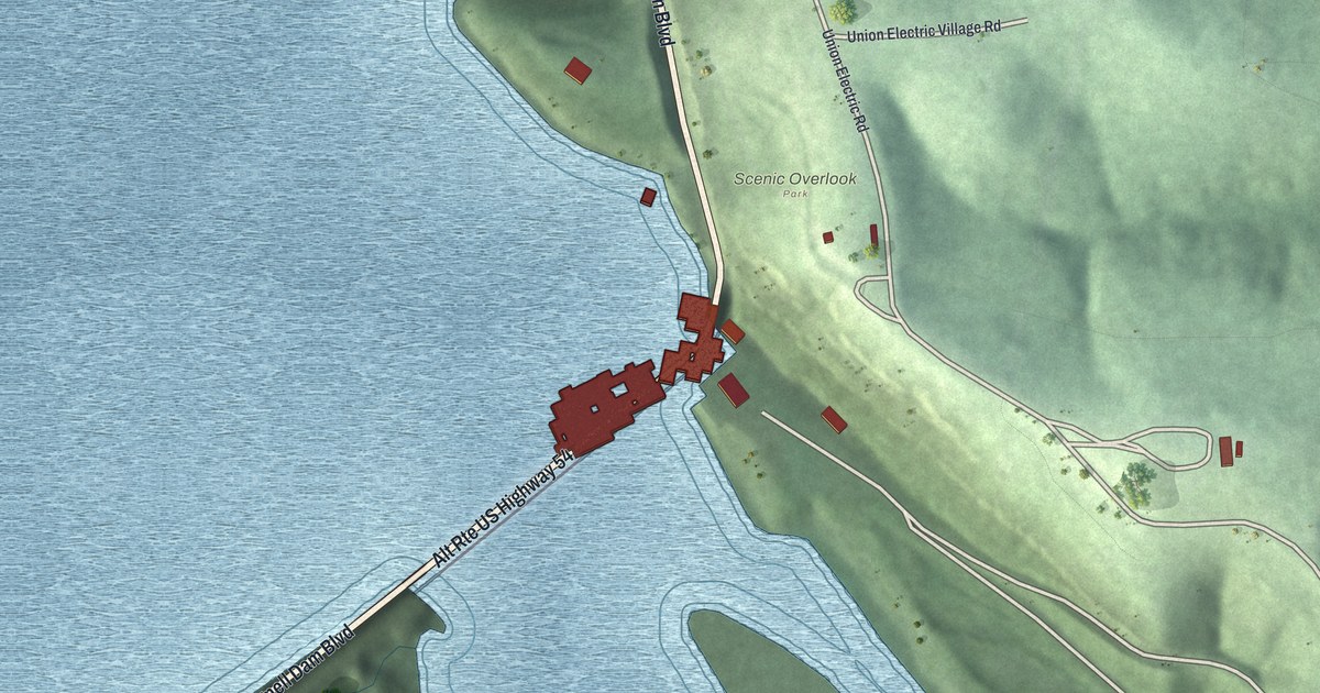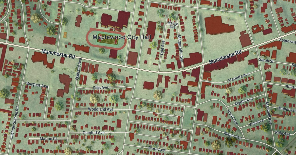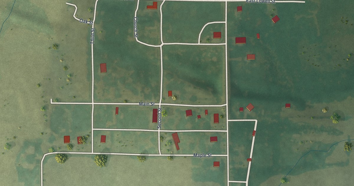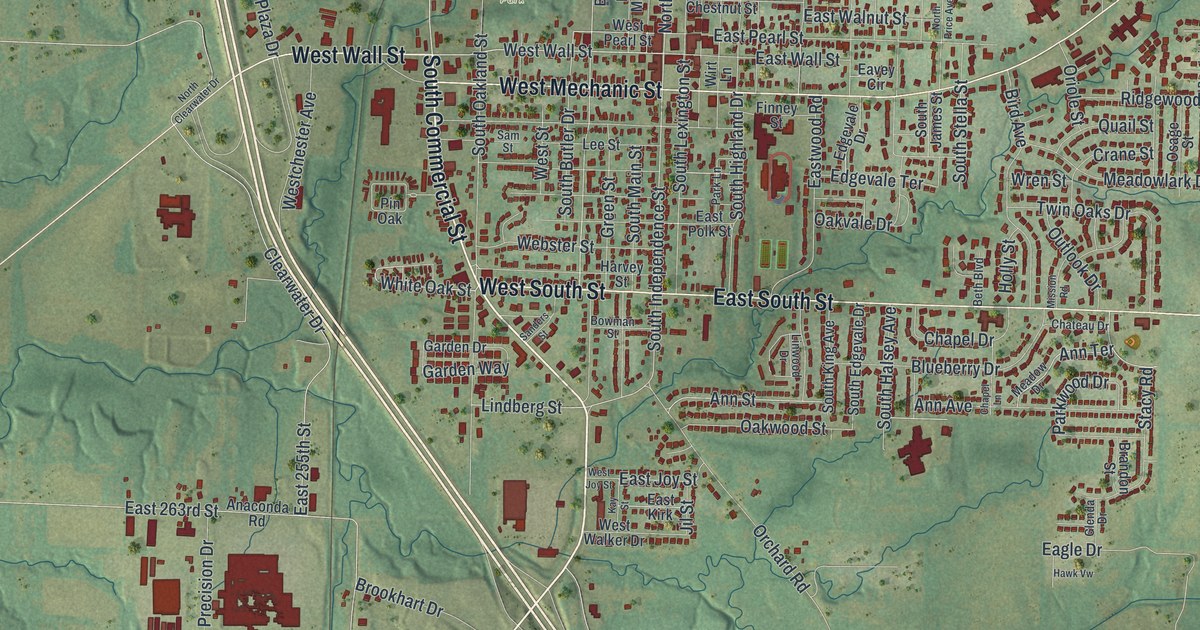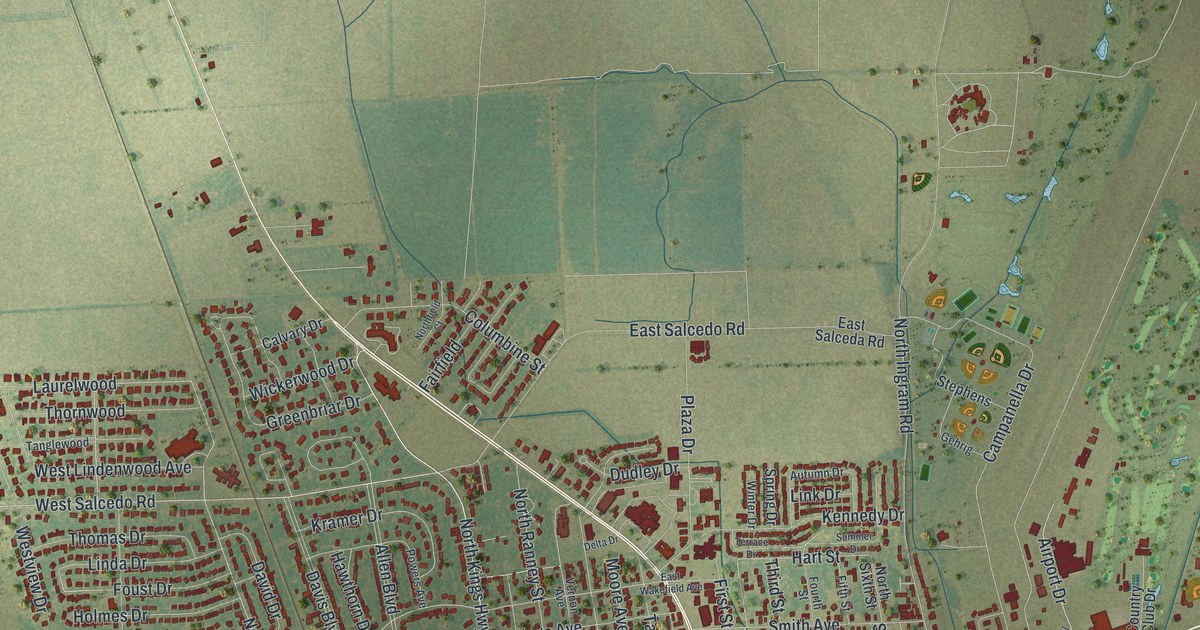
If you grew up near East Malone Avenue or still drive North Main Street to work, this print shows your Sikeston. It's a modern aerial view of Sikeston in Scott County, Missouri, made from modern data and given a vintage look. The town fills the middle of the sheet, with thousands of red buildings packed along its streets. Flat farm fields in squares of green and tan spread out on every side.
Three Sikeston buildings on the National Register
On this map you'll find East Malone Avenue, West Malone Avenue, North Main Street, South Main Street, North Kingshighway, South Ingram Road, Plantation Boulevard, Westgate Street, West Front Street, Jaycee Street, Country Club Drive, Sikes Avenue, East Salcedo Road, and more. Each red shape is a building, so zoom in on the preview and look for yours.
Sikeston has three buildings on the National Register of Historic Places. The Register lists the Marshall Hotel at 103 East Malone Avenue. It was added in 1984. The old train depot of the St. Louis, Iron Mountain and Southern Railway was listed in 2000. The Register places it on Front Street, between Scott and New Madrid Streets. On the map, look near South Scott Street and South New Madrid Street. The newest listing is Lincoln School, at 229 Westgate. It joined the Register in 2024. You can find Westgate Street west of downtown, among the tight rows of red buildings.
A town laid out south of Sikeston in 1814
Sikeston's story on this ground goes back a long way. An old place-name file at the State Historical Society of Missouri tells of a town laid out in 1814. It sat half a mile south of the present site of Sikeston. For a time, that town was the county seat of New Madrid County. The map reaches well south of downtown, across the flat land where that early town once stood.
Keep East Malone Avenue close to home
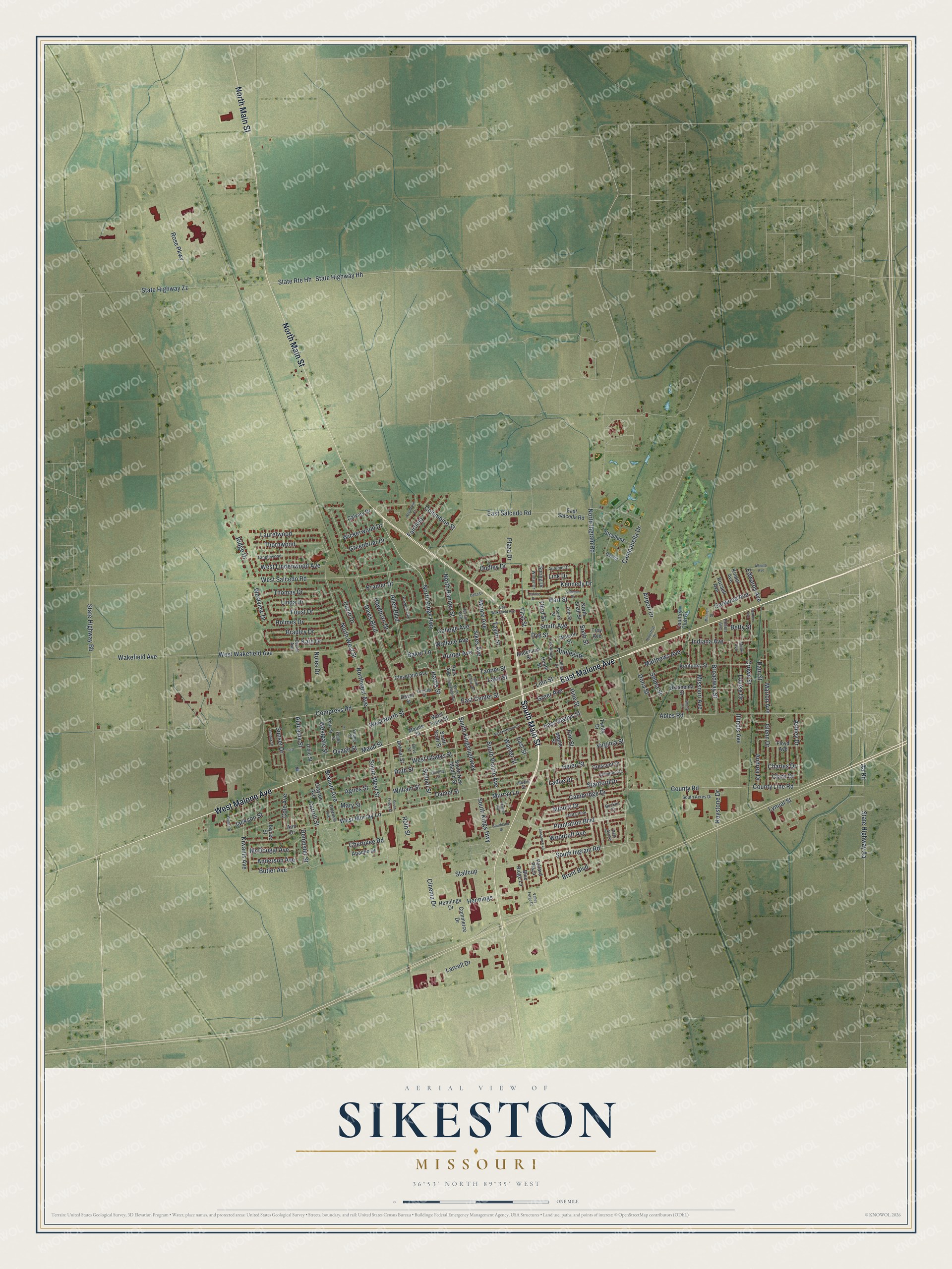
Created by KNOWOL in 2026, this print shows Sikeston from above in soft greens and tans, with buildings in deep red and streets in fine pale lines. The title panel at the bottom reads Aerial View of Sikeston, Missouri, with the coordinates 36°53' North 89°35' West.
It fits a living room, a front hall or an office wall. It makes a good gift for someone who remembers the Marshall Hotel, or for a friend who moved away and still misses Sikeston. Open the preview and find your own street. See sizes and frames for the Sikeston map.