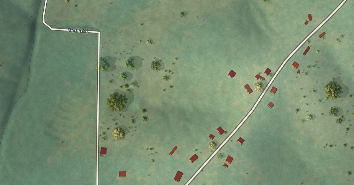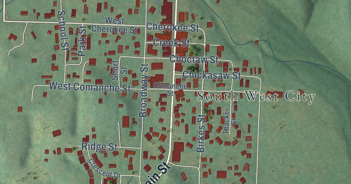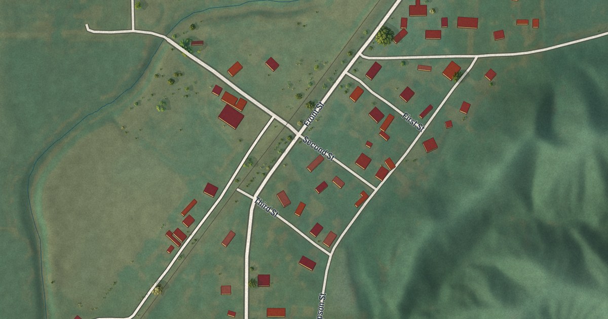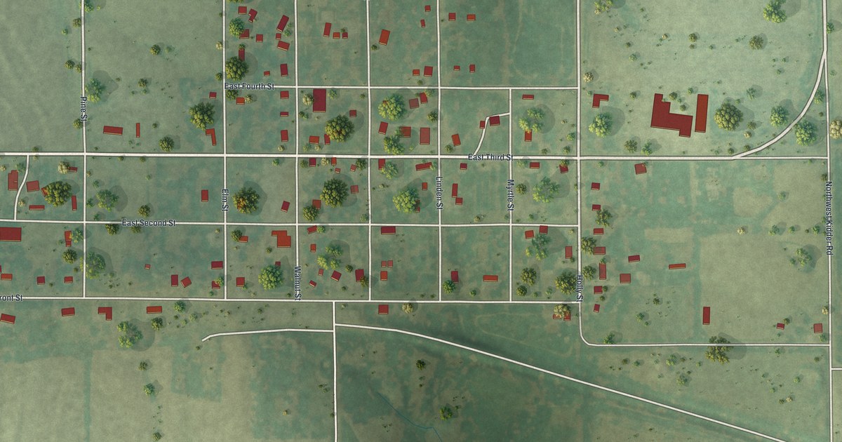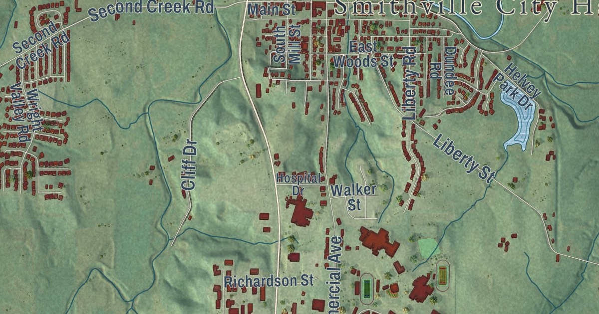
This beautifully detailed map of Smithville, Missouri was created in 2026 using aerial imagery combined with modern topographical, census, street and landmark data. It’s a one-of-a-kind view of Smithville that combines accurate data with a vintage aesthetic. The map shows every building in its true location, many of the roads carry their names, and the shaded topographic relief shows the shape of the land.
Explore an aerial view of Smithville, Missouri
On the map you’ll find Smithville City Hall, along with North US Highway 169, Spelman Drive, Second Creek Road, Pope Lane, First Street, Eagle Parkway, East Main Street, Northwest 144th Street, South Commercial Avenue, County Line Road, 156th Street, and more. If you look closely you can even find your house accurately drawn in its correct location. Zoom in on the preview to look for yours.
Did you know this piece of Smithville, Missouri history?
The city is named for Humphrey Smith, nicknamed Yankee, who settled at the site in 1822. He lived from 1774 to 1857. The town was first known as Smith’s Mill before it became Smithville.
Take a closer look at the Smithville map
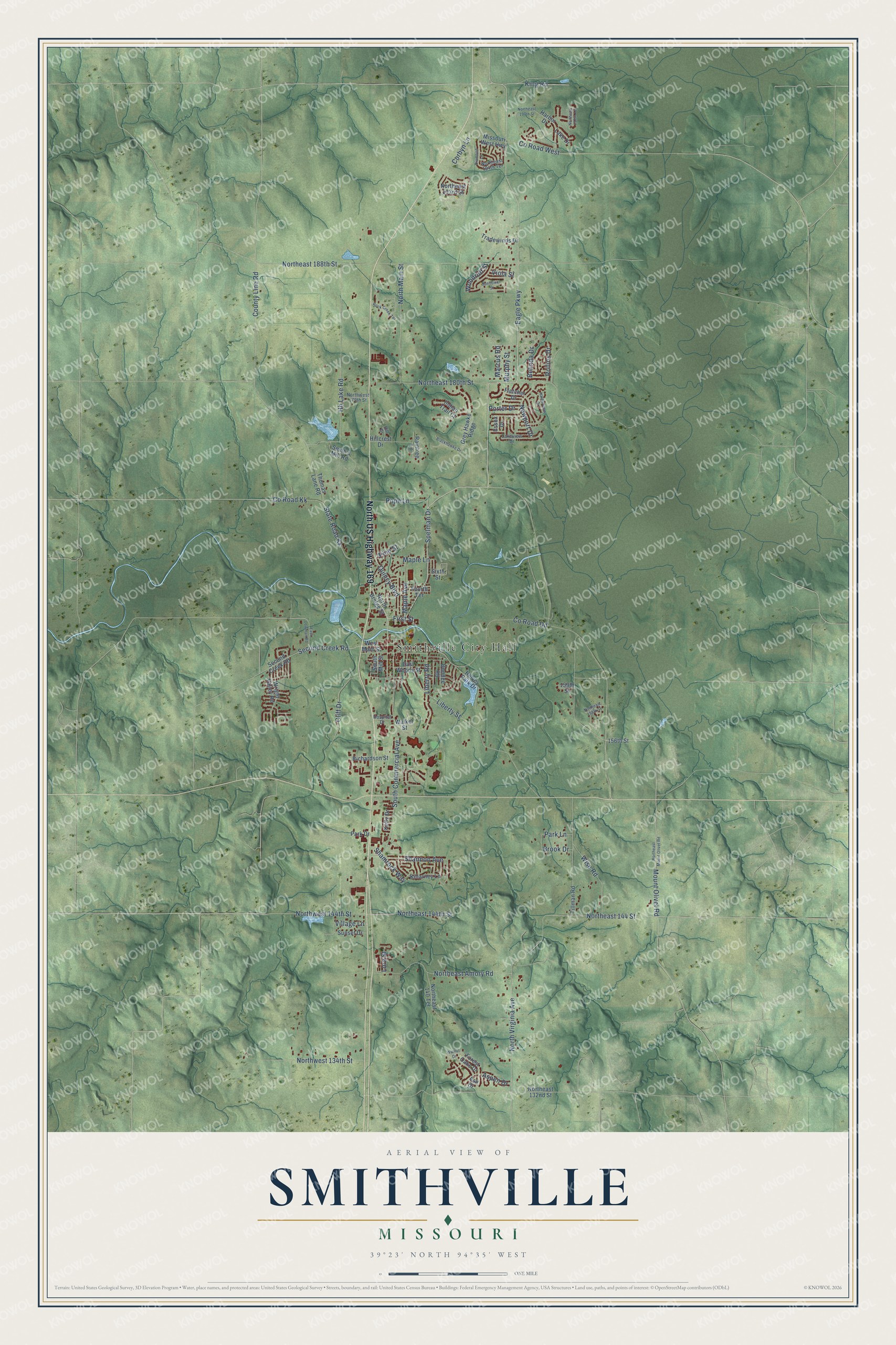
Street and place names on the Smithville, Missouri map
These names are printed on the map of Smithville, Missouri.
Places: Smithville City Hall.
Streets and roads: North US Highway 169, Spelman Drive, Second Creek Road, Pope Lane, First Street, Eagle Parkway, Northwest 144th Street, South Commercial Avenue, County Line Road, Quincy Boulevard, Northeast 188th Street, County Road West.
More street names, A to Z
156th Street, 159th Street, Ash Drive, Aspen Drive, Belinda Drive, Blackhawke Drive, Brook Drive, Cliff Drive, Corbyn Lane, County Road Dd, County Road Kk, Diamond Lane, Dundee Road, East Lowman Road, East Woods Street, Essex Drive, Fletcher Drive, Forest Oaks Drive, Fourth Terrace, Grey Hawke Ridge, Harbor Drive, Harborview Drive, Helvey Park Drive, Hh Lake Road, Hillcrest Drive, Hill Drive, Hospital Drive, Indian Trail Court, Kelly Drive, Killarney Lane, King Road, Lake Drive, Lakeview Drive, Liberty Road, Liberty Street, Lora Street, Maple Avenue, Maple Lane, Marcus Road, Missouri West Highway, Mount Olivet Road, Murphy Street, Newport Drive, North Bridge Street, Northeast 132nd Street, Northeast 140 Terrace, Northeast 144 Street, Northeast 144th Street, Northeast 158th Street, Northeast 180th Street, Northeast 193rd Street, Northeast 194th Terrace, Northeast 197th Street, Northeast 197th Terrace, Northeast Amory Road, Northeast Mount Olivet Road, North Main Street, North Virginia Avenue, Northwest 134th Street, Northwest 179th Street, Park Drive, Park Lane, Pine Street, Porter Drive, Raintree Lane, Richardson Street, Rock Creek Terrace, Rollins Drive, Shamrock Way, Shannon Avenue, Sixth Street, Smith's Mill Road, South Mill Street, State Road Kk, Sunflower Street, Sunset Drive, Thomas Lane Road, Tillman Road, Tradewinds Drive, Village Lane, Viola Street, Walker Street, Walnut Drive, West Main Street, Wise Road, Woodruff Street, Wright Valley Road.
See the Smithville, Missouri map on a wall
The Smithville map as an 18 x 24 inch print in a black frame.

This beautifully detailed map of Smithville makes an attractive addition to your office, library, or den, and it can even be used to teach children the geography and history of the area. It also makes a great gift for someone who left Smithville and still calls it home. When you’re done exploring, click here to get your copy of the Smithville map.