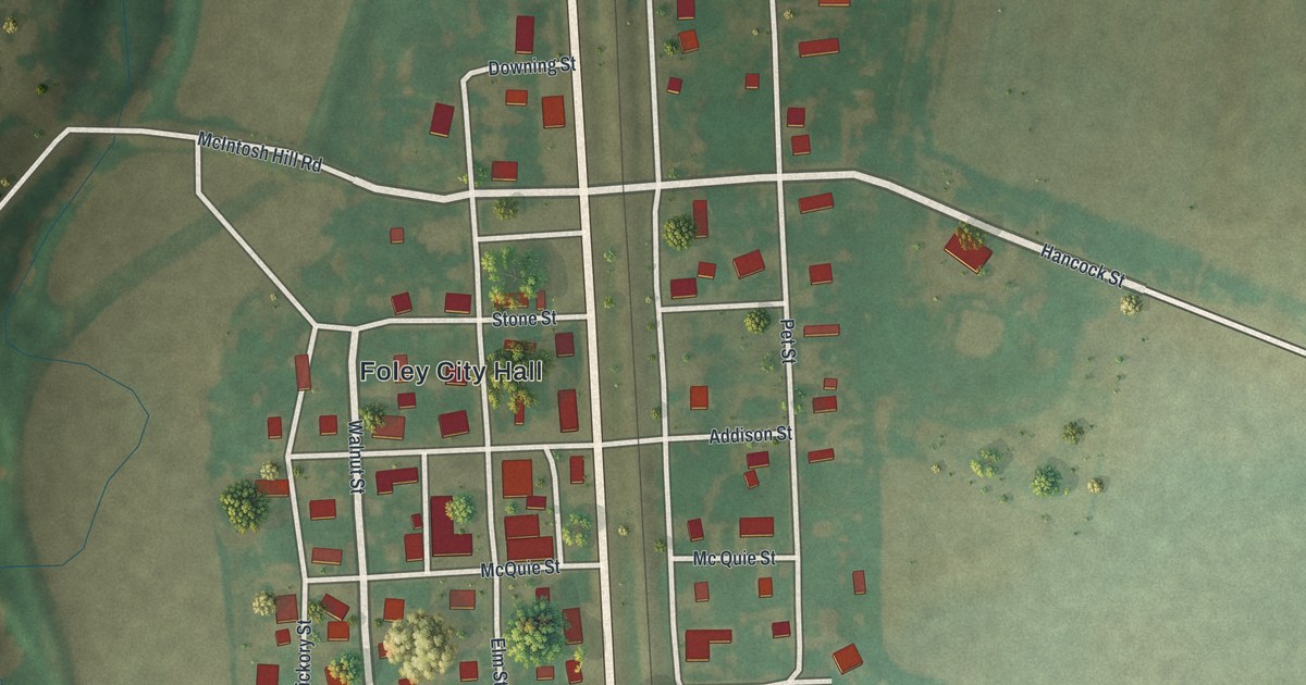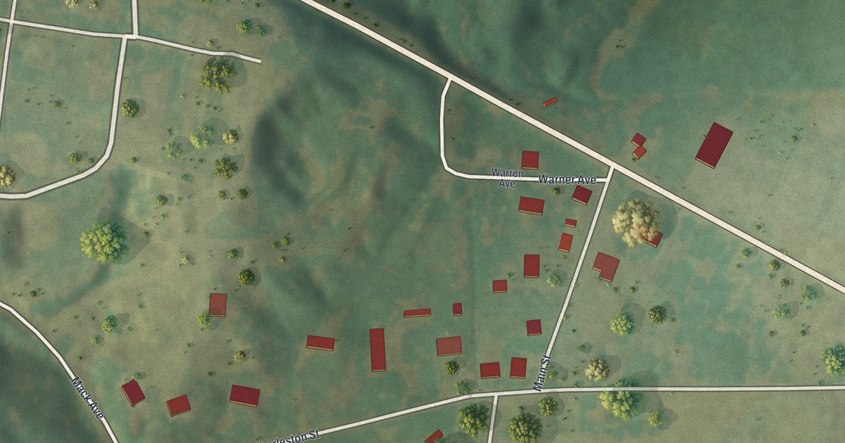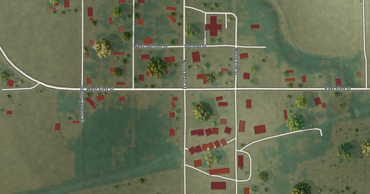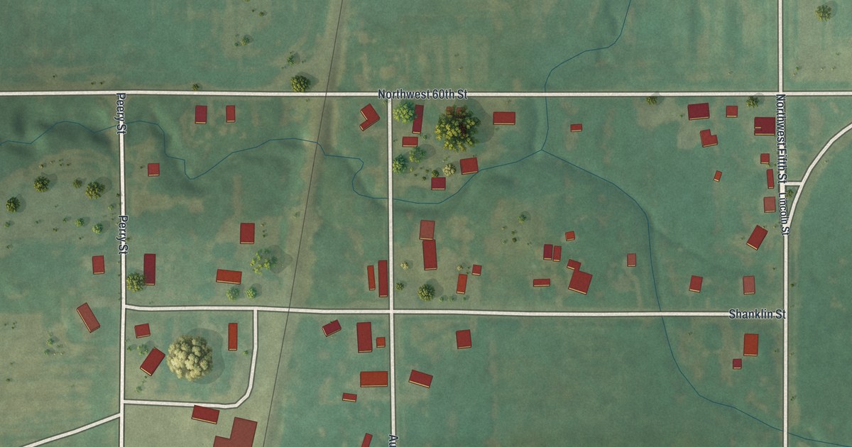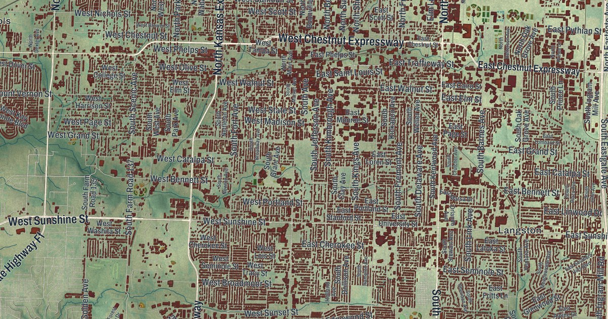
If you grew up in Springfield or still have family off Glenstone or Campbell, this print puts your whole city on one sheet. It's a modern aerial view of Springfield in Greene County, Missouri, made from modern data and given a vintage look. More than 87,000 buildings show up as small red shapes. Green hills and blue creeks wrap around the city on every side, and blue lakes sit near the top and bottom of the sheet.
Streets and Neighborhoods on the Springfield Map
On this map you'll find South Glenstone Avenue, West Chestnut Expressway, South Campbell Avenue, North Boonville Avenue, East Sunshine Street, East Battlefield Road, South National Avenue, East Kearney Street, East Saint Louis Street, South Kansas Expressway, Old US Highway 66, Galloway, Sequiota, Valley Water Mills, Kissick, and more. Each red shape is a building, so zoom in on the preview and look for yours.
Springfield's First Store and the Wagons from Tennessee
Springfield's trade started small. The History of Greene County, Missouri, printed in 1883, tells how. Junius T. Campbell opened the first store in Springfield. For a time, he was the only merchant in the whole county. Then Major D. D. Berry came to town with two wagon-loads of goods. He'd brought them from Bolivar, Tennessee. That's a trip of about five hundred miles. On the map, the red shapes crowd closest together near the center of the sheet.
Downtown Buildings on the National Register
Springfield has many buildings on the National Register. The list includes Heer's Department Store, the Gillioz Theater and the Landers Theater. It also includes the Greene County Courthouse on Boonville Avenue. Farther out, the Register lists the Rail Haven Motel on South Glenstone Avenue. It lists the Route 66 Steak 'n Shake on East Saint Louis Street too. Both of those streets are printed on this map, so you can spot their blocks.
From Valley Water Mills to Kissick
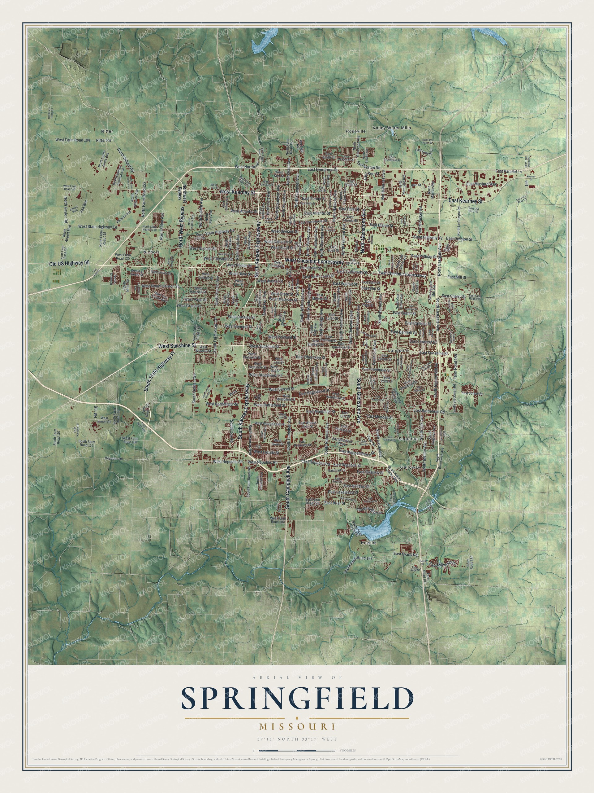
Created by KNOWOL in 2026. The print shows Springfield from above in soft greens and blues, with every building in deep red and the hills shaded so you can see the land rise and fall. The title panel reads Aerial View of Springfield, Missouri, with the coordinates 37°11' North 93°17' West.
It fits a living room, a home office or the hallway by the front door. It's a good gift for someone who grew up near Galloway or Sequiota and has since moved away, or for anyone who knows Glenstone and Sunshine by heart. Open the preview and zoom in on your part of town. See sizes and frames for the Springfield map.