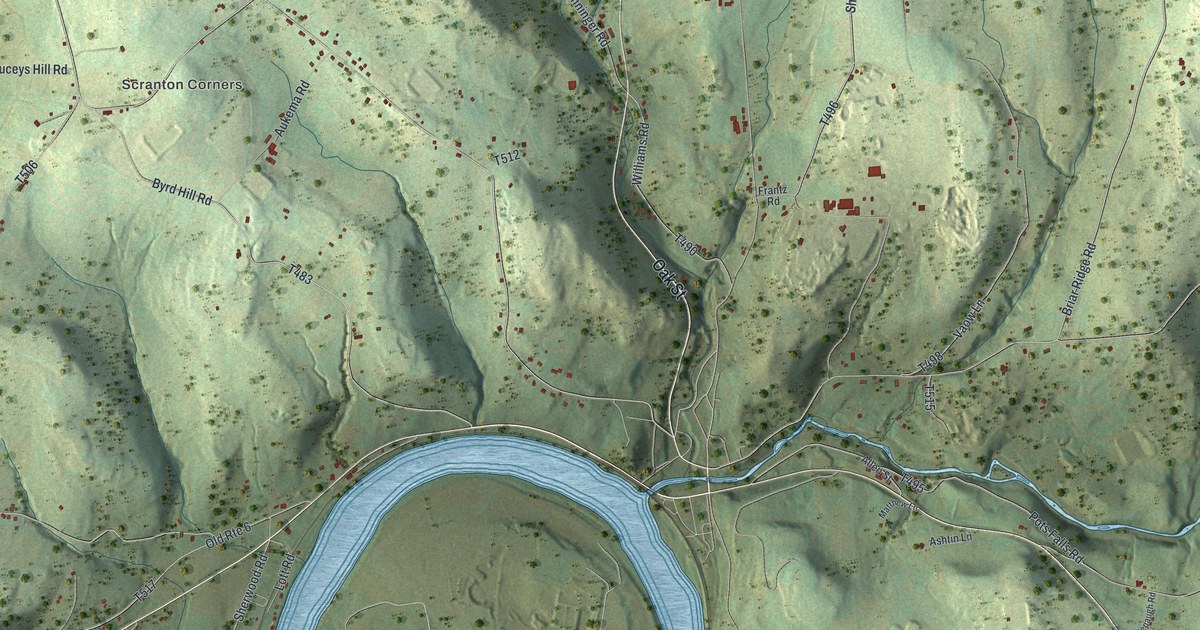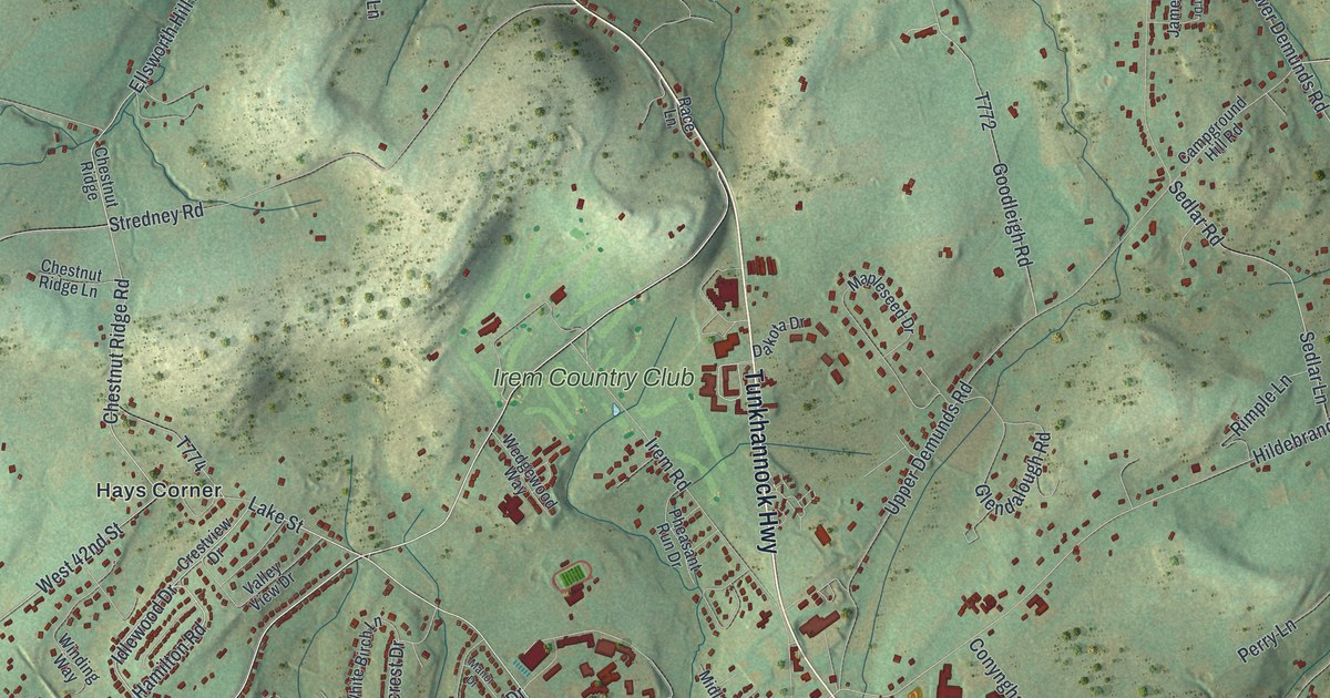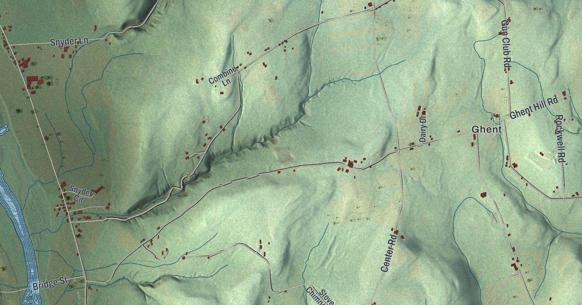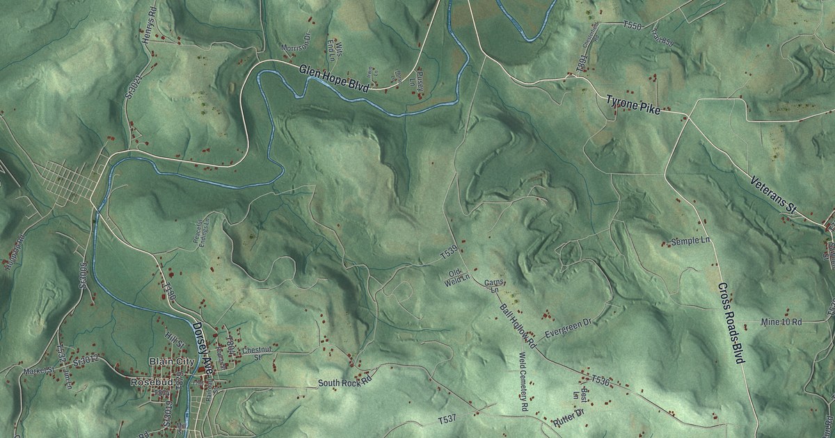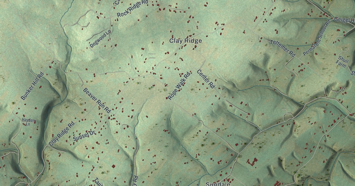
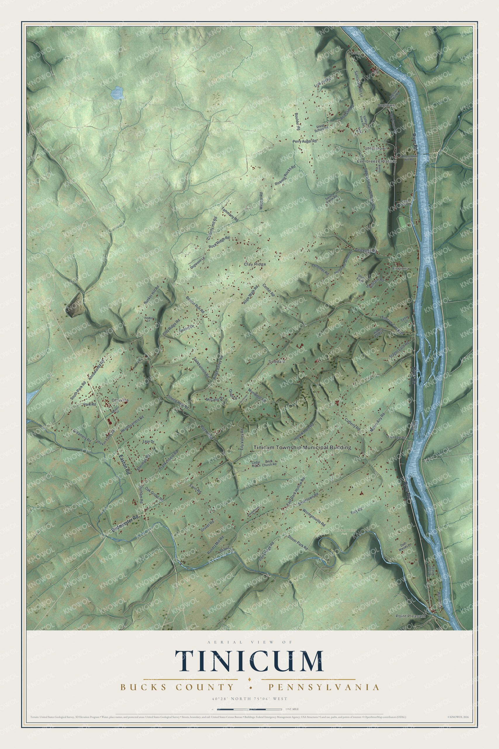
If you grew up in Tinicum, look for your village on this print. It's a modern aerial view of Tinicum in Bucks County, Pennsylvania, made with modern data and a vintage feel. Green hills fill the sheet, with small red buildings scattered along winding roads. A broad blue river curves down the right side.
Uhlerstown and Tinicum's Canal Days
On this map you'll find River Road, Easton Road, Headquarters Road, Geigel Hill Road, Uhlerstown, Erwinna, Ottsville, Point Pleasant, Clay Ridge, Lodi, Tinicum Creek Road, Uhlerstown Hill Road, and more. Each red shape is a building, so zoom in on the preview and look for yours.
Uhlerstown's name holds a piece of Tinicum's canal story. The Delaware Canal historical marker tells how the village was once called Mexico. It was later named for Michael Uhler. He built boats and ran a line of canal boats. The marker also points to Lock No. 18 and the village's buildings as reminders of those days. Find Uhlerstown on the print to connect that story with a familiar place. Its name recalls a man who both made the boats and put them to work.
Tinicum's Hills and River Road in Print
Names on this map
These names are printed on this map.
Places: Tinicum Township Municipal Building, Lodi, Tohickon Valley Park, Clay Ridge, Erwinna, Everbreeze Plateau, Jugtown, Ottsville, Point Pleasant, Sundale and Uhlerstown.
Streets and roads: River Road, Easton Road, Bedminster Road, Geigel Hill Road, Creamery Road, Shullfarm Road, Cafferty Road, Headquarters Road, Hollow Horn Road, East Dark Hollow Road, Upper Tinicum Church Road, Municipal Road.
More street names, A to Z
Annawanda Road, Beaver Run Road, Boulder Road, Breezy Drive, Brick Church Road, Bridge Five Lane, Bridge Four Lane, Bridge One Lane, Bunker Hill Road, Cafferty Hill Road, Cedar Hill Lane, Cedar Lane, Center Road, Clay Ridge Road, Cross Creek Lane, Deer Woods Lane, Dexheimer Lane, Dogwood Lane, Durham Road, Ervin Road, Frankenfield Road, Gruver Road, Hayden Lane, Hidden Valley Lane, Iron Bridge Road, Jugtown Hill Road, Lear Drive, Lily Valley Road, Lodi Hill Road, McCann Drive, Modern Lane, Mountainview Lane, Mount Airy Road, Oak Grove Road, Old Canal Lane, Park Road, Permanent School Road, Perry Auger Road, Quail Lane, Quarry Lane, Randtz Mill Road, Red Cliff Road, Red Hill Road, Ridge Valley Road, Roaring Rocks Road, Rock Ridge Road, Rope Walk Road, Sanctuary Hill Lane, Shawn Lane, Sheep Hole Road, Sherman Road, Shull Farm, Smithtown Road, South Park Road, Stagecoach Road, Stover Park Road, Sunset Drive, Swamp Creek Road, Tammany Road, Tankhannen Road, Tettemer Road, Tinby Drive, Tinicum Creek Road, Tohickon Valley Road, Tory Road, Twin Lear Road, Uhlerstown Hill Road, Union School Road, Valley View Drive, Walters Lane, Wildcat Road, Wormansville Road.
Created by KNOWOL in 2026, this print pairs shaded green hills with blue water and red building shapes. A cream border surrounds the view. The title panel reads AERIAL VIEW OF TINICUM, with BUCKS COUNTY and PENNSYLVANIA below. It gives the coordinates as 40°28' NORTH 75°06' WEST.
Hang it in a living room, home office, or entryway. It's a gift for someone with family in Uhlerstown or a childhood home in Erwinna. Open the preview and look for the roads that bring Tinicum home to you. See sizes and frames for the Tinicum, Bucks County map.