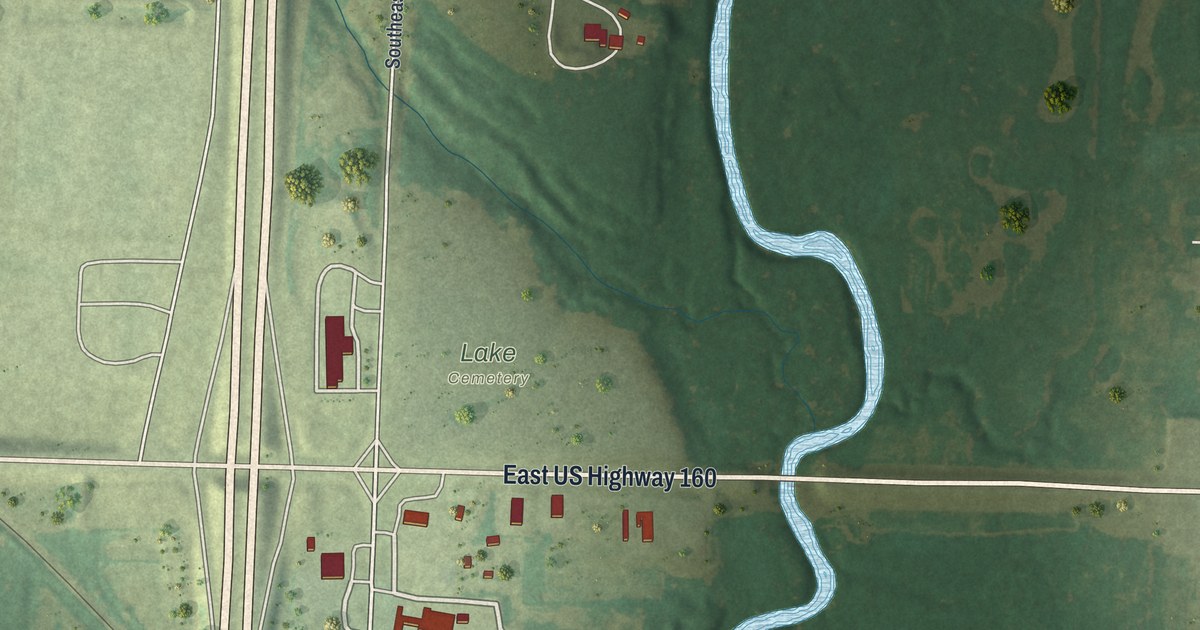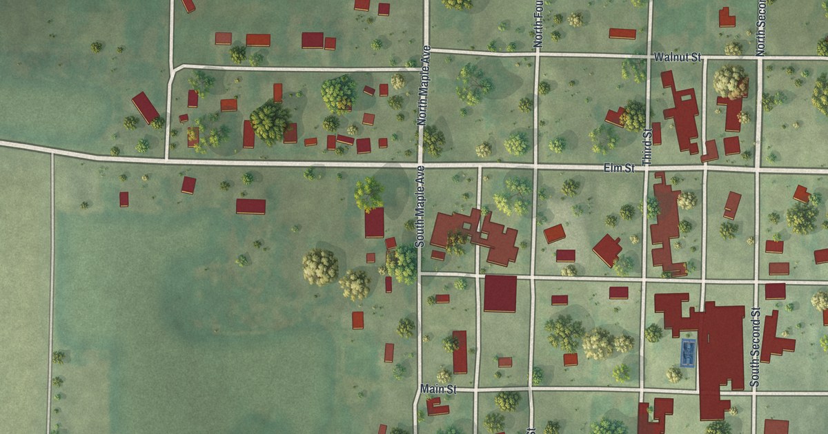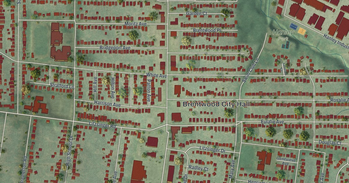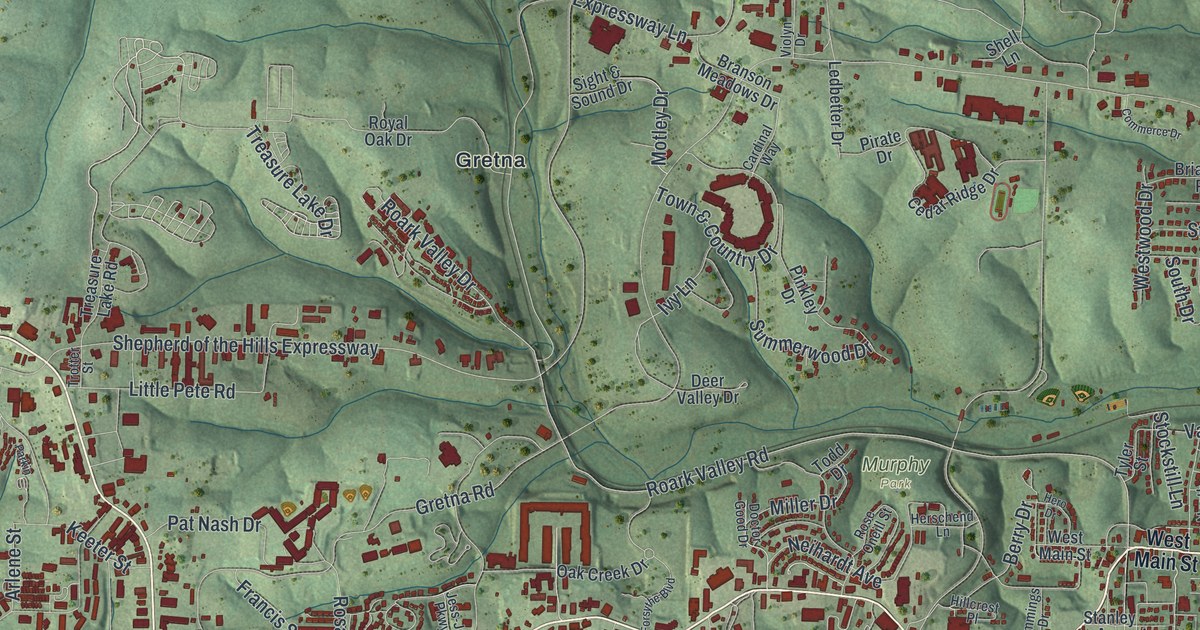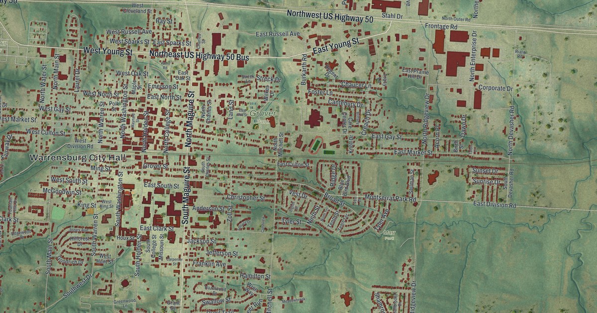
If you grew up in Warrensburg, or you still have family near the old courthouse square, this map is a piece of home. It's a modern aerial view of Warrensburg, the seat of Johnson County, Missouri, made from modern data and given a vintage look. Green hills and creeks wrap around the town. Blue lakes sit to the southwest. Thousands of small red shapes fill the streets, from the blocks near Warrensburg City Hall out to the homes past Northwest US Highway 50.
Warren Street and the man Warrensburg is named for
On this map you'll find North Holden Street, South Maguire Street, North Warren Street, South Warren Street, West Pine Street, Grover Street, West Gay Street, East Market Street, Warrensburg City Hall, Grover Park, Cave Hollow Park, Lion's Lake/Culp Park, Sunset Hill Cemetery, and more. Each red shape is a building, so zoom in on the preview and look for yours.
Warrensburg is named for a real man. Martin Warren came from Kentucky to Johnson County in 1833. The town was laid out three years later, in 1836. It became the county seat, and it took his name. That account comes from the place names files of the State Historical Society of Missouri.
You can still find his name on the map. North Warren Street and South Warren Street are both printed on it. At 201 South Warren Street stands the Warren Street Methodist Episcopal Church. It was added to the National Register in 1996.
Old homes on Grover Street and West Pine Street
Other old buildings nearby are on the National Register too. Magnolia Mills is at 200 West Pine Street. The Grover Street Victorian Historic District was added to the National Register in 2012. On the preview, find Grover Street and West Pine Street, and you'll be close to both.
A Warrensburg map from Grover Park to Highway 50
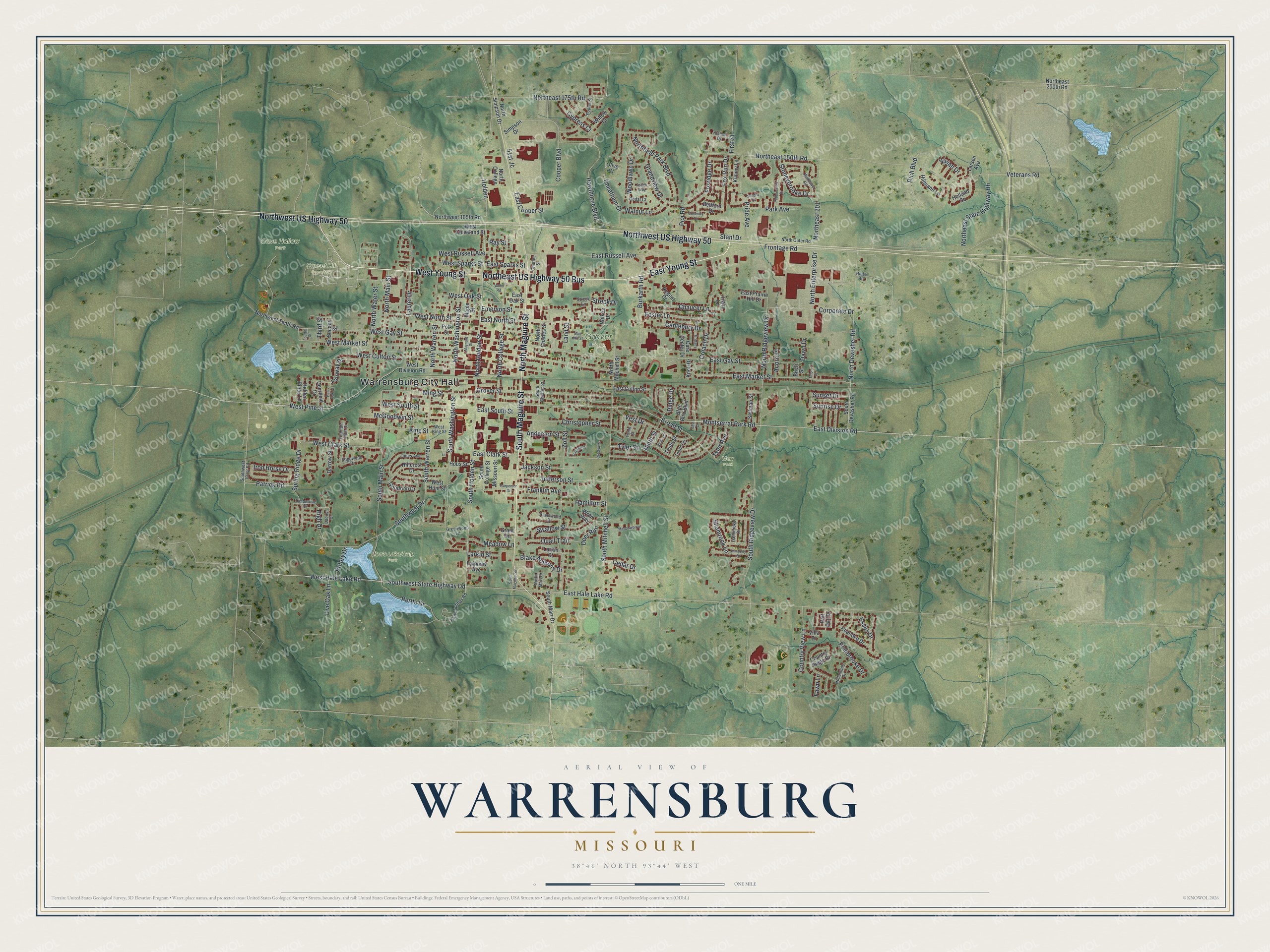
Created by KNOWOL in 2026, this print shows Warrensburg in soft greens with raised hills, blue water and red buildings. The title panel reads "Aerial View of Warrensburg, Missouri" with the coordinates 38°46' North 93°44' West.
It fits a living room, a home office or a hallway by the front door. It's a good gift for someone who moved away from Warrensburg, or for anyone who knows Grover Park. Open the preview and find your street. See sizes and frames for the Warrensburg map.