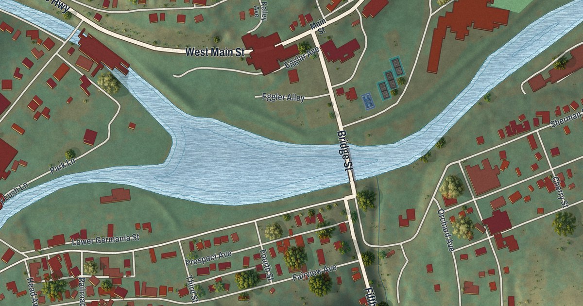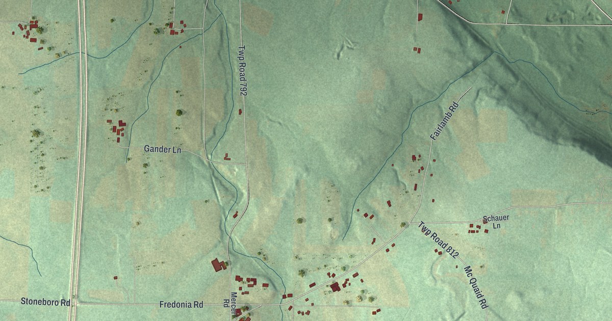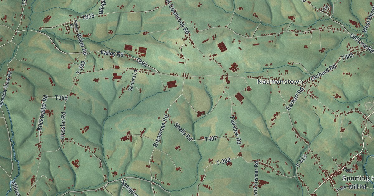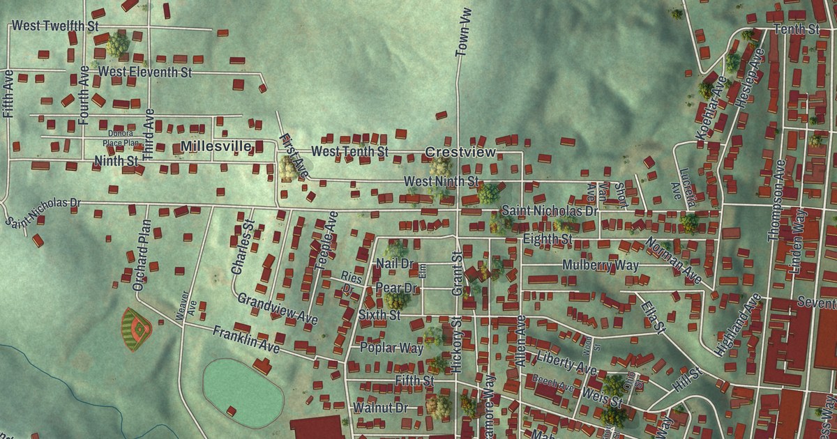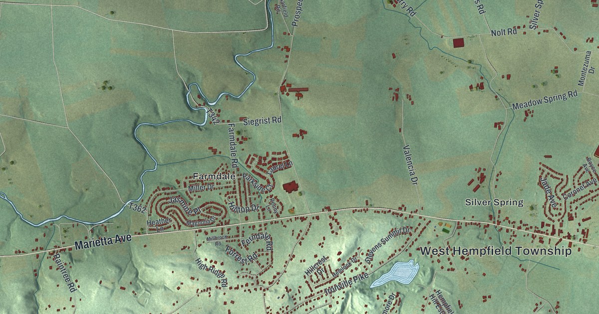
If you grew up on Chestnut Hill, or you still drive Marietta Avenue past Silver Spring, this map is for you. It's a modern aerial view of West Hempfield Township in Lancaster County, Pennsylvania, made from modern data and given a vintage artistic feel. A long ridge runs through the middle in light green, with Ironville and Chestnut Hill printed along it. A wide blue river fills the lower left corner. A winding creek curls down the left side.
Marietta Avenue, Silver Spring and Spooky Nook Road on the map
On this map you'll find Marietta Avenue, Columbia Avenue, Old Harrisburg Pike, Ironville Pike, Chestnut Hill, Ironville, Silver Spring, Farmdale, Kinderhook, Klinesville, Cordelia, Stony Battery Road, Hempland Road, Chickies Hill Road, Spooky Nook Road, and more. Each red shape is a building, so zoom in on the preview and look for yours.
How Chestnut Hill became Hempfield Manor
That ridge has a long story. The 1883 History of Lancaster County says Chikis Hill and Chestnut Hill form one long range of hills. It starts at Chikis Rock and runs east across the township. The land was surveyed for John, Thomas and Richard Penn. They named it Hempfield Manor, and it held 2,816 acres. Thick chestnut and oak trees covered the hills. After the Revolutionary War, the Penn heirs split it into about sixty tracts and sold them. Many valley farmers bought small pieces just for the wood. They cut the trees into fence rails for their fields.
Ironville and the iron ore of Chestnut Hill
Iron came next. The same book says Samuel Blunston, one of Penn's surveyors, wrote about iron here in 1737. In his letter he called it the Iron Hill. Ironville started about thirty years before the book was written. Levi K. Myers opened a store, and a few houses slowly grew into a village. A huge bank of iron ore sat on its east side. The village rose and fell with the iron business. When the furnace went cold, families began to grow tobacco, and it gave them a good living. By 1883, Ironville had a store, three taverns, a church, a large brick schoolhouse and about 200 people. Today you can find Ironville and Ironville Pike right on top of the ridge.
Keep Chestnut Hill and Silver Spring Close
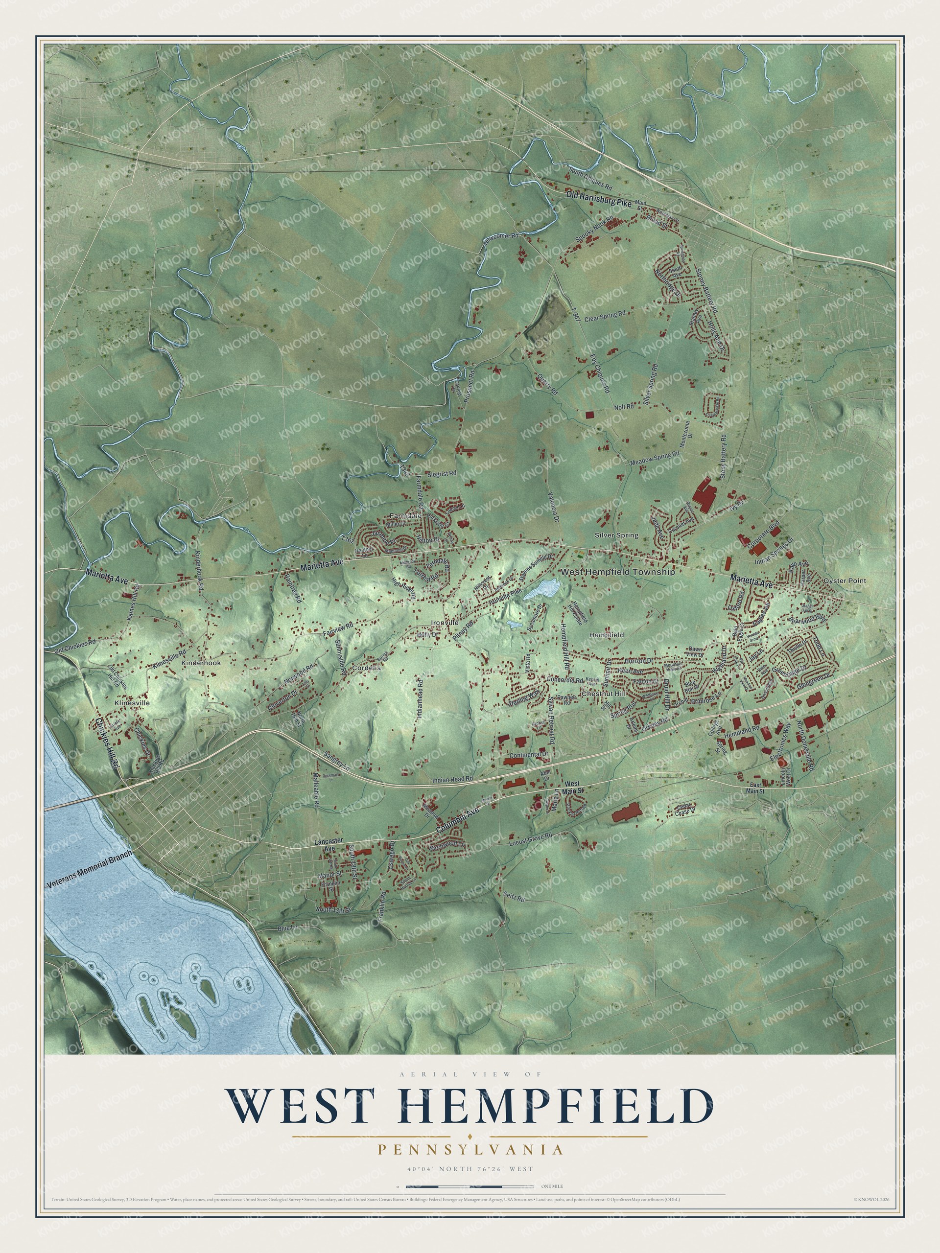
Created by KNOWOL in 2026, this print shows West Hempfield in soft greens, with shaded hills, blue water and buildings in deep red. The title panel reads AERIAL VIEW OF WEST HEMPFIELD, PENNSYLVANIA, with the coordinates 40°04' NORTH 76°26' WEST.
It fits a living room, a home office or the hallway by the front door. It's a thoughtful gift for someone who grew up near Ironville or Silver Spring, or who moved away and misses the drive along Marietta Avenue. Open the preview and find your road. See sizes and frames for the West Hempfield map.