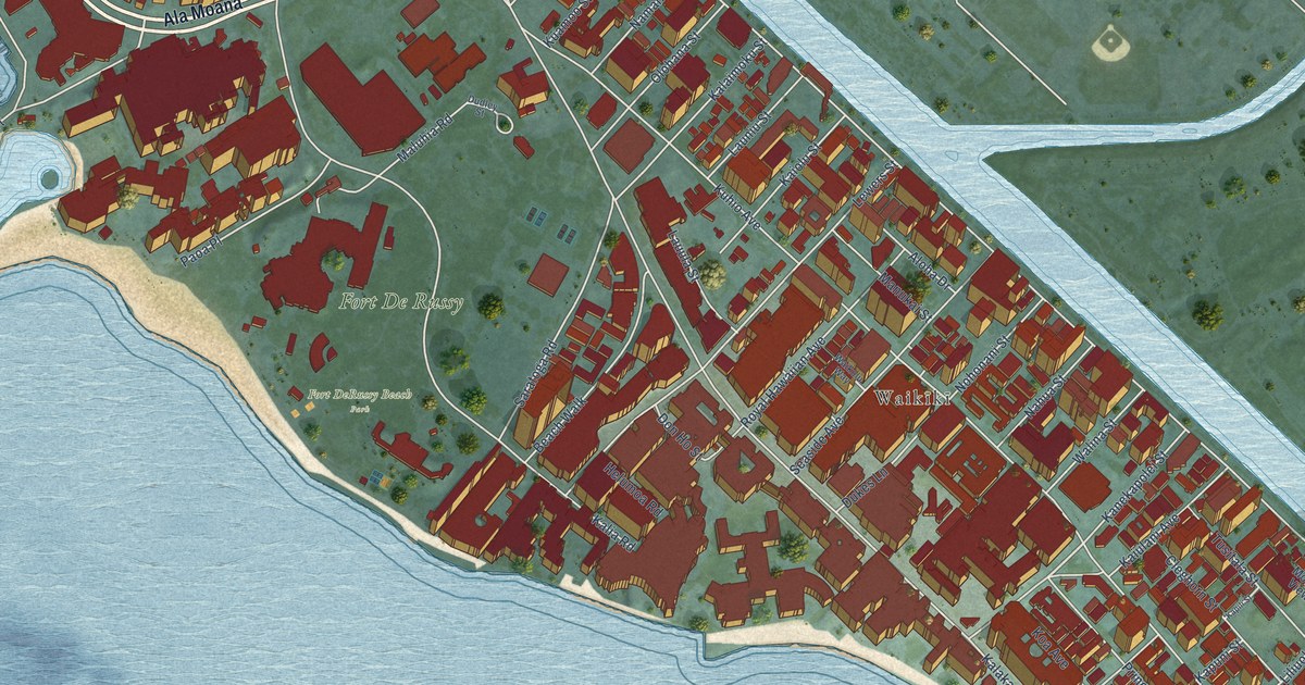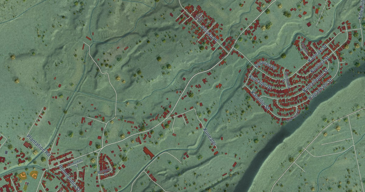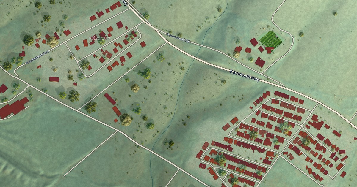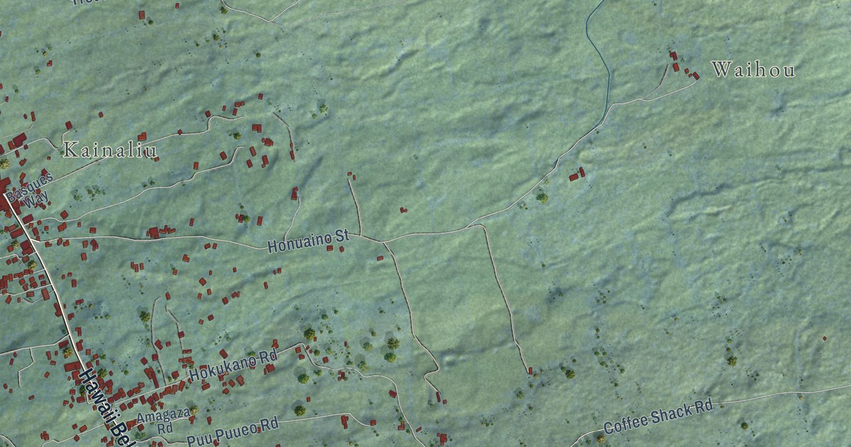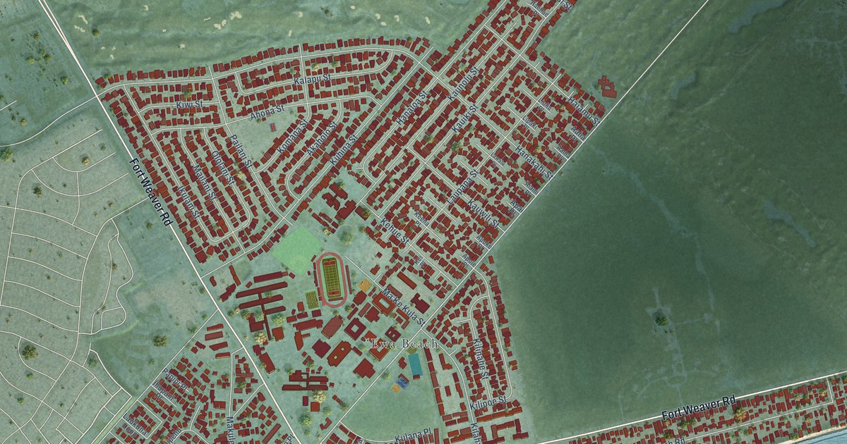
This beautifully detailed map of Ewa Beach, Hawaii was created in 2026 using aerial imagery combined with modern topographical, census, street and landmark data. It’s a one-of-a-kind view of Ewa Beach that combines accurate data with a vintage aesthetic. The map shows every building in its true location, many of the roads carry their names, and the shaded topographic relief shows the shape of the land.
Explore an aerial view of Ewa Beach, Hawaii
On the map you’ll find One’ula Place, along with Fort Weaver Road, North Road, Aikanaka Road, Hanakahi Street, Papipi Road, Pohakupuna Road, Hanaloa Street, Kauiki Street, Ewa Beach Road, Kuhina Street, and more. If you look closely you can even find your house accurately drawn in its correct location. Zoom in on the preview to look for yours.
Did you know this about Ewa Beach, Hawaii?
From Historichawaii.org: "Spanning 11 miles from ‘Aiea to ‘Ewa Beach, the bikeway connects the Pearl Harbor Historic Trail with the West Loch Community Shoreline Path, offering a safe, sustainable, and ADA-compliant route for non-motorized travel."
Take a closer look at the Ewa Beach map
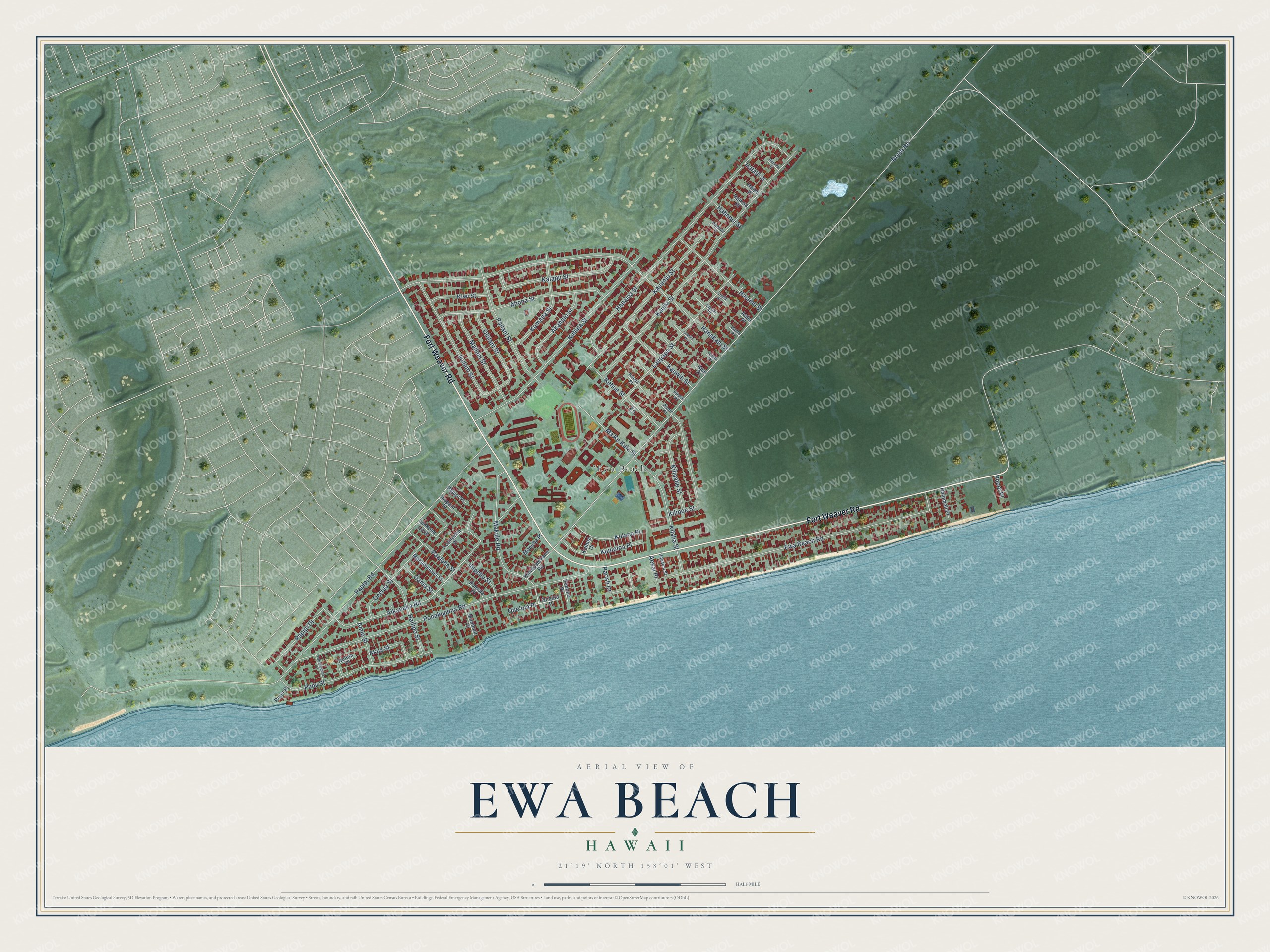
Street and place names on the Ewa Beach, Hawaii map
These names are printed on the map of Ewa Beach, Hawaii.
Places: ʻEwa Beach.
Streets and roads: Fort Weaver Road, One'ula Place, North Road, Aikanaka Road, Hanakahi Street, Papipi Road, Pohakupuna Road, Hanaloa Street, Kauiki Street, Ewa Beach Road, Kuhina Street, Kaunolu Street.
More street names, A to Z
Aaha Place, Aama Place, Aekai Place, Ahona Street, Aiami Place, Akaholo Street, Akua Street, Amio Street, Apai Place, Apoke Place, Apole Place, Haehae Place, Hahanui Street, Haiamu Street, Hailipo Street, Hainoa Place, Haipu Place, Halalii Street, Hamiha Place, Hapalua Street, Huleia Place, Ihipehu Street, Ihupani Place, Ikulani Street, Kalapu Street, Kauwili Street, Keena Place, Kehue Street, Kei Place, Kilaha Street, Kilinahe Street, Kilipoe Street, Kimopelekane Road, Kiwi Street, Koalipehu Street, Komana Street, Kuilioloa Place, Kulana Court, Kulana Place, Laukona Loop, Laupapa Street, Lawalu Place, Lipaki Place, Liuliu Place, Mailani Street, Makaonaona Street, Ma Ke Kula Street, Makule Road, Moneha Place, Muumuu Place, Nalomeli Place, Oama Street, Ololani Street, Onelua Street, Oneula Place, Paaloha Street, Pailani Street, Papipi Drive, Papipi Place, Parish Drive, Peeone Place, Pohakupuna Place, Poloula Place, Popoi Place, Pupu Place, Pupu Street.
See the Ewa Beach, Hawaii map on a wall
The Ewa Beach map as an 18 x 24 inch print in a black frame.

This beautifully detailed map of Ewa Beach makes an attractive addition to your office, library, or den, and it can even be used to teach children the geography and history of the area. It also makes a great gift for someone who left Ewa Beach and still calls it home. When you’re done exploring, click here to get your copy of the Ewa Beach map.