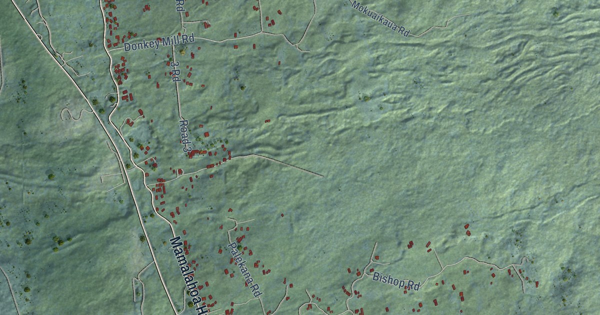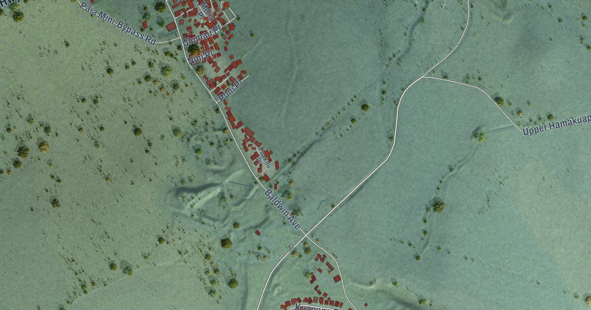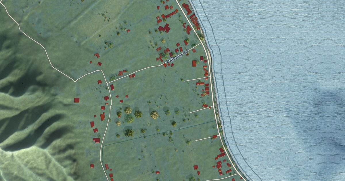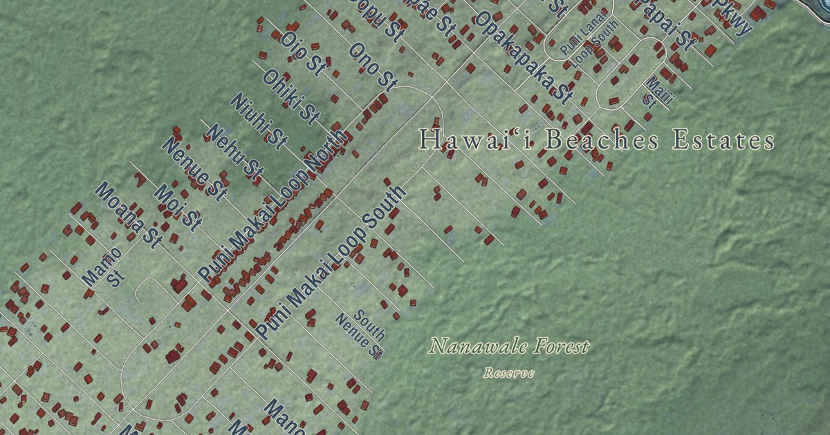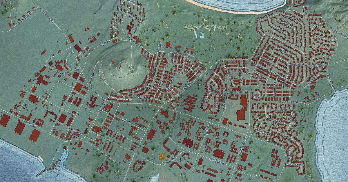
This beautifully detailed map of Kaneohe Base, Hawaii was created in 2026 using aerial imagery combined with modern topographical, census, street and landmark data. It’s a one-of-a-kind view of Kaneohe Base that combines accurate data with a vintage aesthetic. The map shows every building in its true location, many of the roads carry their names, and the shaded topographic relief shows the shape of the land.
Explore an aerial view of Kaneohe Base, Hawaii
On the map you’ll find Klipper Golf Course, along with Reeves Road, Nimitz Road, Radar Road, Reed Road, Manning Street, Harris Avenue, First Street, East Street, Lawrence Road, Fourth Street, Daly Road, and more. If you look closely you can even find your house accurately drawn in its correct location. Zoom in on the preview to look for yours.
Did you know this about Kaneohe Base, Hawaii?
From Historichawaii.org: "The NAS Kāne‘ohe Bay Aviation District includes 55 buildings and structures and the historic portion of the present runway."
Take a closer look at the Kaneohe Base map
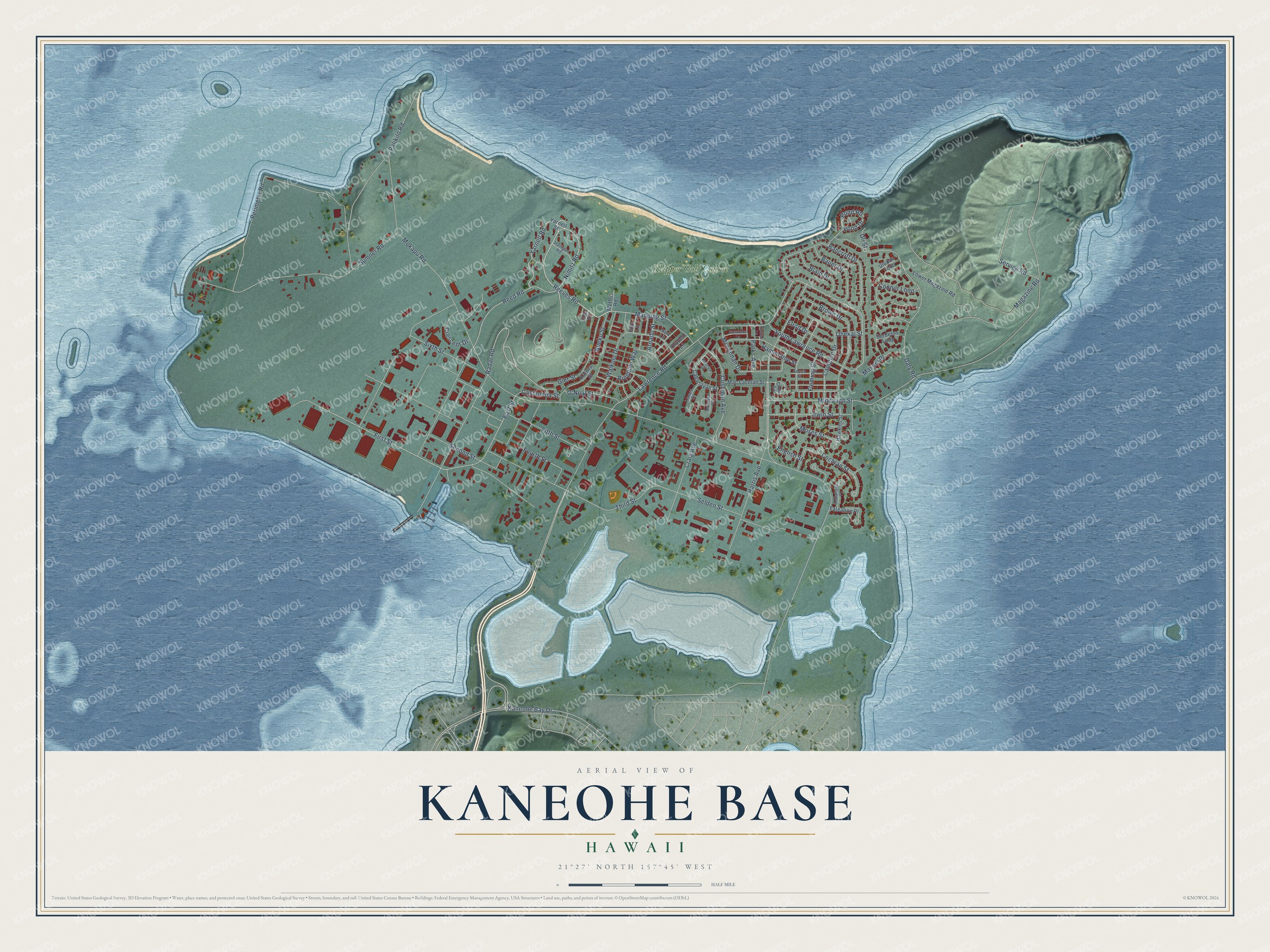
Street and place names on the Kaneohe Base, Hawaii map
These names are printed on the map of Kaneohe Base, Hawaii.
Places: Klipper Golf Course.
Streets and roads: Reeves Road, Nimitz Road, Radar Road, Reed Road, Manning Street, Harris Avenue, First Street, East Street, Lawrence Road, Fourth Street, Daly Road, Kaneohe Bay Drive.
More street names, A to Z
Anena Street, Arnado Street, Bancroft Drive, Bauer Drive, Bingham Way, Blain Drive, Bordelon Loop, Brown Drive, Cabanayan Street, Campion Drive, Castaneda Street, Chow Circle, Cochran Street, Connor Loop, Craig Avenue, Crescent Drive, Cushman Avenue, Dryden Lane, Elrod Drive, English Street, Faleafine Place, Fifth Street, Fleming Street, Gier Street, Halligan Road, Hamehame Street, Hawkins Street, Iopa Lane, Irwin Street, Kaawa Street, Kahakaha Lane, Kekahuna Place, Kinikini Lane, Llanes Court, Lower Magazine Road, Mac Lachlan Street, Magazine Road, Malabey Court, Maxam Place, McLennan Drive, Middaugh Street, Moffett Road, Mokapu Road, Moses Street, Nueku Street, O'Neal Street, Ohekai Street, Palikilo Road, Parks Avenue, Pascua Court, Perimeter Road, Pond Drive, Pond Road, Puhi Lane, Second Street, Selden Street, Service Road, Sixth Street, South Lawrence Road, Sumner Road, Third Street, Toma Drive, Uli Street, Ulupau Loop, Waikulu Drive, Yarnell Road, Yarnell Street.
See the Kaneohe Base, Hawaii map on a wall
The Kaneohe Base map as an 18 x 24 inch print in a black frame.

This beautifully detailed map of Kaneohe Base makes an attractive addition to your office, library, or den, and it can even be used to teach children the geography and history of the area. It also makes a great gift for someone who left Kaneohe Base and still calls it home. When you’re done exploring, click here to get your copy of the Kaneohe Base map.