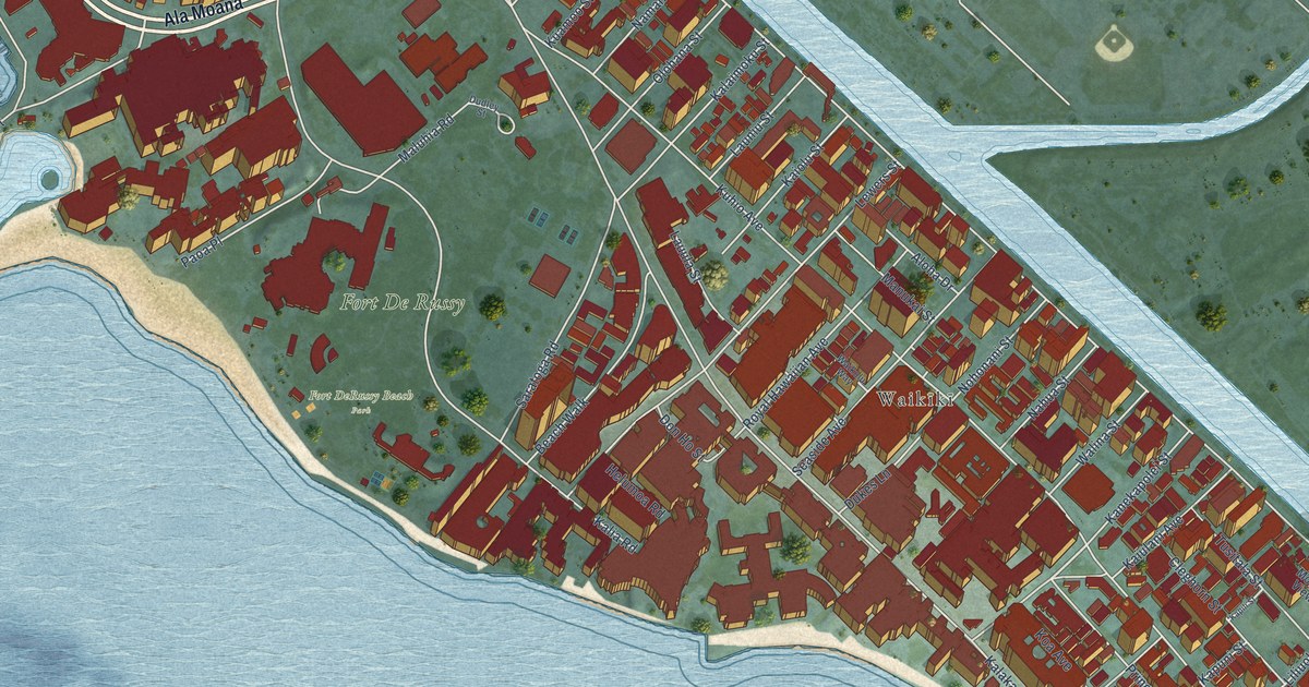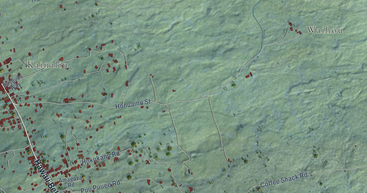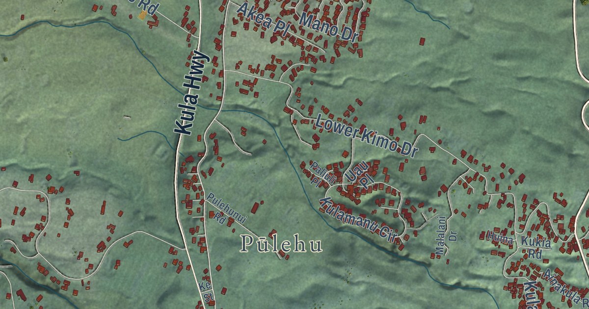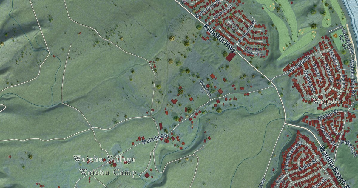
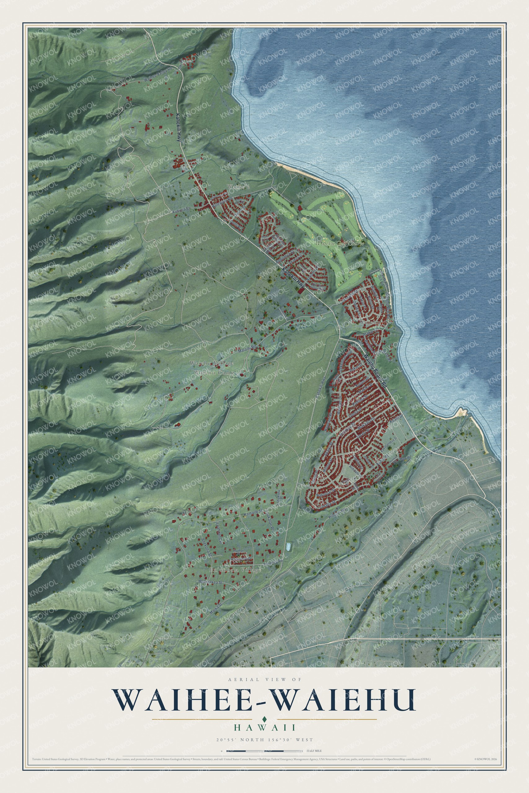
This beautifully detailed map of Waihee-Waiehu, Hawaii was created in 2026 using aerial imagery combined with modern topographical, census, street and landmark data. It’s a one-of-a-kind view of Waihee-Waiehu that combines accurate data with a vintage aesthetic. The map shows every building in its true location, many of the roads carry their names, and the shaded topographic relief shows the shape of the land.
Explore an aerial view of Waihee-Waiehu, Hawaii
On the map you’ll find Puʻuohala Village, Waiheʻe, Waiehu Camp, Waiehu, Waiehu Village, and Waiehu Golf Course, along with Waiehu Beach Road, Kahekili Highway, Hiahia Street, Kilou Street, Onaha Street, Maika Street, and more. If you look closely you can even find your house accurately drawn in its correct location. Zoom in on the preview to look for yours.
Did you know this piece of Waihee-Waiehu, Hawaii history?
From Imagesofoldhawaii.com: "In about 1830 Green built a thatch and pole meeting house that formed the beginnings of Waihe‘e Church outside of Wailuku. The church was founded as a mission station of the mother church in Wailuku."
Take a closer look at the Waihee-Waiehu map
Street and place names on the Waihee-Waiehu, Hawaii map
These names are printed on the map of Waihee-Waiehu, Hawaii.
Places: Puʻuohala Village, Waiheʻe, Waiehu Camp, Waiehu, Waiehu Village and Waiehu Golf Course.
Streets and roads: Waiehu Beach Road, Kahekili Highway, Hiahia Street, Kilou Street, Onaha Street, Maika Street, Malaihi Road, Kamaile Street, Makaala Drive, Kuhio Place, Waiehu Bch Road, Hoomau Street.
More street names, A to Z
Akaiki Place, Akakuu Street, Akulikuli Way, Alakai Street, Alihilani Street, Anekona Street, Aukai Place, Aukai Street, Halewaiu Road, Haunani Place, Hea Place, Hewahewa Drive, Hiahia Place, Hilinai Street, Hoalu Place, Hoauna Street, Hoola Hou Street, Ihumai Place, Kakae Place, Kaulana Na Pua Circle, Kawananakoa Street, Kealii Drive, Keonaona Lane, Ke One Loa Way, Kohomua Street, Kohukohu Place, Kolani Place, Kualoa Place, Kuhinia Street, Kuu One Hanau Way, Laelae Street, Lekeona Loop, Limu Kala Street, Lower Waiehu Bch Road, Luahoana Place, Luakalae Place, Mahinakea Street, Makiki Street, Mauli Ola Street, Nakuluai Street, Nawaieha Place, Oki Place, Olena Street, Omilu Street, Opihi Place, Owaka Street, Pakele Place, Paloma Street, Papali Lane, Piihana Road, Pohala Street, Pohu Street, Puuloa Street, Puuohala Road, South Kikania Place, Upalu Street, Waihee Valley Road, Wailupe Drive, Wilipohaku Road.
See the Waihee-Waiehu, Hawaii map on a wall
The Waihee-Waiehu map as an 18 x 24 inch print in a black frame.

This beautifully detailed map of Waihee-Waiehu makes an attractive addition to your office, library, or den, and it can even be used to teach children the geography and history of the area. It also makes a great gift for anyone with Waihee-Waiehu roots. When you’re done exploring, click here to get your copy of the Waihee-Waiehu map.