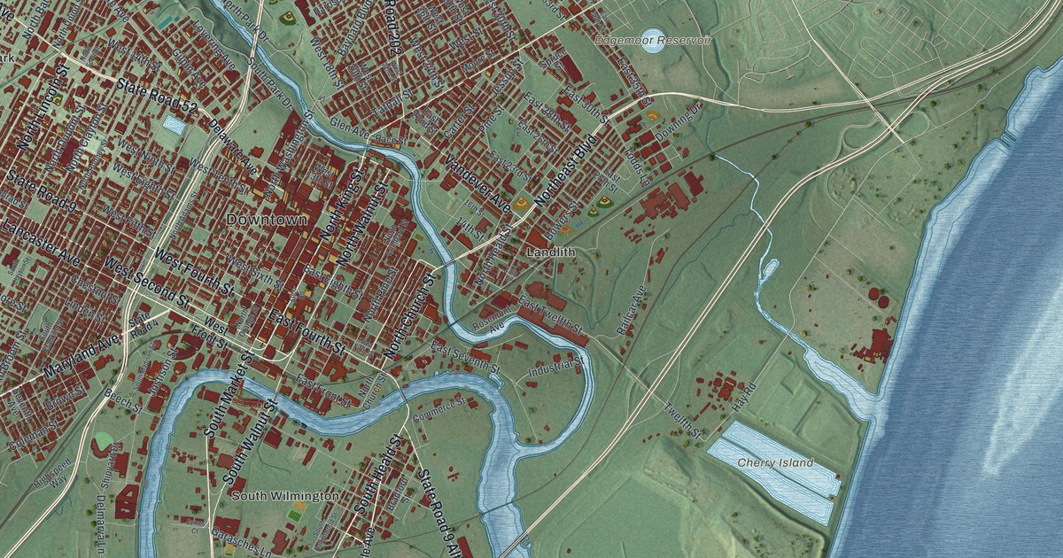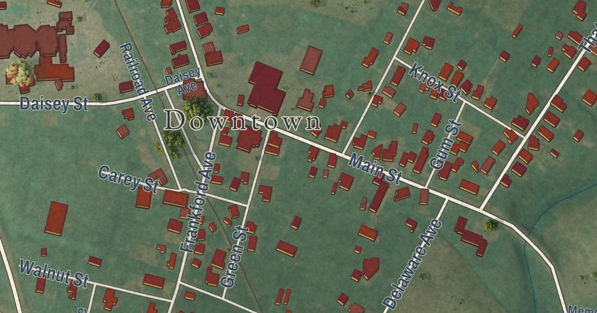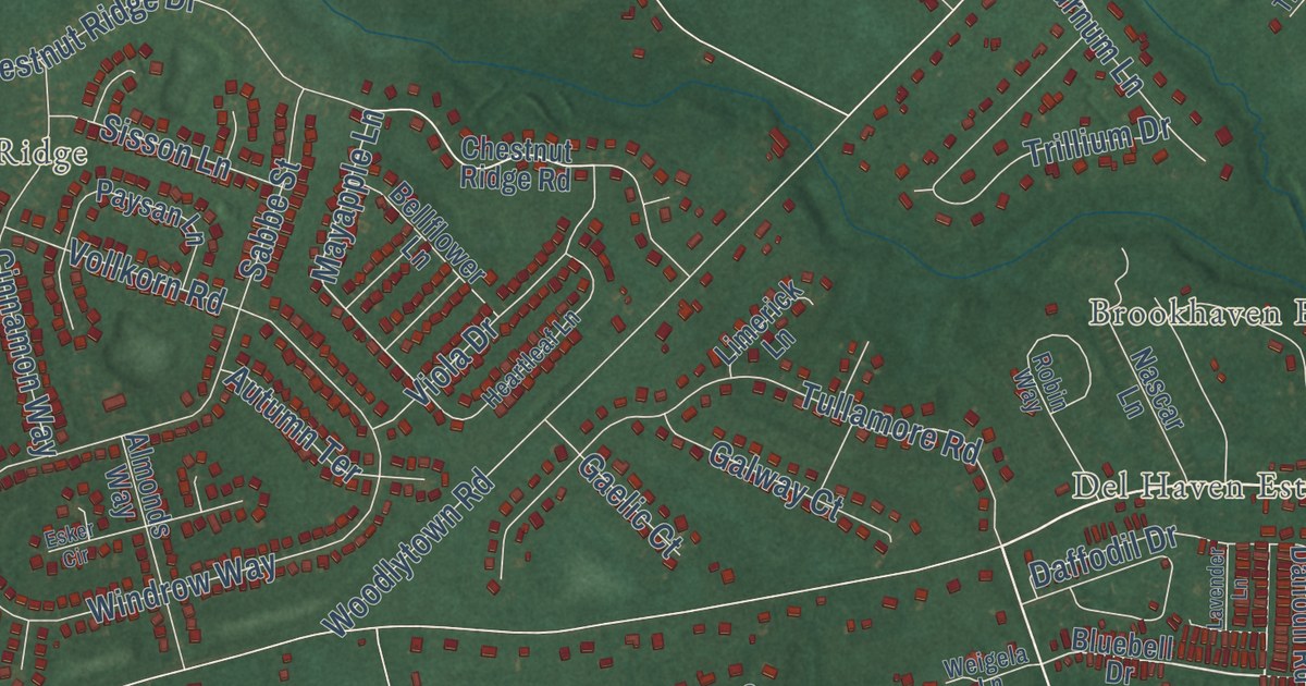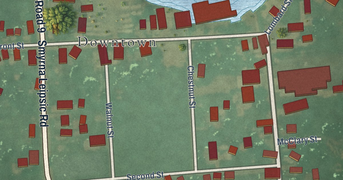
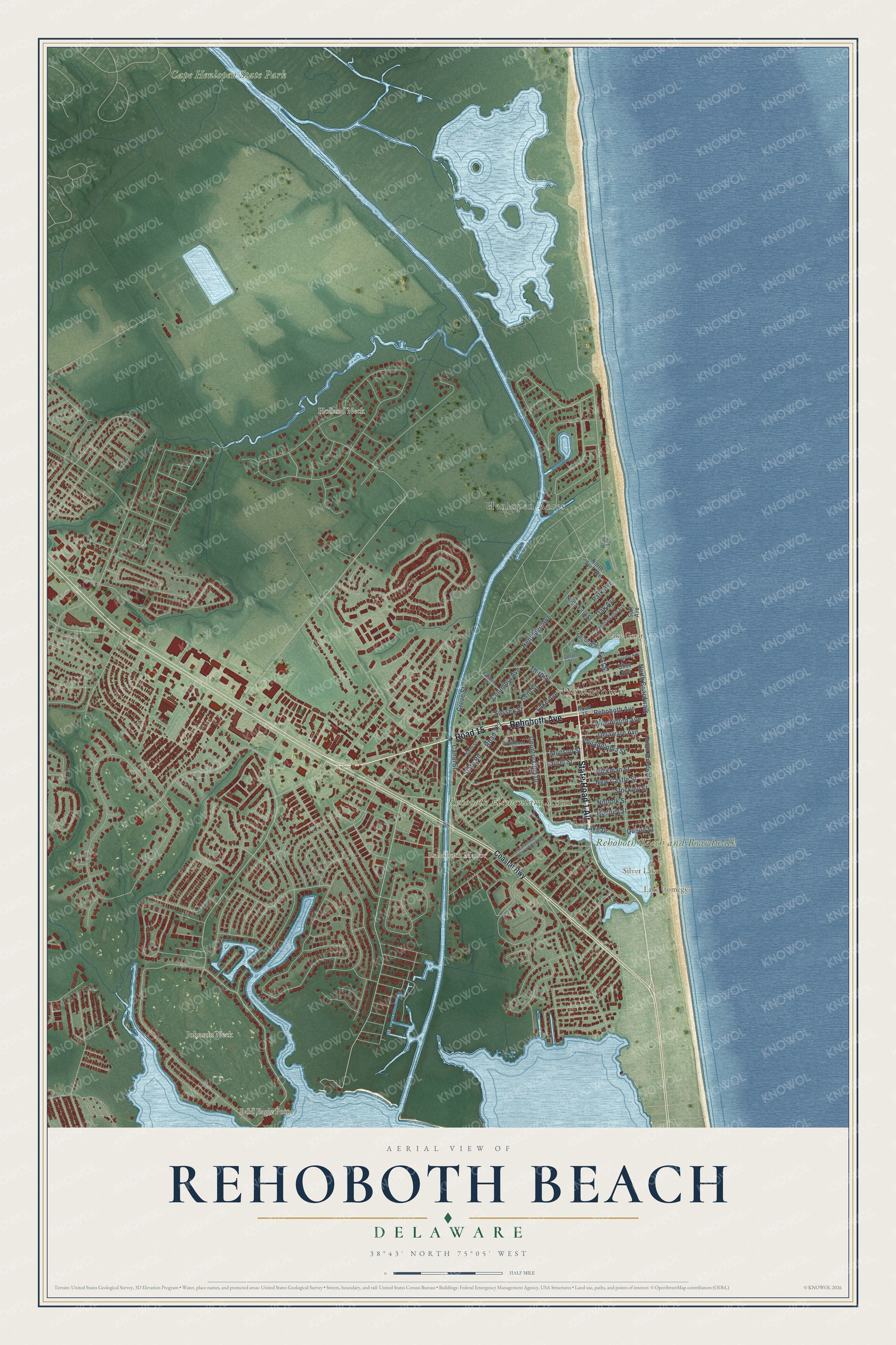
This beautifully detailed map of Rehoboth Beach, Delaware was created in 2026 using aerial imagery combined with modern topographical, census, street and landmark data. It’s a one-of-a-kind view of Rehoboth Beach that combines accurate data with a vintage aesthetic. The map shows every building in its true location, many of the roads carry their names, and the shaded topographic relief shows the shape of the land.
Explore an aerial view of Rehoboth Beach, Delaware
On the map you’ll find Downtown, Lake Gerar, Rehoboth Beach and Boardwalk, Silver Lake, Rehoboth Elementary School, Central Park, Grove Park, Henlopen Acres, Rehoboth Manor, Silver Lake Manor, and Spring Lake, along with Bayard Avenue, and more. If you look closely you can even find your house accurately drawn in its correct location. Zoom in on the preview to look for yours.
Did you know this piece of Rehoboth Beach, Delaware history?
Rehoboth Beach began in 1873 as a Methodist camp meeting ground. Its founder was Robert Todd, a Methodist minister from Wilmington. He modeled it on church resorts along the New Jersey shore. The word Rehoboth is Hebrew for broad spaces.
Take a closer look at the Rehoboth Beach map
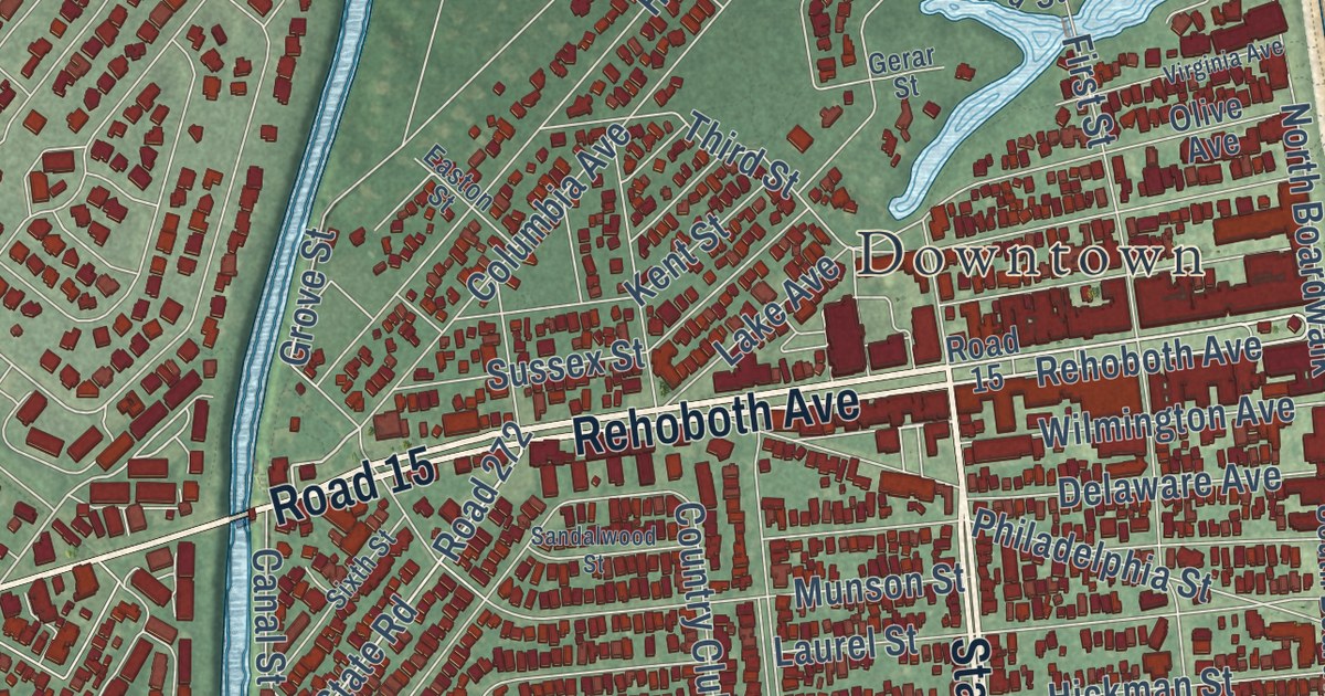
Street and place names on the Rehoboth Beach, Delaware map
These names are printed on the map of Rehoboth Beach, Delaware.
Places: Downtown, Lake Comegys, Henlopen Acres, Bald Eagle Point, Cape Henlopen State Park, Lake Gerar, Holland Neck, Rehoboth Beach and Boardwalk, Silver Lake, Johnson Neck, Rehoboth Elementary School and Rehoboth Manor.
Streets and roads: State Road 1 Alt, Rehoboth Avenue, Road 15, State Road, Henlopen Avenue, Columbia Avenue, Stockley Street, Hickman Street, Laurel Street, Country Club Drive, New Castle Street, North Boardwalk.
More street names, A to Z
Canal Street, Coastal Highway, Delaware Avenue, Easton Street, First Street, Gerar Street, Grove Street, Kent Street, Lake Avenue, Lake Drive, Munson Street, Norfolk Street, North First Street, North Surf Avenue, Oak Avenue, Olive Avenue, Park Avenue, Pennsylvania Avenue, Philadelphia Street, Queen Street, Road 272, Road 300, Rodney Street, Sandalwood Street, Scarborough Avenue Extended, Second Street, Sixth Street, South Boardwalk, Surf Avenue, Sussex Street, Third Street, Virginia Avenue, Wilmington Avenue.
See the Rehoboth Beach, Delaware map on a wall
The Rehoboth Beach map as an 18 x 24 inch print in a black frame.

This beautifully detailed map of Rehoboth Beach makes an attractive addition to your office, library, or den, and it can even be used to teach children the geography and history of the area. It also makes a great gift for anyone with Rehoboth Beach roots. When you’re done exploring, click here to get your copy of the Rehoboth Beach map.