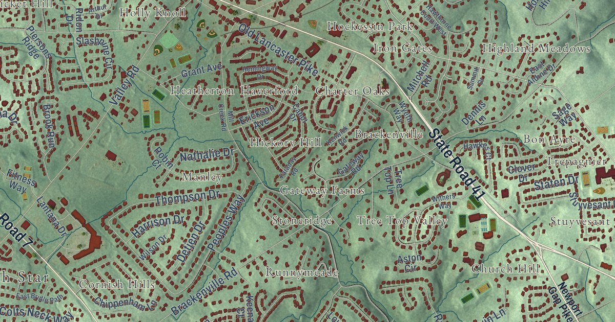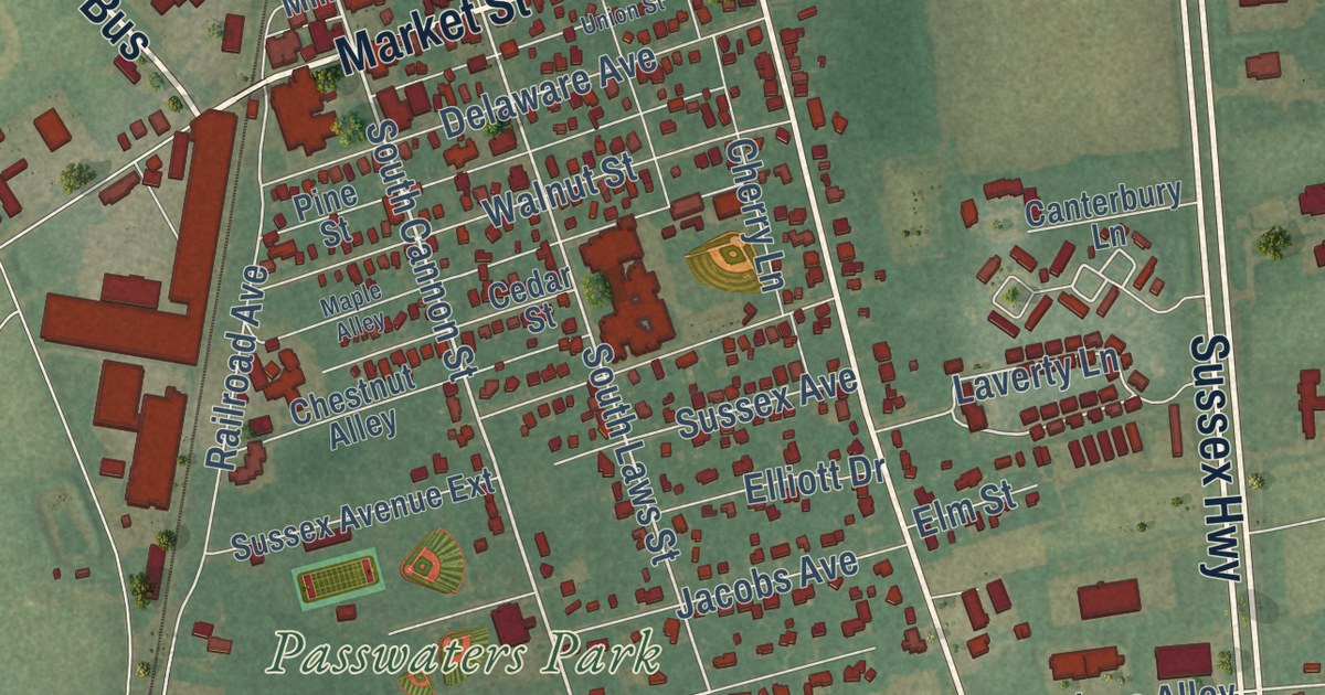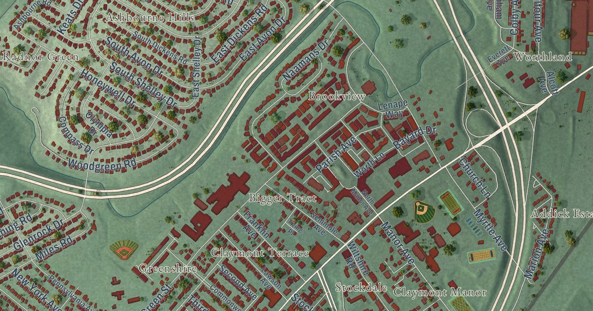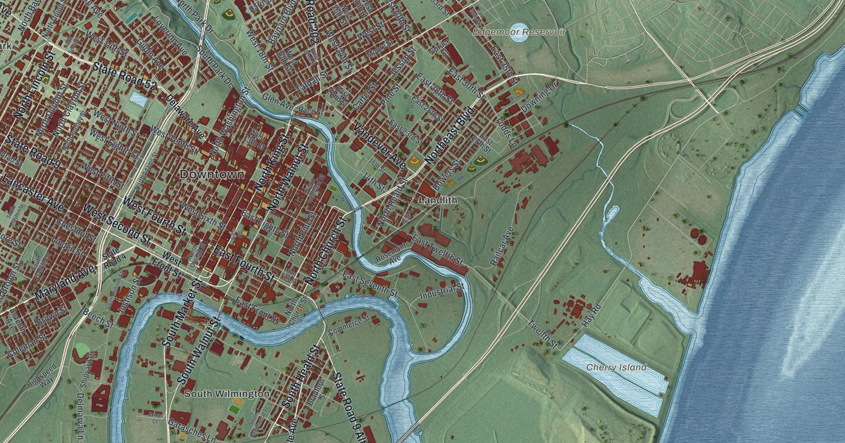
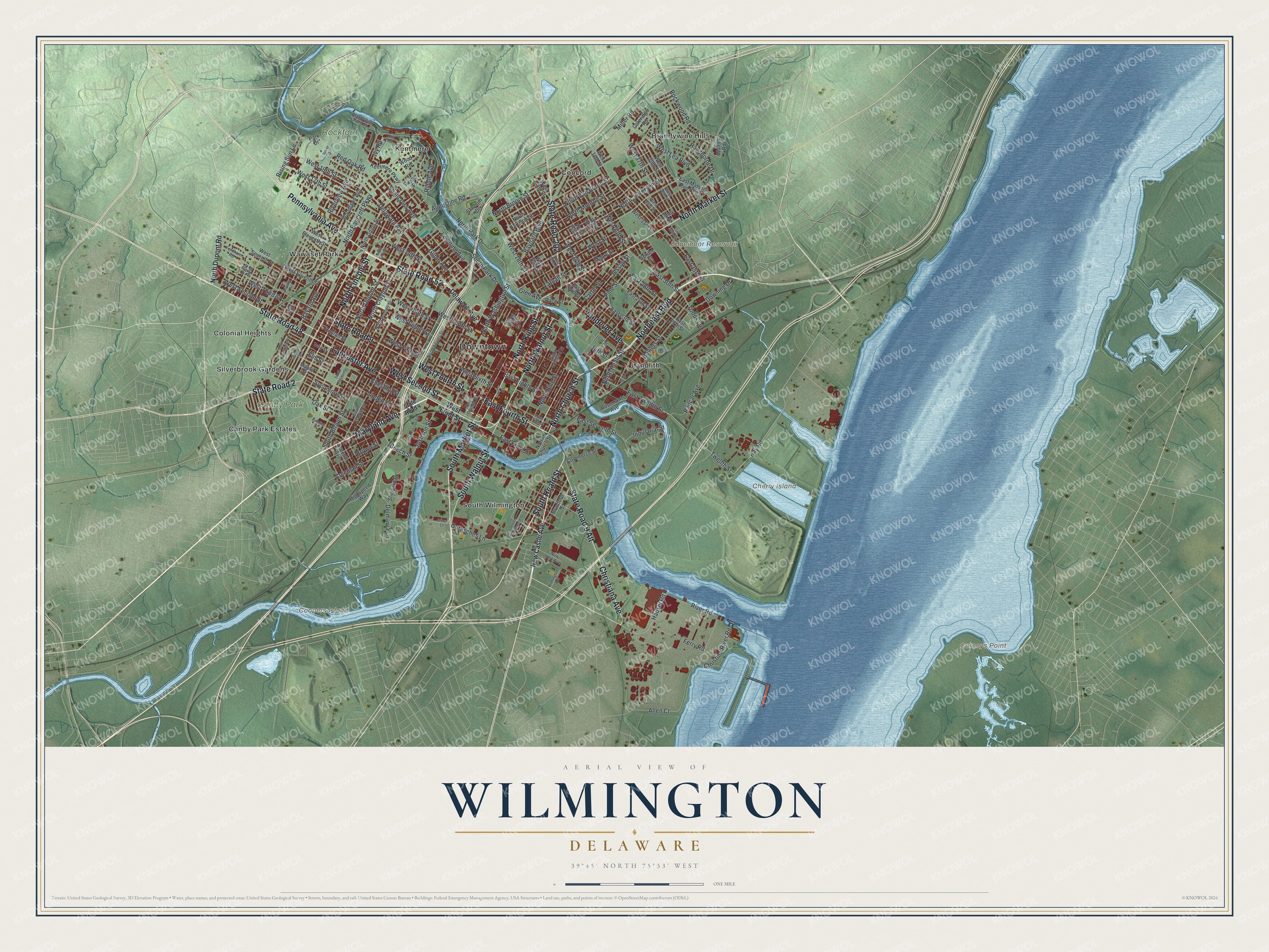
This beautifully detailed map of Wilmington, Delaware was created in 2026 using aerial imagery combined with modern topographical, census, street and landmark data. It’s a one-of-a-kind view of Wilmington that combines accurate data with a vintage aesthetic. The map shows every building in its true location, many of the roads carry their names, and the shaded topographic relief shows the shape of the land.
Explore an aerial view of Wilmington, Delaware
On the map you’ll find Downtown, Cherry Island, Edgemoor Reservoir, Carneys Point, Coopers Island, Canby Park, Rockford Park, Brandywine Hills, Canby Park Estates, Colonial Heights, Concord, Kentmere, and more. If you look closely you can even find your house accurately drawn in its correct location. Zoom in on the preview to look for yours.
Did you know this piece of Wilmington, Delaware history?
From the Delaware Public Archives: "NC-82: Founded in 1867 by the Association for the Moral Improvement and Education of Colored People and named for Civil War General Oliver Otis Howard, the original school was located at 12th and Orange Streets."
Take a closer look at the Wilmington map
Street and place names on the Wilmington, Delaware map
These names are printed on the map of Wilmington, Delaware.
Places: Downtown, Cherry Island, Edgemoor Reservoir, Carneys Point, Coopers Island, Canby Park, Rockford Park, Brandywine Hills, Canby Park Estates, Colonial Heights, Concord, Kentmere, Landlith, Silverbrook Gardens, South Wilmington and Wawaset Park.
Streets and roads: State Road 48, State Road 52, Pennsylvania Avenue, Northeast Boulevard, Lancaster Avenue, North Market Street, West Second Street, Christiana Avenue, South Market Street, South Heald Street, North Church Street, State Road 9.
More street names, A to Z
13th Street, 14th Street, 16th Street, Alico Road, Allen Court, Augustine Road, Banning Street, Bayard Avenue, Baynard Boulevard, Beech Street, Bowers Street, Bradford Street, Brandywine Falls Road, Brown Street, Carter Street, Chestnut Street, Christina River Road, Coleman Street, Coleridge Road, Commerce Street, Conrad Street, Delaware Avenue, Delmarva Lane, Downing Drive, East 22nd Street, East 23rd Street, East 26th Street, East 27th Street, East 28th Street, East 30th Street, East 35th Street, East 36th Street, East Eighth Street, East Fifth Street, East Fourth Street, East Front Street, East Matson Run Parkway, East Seventh Street, East Twelfth Street, Elm Street, Ferry Road, Fordham Road, Foster Place, Garasches Lane, Geddes Street, Gilpin Avenue, Glen Avenue, Hausel Road, Hawley Street, Hawthorne Drive, Hay Road, Highspeed Way, Hill Road, Industrial Street, Ivy Road, James Court, Jessup Street, Justison Street, Kentmere Parkway, Linden Street, Lovering Avenue, Maple Street, Maryland Avenue, Miller Road, Moore Street, New Castle Avenue, New York Avenue, North Adams Street, North Bancroft Parkway, North Broom Street, North Clayton Street, North Dupont Road, North Dupont Street, North Harrison Street, North Heald Street, North Jefferson Street, North King Street, North Lincoln Street, North Lombard Street, North Monroe Street, North Orange Street, North Park Drive, North Pine Street, North Rodney Street, North Scott Street, North Union Street, North Van Buren Street, North Walnut Street, North Washington Street, Oak Street, Ogle Avenue, Park Drive, Pine Street, Pyle Street, Race Street, Railcar Avenue, Red Oak Road, Riddle Avenue, Rising Sun Lane, River Road, Riverview Avenue, Rockwood Road, Rosemont Avenue, Seventh Avenue, Shallcross Avenue, Shipley Street, Shipyard Drive, South Broom Street, South Buttonwood Street, South Clayton Street, South Franklin Street, South Madison Street, South Park Drive, South Sycamore Street, South Walnut Street, Spruce Street, Stadium Drive, State Road 2, State Road 4, State Road 9 Alt, State Road 202, Sycamore Street, Tatnall Street, Todds Lane, Tower Drive, Tulip Street, Twelfth Street, Vandever Avenue, Walton Road, West 13th Street, West 14th Street, West 17th Street, West 18th Street, West 19th Street, West 20th Street, West 22nd Street, West 24th Street, West 25th Street, West 26th Street, West 28th Street, West 30th Street, West 33rd Street, West 34th Street, West 36th Street, West 37th Street, West 38th Street, West 39th Street, West Eighth Street, West Eleventh Street, West Fifth Street, West Fourth Street, West Front Street, West Lea Boulevard, West Ninth Street, West Seventh Street, West Sixth Street, West Street, West Tenth Street, West Third Street, Wilmington Avenue, Woodlawn Avenue, Wood Road.
See the Wilmington, Delaware map on a wall
The Wilmington map as an 18 x 24 inch print in a black frame.

This beautifully detailed map of Wilmington makes an attractive addition to your office, library, or den, and it can even be used to teach children the geography and history of the area. It also makes a great gift for anyone who grew up in Wilmington or moved away. When you’re done exploring, click here to get your copy of the Wilmington map.