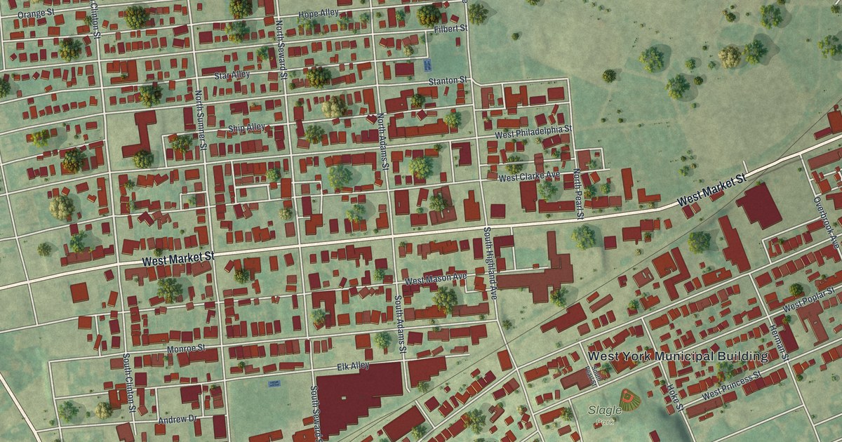
If you grew up in West York, look for your old block on this print. It's a modern aerial view of West York in York County, Pennsylvania, made with modern data and a vintage feel. Red buildings fill the street grid, with green land around them. West Market Street and Slagle Park give you familiar places to start.
West Market Street and the York Fair
On this map you'll find West Market Street, Slagle Park, West York Municipal Building, West King Street, West Philadelphia Street, West Princess Street, North Clinton Street, North Sumner Street, North Seward Street, Orange Street, Ship Alley, and more. Each red shape is a building, so zoom in on the preview and look for yours.
West Market Street also ties this view to the nearby York fair's history. The York Inter-State Fair marker on that road traces its start to a 1765 charter from the Penns. It calls the fair America's oldest agricultural fair. The fair stopped after 1815, then returned in 1853. Its present grounds, outside West York borough, have been used since 1888. On the print, you can pick out West Market Street among the rows of red buildings.
Keep West York close
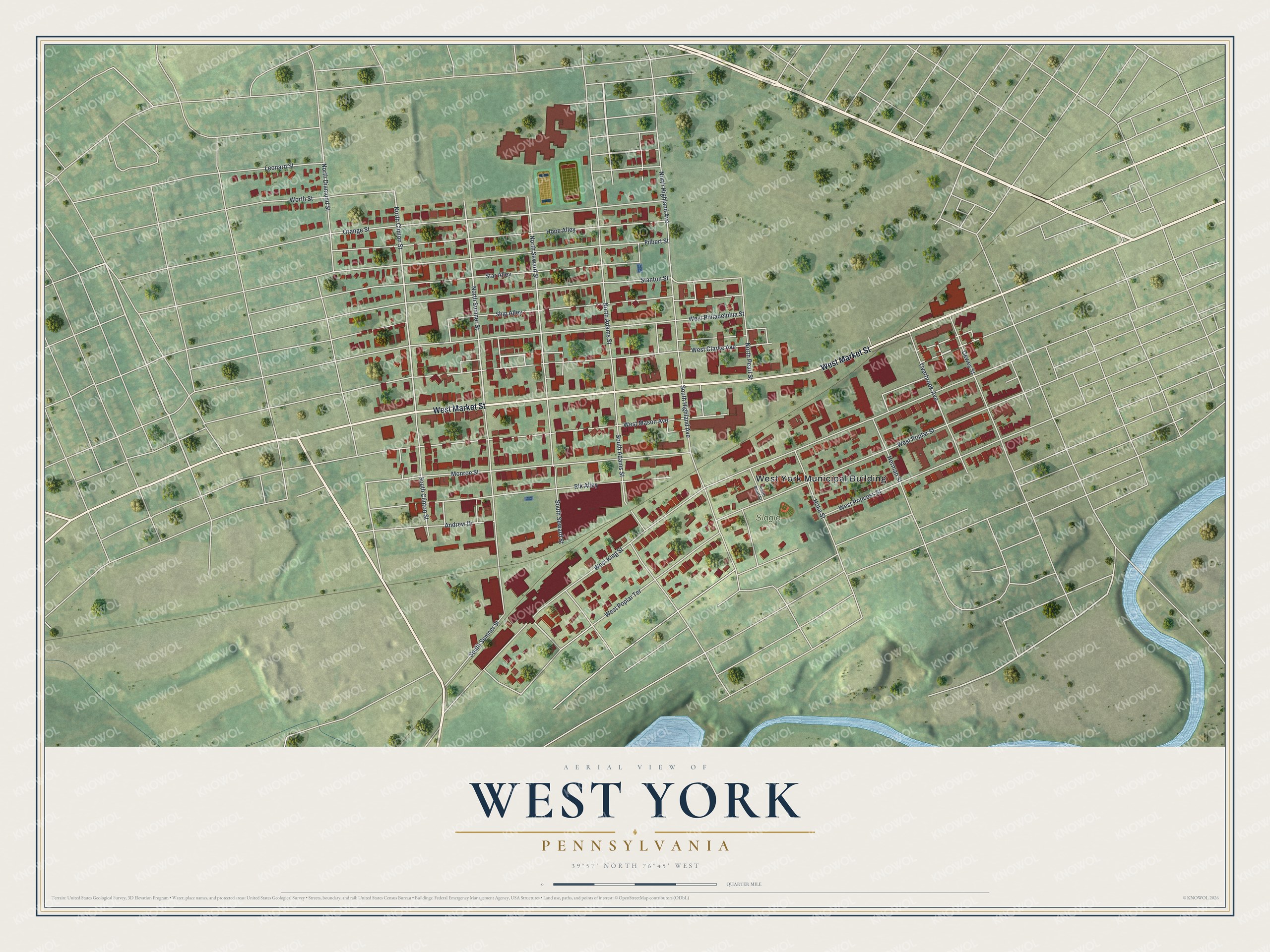
Created by KNOWOL in 2026, the print pairs red buildings with soft green land, pale roads and blue water. A cream title panel sits within a thin border. It reads AERIAL VIEW OF, WEST YORK, PENNSYLVANIA, and 39°57' NORTH 76°45' WEST.
Hang it in a living room, office or entryway. It's a gift for someone who grew up near Slagle Park or moved away from West York. Open the preview and look for the block you'd like to keep close. See sizes and frames for the West York map.