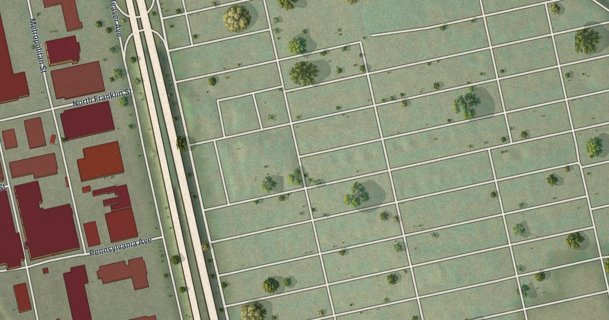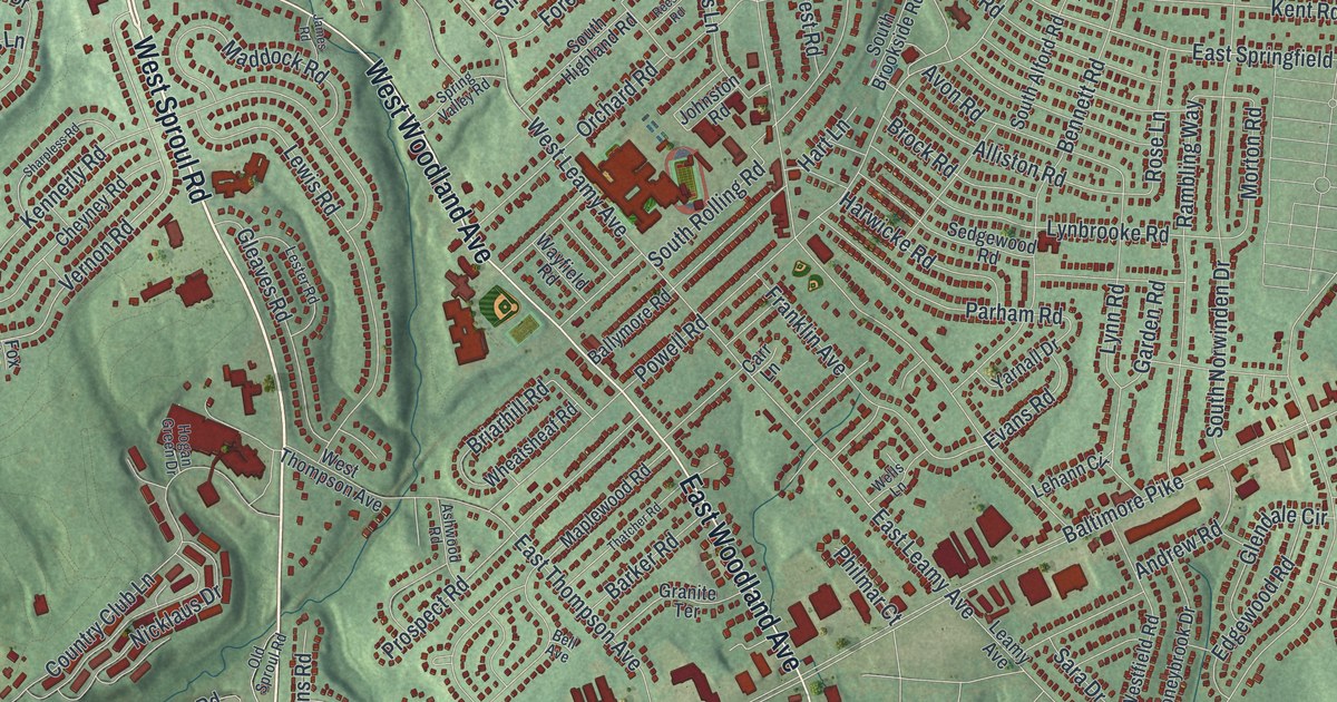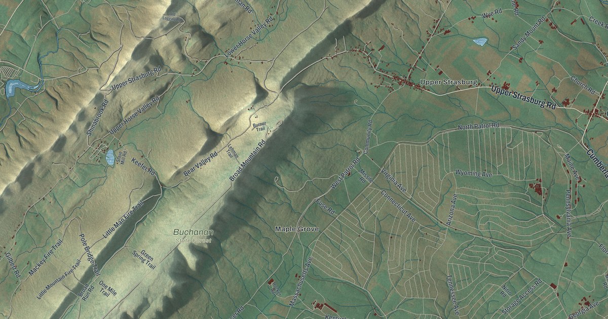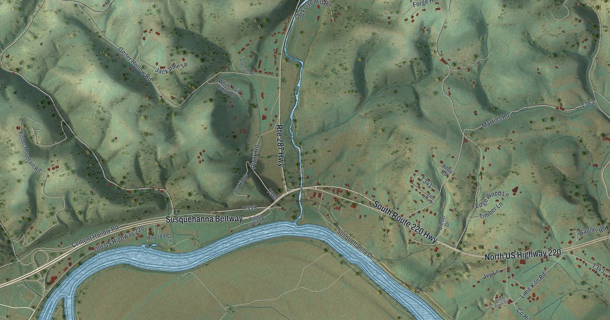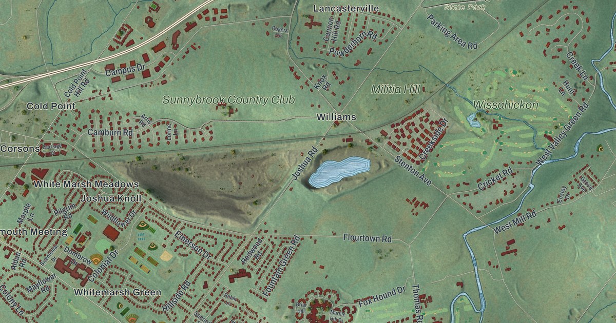
If you grew up near Barren Hill, played a round at Sunnybrook Country Club, or know Fort Washington State Park, this map was made for you. It's a modern aerial view of Whitemarsh Township in Montgomery County, Pennsylvania, built from new data and finished with a vintage look. Green hills roll across the sheet. A blue creek winds past Militia Hill, and a wide river curves along the lower left. Thousands of red buildings fill the land from Plymouth Meeting and Marble Hall up to Broad Axe.
Streets and Places from Barren Hill to Broad Axe
On this map you'll find Germantown Pike, Ridge Pike, Bethlehem Pike, Butler Pike, East Skippack Pike, Flourtown Road, Barren Hill Road, Joshua Road, the Whitemarsh Township Building, Fort Washington State Park, Miles Park, Kline Park, Plymouth Meeting, Marble Hall, Militia Hill, and more. Each red shape is a building, so zoom in on the preview and look for yours.
Lafayette at Barren Hill in 1778
Whitemarsh played a real part in the American Revolution. Washington had his headquarters at Whitemarsh from November 2 to December 11, 1777, just before the army moved on to Valley Forge. The next spring, General Lafayette came to Barren Hill. It was May 19 and 20, 1778, and it was his first command on his own. He had about 2,000 troops with him. Howe's British force was much larger, and Lafayette had to get his men out. From the steeple of St. Peter's Lutheran Church, Lafayette gave his orders. Then he organized his famous retreat to Matson Ford, and his troops were saved from capture. Once the British left, Lafayette came back to Barren Hill. He stayed until he was called back to Valley Forge on May 23. Two of Pennsylvania's state historical markers tell this story right here in the township.
Barren Hill is printed on the map, along with Ridge Pike, Barren Hill Road and Germantown Pike, which the two markers sit across from and between. Barren Hill is printed near the middle of the sheet, right by the Whitemarsh Township Building. One marker stands on Ridge Pike, across from Barren Hill Road. The other stands at St. Peter's, between Germantown Pike and Ridge Pike. St. Peter's itself goes back to 1752, when Henry Melchior Muhlenberg started it. Lafayette Avenue and Redcoat Drive are printed on the map too.
Whitemarsh on Your Wall, from Miquon to Fellwick
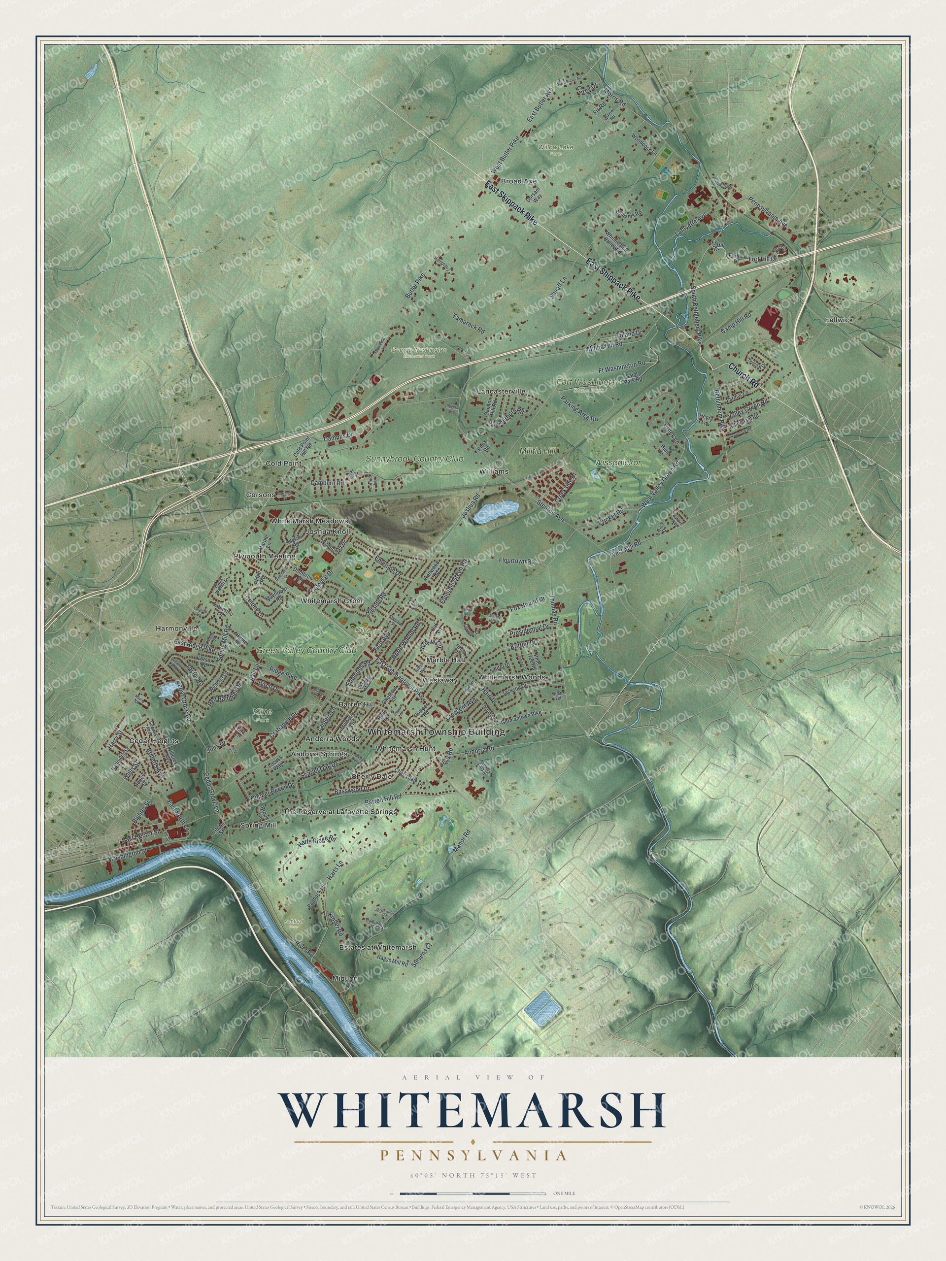
Created by KNOWOL in 2026, this print shows Whitemarsh in soft greens, with shaded hills, blue water and red buildings. The title panel reads "Aerial View of Whitemarsh, Pennsylvania" above the line 40°05' North 75°15' West.
It fits a family room, a home office or the hall by the front door. It's a good gift for someone who grew up near Barren Hill, or who spent time at Fort Washington State Park before moving away. Open the preview and find your own street. See sizes and frames for the Whitemarsh map.