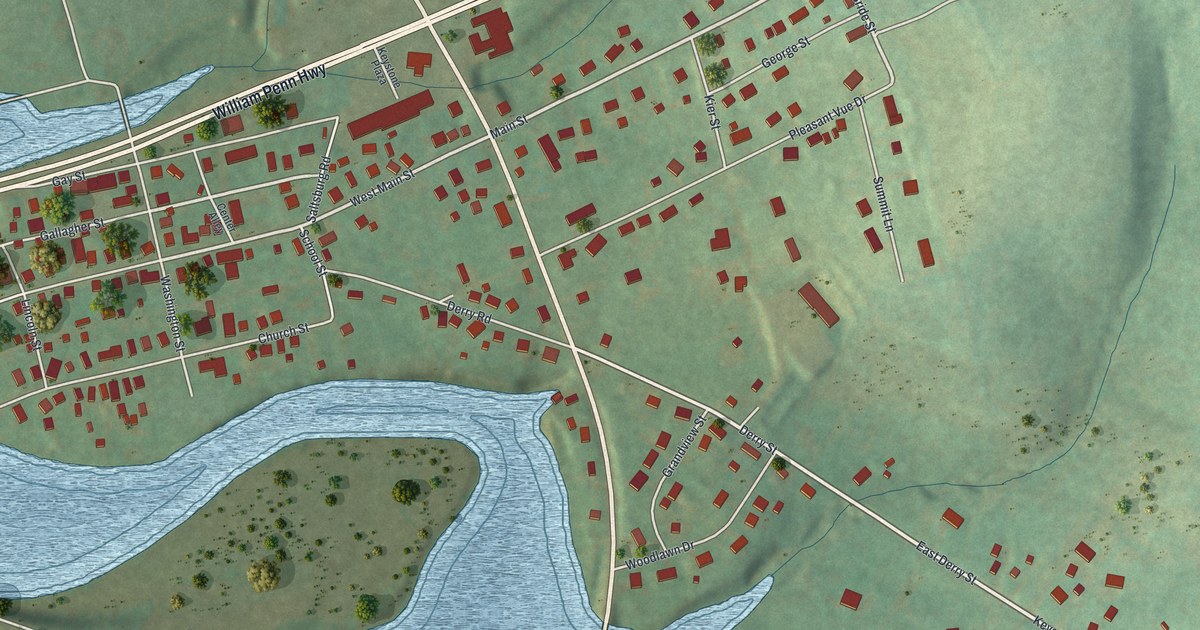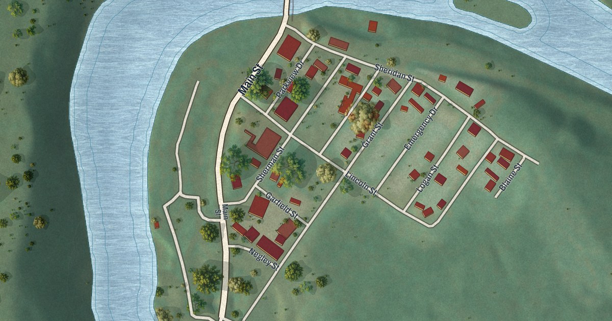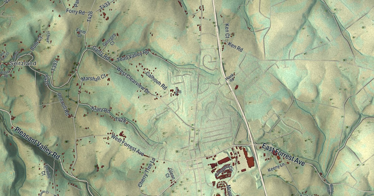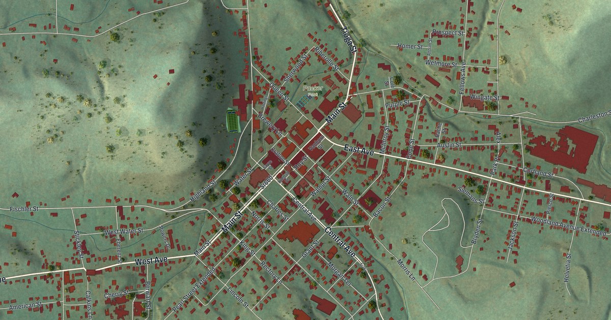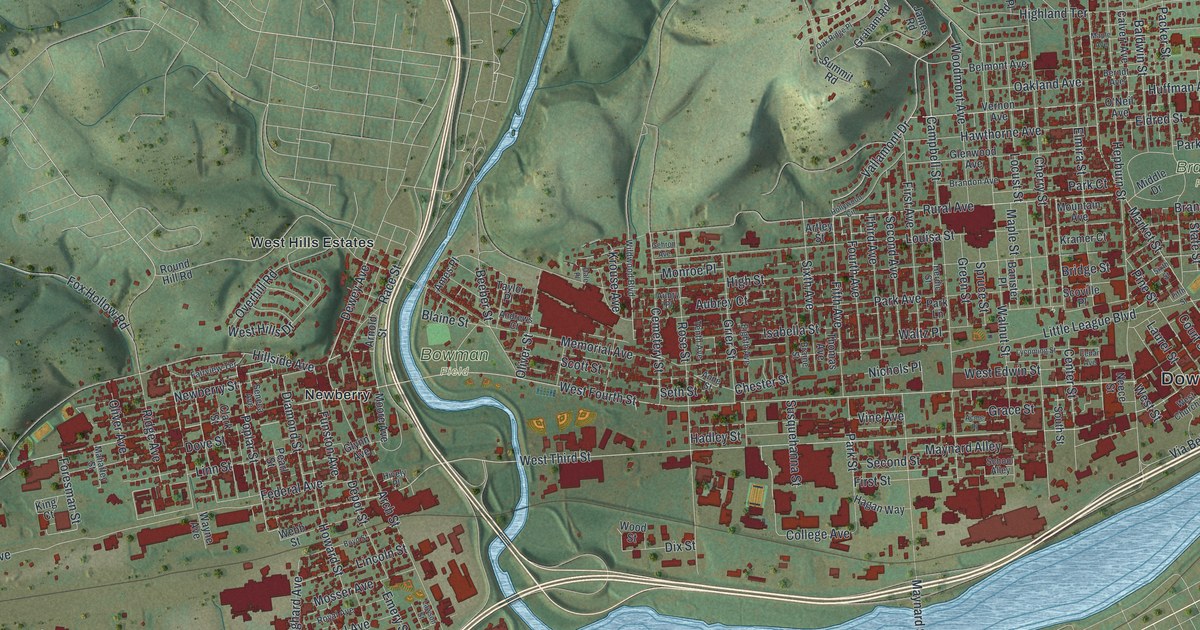
If you grew up in Williamsport, or you've cheered a game at Bowman Field, this is your city from above. It's a modern aerial view of Williamsport in Lycoming County, Pennsylvania, made from modern data and given a vintage look. Green hills rise across the top. A wide blue river runs along the bottom. Thousands of red buildings fill the city in between, with Downtown, Newberry, Vallamont Hills and Grampian Hills printed by name.
Bowman Field, Brandon Park and Your Street
On this map you'll find West Fourth Street, West Third Street, Market Street, Campbell Street, Washington Boulevard, Little League Boulevard, Memorial Avenue, Grampian Boulevard, Vallamont Drive, Bowman Field, Brandon Park, Newberry, Vallamont Hills, Grampian Hills, and more. Each red shape is a building, so zoom in on the preview and look for yours.
Where Little League Baseball Began
Williamsport is the birthplace of Little League Baseball. Carl E. Stotz came up with the idea in 1938. The next year, three teams played 24 games. Stotz set the field distances for young players at the Original Little League Field on West Fourth Street. The first 12 Little League World Series were played there, from 1947 to 1958. In those years, the league grew from 60 teams to thousands in many nations. That's all told on the state marker for Carl E. Stotz. The old field sits on West Fourth Street, close to Bowman Field.
Bowman Field was built in 1926. It's long been noted as Pennsylvania's oldest working minor league ballpark, and the second oldest in the nation. The first pro game there was played on April 27, 1926. The Williamsport Grays played the Harrisburg Giants, a Negro league team. The park was first called Memorial Field. In 1929 it was renamed for J. Walton Bowman.
The Lumber Years on West Fourth Street
Long before Little League, Williamsport was known for lumber. Before 1900, it was called the lumber capital of the world. Each spring, logs floated down the West Branch into the Susquehanna Boom, a six-mile line of piers that caught and held them. Peter Herdic owned lumber mills and was president of the boom. He put up many buildings on Millionaire's Row. His 1854 home, the Peter Herdic House, is at 407 West Fourth Street. The 1889 flood badly damaged the boom, and it slowly faded after that.
From Grampian Hills to Newberry
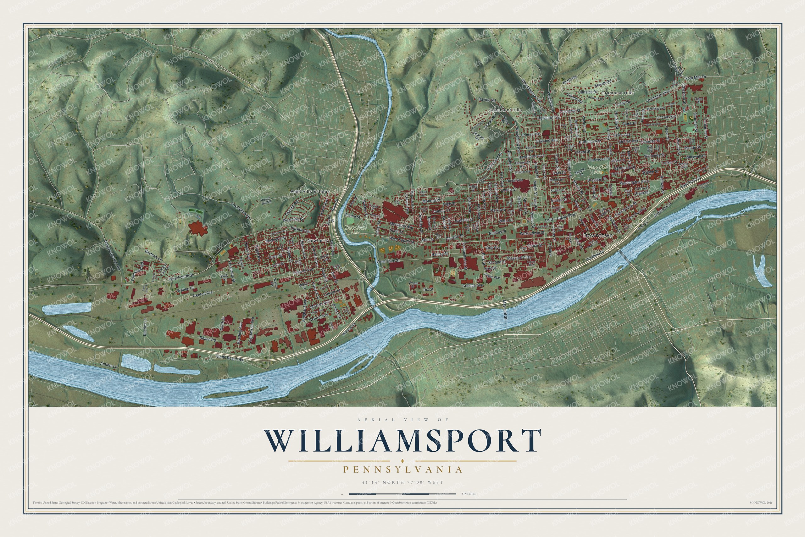
Created by KNOWOL in 2026, this print shows Williamsport in soft green hills, blue water and deep red buildings, with a cream title panel below the map. The panel reads "Aerial View of Williamsport, Pennsylvania" and "41°14' North 77°00' West."
It suits a living room, a home office or a den. It makes a good gift for someone who grew up near Bowman Field, or for a friend who moved away and still talks about West Fourth Street. Open the preview and find your block. See sizes and frames for the Williamsport map.