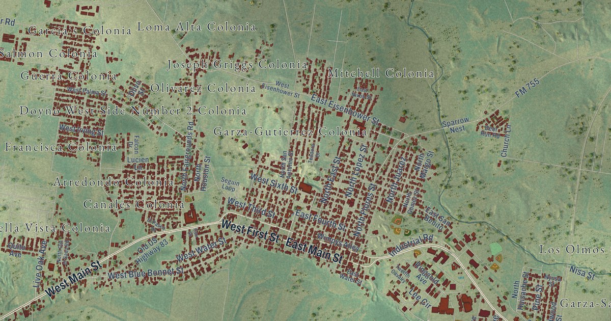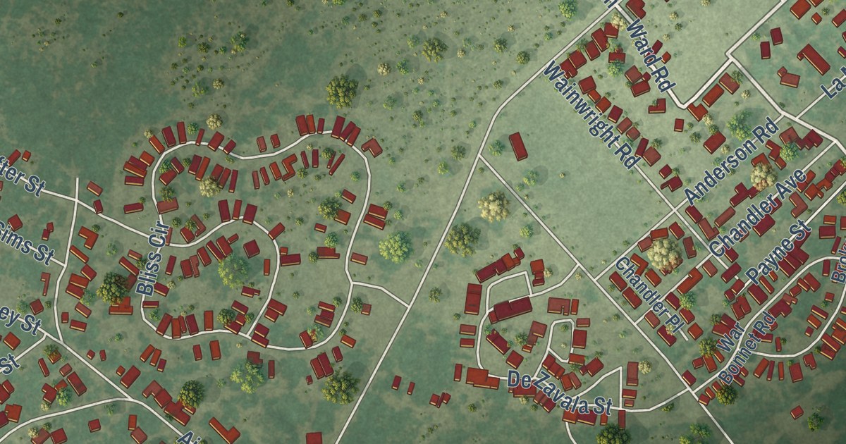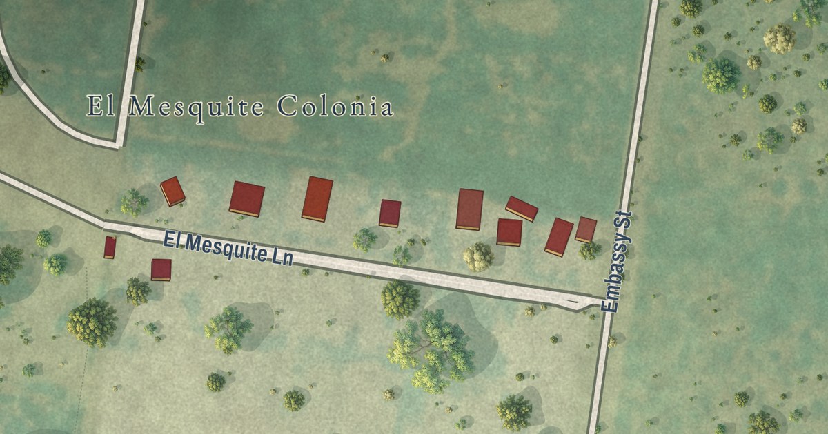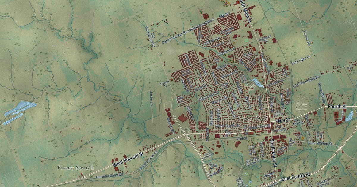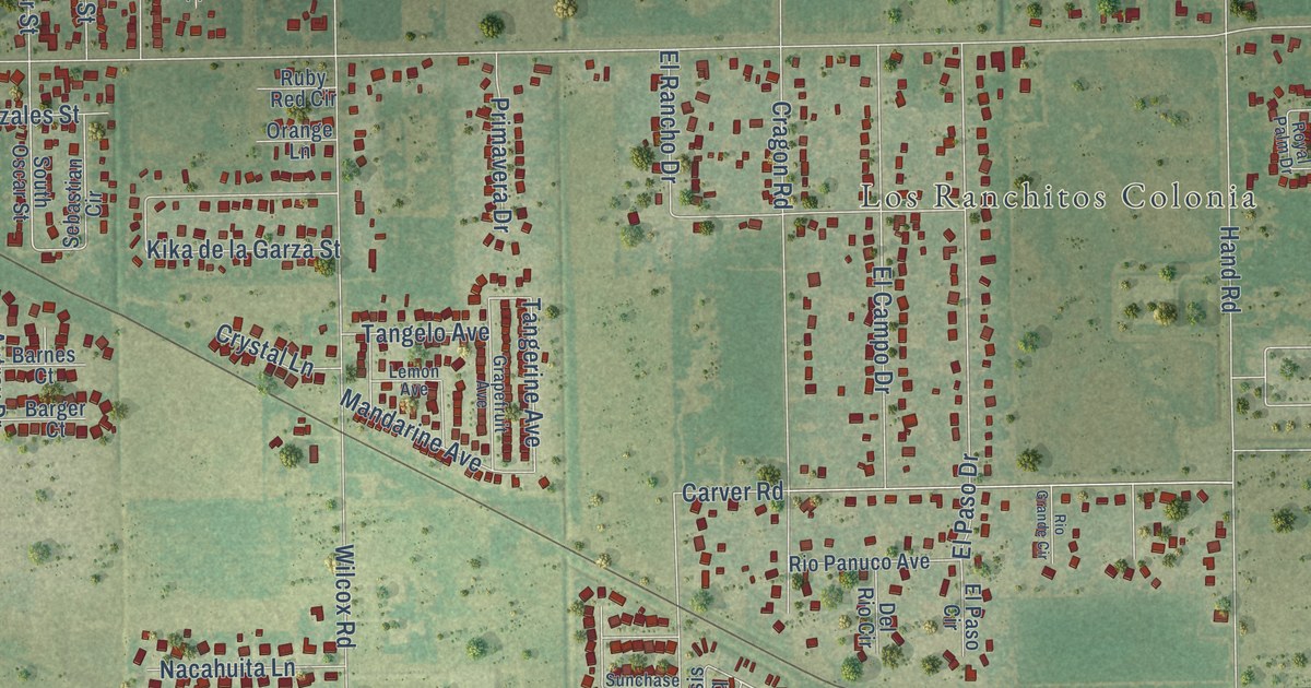
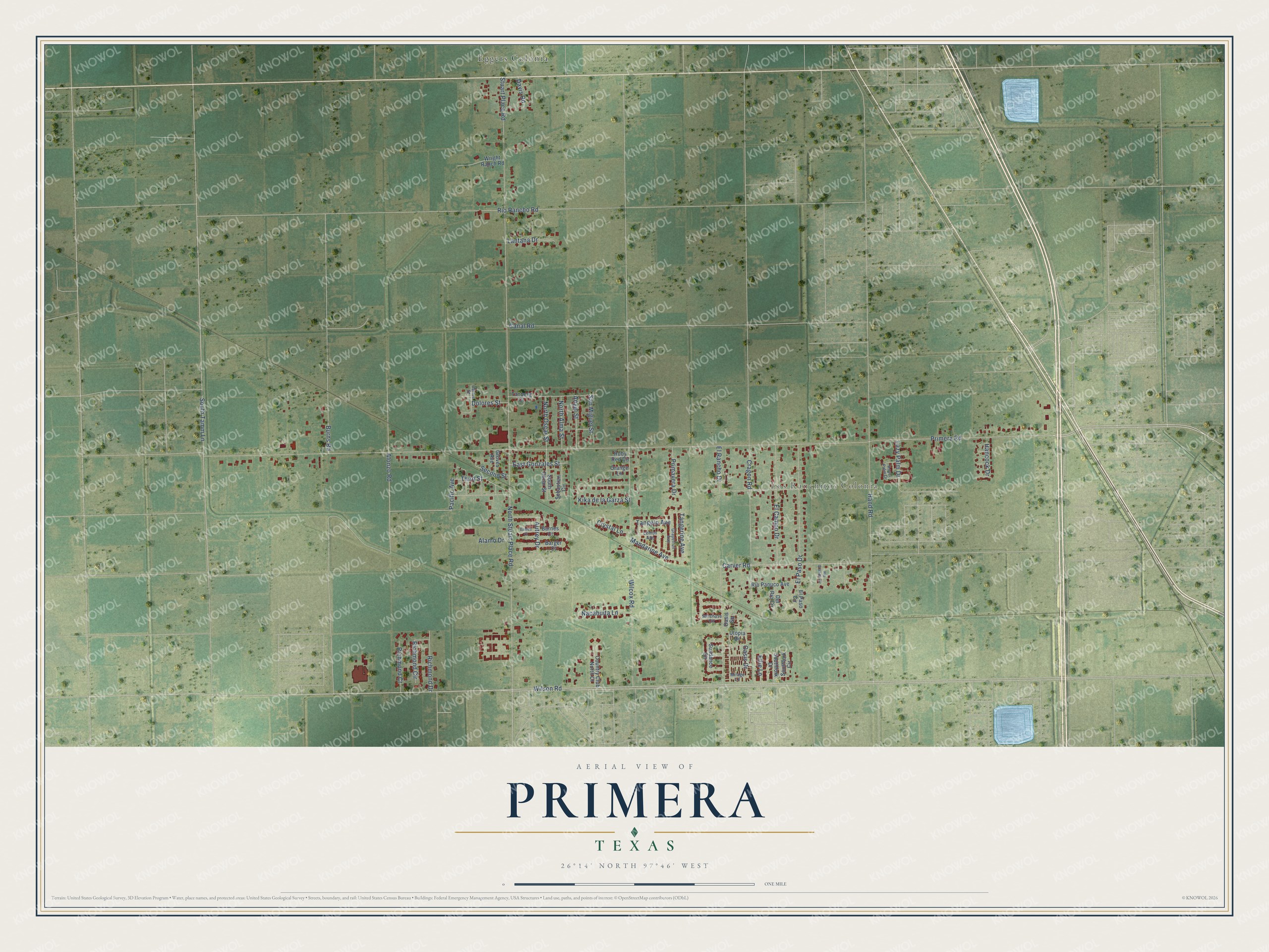
This beautifully detailed map of Primera, Texas was created in 2026 using aerial imagery combined with modern topographical, census, street and landmark data. It’s a one-of-a-kind view of Primera that combines accurate data with a vintage aesthetic. The map shows every building in its true location, many of the roads carry their names, and the shaded topographic relief shows the shape of the land.
Explore an aerial view of Primera, Texas
On the map you’ll find Los Ranchitos Colonia and Eggers Colonia, along with South Tamm Lane, Wilson Road, Third Street, Oasis Drive, Tangerine Avenue, Primera Road, Stuart Place Road, Hand Road, Carver Road, Wilcox Road, and more. If you look closely you can even find your house accurately drawn in its correct location. Zoom in on the preview to look for yours.
Did you know this piece of Primera, Texas history?
From the Handbook of Texas: "A railroad siding was established in 1927, when the San Antonio and Aransas Pass Railway built a line that passed through the town from Edinburg Junction to Brownsville."
Take a closer look at the Primera map
Street and place names on the Primera, Texas map
These names are printed on the map of Primera, Texas.
Places: Los Ranchitos Colonia and Eggers Colonia.
Streets and roads: South Tamm Lane, Wilson Road, Third Street, Oasis Drive, Tangerine Avenue, Primera Road, Stuart Place Road, Hand Road, Carver Road, Wilcox Road, Cragon Road, El Paso Drive.
More street names, A to Z
Alamo Drive, Alonzo Road, Angel Street, Autrey Drive, Bames Court, Barger Court, Barnes Court, Burns Road, Canal Road, Carlos Street, Country Club North Court, Crystal Lane, Davis Road, Del Rio Circle, Dolores Street, East Gonzales Street, El Campo Drive, Ellie Lane, El Paso Circle, El Rancho Drive, Grapefruit Avenue, Groves Avenue, Hancock Drive, Kika de la Garza Street, Lantana Drive, Lazy Palm Drive, Lemon Avenue, Mandarine Avenue, Mirage Lane, Nacahuita Lane, North Alma Street, North Oscar Street, North Stuart Place Road, Oasis Square, Orange Lane, Pacific Avenue, Primavera Drive, Richmond Circle, Richmond Court, Richmond Drive, Rio Grande Circle, Rio Panuco Avenue, Rio Rancho Road, Royal Palm Drive, Ruby Red Circle, San Miguel Street, Sebastian Circle, Second Street, Southfork Circle, Southfork Drive, South Oscar Street, Sunchase Circle, Sundance Circle, Tanberg Court, Tangelo Avenue, Utopia Drive, Wright Ranch Road.
See the Primera, Texas map on a wall
The Primera map as an 18 x 24 inch print in a black frame.

This beautifully detailed map of Primera makes an attractive addition to your office, library, or den, and it can even be used to teach children the geography and history of the area. It also makes a great gift for someone who left Primera and still calls it home. When you’re done exploring, click here to get your copy of the Primera map.