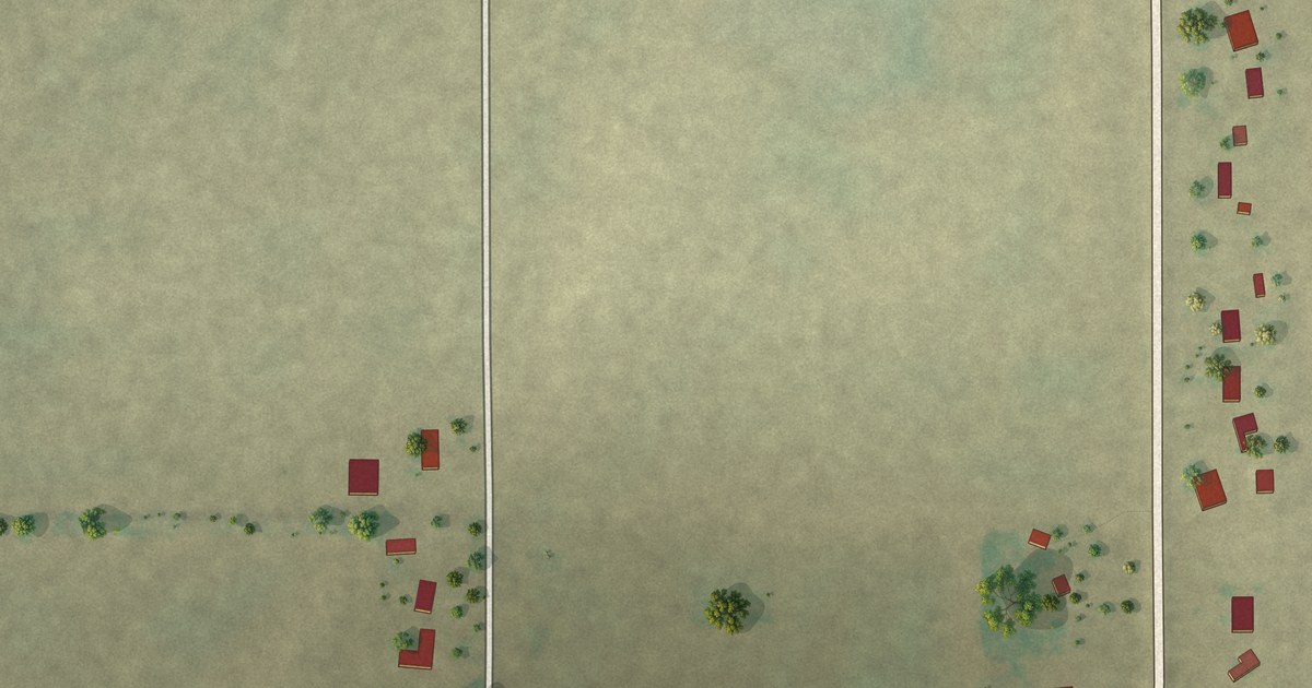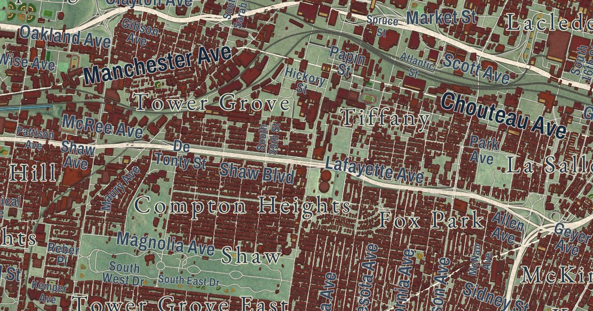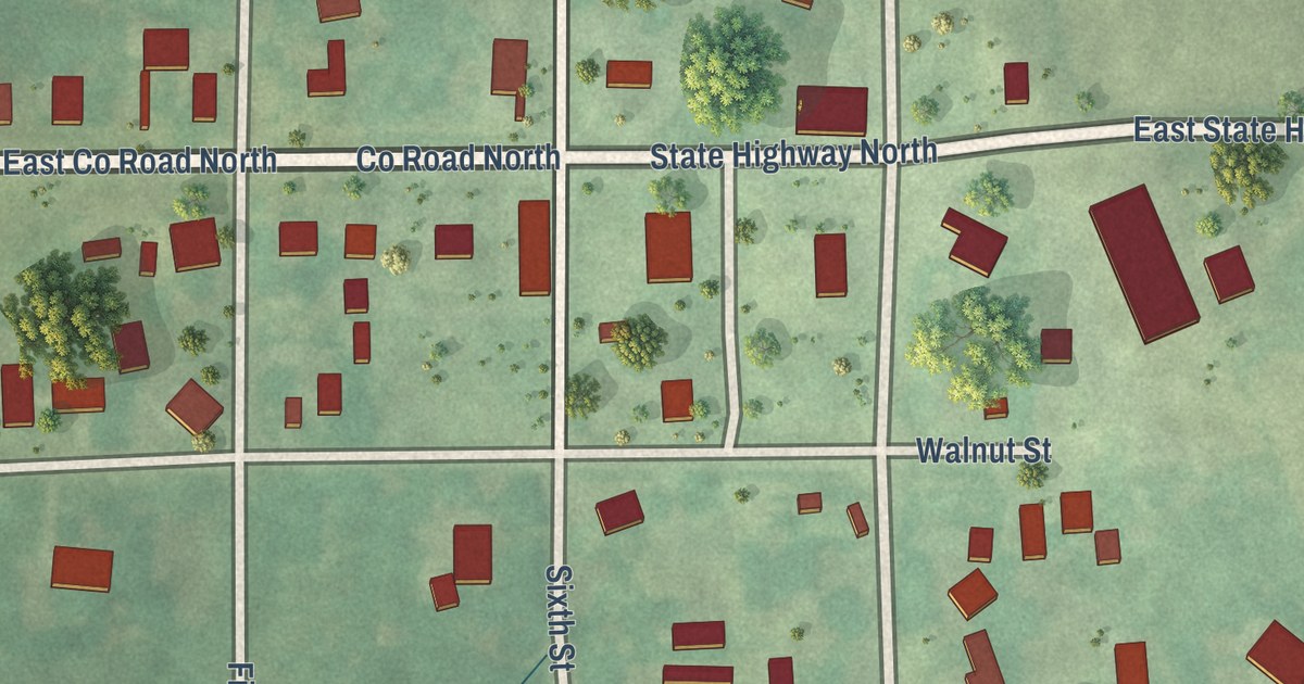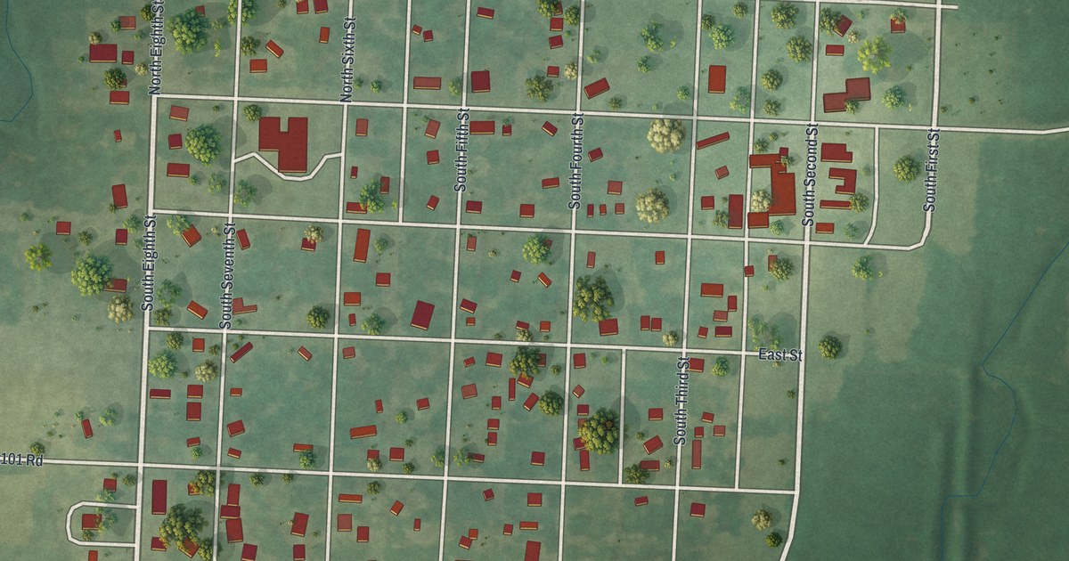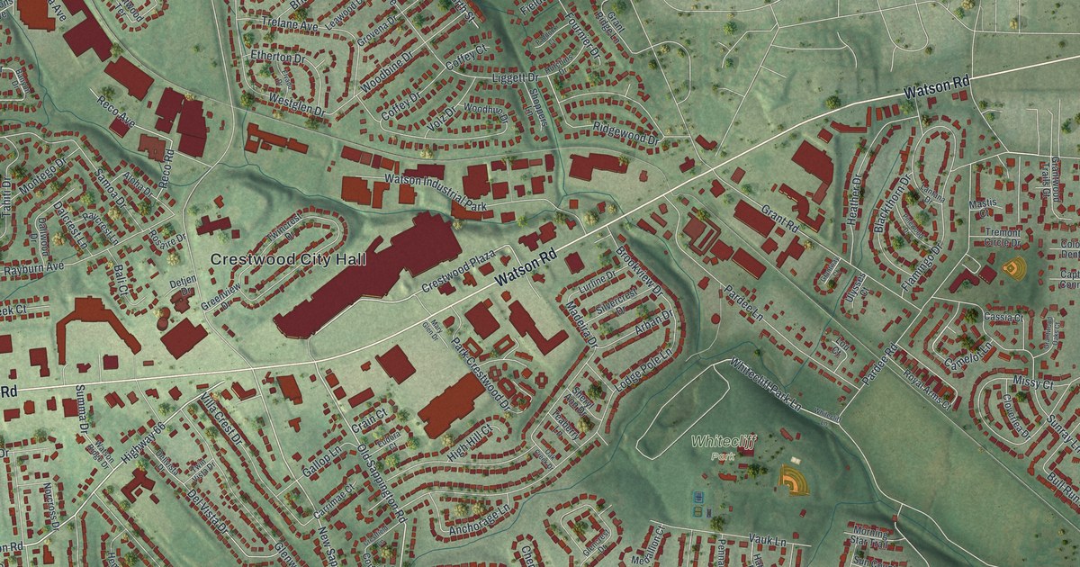
This beautifully detailed map of Crestwood, Missouri was created in 2026 using aerial imagery combined with modern topographical, census, street and landmark data. It’s a one-of-a-kind view of Crestwood that combines accurate data with a vintage aesthetic. The map shows every building in its true location, many of the roads carry their names, and the shaded topographic relief shows the shape of the land.
Explore an aerial view of Crestwood, Missouri
On the map you’ll find Crestwood City Hall, Crestwood Park, Whitecliff Park, and Crestwood Plaza, along with Watson Road, Eddie and Park Road, East Watson Road, Highway 66, Bishops Gate Lane, Old Sappington Road, Acorn Drive, New Sappington Road, and more. If you look closely you can even find your house accurately drawn in its correct location. Zoom in on the preview to look for yours.
Did you know this piece of Crestwood, Missouri history?
From the Call Newspapers: "Crestwood was founded in 1947 by a group of citizens who did not want to be annexed by Kirkwood, Oakland or Webster Groves during the division. In 1949 the first mayor was elected, propelling the town to city status."
Take a closer look at the Crestwood map
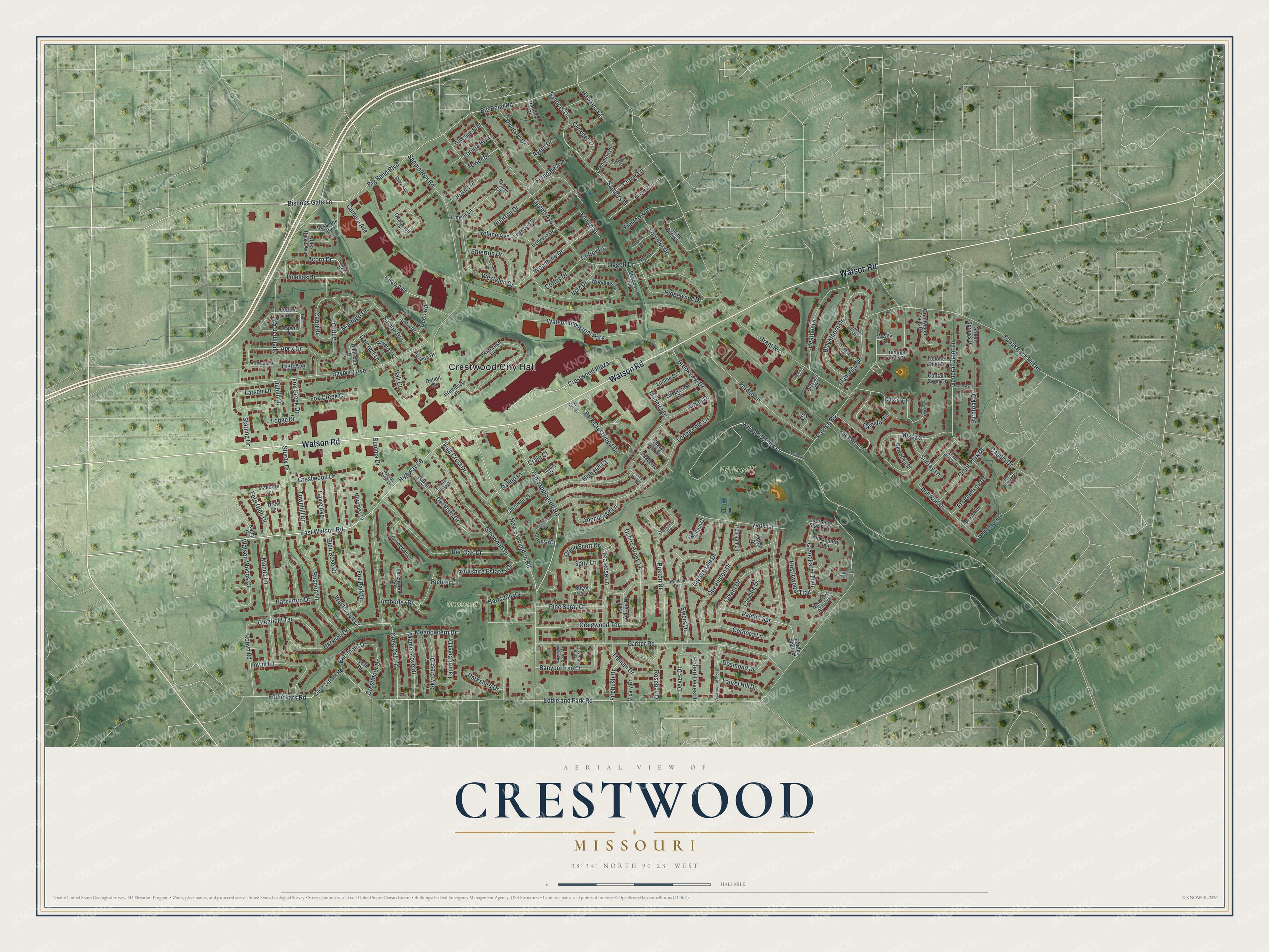
Street and place names on the Crestwood, Missouri map
These names are printed on the map of Crestwood, Missouri.
Places: Crestwood City Hall, Crestwood Park, Whitecliff Park and Watson Industrial Park.
Streets and roads: Watson Road, Eddie and Park Road, East Watson Road, Highway 66, Crestwood Plaza, Bishops Gate Lane, Old Sappington Road, Acorn Drive, New Sappington Road, Tea Rose Lane, Pinellas Drive, Capri Drive.
More street names, A to Z
Aloha Drive, Amberley Drive, Anchorage Lane, Apex Drive, Appomattox Court, Arban Drive, Arrowwood Drive, Aspen Drive, Ayres Drive, Bali Court, Banbury Court, Banyon Drive, Banyon Tree Court, Barberton Drive, Bardmont Drive, Beth Drive, Big Bend Boulevard, Big Bend Road, Blackthorn Drive, Briarton Drive, Brookview Drive, Bull Run Drive, Burntoak Drive, Buxton Drive, Camelot Lane, Camera Avenue, Capilia Drive, Captain Conn Drive, Carrimae Court, Cassia Court, Chatwood Terrace, Cherry Brook Lane, Clay Avenue, Clover Lane, Cloverlea Drive, Clydesdale Drive, Coffey Court, Coffey Drive, Colonel Dent Drive, Conover Lane, Cordoba Lane, Cornish Drive, Craigwood Terrace, Crain Court, Crestfield Lane, Crestmoor Drive, Crest Oak Lane, Crestwood Drive, Crestwood Manor Drive, Crompton Court, Curwood Drive, Dalcrest Lane, Dallwood Drive, David Scott Drive, Dellvista Drive, Del Vista Drive, Denton Court, Desmond Drive, Detjen Drive, Deves Drive, Diane Lane, Diversey Drive, Drew Terrace, Dublin Drive, Eddie & Park Road, Eddie Park Road, Elmont Lane, Elvado Drive, Etherton Drive, Eudora Court, Ewers Drive, Ferndale Avenue, Fern Glen Drive, Fernleaf Drive, Fieldcrest Drive, Firebush Drive, Firewood Trail, Flamingo Drive, Fournier Drive, Fourth Street, Fox Creek Court, Fox Creek Drive, Fox Park Drive, Ft Donelson Drive, Gallop Lane, Garber Road, Gayle Avenue, General Grant Lane, Gillespie Boulevard, Glencrest Drive, Glenfield Terrace, Glen Rose Drive, Glenwood Drive, Grant Farm Trail, Grant Haven Drive, Grant Park Drive, Grant Ridge Lane, Grant Road, Grantway Court, Grantwood Oaks Court, Grantwood Trails Court, Green Springs Drive, Greenview Drive, Grovena Drive, Hartsdale Drive, Harwich Drive, Hatton Drive, Hawkins Court, Heather Drive, Hemingway Drive, High Avenue, High Hill Court, Hutchins Drive, Jo Ann Place, Joshua Drive, Kathy Court, Lantana Drive, Laramie Drive, Larchwood Court, Larsen Lane, Laurel Crest Drive, Laurel Hill Drive, Lavant Drive, Lawndale Drive, Leawood Drive, Liggett Avenue, Liggett Drive, Lodge Drive, Lodge Pole Lane, Lopina Boulevard, Lou Court, Lowill Lane, Lurline Drive, Madeira Drive, Maebern Terrace, Manda Lane, Maple Grove Drive, Mary Glen Drive, Mastis Court, Meadowfern Drive, Medallion Court, Missy Court, Montego Drive, Morning Star Trail, Mountain Ash Trail, Norcross Drive, Oak Creek Drive, Oak Ridge Avenue, Oakwyck Drive, Paddock Court, Pardee Lane, Pardee Road, Pardee Spr, Pardee Spur Road, Park Crestwood Drive, Parkshire Drive, Paul Adrian Drive, Pennant Lane, Pine Spray Court, Pinewood Drive, Queenston Drive, Rayburn Avenue, Raycrest Lane, Reco Avenue, Reco Road, Red Oak Drive, Richter Lane, Ridgewood Drive, Robert Deves Drive, Robyn Road, Rock Forest Drive, Roger Lee Lane, Rosaire Drive, Rosebay Drive, Royal Arms Court, Rusdon Lane, Rusticwood Trail, Samoa Drive, Sanders Drive, Sanders Place, Sappington Greens Lane, Sappington Road, Sessions Avenue, Sheryl Ann Drive, Shoppers Lane, Silvercrest Drive, Sky Crest Drive, South Rock Hill Road, Spellman Avenue, Spitz Lane, Starling Drive, Sturdy Drive, Summa Drive, Sun Country Trail, Sunray Lane, Tahiti Drive, Teaberry Lane, Tower Drive, Townhill Drive, Trelane Avenue, Tremont Circle Drive, Trillium Drive, Twincrest Drive, Twin Spruce Drive, Twin Vista Drive, Ulysses Court, Vauk Lane, Vicary Drive, Villa Crest Drive, Volz Drive, Watson Ridge Drive, Watson Woods Court, Westglen Drive, Westhaven Court, Whitecliff Lane, Whitecliff Park Lane, Whitehaven Drive, Woodbine Drive, Woodhue Drive, Yorkshire Estates Drive.
See the Crestwood, Missouri map on a wall
The Crestwood map as an 18 x 24 inch print in a black frame.

This beautifully detailed map of Crestwood makes an attractive addition to your office, library, or den, and it can even be used to teach children the geography and history of the area. It also makes a great gift for anyone with Crestwood roots. When you’re done exploring, click here to get your copy of the Crestwood map.