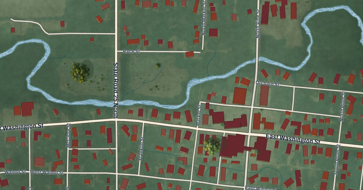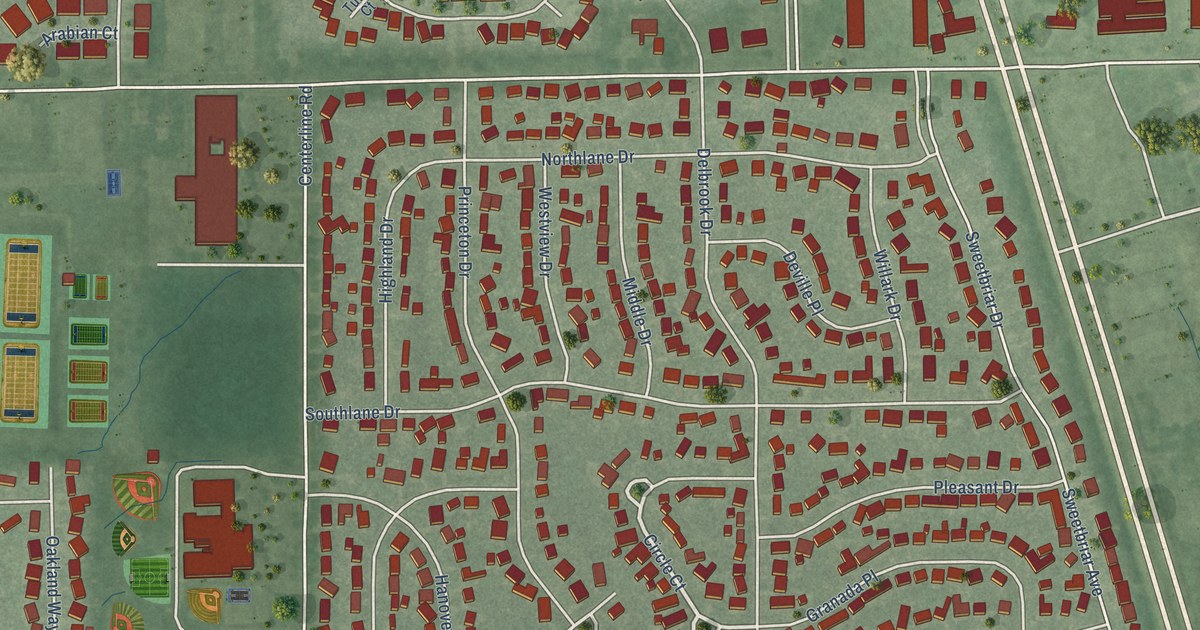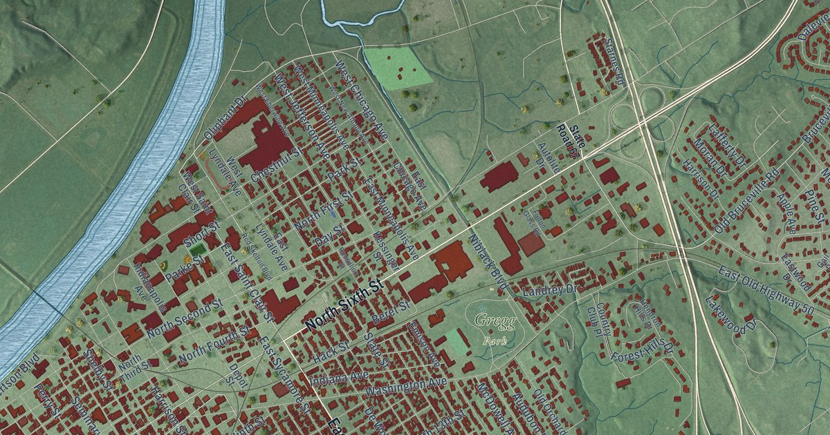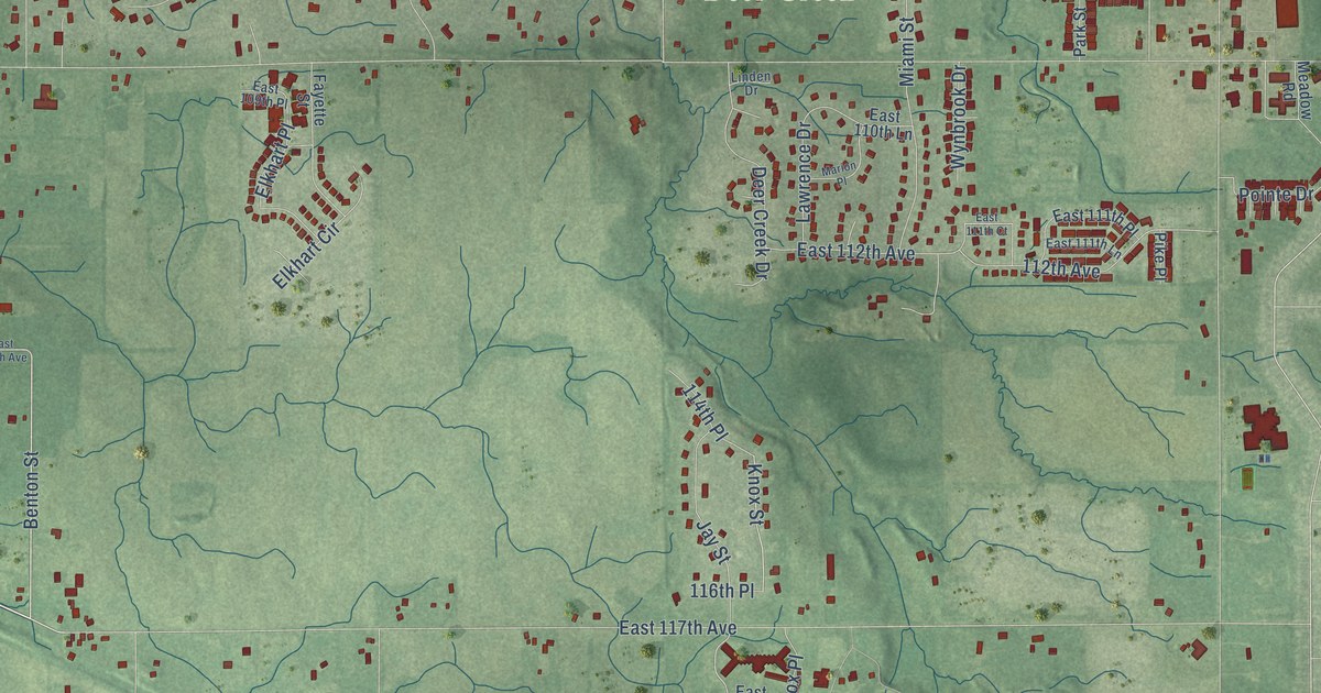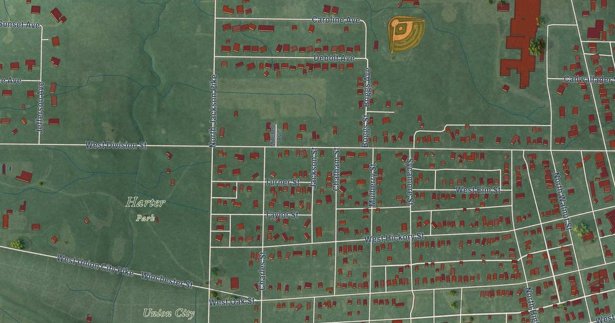
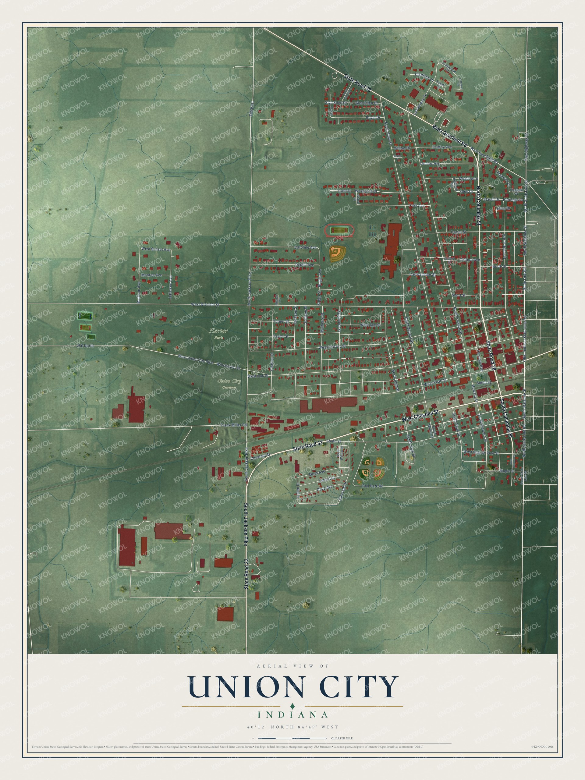
This beautifully detailed map of Union City, Indiana was created in 2026 using aerial imagery combined with modern topographical, census, street and landmark data. It's a modern aerial view of Union City in Randolph County, Indiana, that combines modern data with a vintage aesthetic. The roads feature printed names, and if you look closely you can find your exact house accurately shown in its correct location.
Explore an aerial view of Union City, Indiana
On this map you'll find Harter Park, Union City Cemetery, North Columbia Street, South Jackson Pike, South Columbia Street, State Road 32, West Chestnut Street, State Road 28, West Deerfield Road, North Stateline Street, North State Line Road, South Stateline Street, and more. Each red shape is a building, so zoom in on the preview and look for yours.
Union City has a story worth telling. The Internet Archive puts it this way: "Chenoweth, 76; James Clark, 75; Esther
Dempsey, 71; Baker Elliot, 70; Jesse Flood, 70; Stephen Grave,
70; Thomas Hough, 73; Elizabeth Hammond, 79; James N."
Union City is a city in Randolph County. The Census Bureau counted 3,454 people here in 2020.
Take a closer look at the Union City map
Names on this map
These names are printed on this map.
Places: Harter Park and Union City Cemetery.
Streets and roads: North Columbia Street, South Jackson Pike, South Columbia Street, State Road 32, West Chestnut Street, State Road 28, West Deerfield Road, North Stateline Street, North State Line Road, South Stateline Street, Ohio-Indiana State Line Road, North State Line Street.
More street names, A to Z
250 North, 800 East, Allen Drive, Ball Park Road, Beverly Drive, Boggs Avenue, Boggs Street, Cadwallader Street, Caroline Avenue, Carter Street, Cedar Court, Charles Street, Chatham Court, Chatham Street, Chestnut Street, Clifford Avenue, Clifford Street, Crestwood Court, Debolt Avenue, Emerald Drive, Essex Court, Fairfax Avenue, Fletcher Avenue, Frank Miller Road, Glee Drive, Glen Ellen Drive, Glyn Ellen Drive, Grace Street, Heritage Lane, Highland Avenue, Howard Street, Jackson Street, Jefferson Avenue, Lansdowne Drive, Lennox Avenue, Lime Avenue, Loden Drive, Lutheren Terrace, Lynn Street, Madison Avenue, Maple Street, Meadow Drive, Mitchell Avenue, Monroe Avenue, Moss Avenue, Mulberry Street, North High Street, North Howard Street, North Jackson Pike, North Plum Street, North Sterling Street, North Street, North Union Street, North Walnut Street, Olive Avenue, Park Avenue, Pleasant Drive, Pleasant Street, Royal Drive, Short Street, Smith Street, South High Street, South Howard Street, South Plum Street, South State Line Street, South Street, South Walnut Street, South Willow Drive, State Line Road, Staudt Drive, Sycamore Street, Taylor Street, Turner Street, Twp Highway 12, Vine Street, West Division Street, West Elm Street, West Hickory Street, West Lynn Street, West Oak Street, West Pearl Street, West Sunset Avenue, West Union City Pike, West Vine Street, Willow Drive, Winchester Street.
Created by KNOWOL in 2026. The buildings are small red shapes, the roads carry their printed names, and shaded relief shows the shape of the land. The title panel reads "AERIAL VIEW OF UNION CITY INDIANA" with 40°12' NORTH 84°49' WEST.
It looks right in a kitchen, an office or a den, and it's a gift for anyone who grew up in Union City or moved away. Open the preview and find your street. See sizes and frames for the Union City map.