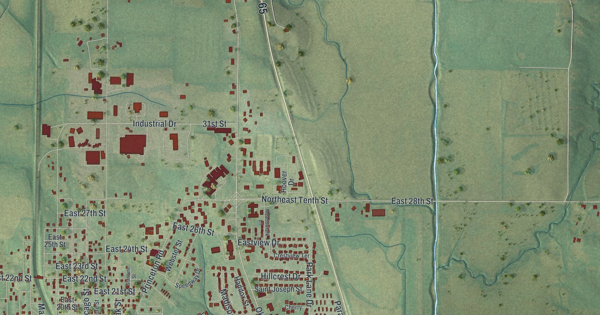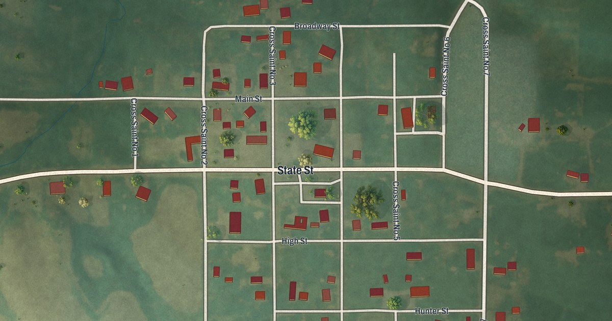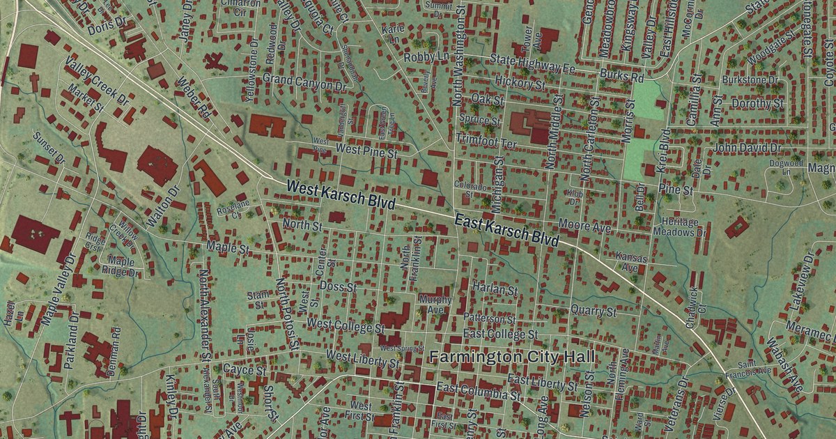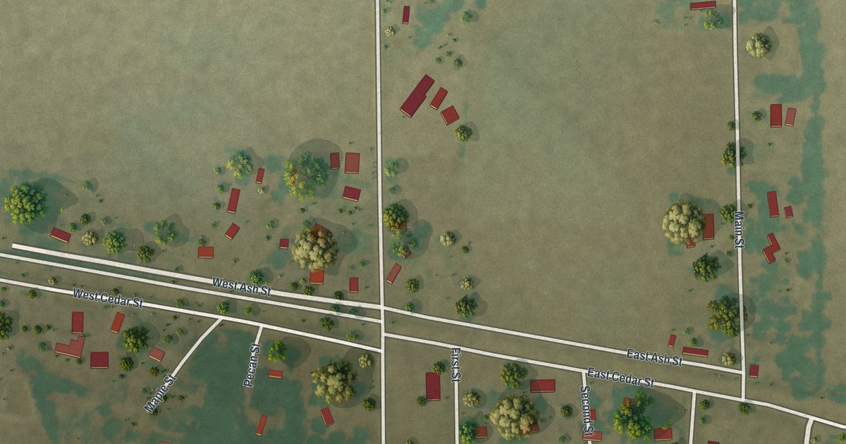
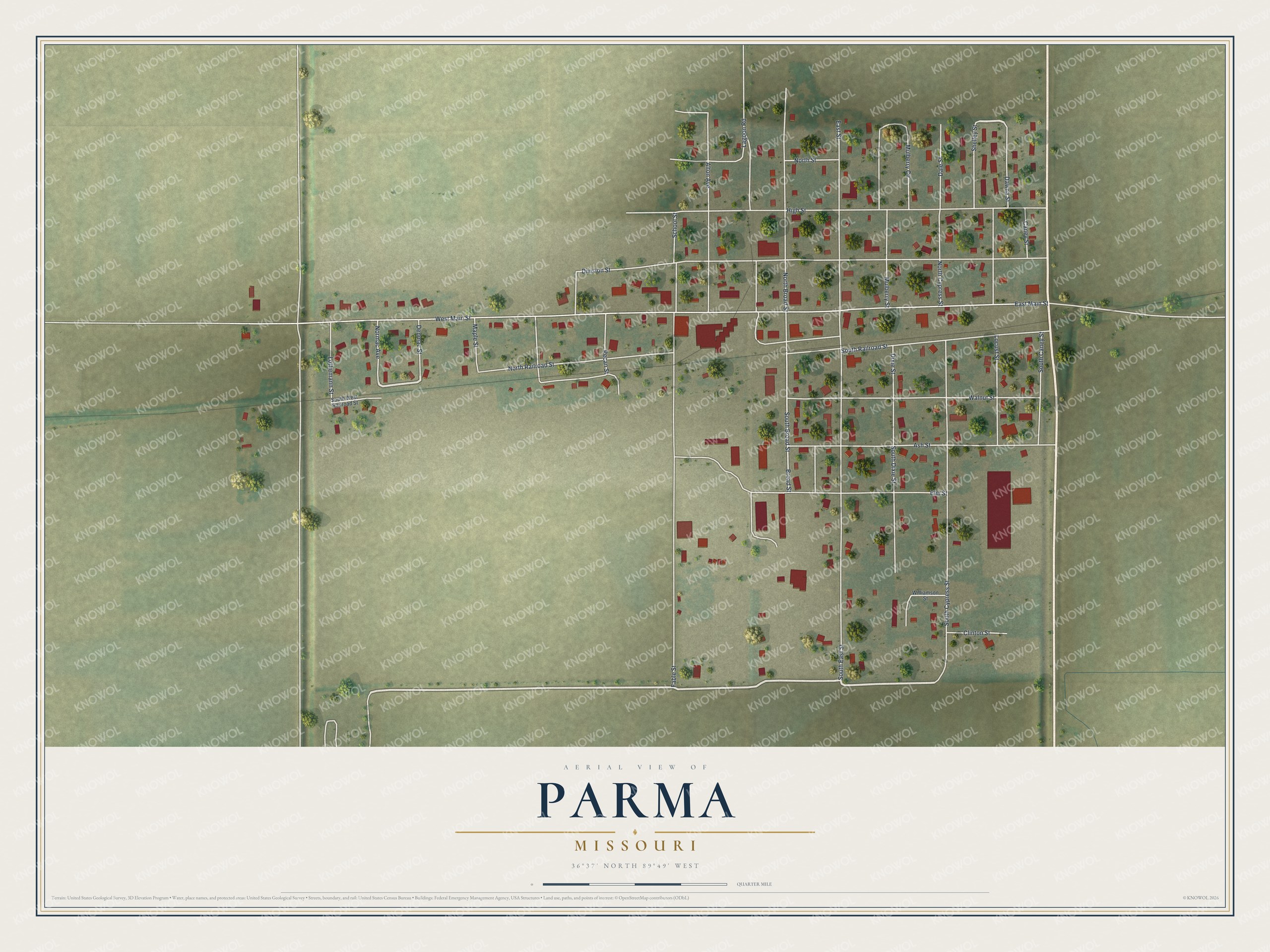
This beautifully detailed map of Parma, Missouri was created in 2026 using aerial imagery combined with modern topographical, census, street and landmark data. It’s a one-of-a-kind view of Parma that combines accurate data with a vintage aesthetic. The map shows every building in its true location, many of the roads carry their names, and the shaded topographic relief shows the shape of the land.
Explore an aerial view of Parma, Missouri
On the map you’ll find Division Street, West Main Street, High Street, Fable Street, East Main Street, South Railroad Street, South Cypress Street, East Street, Walnut Street, Elm Street, Ash Street, North Broad Street, and more. If you look closely you can even find your house accurately drawn in its correct location. Zoom in on the preview to look for yours.
Did you know this piece of Parma, Missouri history?
Parma grew up where the Frisco and Cotton Belt railroads crossed in 1900. Louis Houck, the builder of the local railroad, named it for the city and province in Italy he had admired while traveling. In 1903 the village of Lotta, a mile away, merged with it and took its name. That’s from the State Historical Society of Missouri.
Take a closer look at the Parma map
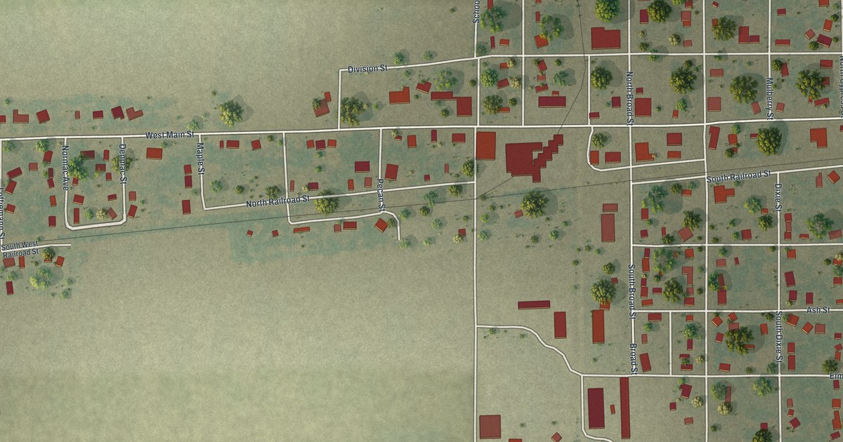
Street names on the Parma, Missouri map
These names are printed on the map of Parma, Missouri.
Streets and roads: Division Street, West Main Street, High Street, Fable Street, East Main Street, South Railroad Street, South Cypress Street, East Street, Walnut Street, Elm Street, Ash Street, North Broad Street.
More street names, A to Z
Alton Avenue, Broad Street, Caney Street, Clinton Street, Dale Street, Dawna Street, Denmac Street, Dixie Street, Lagoon Road, Locust Street, Lottiemann Street, Maple Street, Mulberry Circle, Mulberry Street, Normac Avenue, North Cypress Street, North Railroad Street, North Street, Pecan Street, School Street, Shelley Street, South Broad Street, South Caney Street, South Dixie Street, South East Street, South West Railroad Street, Williamson Street.
See the Parma, Missouri map on a wall
The Parma map as an 18 x 24 inch print in a black frame.

This beautifully detailed map of Parma makes an attractive addition to your office, library, or den, and it can even be used to teach children the geography and history of the area. It also makes a great gift for anyone with Parma roots. When you’re done exploring, click here to get your copy of the Parma map.