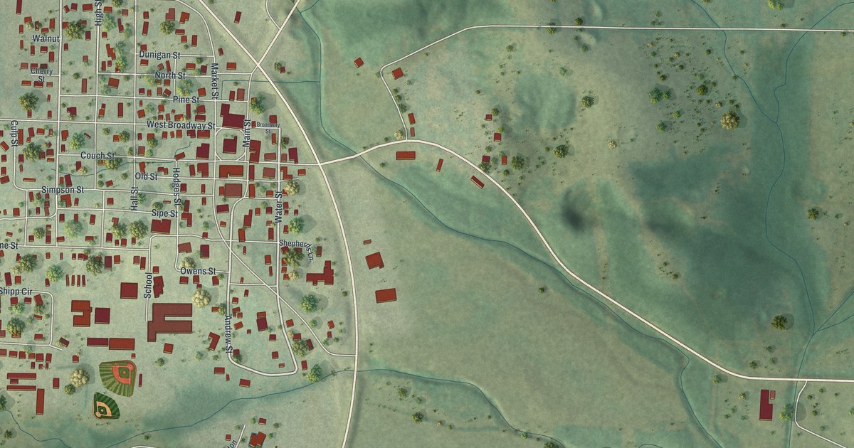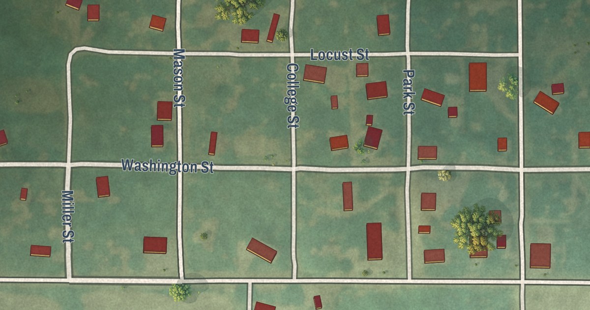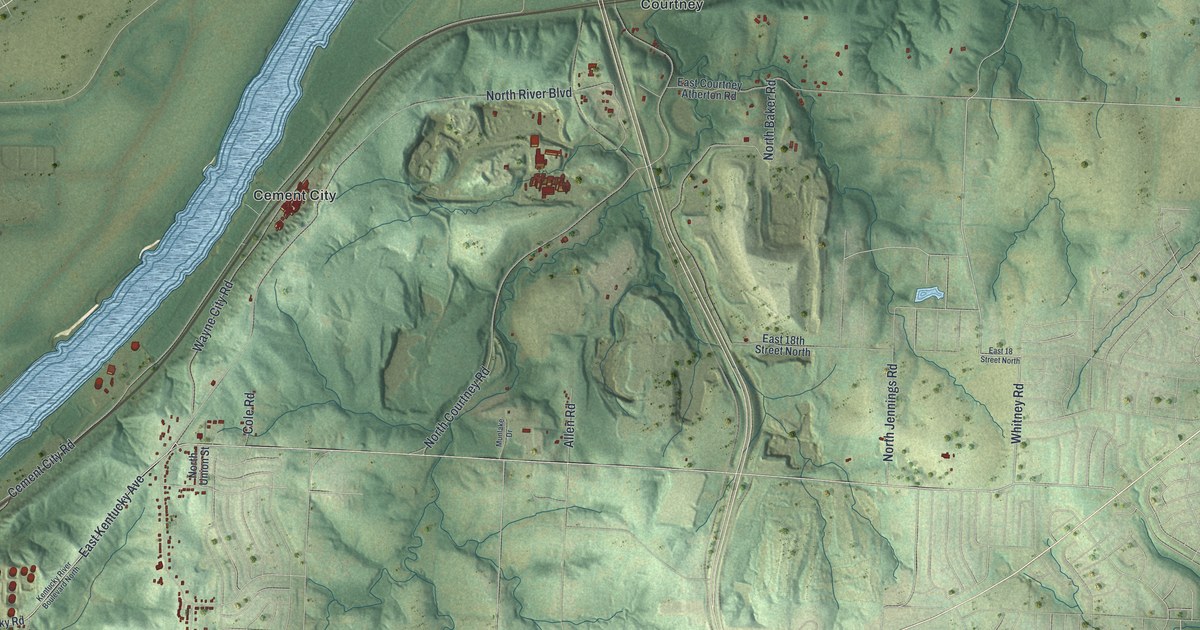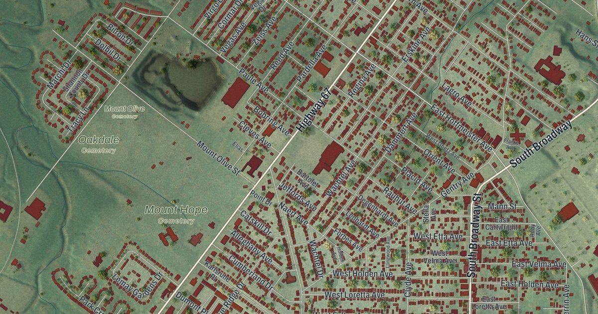
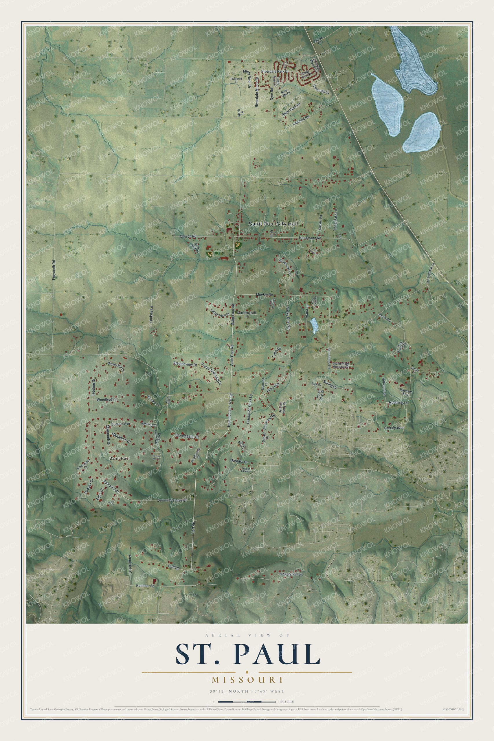
This beautifully detailed map of St. Paul, Missouri was created in 2026 using aerial imagery combined with modern topographical, census, street and landmark data. It’s a one-of-a-kind view of St. Paul that combines accurate data with a vintage aesthetic. The map shows every building in its true location, many of the roads carry their names, and the shaded topographic relief shows the shape of the land.
Explore an aerial view of St. Paul, Missouri
On the map you’ll find Saint Paul City Hall and Hoff Industrial Center, along with Saint Paul Road, Hoff Road, Hackmann Road, Mueller Road, Koch Road, Stonecastle Drive, Freymuth Road, Plantation Oaks Lane, Summit Estates Drive, and more. If you look closely you can even find your house accurately drawn in its correct location. Zoom in on the preview to look for yours.
Did you know this piece of St. Paul, Missouri history?
From the National Park Service: "St. Paul, Missouri is a community established by German immigrants in 1834 and adjoins O’Fallon on the northwest side of O’Fallon."
Take a closer look at the St. Paul map
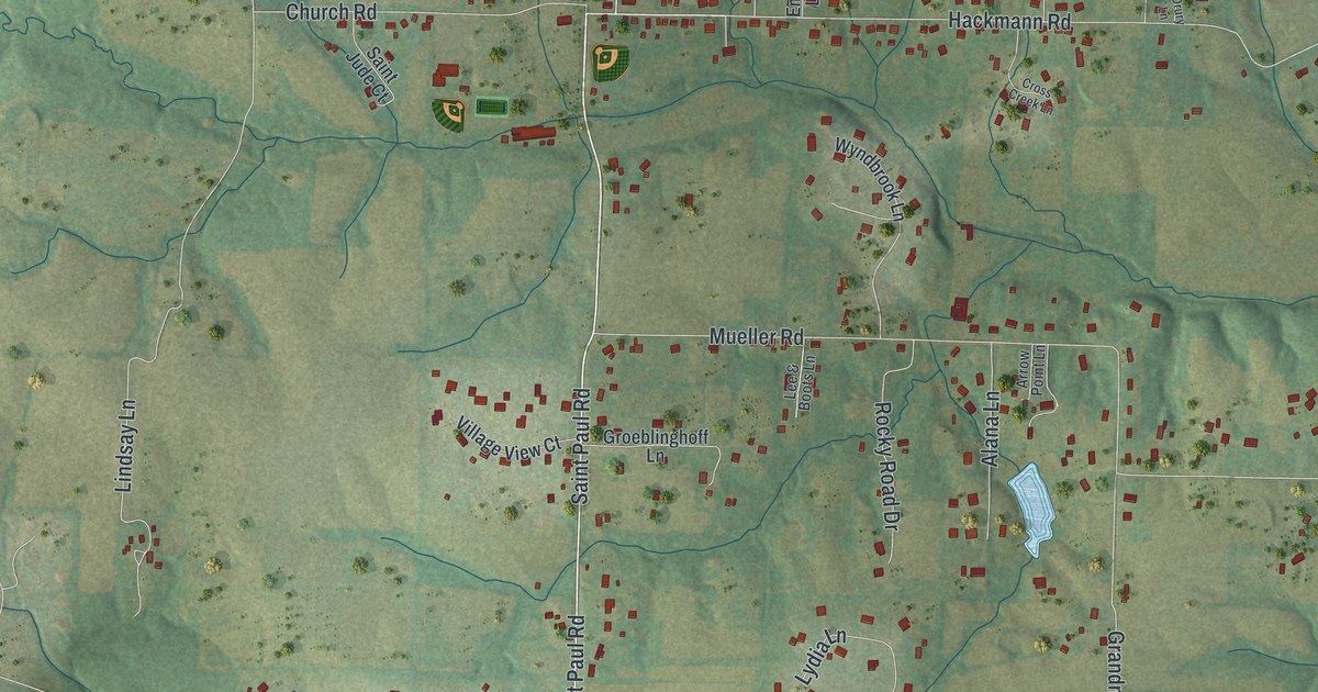
Street and place names on the St. Paul, Missouri map
These names are printed on the map of St. Paul, Missouri.
Places: Saint Paul City Hall and Saint Paul.
Streets and roads: Saint Paul Road, Hoff Road, Hoff Industrial Center, Hackmann Road, Mueller Road, Koch Road, Stonecastle Drive, Freymuth Road, Plantation Oaks Lane, Summit Estates Drive, Summit Ests, Vomund Road.
More street names, A to Z
Alana Lane, Alois Avenue, Anna Hoff Court, Arrow Point Lane, Ashley Manor Court, Barbara Drive, Bauer Lane, Bruder Court, Brushy Hill Court, Castle Creek Court, Church Road, Conklin Road, Cross Creek Lane, Dalbow Road, Donald Drive, Dove Nest Lane, Dove Valley Way, Drury Lane, Dyer Road, Eiger Court, Emils Lane, Everest Avenue, Grandmas Lane, Grandpas Lane, Groeblinghoff Lane, Hickory Hill Drive, Hidden Valley Lane, Hillwood Drive, Hoff Court, Jerome Henry Drive, Kemmar Court, Kilimanjaro Court, Lazy River Court, Lee & Boots Lane, Lindsay Lane, Long Oaks Lane, Lydia Lane, Mack Lane, Mammoth Drive, Mattahorn Court, Matteson Boulevard, Misty River Drive, Old Highway 79, Powder Drive, Prairie Crossing Drive, Rainier Court, Ravens Nest Court, Raymond Drive, Redwing Court, Rivercroft Court, Riverdale Manor Drive, Riverdale Park Drive, Riverdale Woods Circle, River Oak Court, River Rock Drive, Rocky Road Drive, Royal Oaks Drive, Ruebling Lane, Saint Jude Court, Schuman Drive, Shady River Drive, Sigmund Lane, Spring Court, Steepleview Court, Stonecastle Court, Stone Ridge Meadows Drive, Summer Court, Sweet River Drive, Treeline Drive, Village View Court, Woodleaf Court, Wyndbrook Lane.
See the St. Paul, Missouri map on a wall
The St. Paul map as an 18 x 24 inch print in a black frame.

This beautifully detailed map of St. Paul makes an attractive addition to your office, library, or den, and it can even be used to teach children the geography and history of the area. It also makes a great gift for anyone with St. Paul roots. When you’re done exploring, click here to get your copy of the St. Paul map.