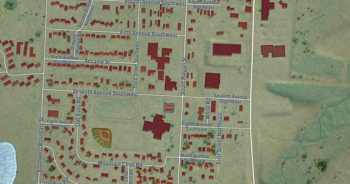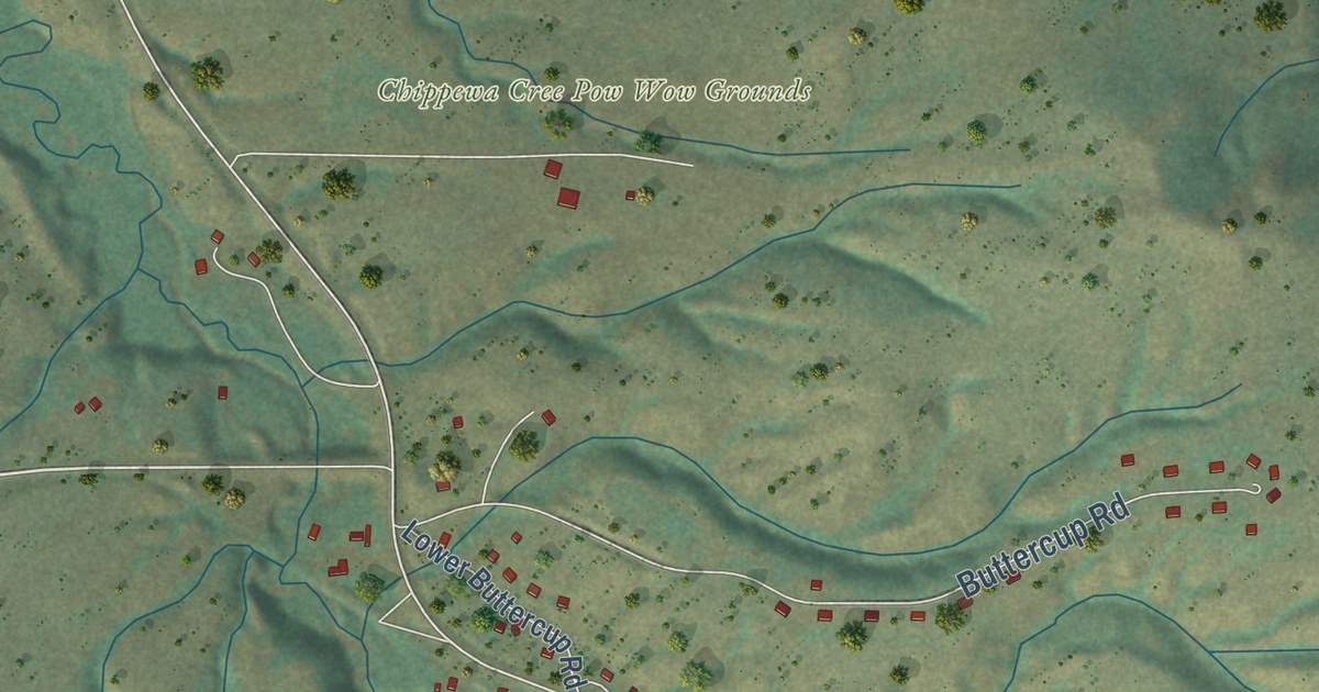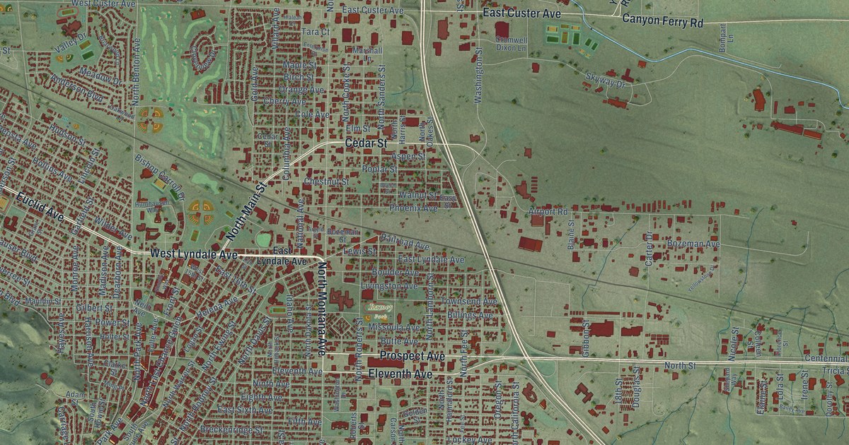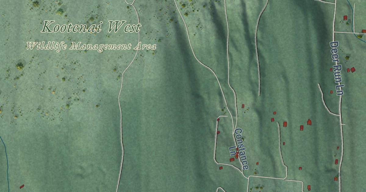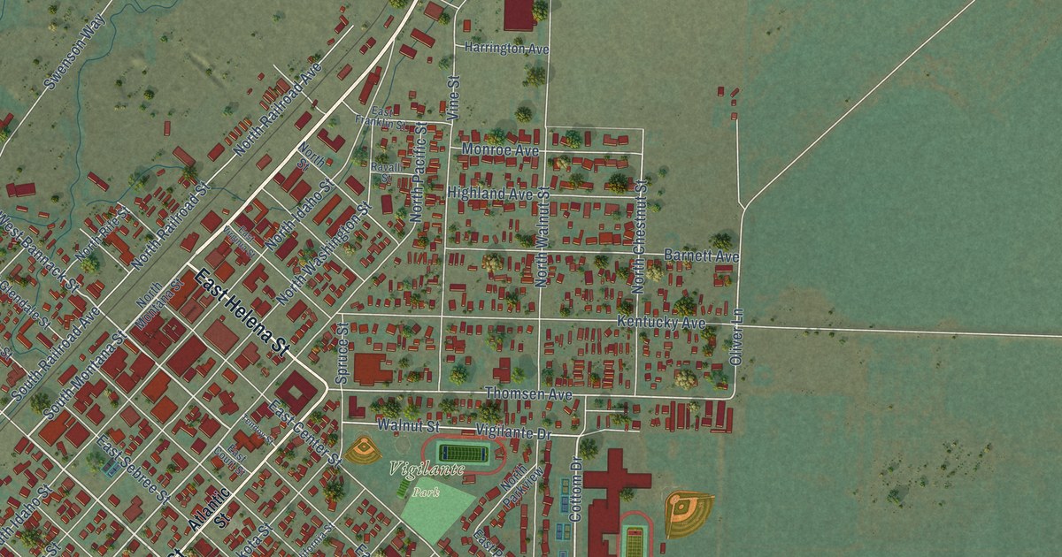
This beautifully detailed map of Dillon, Montana was created in 2026 using aerial imagery combined with modern topographical, census, street and landmark data. It’s a one-of-a-kind view of Dillon that combines accurate data with a vintage aesthetic. The map shows every building in its true location, many of the roads carry their names, and the shaded topographic relief shows the shape of the land.
Explore an aerial view of Dillon, Montana
On the map you’ll find Vigilante Park and Ray Lynch Park, along with East Helena Street, North Montana Street, South Atlantic Street, East Reeder Street, South Montana Street, South Utah Street, North Utah Street, Sacajawea Drive, East Bannack Street, Cottom Drive, and more. If you look closely you can even find your house accurately drawn in its correct location. Zoom in on the preview to look for yours.
Did you know this piece of Dillon, Montana history?
From the Montana Historical Society: "Dillon, the Beaverhead County seat, is named for Sidney Dillon, president of the Utah & Northern Railway, a branch of the Union Pacific Railroad, which was the first railroad into Montana in 1881."
Dillon is a city in Beaverhead County.
Take a closer look at the Dillon map
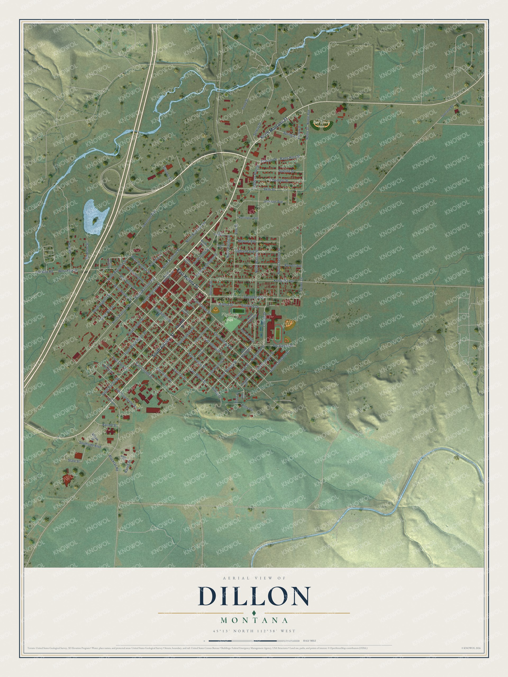
Street and place names on the Dillon, Montana map
These names are printed on the map of Dillon, Montana.
Places: Vigilante Park and Ray Lynch Park.
Streets and roads: East Helena Street, North Montana Street, South Atlantic Street, East Reeder Street, South Montana Street, South Utah Street, North Utah Street, Sacajawea Drive, East Bannack Street, Cottom Drive, South Pacific Street, Walnut Street.
More street names, A to Z
Atlantic Street, Barnett Avenue, Barrett Street, Blacktail Road, Cloudrest Street, East Center Street, East Chapman Street, East Clark Street, East Cornell Street, East Court Street, East Dillon Street, East Franklin Street, East Glendale Street, East Morse Street, East Normal Street, East Orr Street, East Parkview, East Poindexter Street, East Sebree Street, East Virginia Street, Elm Drive, Fairway Drive, Hall Road, Harrington Avenue, Highland Avenue, Hilltop Drive, Johnson Avenue, Kentucky Avenue, Madison Street, Monroe Avenue, Noble Avenue, Noble Street, North Chestnut Street, North Idaho Street, North Nevada Street, North Oregon Street, North Pacific Street, North Parkview, North Railroad Avenue, North Railroad Street, North Rife Street, North Street, North Walnut Street, North Washington Street, Oliver Lane, Oregon Street, Overland Road, Pond Street, Rams Horn Street, Ramshorn Street, Ranch Drive, Ravalli Street, Ridge Court, Selway Drive, Sinclair Street, Skihi Street, South Argenta Street, South Arizona Street, South Bozeman Street, South California Street, South Colorado Street, South Dakota Street, South Idaho Street, South Nevada Street, South Railroad Avenue, South Railroad Street, South Rife Street, Southside Boulevard, South Washington Street, South Wyoming Street, Spring Street, Spruce Street, State Street, Sunrise Street, Swenson Way, Tendoy Street, Ten Mile Road, Thomsen Avenue, Tobacco Root Street, Vigilante Drive, Vine Street, Vista Circle, Vista Drive, West Bannack Street, West Glendale Street, West Park Street, West Powell Street, West Reeder Street, West Sebree Street, Willow Street.
See the Dillon, Montana map on a wall
The Dillon map as an 18 x 24 inch print in a black frame.

This beautifully detailed map of Dillon makes an attractive addition to your office, library, or den, and it can even be used to teach children the geography and history of the area. It also makes a great gift for anyone with Dillon roots. When you’re done exploring, click here to get your copy of the Dillon map.