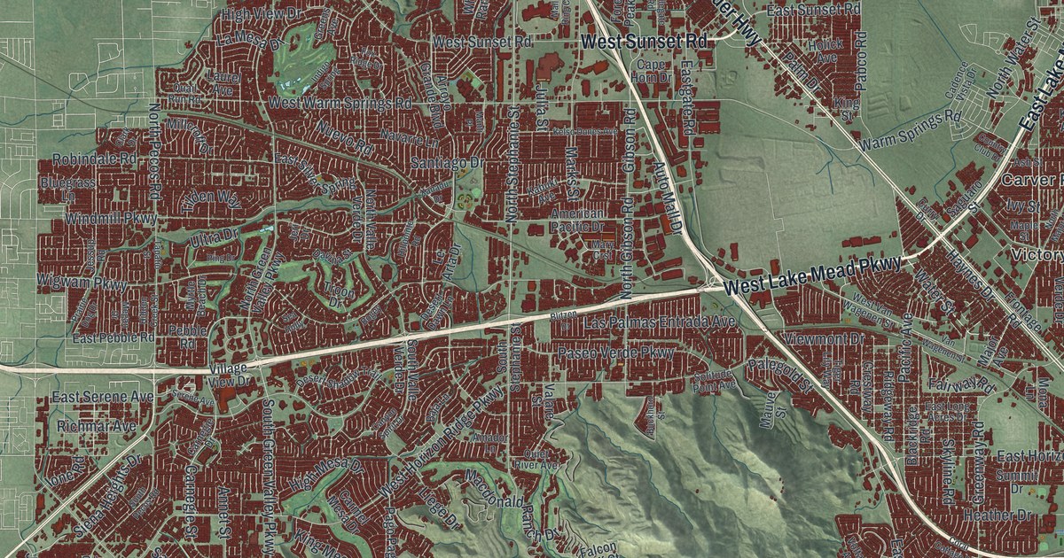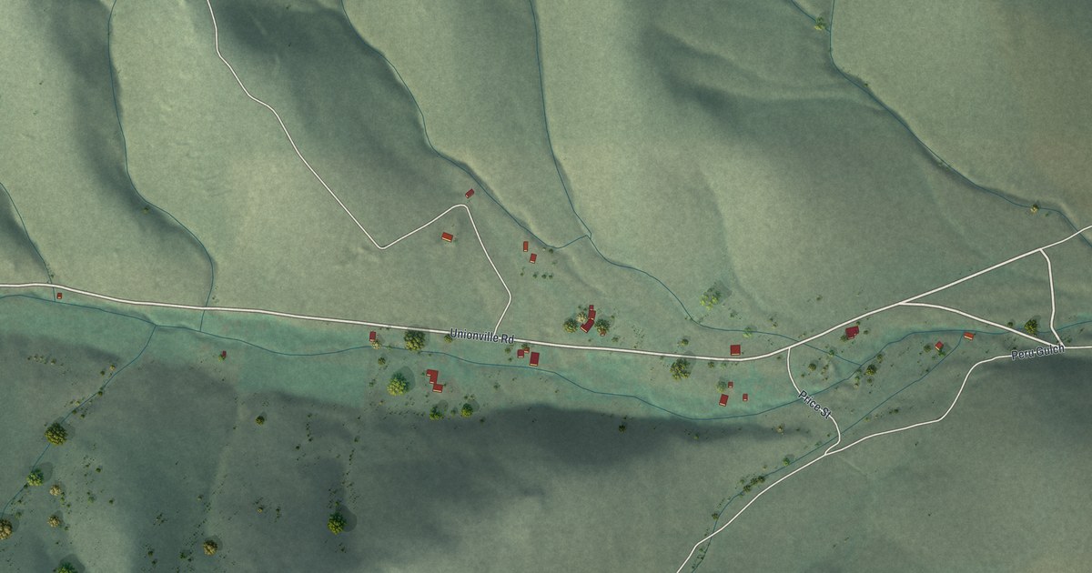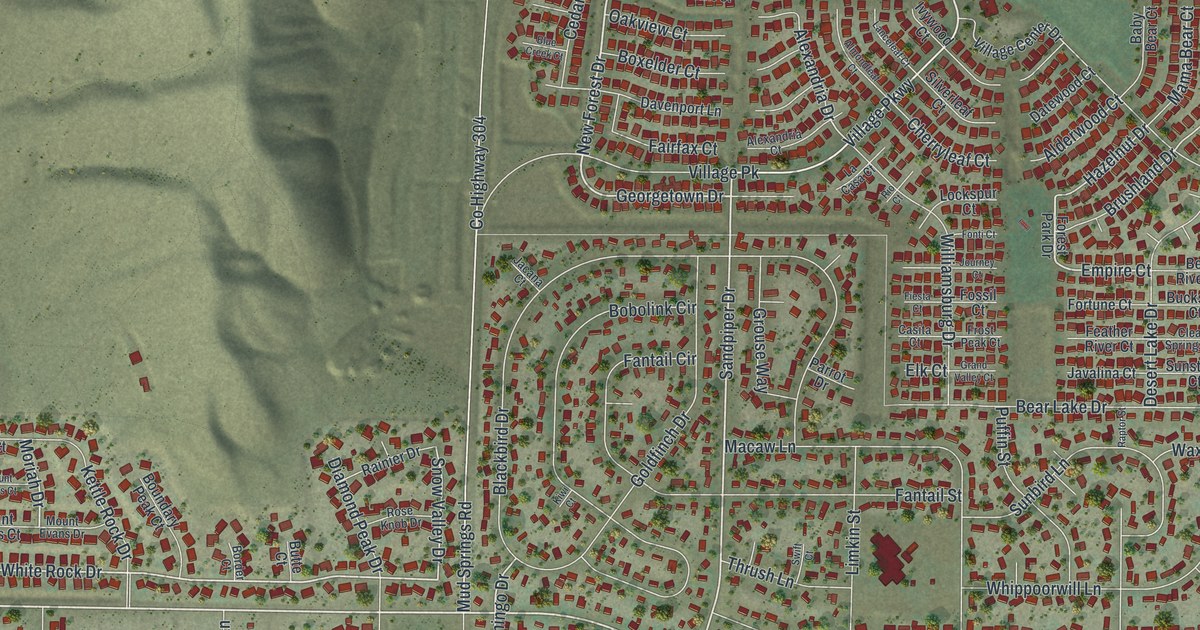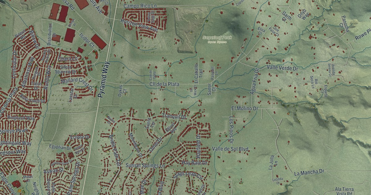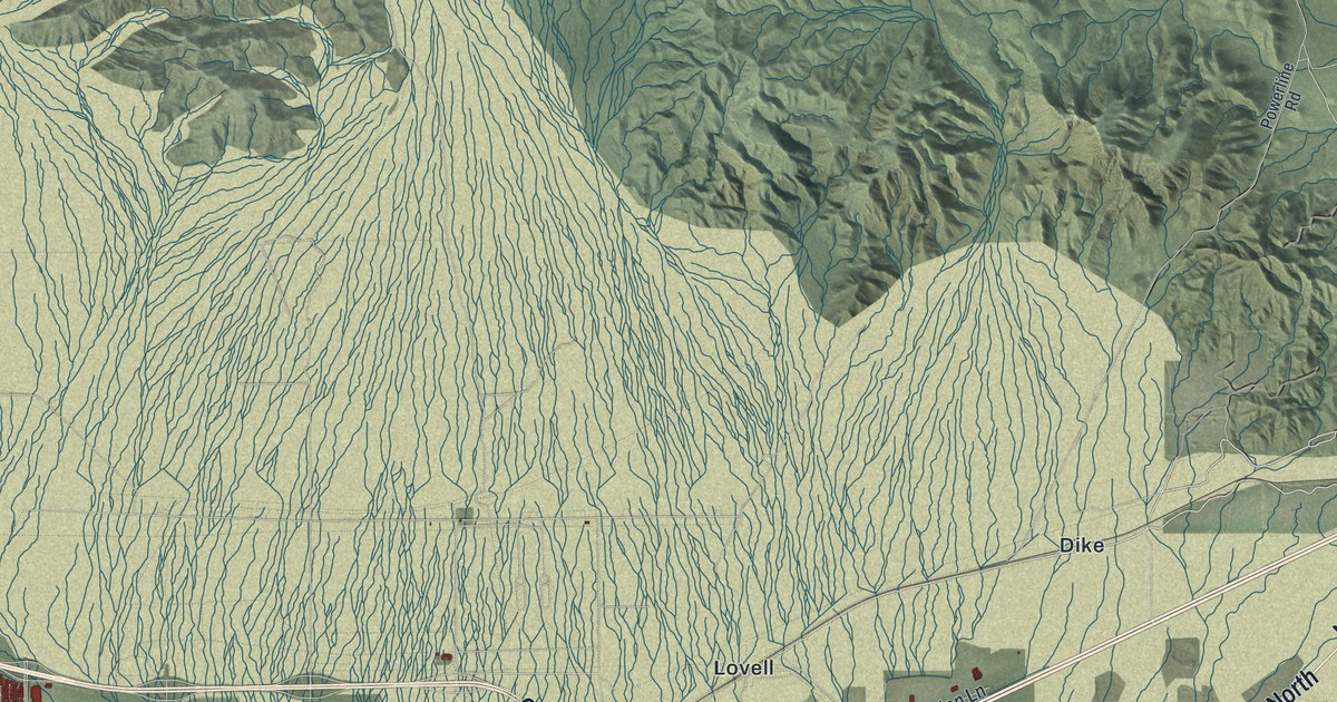
This beautifully detailed map of North Las Vegas, Nevada was created in 2026 using aerial imagery combined with modern topographical, census, street and landmark data. It’s a one-of-a-kind view of North Las Vegas that combines accurate data with a vintage aesthetic. The map shows every building in its true location, many of the roads carry their names, and the shaded topographic relief shows the shape of the land.
Explore an aerial view of North Las Vegas, Nevada
On the map you’ll find North Las Vegas City Hall, Apex, Dike, Lovell, Valley, Wann, and Clark County 215, along with Las Vegas Boulevard North, West Cheyenne Avenue, North Rancho Drive, East Craig Road, East Cheyenne Avenue, and more. If you look closely you can even find your house accurately drawn in its correct location. Zoom in on the preview to look for yours.
Did you know this piece of North Las Vegas, Nevada history?
From Onlinenevada.org: "While Barrett and John Murphy served as Army Air Corps instructors in Arizona, Florence Murphy ran the field for the war's duration."
Take a closer look at the North Las Vegas map
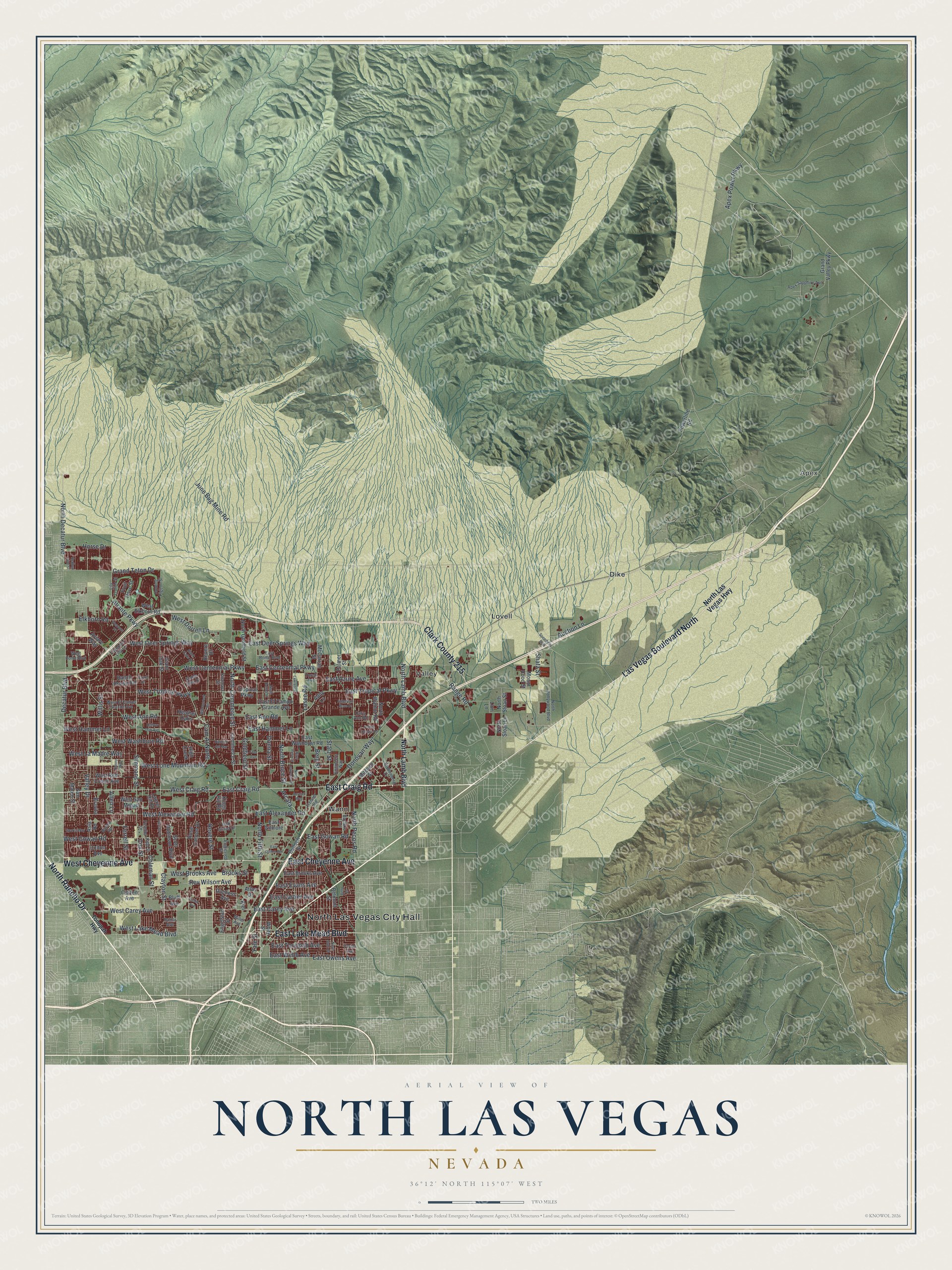
Street and place names on the North Las Vegas, Nevada map
These names are printed on the map of North Las Vegas, Nevada.
Places: North Las Vegas City Hall, Apex, Dike, Lovell, Valley and Wann.
Streets and roads: Las Vegas Boulevard North, West Cheyenne Avenue, North Rancho Drive, East Craig Road, Clark County 215, East Cheyenne Avenue, East Lake Mead Boulevard, Clayton Street, North Lamb Boulevard, Coleman Street, East Owens Avenue, East Ann Road.
More street names, A to Z
Addy Lane, Aerojet Way, Aliante Parkway, Allen Lane, American Rose Drive, Apex Power Parkway, Apex Sapphire Avenue, Arcata, Asia Road, Atlas Drive, Auction Lane, Aviary Way, Azure Drive, Balzar Avenue, Baylake Trail, Bello Drive, Belmont Street, Berg Street, Black Oaks Street, Blue Rose Street, Bluff Avenue, Bravita, Brooks Street, Bulloch Street, Burma Road, Cam Al Norte, Carla Ann Road, Citizen Avenue, Colton Avenue, Commerce Street, Cox Street, Decatur Boulevard, Donna Street, Donovan Way, Duchess Avenue, East Alexander Road, East Azure Avenue, East Brooks Avenue, East Carey Avenue, East Cartier Avenue, East Centennial Parkway, East Colton Avenue, East Deer Springs Way, East El Campo Grande Avenue, East Evans Avenue, East Gilmore, East Gowan Road, East Hammer Lane, East Rome Boulevard, East Tonopah Avenue, East Tropical Parkway, East Washburn Road, East Webb Avenue, Elkhorn Road, Engelstad Street, Engineers Way, Englested Street, Ferrell Street, Frad Avenue, Frehner Road, Fruit Dove Street, Fuselier Drive, Giant Oak Street, Goldfield Street, Grand Teton Drive, Grand Valley Parkway, Heather Oaks, Helen Avenue, High Creek, Hollow Oak Avenue, Homing Pigeon Street, Horse Drive, Iverson Lane, June Bug Mine Road, Kenny Way, Kidd Street, Kiel, Kings Hill Road, Kitamaya Street, Laurel Hill Drive, Lavender Lilly Lane, Lawrence Street, Lily Trotter Street, Linn Lane, Losee Road, McCarran Street, Miller Avenue, Mitchell Street, Mount Hood Street, North Bruce Street, North Commerce Street, North Decatur Boulevard, North Donna Street, North Fifth Street, North Goldfield Street, North Hollywood Boulevard, North Las Vegas Highway, North Lawrence Street, North Pecos Road, North Sloan Lane, North Sloan Street, North Statz Street, North Walnut Road, Oak Island Drive, Palmer Street, Powerline Road, Prairie Orchid Road, Ranch House Road, Rancho del Mar, Range Road, Redbud Vine Street, Revere Drive, Revere Street, Rev Wilson Avenue, Rose Canyon Drive, San Mateo Street, Scott Robinson Boulevard, Shatz Street, Simmons Street, Sparta Way, Speedway Boulevard, Stable Glen Drive, Statz Street, Taylor Avenue, Tonopah Highway, Torch Avenue, Tropical Parkway, Valley Drive, Vandenberg Drive, Weavers Place, West Alexander Road, West Ann Road, West Brooks Avenue, West Carey Avenue, West Centennial Parkway, West Craig Road, West Deer Springs Way, West Dorrell Lane, West El Campo Grande Avenue, West Elkhorn Road, West Gowan Road, West Hammer Lane, West Lake Mead Boulevard, West La Madre Way, West Lone Mountain Road, West Red Coach Avenue, West Rome Boulevard, West San Miguel, West Tropical Parkway, West Washburn Road, White Street, Willis Street, Willowcreek Road, Yale Street.
See the North Las Vegas, Nevada map on a wall
The North Las Vegas map as an 18 x 24 inch print in a black frame.

This beautifully detailed map of North Las Vegas makes an attractive addition to your office, library, or den, and it can even be used to teach children the geography and history of the area. It also makes a great gift for anyone with North Las Vegas roots. When you’re done exploring, click here to get your copy of the North Las Vegas map.