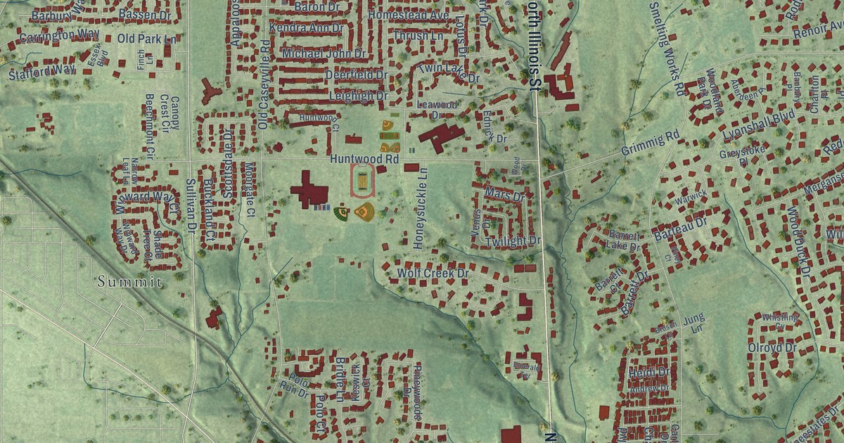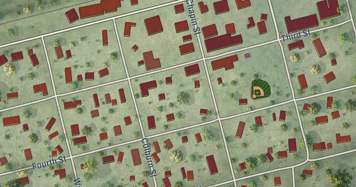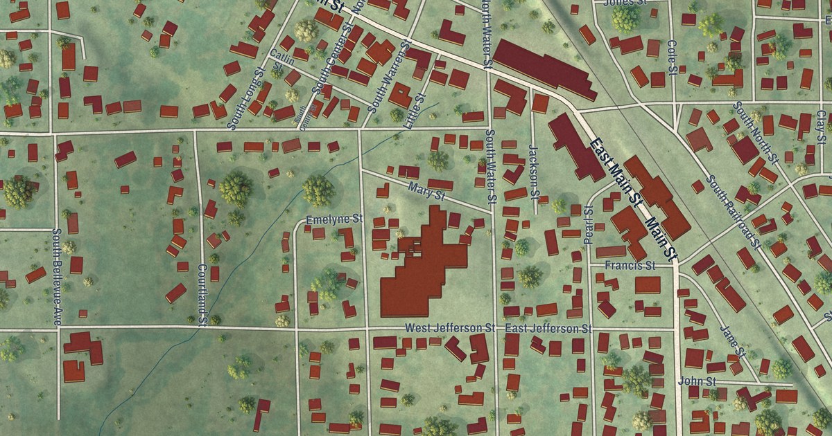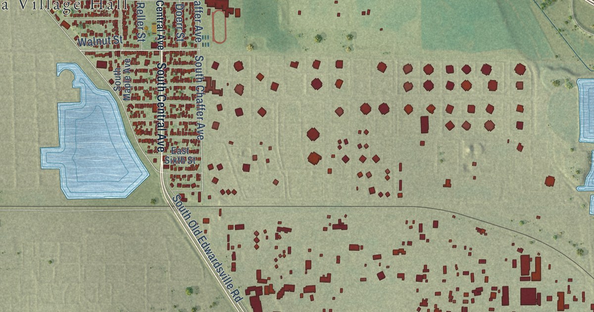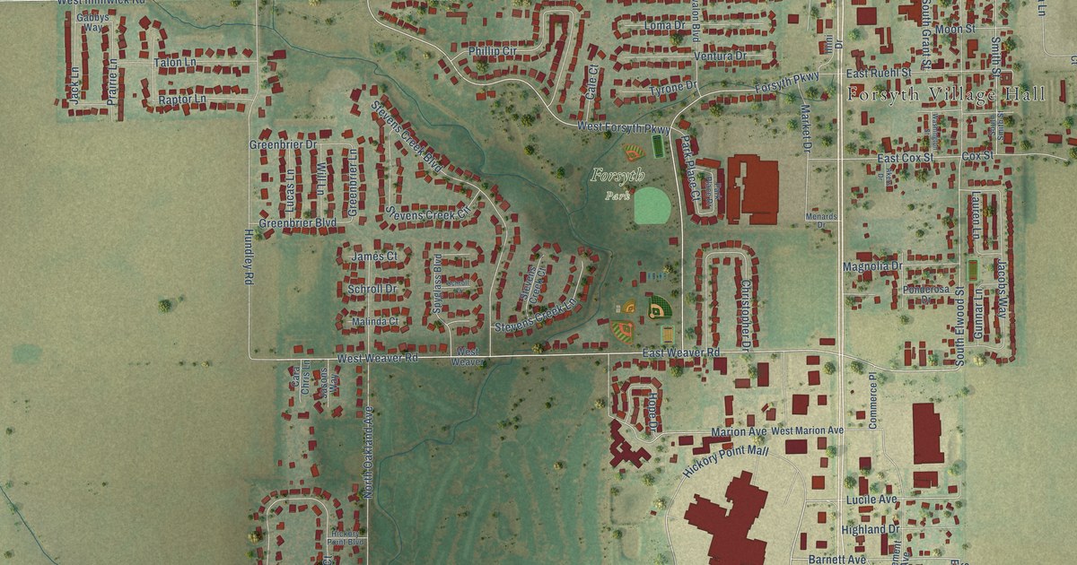
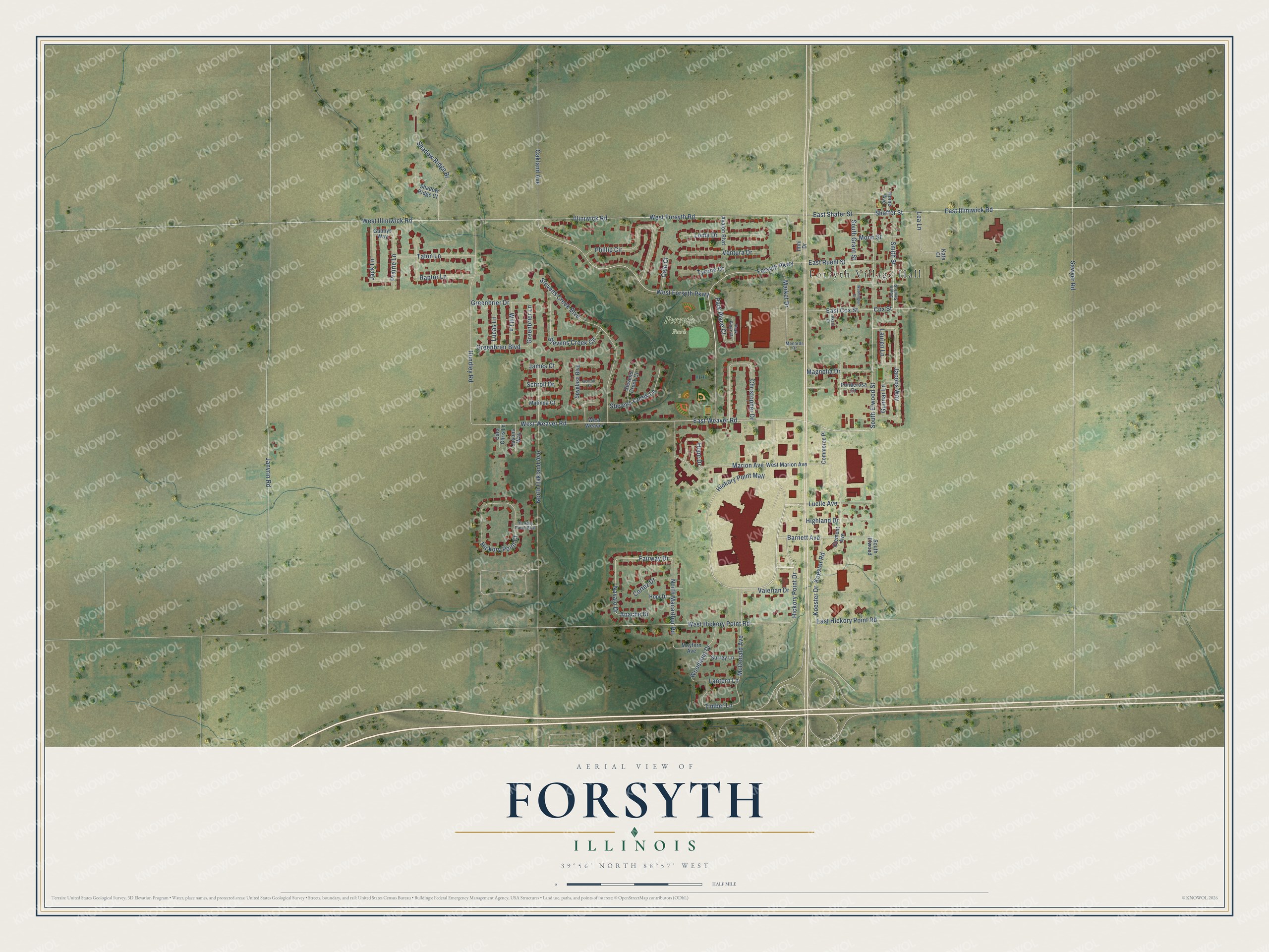
This beautifully detailed map of Forsyth, Illinois was created in 2026 using aerial imagery combined with modern topographical, census, street and landmark data. It’s a one-of-a-kind view of Forsyth that combines accurate data with a vintage aesthetic. The map shows every building in its true location, many of the roads carry their names, and the shaded topographic relief shows the shape of the land.
Explore an aerial view of Forsyth, Illinois
On the map you’ll find Forsyth Village Hall, Forsyth Park, and Hickory Point Mall, along with Hickory Point Drive, West Forsyth Parkway, Lucile Avenue, Barnett Avenue, West Forsyth Road, Forsyth Parkway, South Elwood Street, Fairway Drive, Navajo Drive, and more. If you look closely you can even find your house accurately drawn in its correct location. Zoom in on the preview to look for yours.
Did you know this piece of Forsyth, Illinois history?
From the Forsyth Public Library: "In 1864, Edward O. Smith platted the original town of 8 blocks, naming it Forsyth in honor of Colonel Robert Forsyth, a local landowner and the first general freight agent for the Illinois Central Railroad."
Take a closer look at the Forsyth map
Street and place names on the Forsyth, Illinois map
These names are printed on the map of Forsyth, Illinois.
Places: Forsyth Village Hall and Forsyth Park.
Streets and roads: Hickory Point Mall, Hickory Point Drive, West Forsyth Parkway, Lucile Avenue, Barnett Avenue, West Forsyth Road, Forsyth Parkway, South Elwood Street, Fairway Drive, Navajo Drive, East Weaver Road, West Weaver Road.
More street names, A to Z
Akers Drive, Apache Drive, Avalon Boulevard, Cale Court, Cara Chris Lane, Christopher Drive, Clement Avenue, Commerce Place, Cortez Drive, Cox Street, East Cox Street, East Hickory Point Road, East Illiniwick Road, East Ruehl Street, East Shafer Street, Gabbys Way, Greenbrier Boulevard, Greenbrier Drive, Greenbrier Lane, Gunnar Lane, Hickory Point Boulevard, Hickory Point Court, Highland Drive, Home Avenue, Hope Drive, Hopi Drive, Hundley Road, Illini Drive, Illiniwick Road, Jack Lane, Jacobs Way, James Court, Janvrin Road, Jasons Way, Kate Court, Koester Drive, Koester Road, Lantern Lane, Lauren Lane, Lea Lane, Loma Drive, Lucas Lane, Magnolia Drive, Malinda Court, Marion Avenue, Market Drive, Mayfern Avenue, McDonald Avenue, Menards Drive, Moon Street, North Macarthur Road, North Oakland Avenue, Oakland Avenue, Park Place Court, Park Place Drive, Phillip Circle, Ponderosa Drive, Prairie Lane, Raptor Lane, Sawyer Road, Schroll Court, Schroll Drive, Shadow Ridge Bl, Shadow Ridge Court, Shaffer Street, Smith Street, South Elwood, South Grant Street, South Smith Street, Spyglass Boulevard, Stevens Creek Boulevard, Stevens Creek Circle, Stevens Creek Court, Stevens Creek Lane, Surrey Lane, Talon Lane, Timber Lane, Tyrone Drive, Valerian Drive, Ventura Drive, Washington Street, West Hickory Point Road, West Illiniwick Road, West Marion Avenue, West Weaver, Will Lane, Woodland Drive.
See the Forsyth, Illinois map on a wall
The Forsyth map as an 18 x 24 inch print in a black frame.

This beautifully detailed map of Forsyth makes an attractive addition to your office, library, or den, and it can even be used to teach children the geography and history of the area. It also makes a great gift for someone who left Forsyth and still calls it home. When you’re done exploring, click here to get your copy of the Forsyth map.