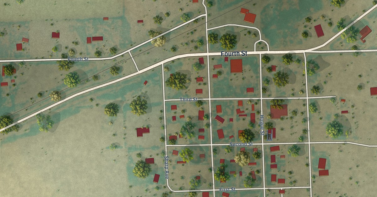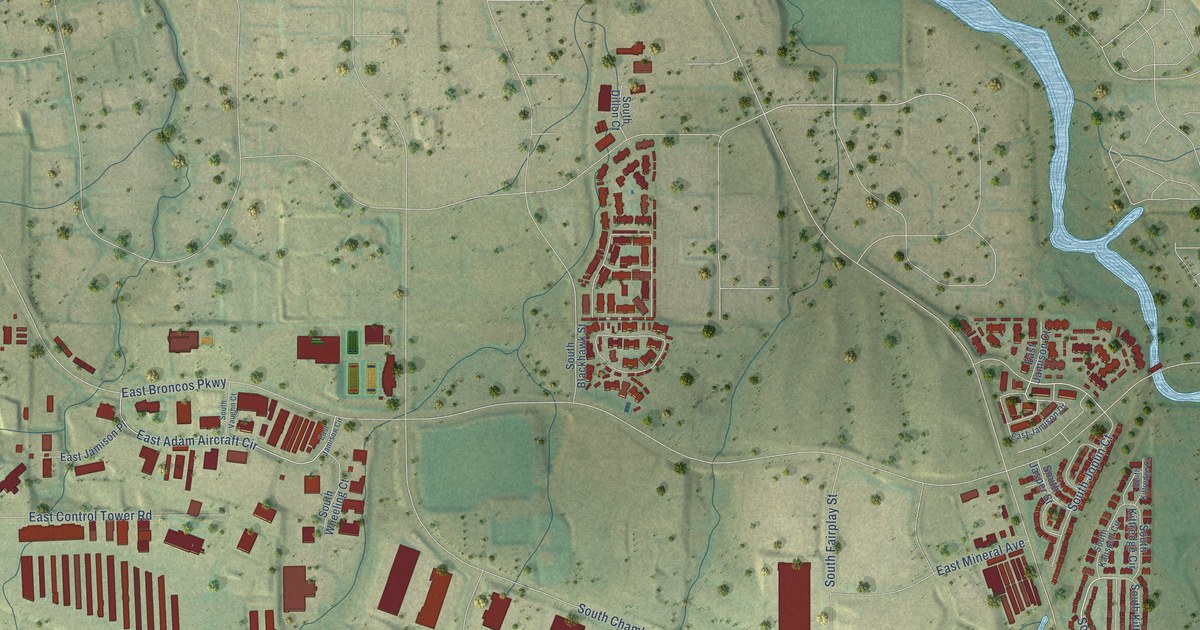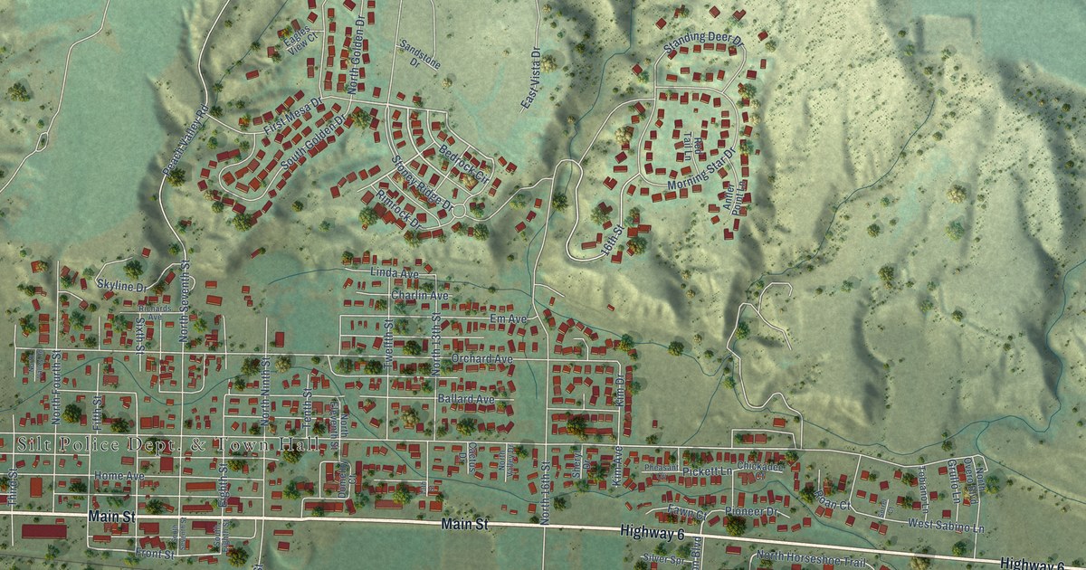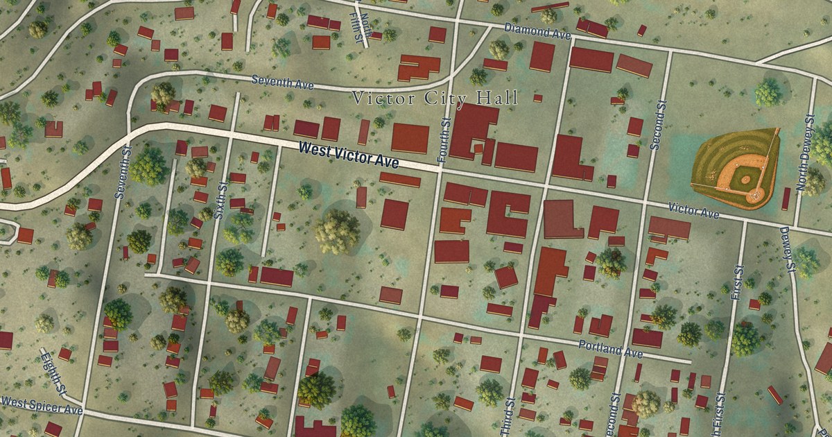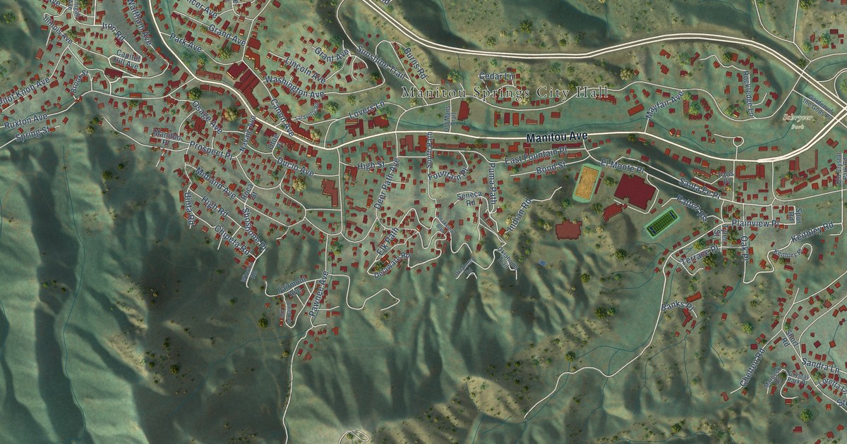
This beautifully detailed map of Manitou Springs, Colorado was created in 2026 using aerial imagery combined with modern topographical, census, street and landmark data. It’s a one-of-a-kind view of Manitou Springs that combines accurate data with a vintage aesthetic. The map shows every building in its true location, many of the roads carry their names, and the shaded topographic relief shows the shape of the land.
Explore an aerial view of Manitou Springs, Colorado
On the map you’ll find Manitou Springs City Hall, Schryver Park, Plainview Place, Santa Fe Place, and Shoshone Place, along with Manitou Avenue, Midland Expressway, Pine Ridge Avenue, Iron Road, Ruxton Avenue, Keithley Road, Puma Path, and more. If you look closely you can even find your house accurately drawn in its correct location. Zoom in on the preview to look for yours.
Did you know this piece of Manitou Springs, Colorado history?
From the Colorado A Guide to the Highest State: "A cog railroad built to the summit of Pikes Peak in 1890 and the construction of street car lines to Manitou Springs brought many visitors."
Take a closer look at the Manitou Springs map
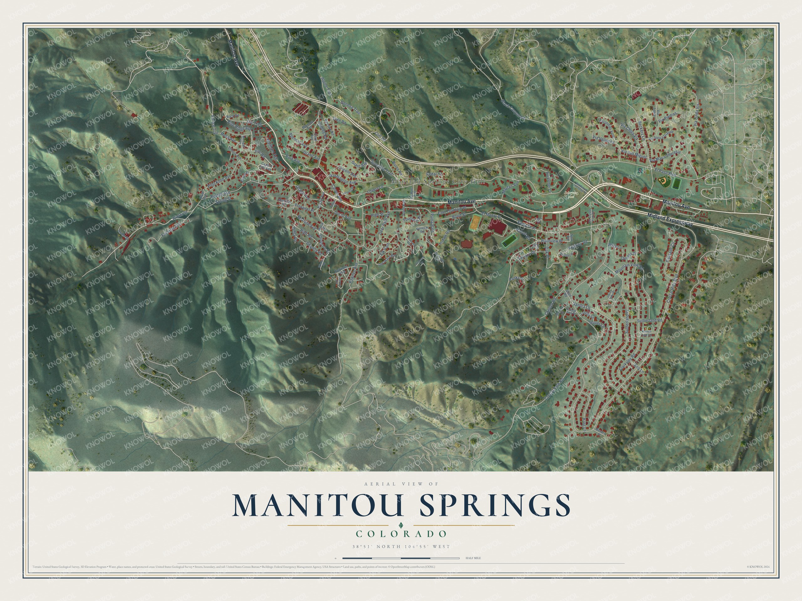
Street and place names on the Manitou Springs, Colorado map
These names are printed on the map of Manitou Springs, Colorado.
Places: Manitou Springs City Hall and Schryver Park.
Streets and roads: Manitou Avenue, Midland Expressway, Pine Ridge Avenue, Iron Road, Ruxton Avenue, Plainview Place, Keithley Road, Santa Fe Place, Puma Path, Shoshone Place, Sandra Lane, Cliff Road.
More street names, A to Z
Alpine Trail, Amethyst Avenue, Banks Place, Beckers Lane, Bevers Place, Black Canyon Road, Bluff Avenue, Bond Street, Brook Street, Burns Road, Canon Avenue, Capitol Hill Avenue, Cave Avenue, Cedar Lane, Chelten Road, Chipeta Road, Clarksley Road, Crystal Hills Boulevard, Crystal Park Place, Crystal Park Road, Deer Path Avenue, Delaware Road, Deneta Drive, Duclo Avenue, Dudley Road, East Fountain Place, Elk Path, El Monte Place, El Paso Boulevard, Escondido Valle, Fairmont Avenue, Fairview Avenue, Fountain Place, Garden of the Gods Place, Geneva Trail, Glen Road, Grand Avenue, Grant Avenue, High Road, High Street, Hydro Street, Illinois Avenue, Indian Oaks Place, Indian Road, Karen Lee Lane, Keithley Place, Kreg Lane, Kris Lane, Lafayette Road, Lincoln Avenue, Loretta Lane, Lovers Lane, Maniton Place, Manitou Terrace, Marbeck Road, Mayfair Avenue, Mesa Avenue, Michigan Avenue, Midland Avenue, Mountain View Road, Narrows Road, Navajo Avenue, Oak Place, Oklahoma Road, Oklahoma Trail, Old Crystal Park Road, Old Mans Trail, Osage Avenue, Otoe Place, Palisade Circle, Park Avenue, Patton Road, Pawnee Avenue, Peakview Boulevard, Pilot Knob Avenue, Prospect Place, Roca Street, Rockledge Lane, Rock Road, Seneca Road, Short Road, South Path, Spencer Avenue, Spring Street, Spruce Trail, Spur Road, Stover Lane, Sunshine Trail, Sutherland Place, Sutherland Road, Taos Place, Terrace Place, Tyler Street, Uinta Road, Ute Trail, Via Chula Vis, Via Linda Vis, Via Loma, Via Maria Theresia, Via Piedras, Via San Miguel, Via Sierra Grande, Via Vallecito, Waltham Avenue, Washington Avenue, Willa Lane, Winona Road, Winter Street.
See the Manitou Springs, Colorado map on a wall
The Manitou Springs map as an 18 x 24 inch print in a black frame.

This beautifully detailed map of Manitou Springs makes an attractive addition to your office, library, or den, and it can even be used to teach children the geography and history of the area. It also makes a great gift for anyone who grew up in Manitou Springs or moved away. When you’re done exploring, click here to get your copy of the Manitou Springs map.