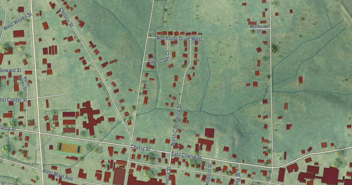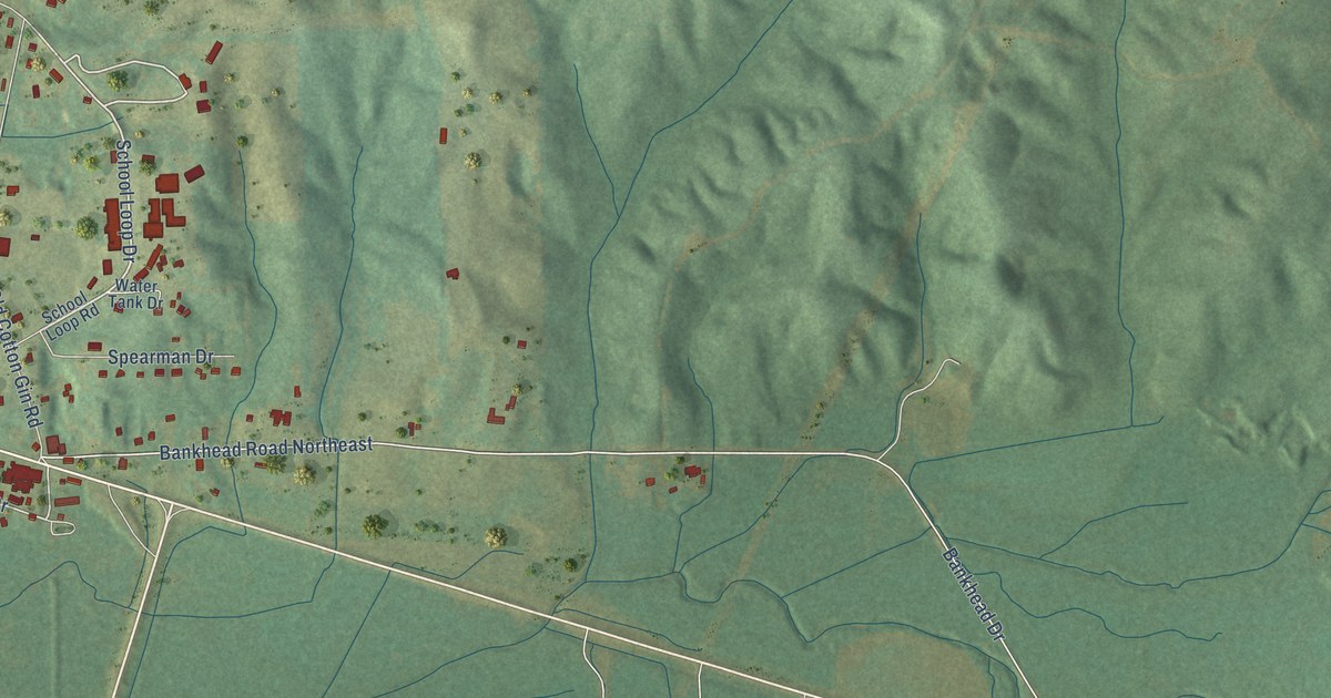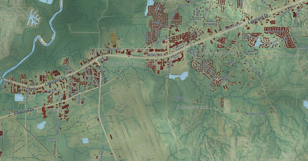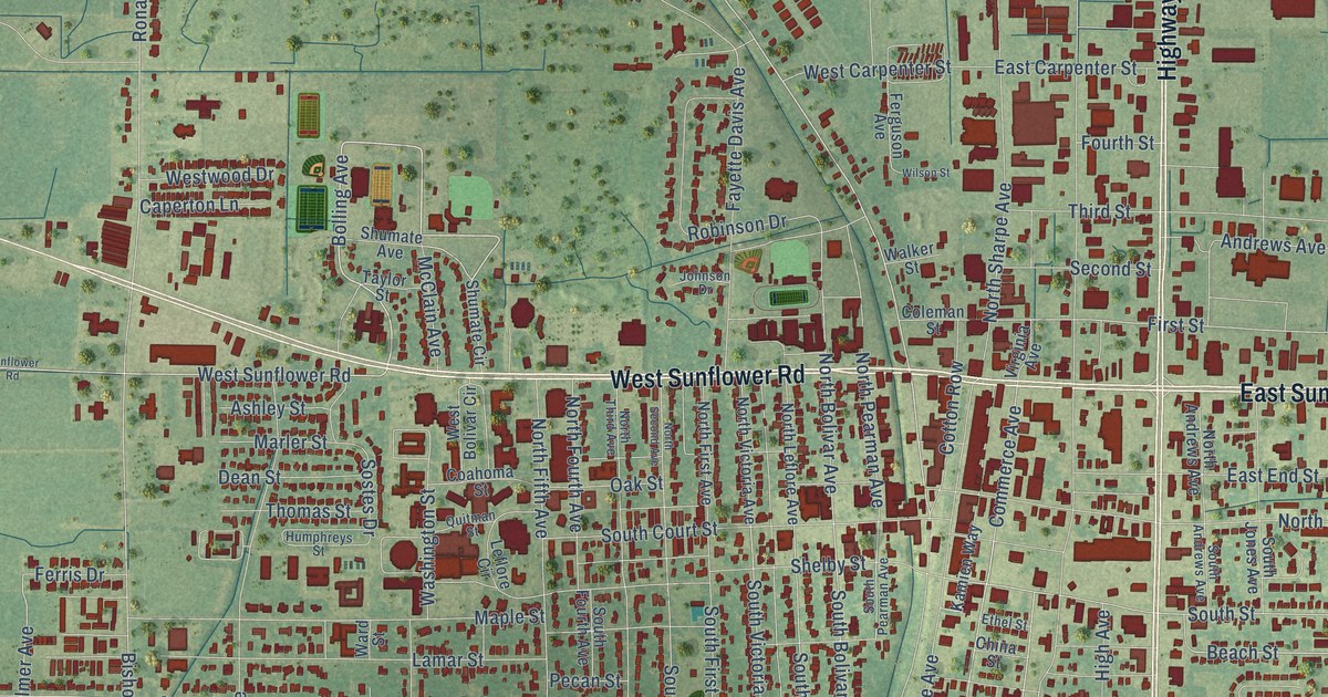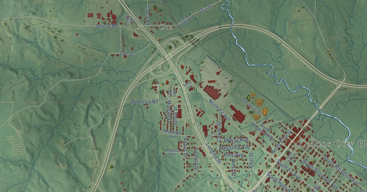
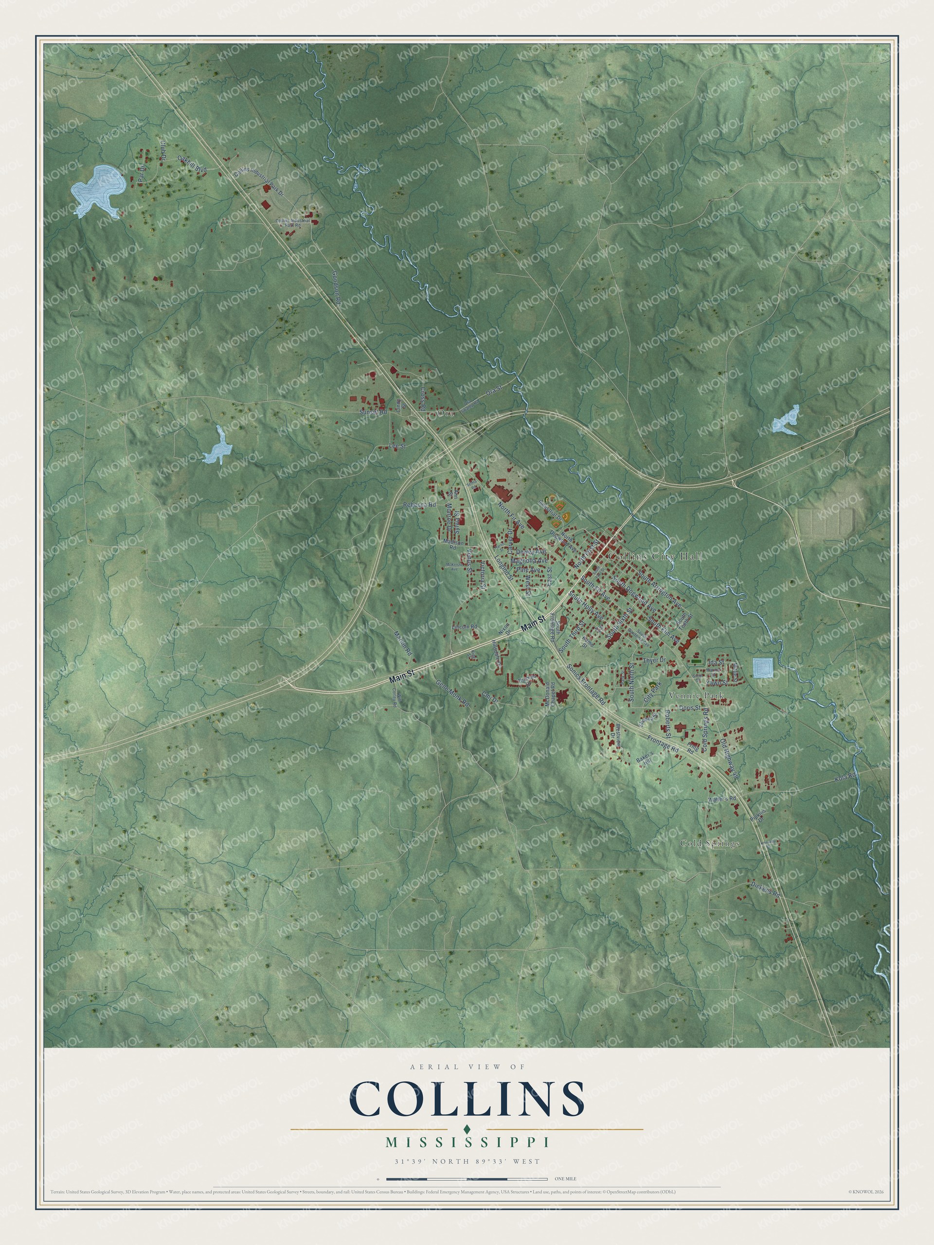
This beautifully detailed map of Collins, Mississippi was created in 2026 using aerial imagery combined with modern topographical, census, street and landmark data. It's a modern aerial view of Collins in Covington County, Mississippi, that combines modern data with a vintage aesthetic. The roads feature printed names, and if you look closely you can find your exact house accurately shown in its correct location.
Explore an aerial view of Collins, Mississippi
On this map you'll find Collins City Hall, Cold Springs, Ora, Vennie Park, Main Street, South Ninth Street, South Holly Avenue, Doris Street, Goodson Road, South Sixth Street, Old Highway 49, Oakhill Boulevard, and more. Each red shape is a building, so zoom in on the preview and look for yours.
Every town has a first chapter, and Collins is no exception. The record at mississippiencyclopedia.org puts it this way: "Gerald McRaney, who has often portrayed southern characters in television and film and is perhaps best known for his starring role in the television sitcom Major Dad , was born in Collins in 1947."
Collins is a city in Covington County. The Census Bureau counted 2,342 people here in 2020.
Take a closer look at the Collins map
Names on this map
These names are printed on this map.
Places: Collins City Hall, Cold Springs, Ora, Vennie Park and City Park.
Streets and roads: Main Street, South Ninth Street, South Holly Avenue, Doris Street, Goodson Road, South Sixth Street, Old Highway 49, Oakhill Boulevard, Ida Street, South Fir Avenue, Cold Springs Road, South Arrington Avenue.
More street names, A to Z
Ann Street, Baker's Hill, Carver Drive, Cindy Street, Club Drive, Cmj Drive, Collins Industrial Park Drive, Collins Industrial Park Road, Cross Road, Dewey Avenue, Dickens Road, East Street, Frntg Road, Frontage Road, Gene Monk Road, Harris Street, Hillsdale Drive, Industrial Drive, Ivy Avenue, Kennedy Drive, King Street, Kola Road, Komo Street, Lee Street, Lincoln Road, Longino Street, Madison Road, Magnolia Avenue, Marion Road, Marion Street, McDonald Chapel Road, McKenzie Avenue, Mittie Street, Monroe Drive, Nixon Drive, North Dogwood Avenue, North Fir Avenue, North First Street, Ora Street, Ora Swamp Road, Par Drive, Park Street, Pine Avenue, Pipkins Drive, Rebecca Road, Roberts Street, Selma Road, Shonna Street, Smith Street, Sonics Frontage Road, South Dogwood Avenue, South Elm Avenue, South First Street, South Frontage Road, South Gardenia Avenue, South Tenth Street, South Third Street, Sunset Road, Sylvia Street, Thomas Drive, Thyer Drive, Venus Street, Victoria Street, Walter's Road, West Street, Westview Drive, Will Corley Road, Yawn Street.
Created by KNOWOL in 2026. The buildings are small red shapes, the roads carry their printed names, and shaded relief shows the shape of the land. The title panel reads "AERIAL VIEW OF COLLINS MISSISSIPPI" with 31°39' NORTH 89°33' WEST.
Hang it in the hallway, the office or the cabin, or give it to someone who left Collins and still calls it home. Open the preview and look for a street you know. See sizes and frames for the Collins map.