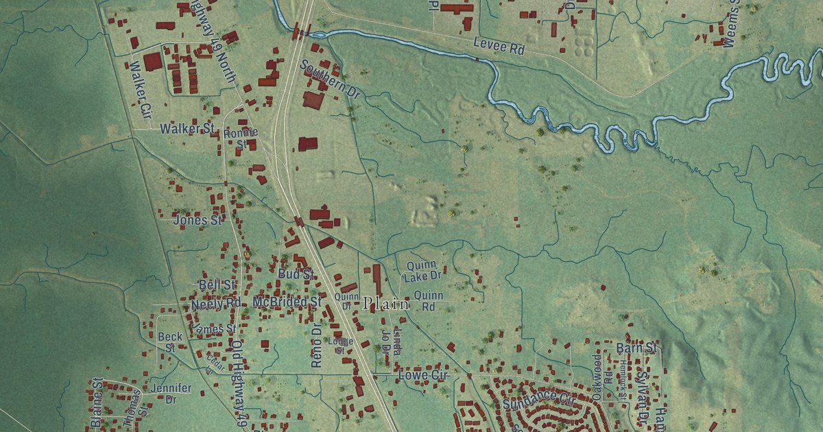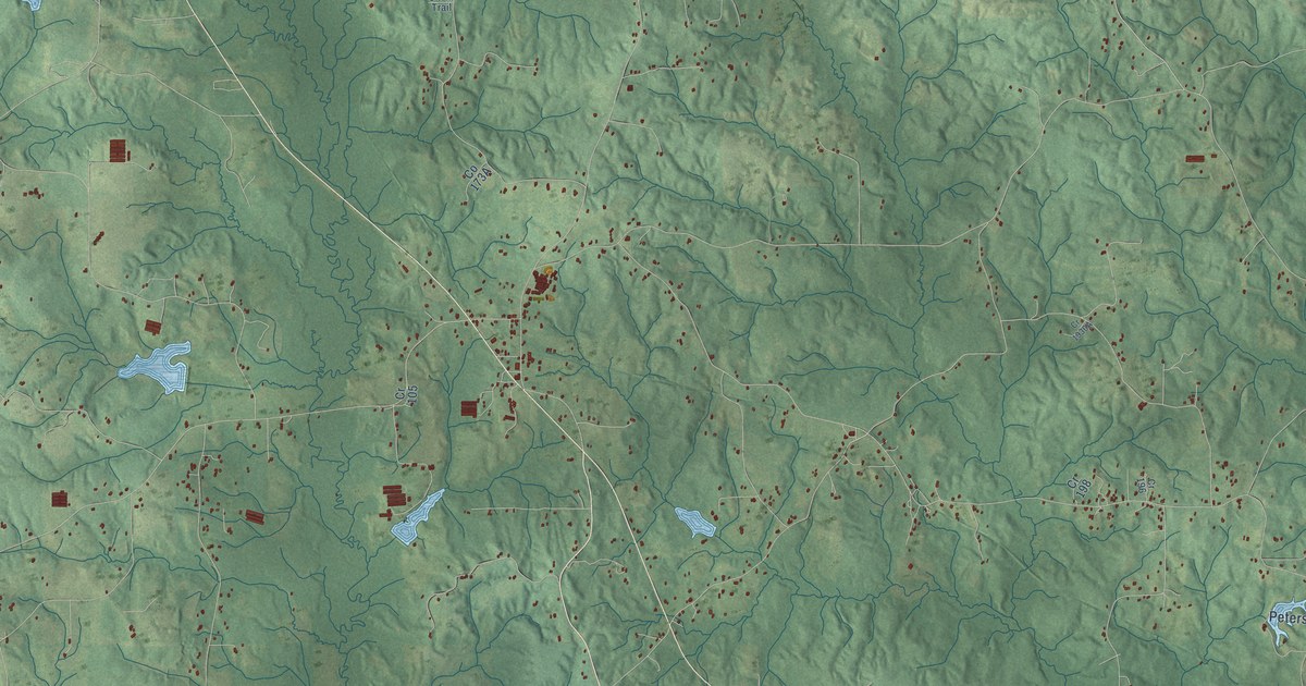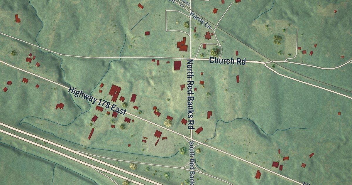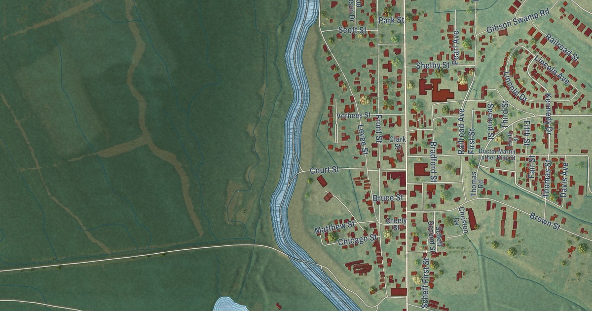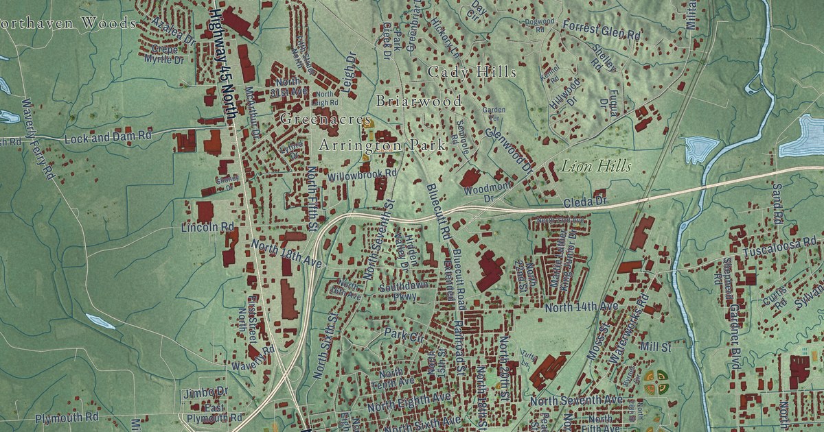
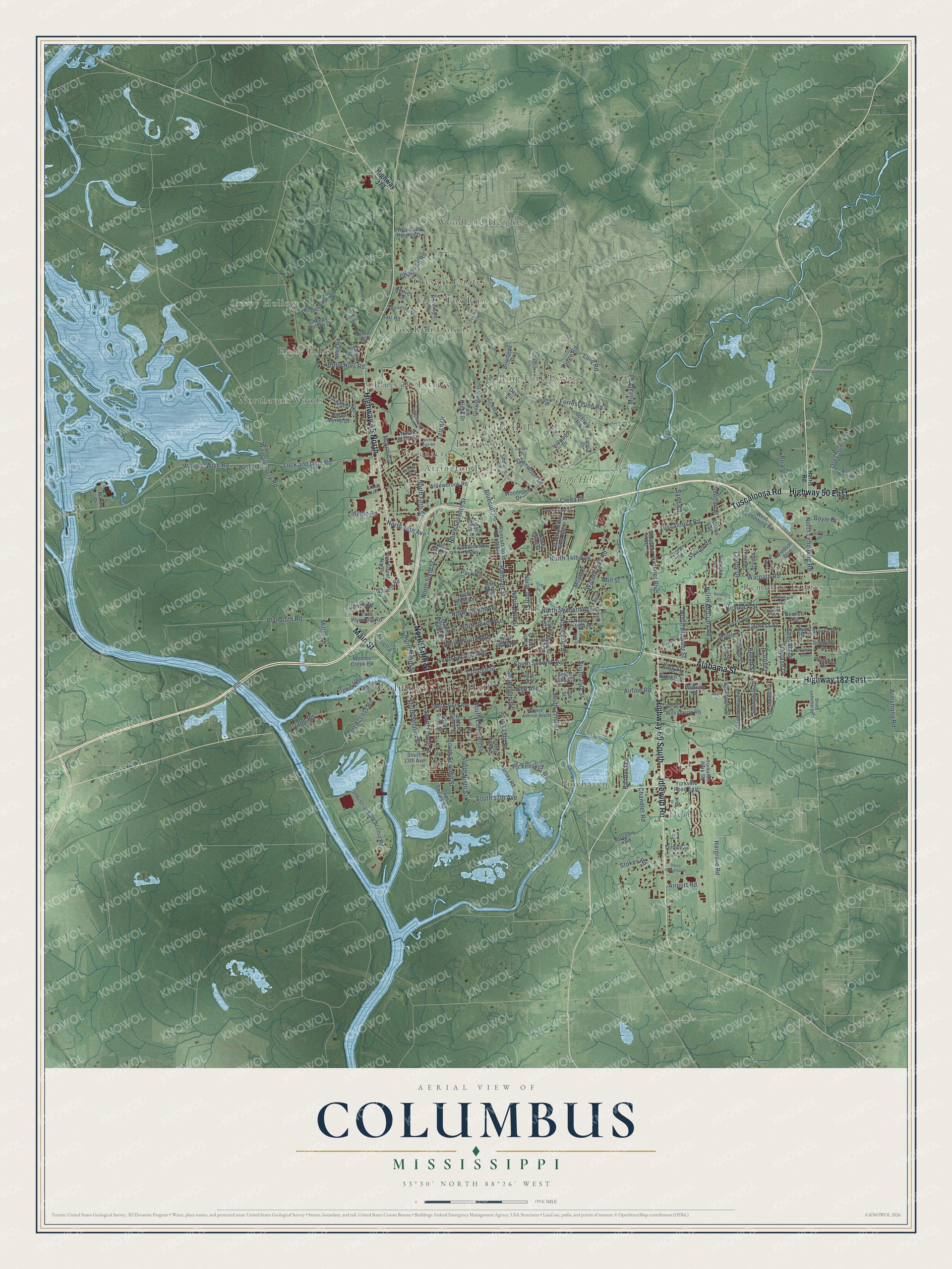
This beautifully detailed map of Columbus, Mississippi was created in 2026 using aerial imagery combined with modern topographical, census, street and landmark data. It’s a one-of-a-kind view of Columbus that combines accurate data with a vintage aesthetic. The map shows every building in its true location, many of the roads carry their names, and the shaded topographic relief shows the shape of the land.
Explore an aerial view of Columbus, Mississippi
On the map you’ll find Columbus City Hall, Sleepy Hollow, Propst Park, Arrington Park, Bluecutt Estates, Briarwood, Cady Hills, Cresent Estates, Dean Acres, Fox Run, Fox Run Colony, Greenacres, and more. If you look closely you can even find your house accurately drawn in its correct location. Zoom in on the preview to look for yours.
Did you know this piece of Columbus, Mississippi history?
From Mississippiencyclopedia.org: "Lowndes County was briefly home to the Mississippi legislature, which met in Columbus after Union forces took Jackson. In 1866 three women put flowers on the graves of numerous Confederate and Union soldiers at Columbus’s Friendship Cemetery, and it subsequently became known as the site of the first Decoration Day."
Take a closer look at the Columbus map
Street and place names on the Columbus, Mississippi map
These names are printed on the map of Columbus, Mississippi.
Places: Columbus City Hall, Sleepy Hollow, Propst Park, Arrington Park, Bluecutt Estates, Briarwood, Cady Hills, Cresent Estates, Dean Acres, Fox Run, Fox Run Colony, Greenacres, Holly Hills, Northaven Woods, Pinehaven, Remunda Estates, Rolling Fork Estates, Woodland Heights and Lion Hills.
Streets and roads: Alabama Street, Tuscaloosa Road, Main Street, Idlewild Road, North Fifth Street, Highway 45 North, Highway 182 East, Highway 69 South, Highway 50 East, North Lehmberg Road, Waterworks Road, South 17th Avenue.
More street names, A to Z
Airline Road, Airport Road, Armstrong Road, Azalea Drive, Beech Street, Bell Avenue, Belmont Drive, Bennett Avenue, Beverly Drive, Bigbee Loop, Bluecutt Road, Bluecutt Road Extended, Boone Lane, Boyle Drive, Briarbend Drive, Brisbane Drive, Brooks Road, Brown Street, Byrnes Circle, Carr Road, Chandler Road, Chapman Road, Clardy Drive, Cleda Drive, College Street, Coretta Street, Crepe Myrtle Drive, Curtis Road, Cypress Street, Datco Industrial Drive, Day Circle, Deena Drive, Deerfield Drive, Deer Run, Dickerson Lane, Dogwood Road, East Plymouth Road, Eastwood Drive, Eighth Avenue South, Emerald Drive, Fifth Street North, First Street North, Florence Street, Forrest Boulevard, Forrest Glen Road, Fox Run Curv, Fuqua Drive, Garden Terrace, Gardner Boulevard, Gaylane Drive, Glenwood Drive, Greenbriar Drive, Gregory Road, Hargrove Road, Harris Road, Hartley Drive, Hemlock Street, Hickory Lane, Hickory Ridge, Hidden Valley Drive, Highway 373, Hillwood Drive, Hobbs Sheffield Road, Holly Hills Road, Industrial Park Access Road, Island Cv, Island Road, Jimbo Drive, Kennel Road, King Street, Lane Road, Laws Shoals Road, Lazy Acres Road, Lee Street, Leigh Drive, Limbo Drive, Lincoln Road, Lock and Dam Road, Lyford Drive, Maple Street, Marina Drive, Martin Luther King Junior Drive, Mason Street, Matilda Drive, Maxwell Lane, McArthur Drive, McCrary Drive, McHall Drive, Military Road, Miller Lane, Mill Street, Moores Creek Road, Moss Street, Nash Road, Niles Road, North 14th Avenue, North 15th Street, North 16th Avenue, North 18th Avenue, North 18th Street, North 19th Street, North 20th Street, North 21st Street, North 22nd Street, North 23rd Avenue, North 23rd Street, North 25th Street, North 28th Street, North 31st Avenue, North Browder Street, North Court, Northdale Drive, North Eighth Avenue, North Eighth Street, North Fifth Avenue, North Fourth Avenue, North Leigh Road, North McCrary Road, North Second Avenue, North Seventh Avenue, North Seventh Street, North Sixth Avenue, North Sixth Street, North Tenth Avenue, North Third Avenue, North Third Street, Nursey Road, O'Leary Lane, Oak Street, Old Country Lane, Pandora Drive, Park Circle, Park Creek Drive, Peach Street, Pickensville Road, Plymouth Road, Poplar Street, Port Access Road, Puckett Parkway, Railroad Street, Reeves Drive, Ridge Road, Rosedale Drive, Ruffin Drive, Ryan Place, Sand Road, Savelle Circle, Seminole Road, Shelley Road, Shelton Street, Shepherd Road, Shoney Drive, Sleepy Hollow Drive, South 13th Avenue, South 13th Street, South 15th Street, South 16th Street, South 19th Street, South 22nd Street, South 25th Street, Southdown Parkway, South Eighth Street, South Eleventh Street, South Fifth Avenue, South Fifth Street, South Fourth Street, South Lehmberg Road, South Ninth Street, South Second Avenue, South Second Street, South Seventh Street, South Sixth Avenue, South Sixth Street, South Tenth Street, Springdale Drive, Spruce Street, Steeplechase Drive, Stokes Road, Summerhaven Drive, Sylvan Road, Taylor Street, Temple Cv, Temple Drive, Tuckaho Drive, Tuffy Lane, Warpath Road, Waverly Ferry Road, Waverly Road, West Lehmburg Road, Wilkins-Wise Road, Williamson Road, Willowbrook Road, Windsor Boulevard, Woodland Heights Drive, Woodmont Drive, Woolbright Street, Yorkville Park Square, Yorkville Road East.
See the Columbus, Mississippi map on a wall
The Columbus map as an 18 x 24 inch print in a black frame.

This beautifully detailed map of Columbus makes an attractive addition to your office, library, or den, and it can even be used to teach children the geography and history of the area. It also makes a great gift for someone who left Columbus and still calls it home. When you’re done exploring, click here to get your copy of the Columbus map.