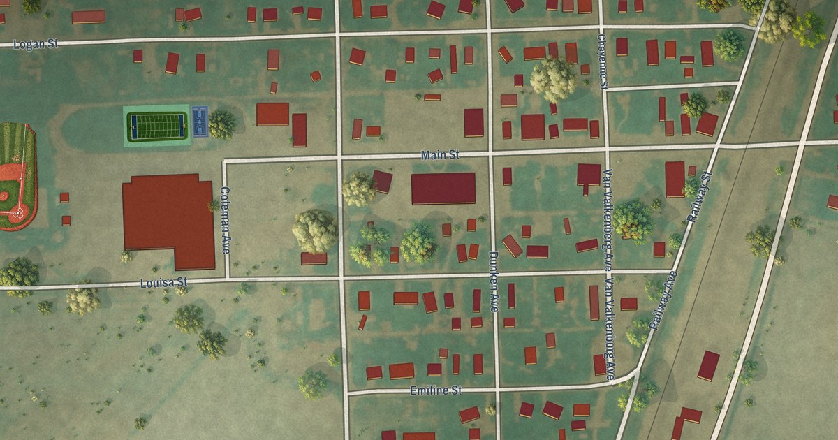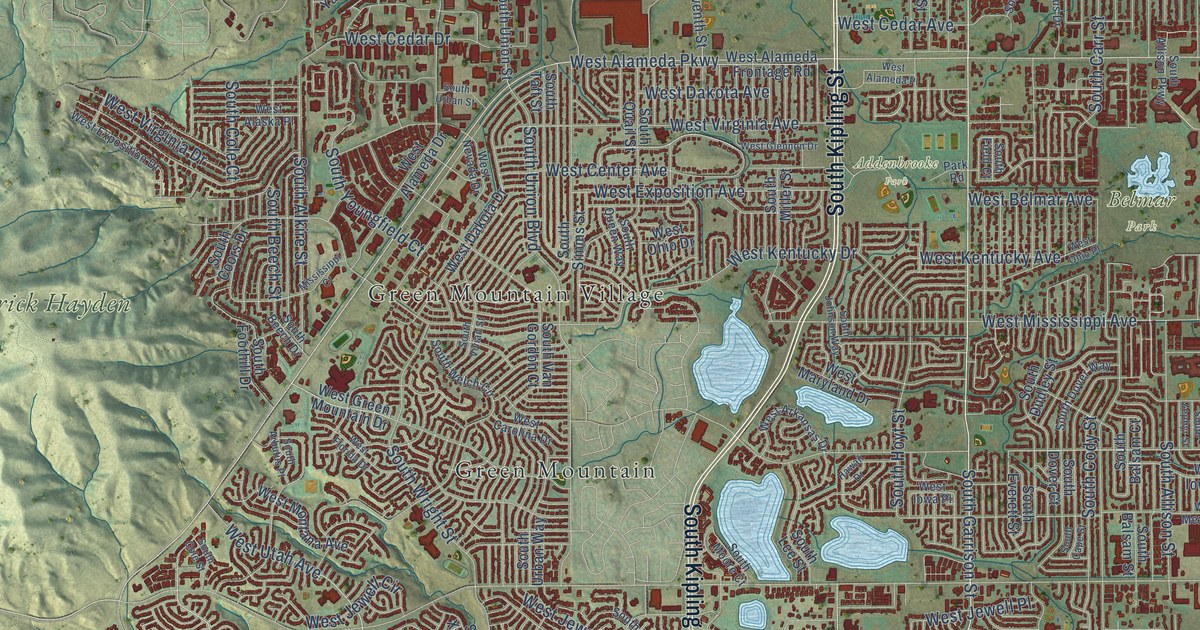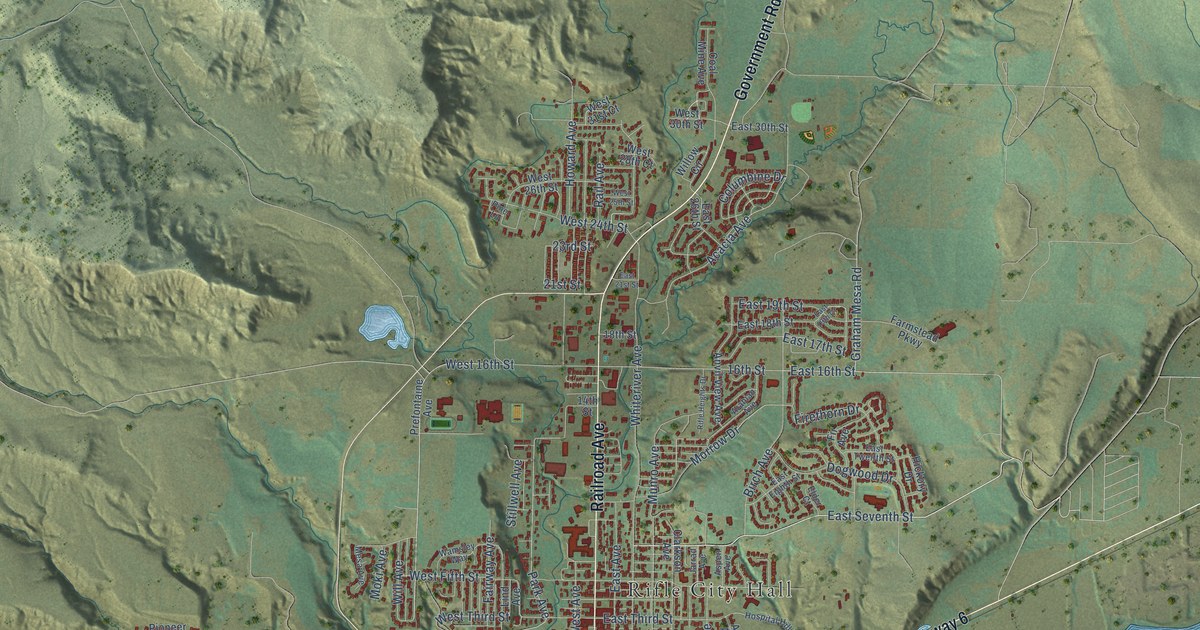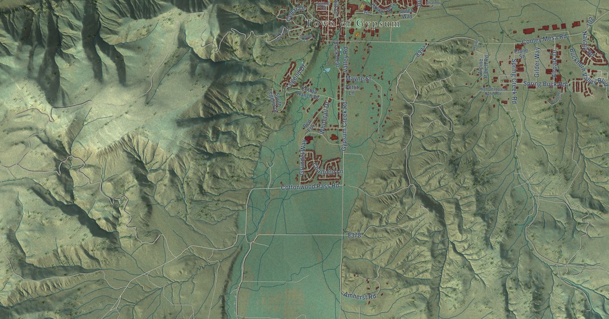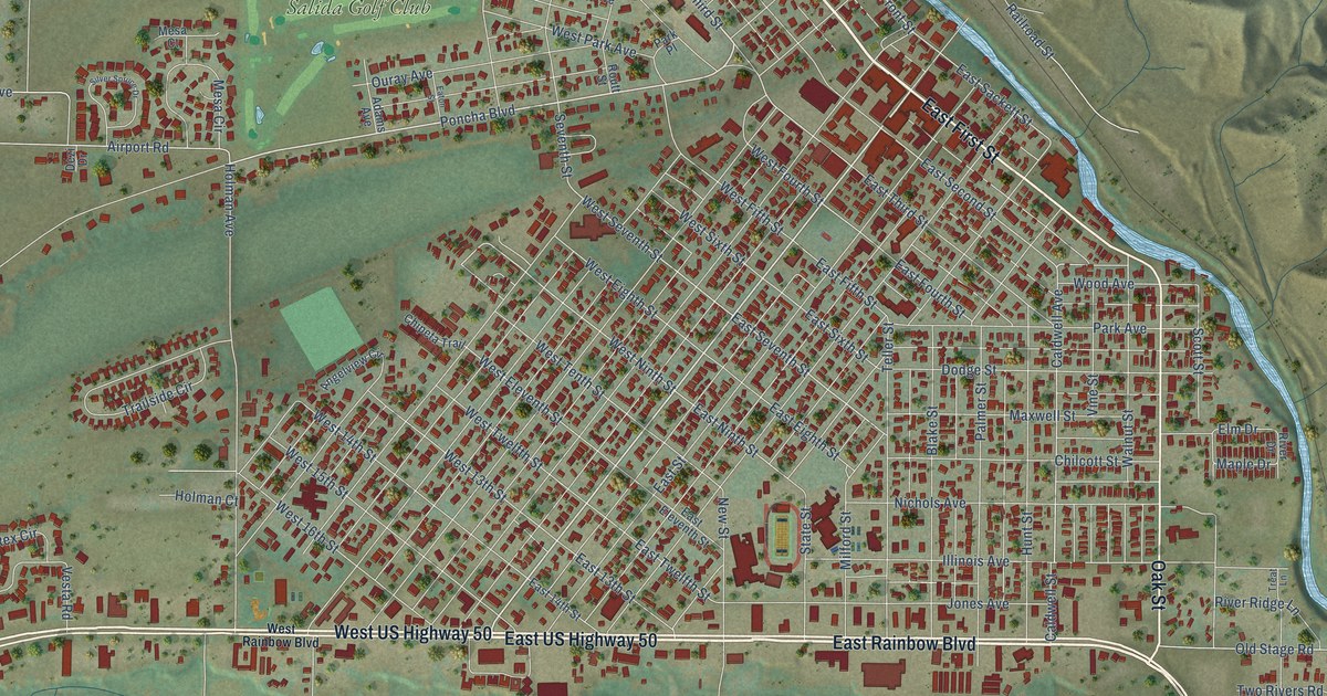
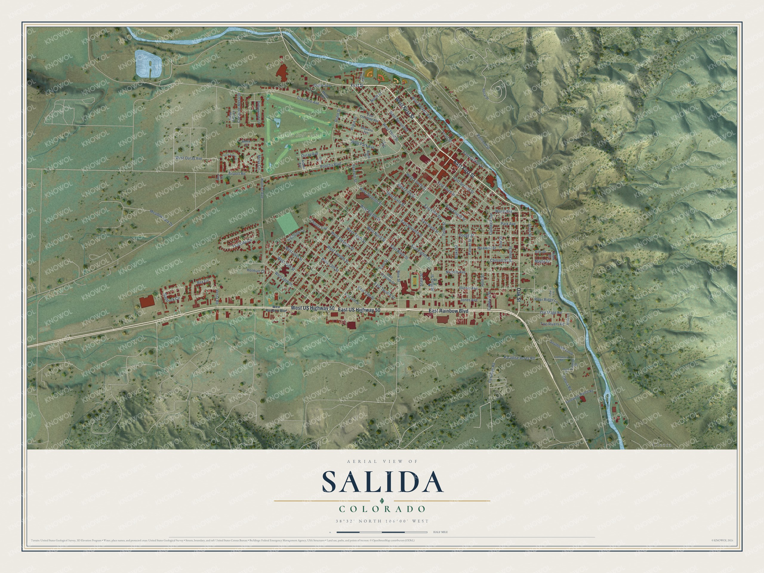
This beautifully detailed map of Salida, Colorado was created in 2026 using aerial imagery combined with modern topographical, census, street and landmark data. It's a modern aerial view of Salida in Chaffee County, Colorado, that combines modern data with a vintage aesthetic. The roads feature printed names, and if you look closely you can find your exact house accurately shown in its correct location.
Explore an aerial view of Salida, Colorado
On this map you'll find Cleora, Salida Golf Club, West First Street, East US Highway 50, East First Street, West US Highway 50, East Rainbow Boulevard, Oak Street, Poncha Boulevard, West Third Street, East Seventh Street, West Seventh Street, and more. Each red shape is a building, so zoom in on the preview and look for yours.
Salida has a story worth telling. The National Register of Historic Places puts it this way: "The F Street Bridge is a well-preserved early Luten arch – the
oldest left in the state built by Pueblo Bridge."
Salida is a city in Chaffee County. The Census Bureau counted 5,666 people here in 2020.
Take a closer look at the Salida map
Names on this map
These names are printed on this map.
Places: Cleora and Salida Golf Club.
Streets and roads: West First Street, East US Highway 50, East First Street, West US Highway 50, East Rainbow Boulevard, Oak Street, Poncha Boulevard, West Third Street, East Seventh Street, West Seventh Street, Caldwell Avenue, West Ninth Street.
More street names, A to Z
Adams Avenue, Airport Road, Angelview Circle, Blake Street, Caldwell Street, Chase Street, Chilcott Street, Chipeta Trail, Cleora Road, Confluence Road, Cottonwood Circle, Crestone Avenue, Crestone Mesa Drive, Dezi Drive, Dodge Street, East 13th Street, East 14th Street, East Crestone Avenue, East Eighth Street, East Eleventh Street, East Fifth Street, East Fourth Street, East Ninth Street, East Sackett Street, East Second Street, East Sixth Street, East Street, East Third Street, East Twelfth Street, Eaton Street, Eddy Lane, Elm Drive, First Street, Front Street, Grand Avenue, Grant Street, Holman Avenue, Holman Court, Hunt Street, Illinois Avenue, Jones Avenue, Maple Drive, Maxwell Street, Meadow Lark Drive, Mesa Circle, Mesa Court, Mesa Lane, Mesa View Lane, Milford Street, New Street, Nichols Avenue, North Street, Old Stage Road, Ouray Avenue, Palmer Street, Paradise Acres Road, Paradise Road, Park Avenue, Park Place, Pitkin Street, Railroad Street, Rex Circle, River Drive, River Ridge Lane, River West Drive, Routt Street, Scott Street, Seventh Street, Shavano Avenue, Silver Spruce Drive, Southside Loop, Spiral Drive, Starbuck Circle, State Street, Teller Street, Trailside Circle, Treat Lane, Trenton Street, Two Rivers Road, Vandaveer Ranch Road, Vesta Road, Vine Street, Walnut Street, West 13th Street, West 14th Street, West 15th Street, West 16th Street, West Eighth Street, West Eleventh Street, West Fifth Street, West Fourth Street, West Ouray Avenue, West Park Avenue, West Rainbow Boulevard, West Sackett Avenue, West Second Street, West Sixth Street, West Tenth Street, West Twelfth Street, Wood Avenue.
Created by KNOWOL in 2026. The buildings are small red shapes, the roads carry their printed names, and shaded relief shows the shape of the land. The title panel reads "AERIAL VIEW OF SALIDA COLORADO" with 38°32' NORTH 106°00' WEST.
It looks right in a kitchen, an office or a den, and it's a gift for anyone who grew up in Salida or moved away. Open the preview and find your street. See sizes and frames for the Salida map.