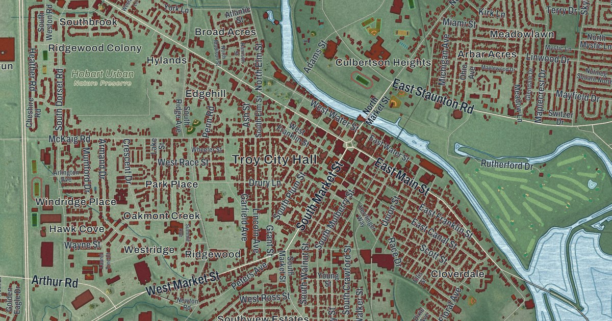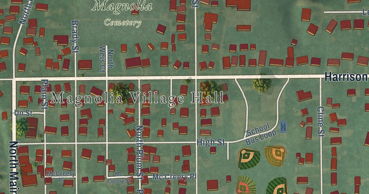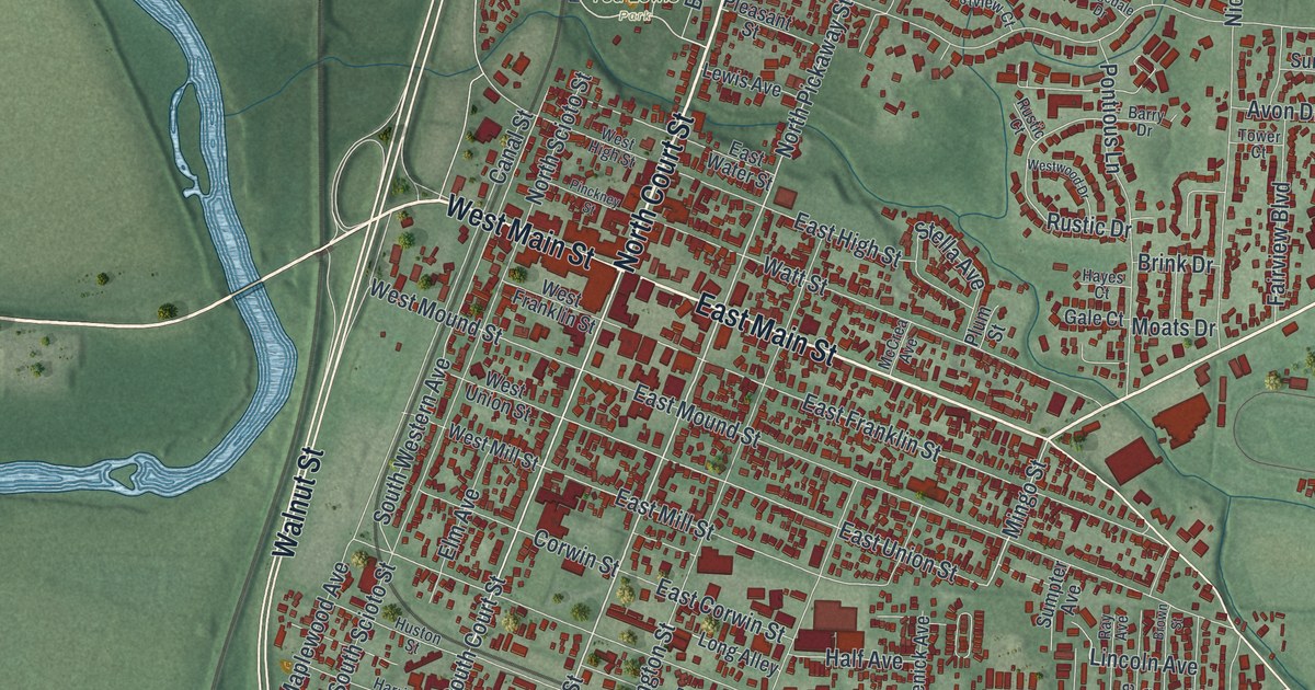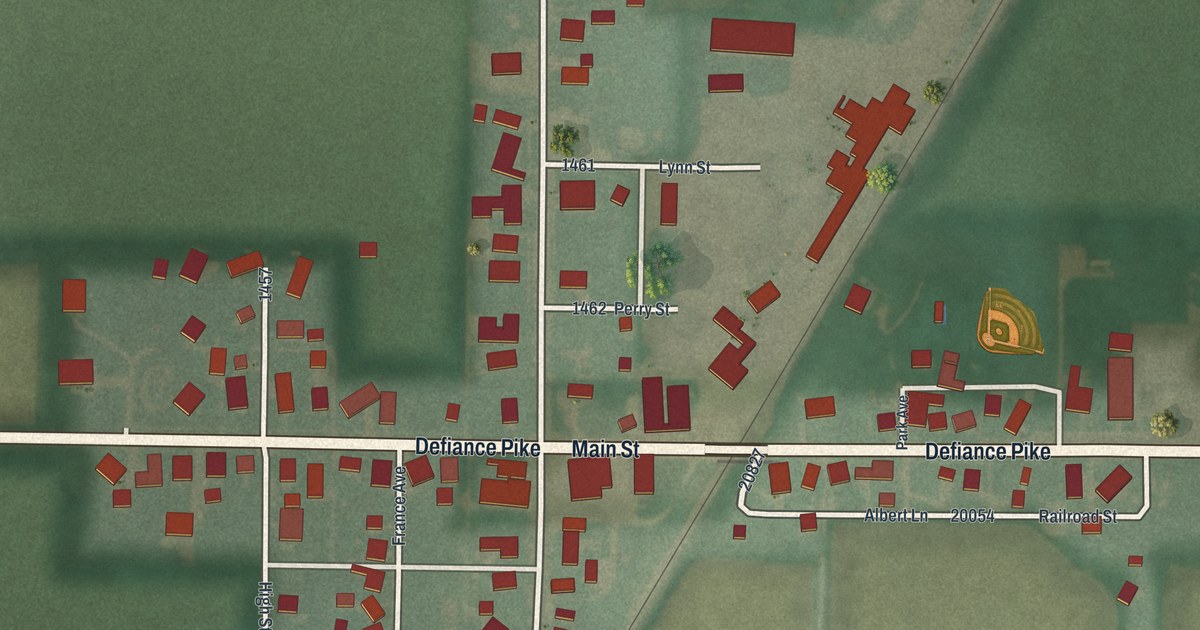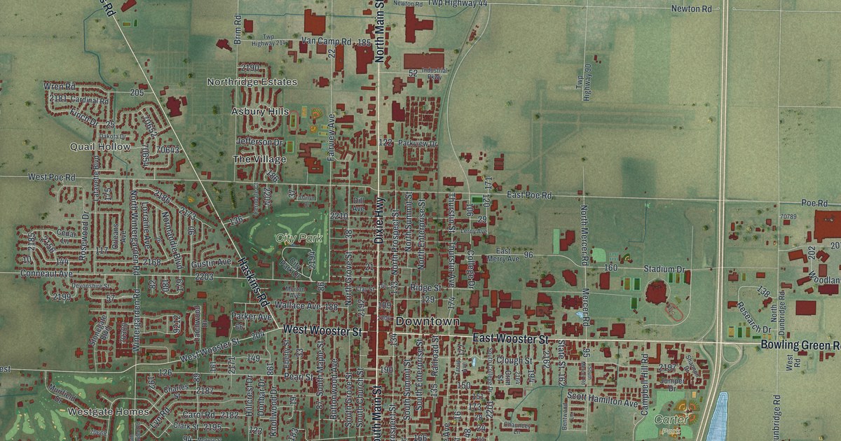
This beautifully detailed map of Bowling Green, Ohio was created in 2026 using aerial imagery combined with modern topographical, census, street and landmark data. It’s a one-of-a-kind view of Bowling Green that combines accurate data with a vintage aesthetic. The map shows every building in its true location, many of the roads carry their names, and the shaded topographic relief shows the shape of the land.
Explore an aerial view of Bowling Green, Ohio
On the map you’ll find Downtown, Wintergarden Heights, Westgate Homes, Quail Hollow, Meadowvale, Northridge Estates, Black Swamp Preserve, Carter Park, City Park, Wintergarden Nature Preserve, Asbury Hills, The Village, and more. If you look closely you can even find your house accurately drawn in its correct location. Zoom in on the preview to look for yours.
Did you know this piece of Bowling Green, Ohio history?
From the City of Bowling Green’s history page: "Present-day Bowling Green received its name in 1834 from early postal carrier, Joseph Gordon, who previously lived and worked in Bowling Green, Kentucky."
Take a closer look at the Bowling Green map
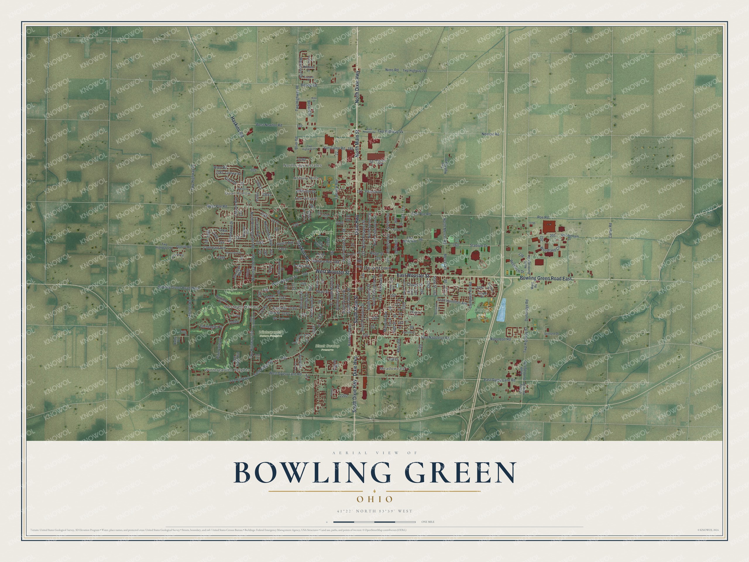
Street and place names on the Bowling Green, Ohio map
These names are printed on the map of Bowling Green, Ohio.
Places: Downtown, Wintergarden Heights, Westgate Homes, Quail Hollow, Meadowvale, Northridge Estates, Black Swamp Preserve, Carter Park, City Park, Wintergarden Nature Preserve, Asbury Hills and The Village.
Streets and roads: East Wooster Street, South Main Street, North Main Street, Bowling Green Road East, West Wooster Street, Dixie Highway, North Dixie Highway, Haskins Road, South Dixie Highway, East Gypsy Lane Road, Twp Highway 44, Campbell Hill Road.
More street names, A to Z
Anna Lane, Augusta Drive, Avery Drive, Bellard Drive, Bentwood Lane, Bishop Road, Bowling Green Road West, Brim Road, Buttonwood Avenue, Cardinal Road, Carol Road, Carter Road, Cedar Lane, Charles Street, Chauncey Lane, City Park Drive, Clark Street, Clay Street, Clough Street, College Drive, Colony Lane, Conneaut Avenue, County Home Road, Crim Street, Dakota Drive, Darlyn Drive, Deer Ridge Run, Devonshire Street, Dill Avenue, Dolly Drive, Donbar Drive, Dunbridge Road, East Merry Avenue, East Napoleon Road, East Newton Road, East Poe Road, Eberly Street, Elm Street, Fairview Avenue, Ferndale Court, Finch Drive, Gleneagles Drive, Gorrill Road, Greystone Drive, Gustin Avenue, High Street, Hillcrest Drive, Industrial Parkway, Jefferson Drive, Juniper Drive, Kathy Drive, Kenwood Avenue, Kildare Lane, Klotz Road, Knollwood Drive, Lafayette Boulevard, Larchwood Drive, Leroy Avenue, Lorraine Avenue, Lyn Road, Manville Avenue, Melrose Street, Mercer Road, Miller Drive, Mitchell Road, Morton Avenue, Muirfield Drive, Napoleon Road, Newton Road, Nims Road, Normandie Boulevard, North Dunbridge Road, North Enterprise Street, North Grove Street, North Mercer Road, North Prospect Street, North Street, North Summit Street, North Wintergarden Road, Orleans Avenue, Parker Avenue, Parkview Drive, Partridge Lane, Pearl Street, Pine Valley Drive, Poe Road, Railroad Street, Research Drive, Ridge Street, Rosewood Drive, Sand Ridge Road, Scott Hamilton Avenue, Shannon Drive, South Church Street, South College Drive, South Dunbridge Road, South Enterprise Street, South Grove Street, South Maple Street, South Mercer Road, South Prospect Street, South Summit Street, South Wintergarden Road, Stadium Drive, State Street, Stonegate Boulevard, Tanglewood Drive, Thurstin Avenue, Thurstin Street, Troup Avenue, Twp Highway 7, Twp Highway 81, Twp Highway 90, Twp Highway 92, Twp Highway 98, Twp Highway 207, Twp Highway 209, Twp Highway 214, Twp Highway 248, Vale Court, Van Camp Road, Venture Drive, Wallace Avenue, Waterford Drive, West Gypsy Lane Road, West Newton Road, West Poe Road, West Road, Wicklow Street, Windjammer Drive, Wintergarden Road, Woodland Circle, Woodstream Drive, Wren Road.
See the Bowling Green, Ohio map on a wall
The Bowling Green map as an 18 x 24 inch print in a black frame.

This beautifully detailed map of Bowling Green makes an attractive addition to your office, library, or den, and it can even be used to teach children the geography and history of the area. It also makes a great gift for anyone with Bowling Green roots. When you’re done exploring, click here to get your copy of the Bowling Green map.