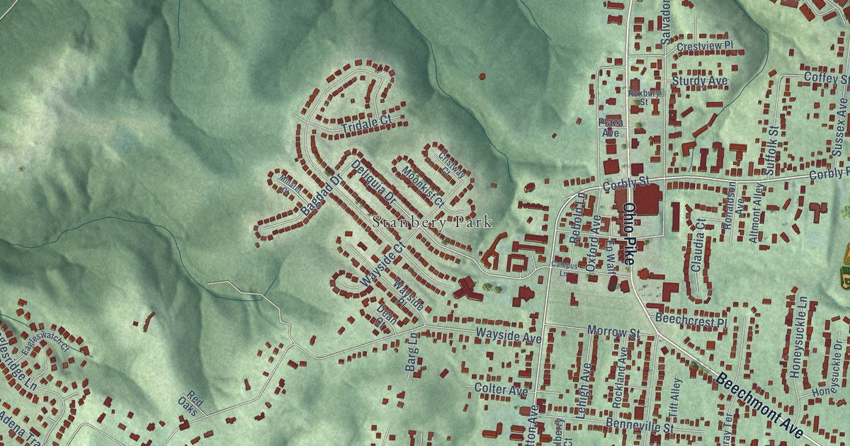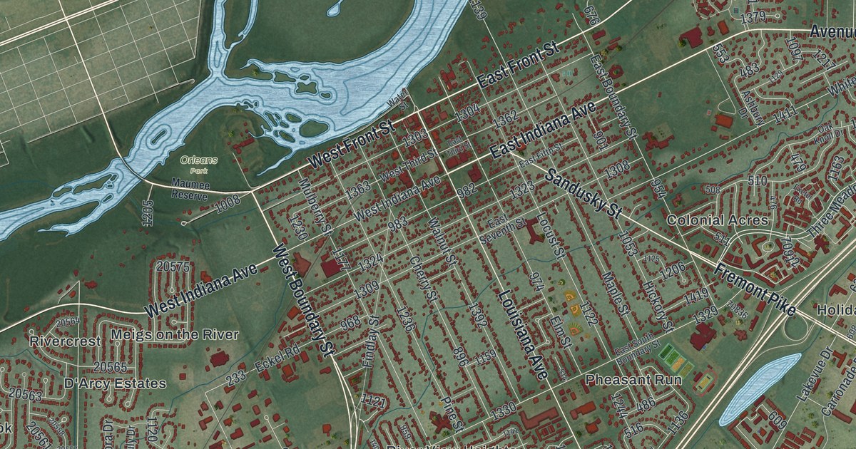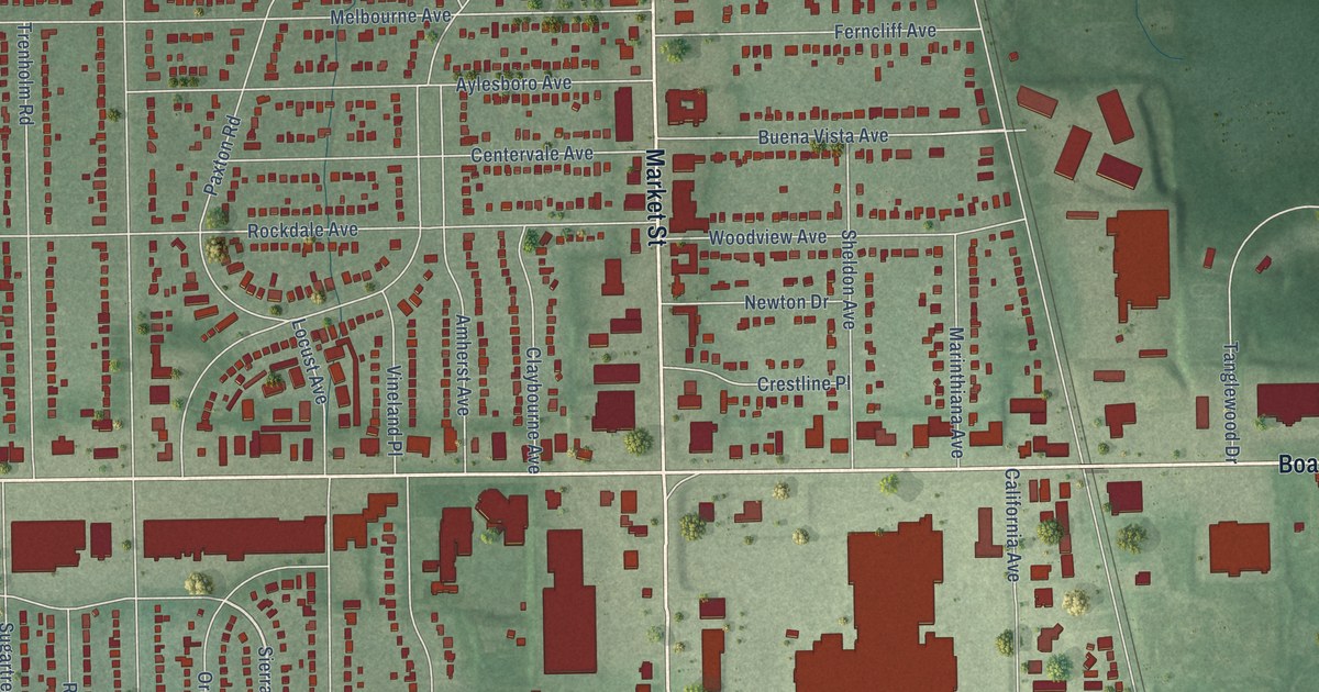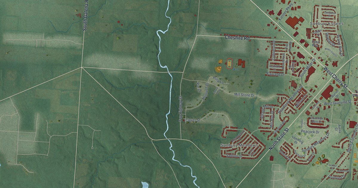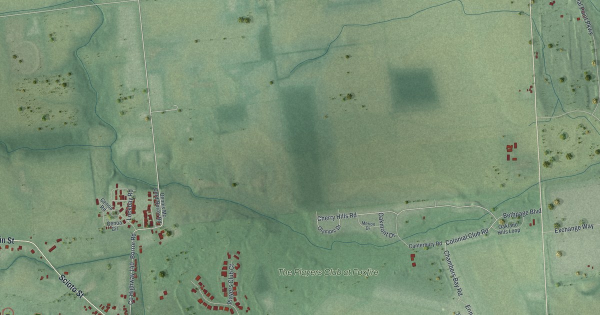
This beautifully detailed map of Commercial Point, Ohio was created in 2026 using aerial imagery combined with modern topographical, census, street and landmark data. It’s a one-of-a-kind view of Commercial Point that combines accurate data with a vintage aesthetic. The map shows every building in its true location, many of the roads carry their names, and the shaded topographic relief shows the shape of the land.
Explore an aerial view of Commercial Point, Ohio
On the map you’ll find Commercial Point Municipal Building and The Players Club at Foxfire, along with Main Street, East Scioto Street, Scioto Street, Cherry Hills Road, Chambers Bay Road, Colonial Club Road, County Highway 141, County Highway 140, Durrett Road, West Scioto Street, and more. If you look closely you can even find your house accurately drawn in its correct location. Zoom in on the preview to look for yours.
Did you know this piece of Commercial Point, Ohio history?
From the History of Pickaway County: "In 1872 the name of the village was changed by special act of the Legislature from Genoa to Commercial Point, which also became the name of the postoffice."
Take a closer look at the Commercial Point map
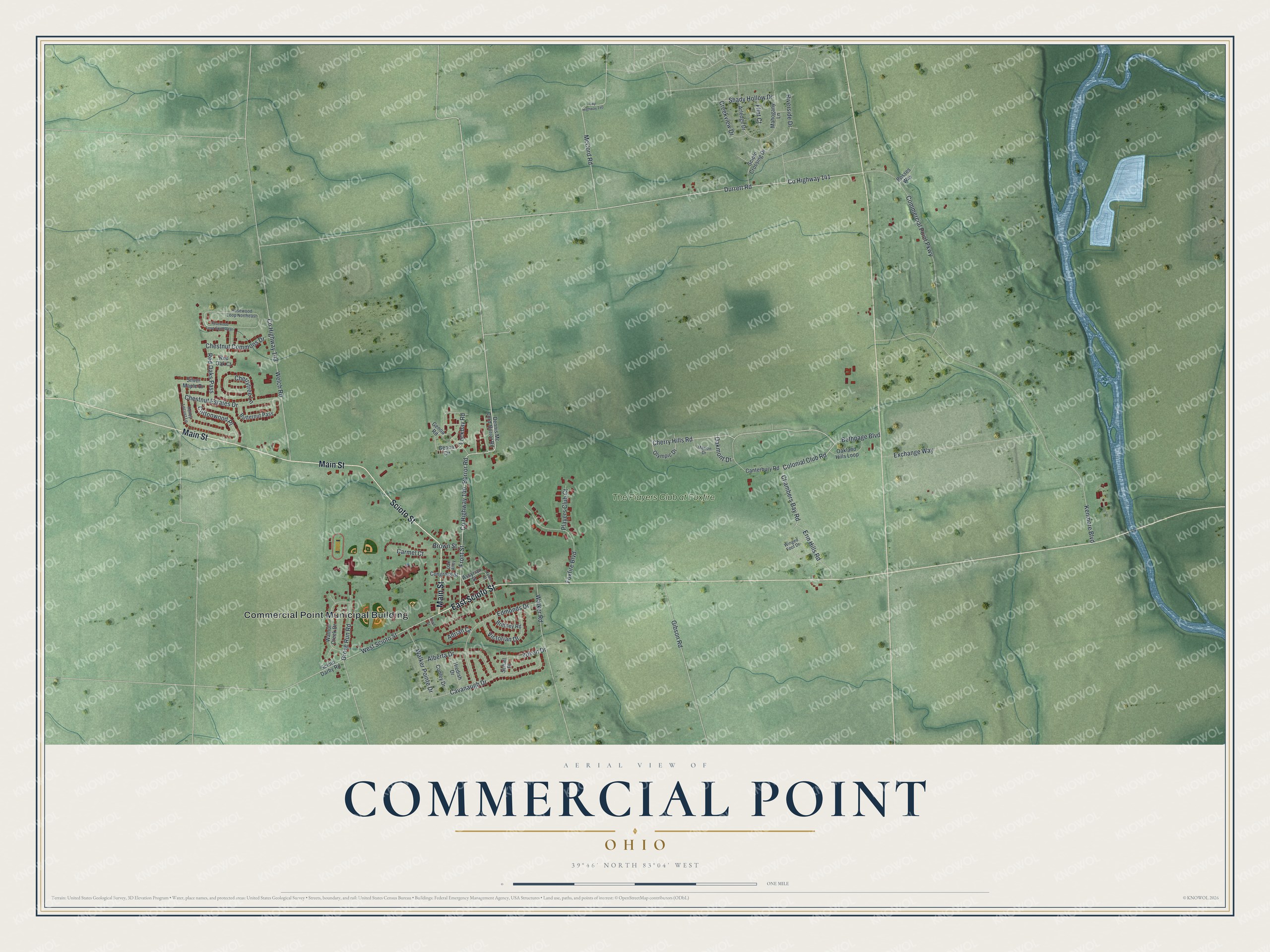
Street and place names on the Commercial Point, Ohio map
These names are printed on the map of Commercial Point, Ohio.
Places: Commercial Point Municipal Building and The Players Club at Foxfire.
Streets and roads: Main Street, East Scioto Street, Scioto Street, Cherry Hills Road, Chambers Bay Road, Colonial Club Road, County Highway 141, County Highway 140, Durrett Road, West Scioto Street, Borror Road, Front Street.
More street names, A to Z
Adrian Court, Alberta Drive, Arledge Drive, Assyrian Street, Bethpage Boulevard, Bosses Way, Brittney Road, Brown Street, Butternut Pass, Canterbury Road, Carmel Court, Cavanaugh Drive, Cherrytree Lane, Chestnut Commons Drive, Chestnut Estates Drive, Commercial Point Parkway, Congress Street, Conley Drive, Cottonwood Place, County Highway 143, Creekview Drive, Cyrus Street, Dennis Mc Cord-Borror Road, Edmonds Drive, Erin Hills Road, Exchange Way, Flint Court, Foxfire Boulevard, Genoa Circle, Genoa Road, Gibson Road, Grove Run Road, Hiedish Drive, Honey Locust Lane, Kenmore Boulevard, Lockbay Road, Mahogany Lane, McCord Road, Merion Drive, Oak Alley, Oakland Hills Loop, Oakmont Drive, Olympic Drive, Players Club Court, Red Oak Court, Red Oaks Pass, Riverside Drive, Rosewood Loop Northeast, Rosewood Loop Southwest, Schall Place, Scioto Crossing Drive, Scioto Darby Road, Shady Hollow Drive, Silver Maple Drive, Third Street, Twp Highway 140, Victorian Drive, Walker Pointe Drive, Walker Road, Walnut Creek Drive, Welch Road, Winged Foot Drive, Yukon Drive.
See the Commercial Point, Ohio map on a wall
The Commercial Point map as an 18 x 24 inch print in a black frame.

This beautifully detailed map of Commercial Point makes an attractive addition to your office, library, or den, and it can even be used to teach children the geography and history of the area. It also makes a great gift for anyone who grew up in Commercial Point or moved away. When you’re done exploring, click here to get your copy of the Commercial Point map.