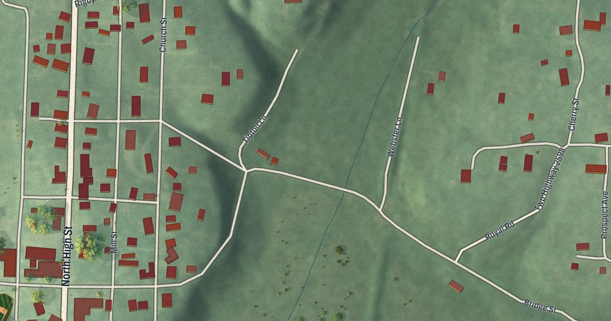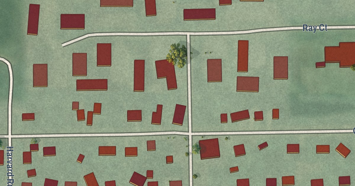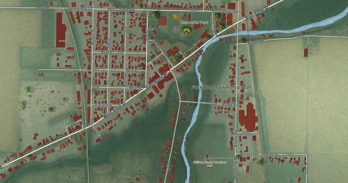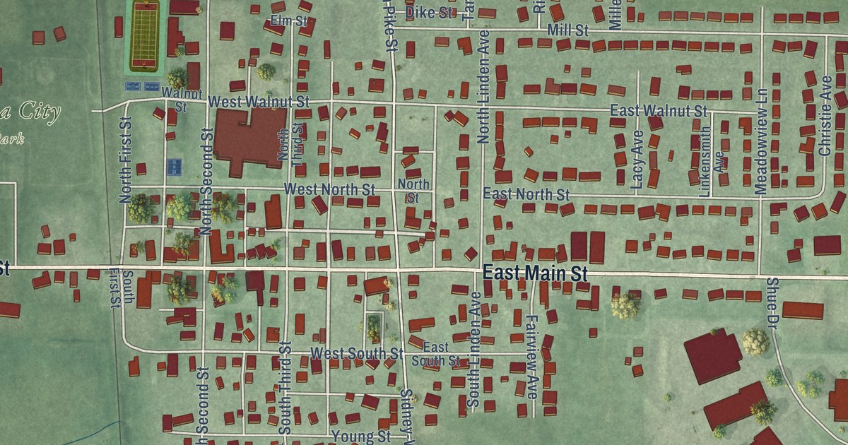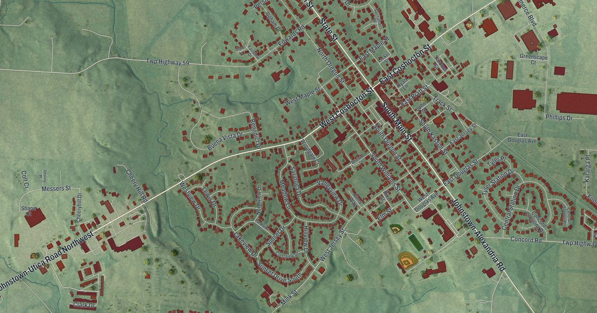
This beautifully detailed map of Johnstown, Ohio was created in 2026 using aerial imagery combined with modern topographical, census, street and landmark data. It’s a one-of-a-kind view of Johnstown that combines accurate data with a vintage aesthetic. The map shows every building in its true location, many of the roads carry their names, and the shaded topographic relief shows the shape of the land.
Explore an aerial view of Johnstown, Ohio
On the map you’ll find West Coshocton Street, State Street, South Main Street, North Main Street, Johnstown-Utica Road Northwest, Johnstown-Alexandria Road, East Coshocton Street, Clark Drive, South Williams Street, Messers Street, South Oregon Street, East Douglas Street, and more. If you look closely you can even find your house accurately drawn in its correct location. Zoom in on the preview to look for yours.
Did you know this piece of Johnstown, Ohio history?
From the Ohio History Connection: "After mapping out streets, the town square, and a cemetery, he named the village Johnstown."
Take a closer look at the Johnstown map
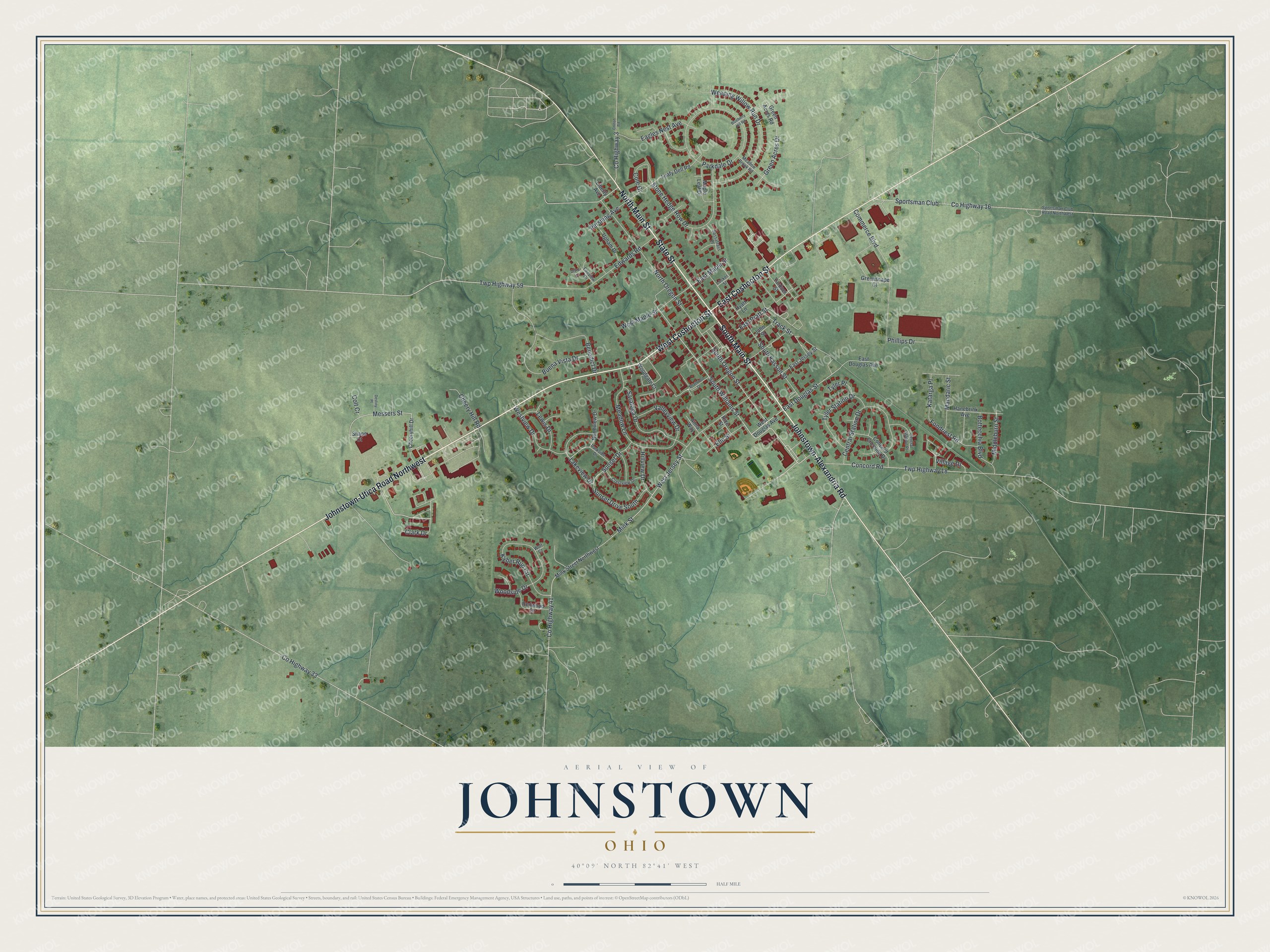
Street names on the Johnstown, Ohio map
These names are printed on the map of Johnstown, Ohio.
Streets and roads: West Coshocton Street, State Street, South Main Street, North Main Street, Johnstown-Utica Road Northwest, Johnstown-Alexandria Road, East Coshocton Street, Clark Drive, South Williams Street, Messers Street, South Oregon Street, East Douglas Street.
More street names, A to Z
Anna Way, Benedict Drive, Blueberry Hill Road, Bottecchia Boulevard, Briarwood Drive, Buena Vista Drive, Central Station Drive, Central Station Place, Cheeryhill Drive, Cheery Hill Road, Cole Drive, Colt Cr, Commerce Boulevard, Concord Crossing Drive, Concord Road, County Highway 3, County Highway 16, County Highway 33, County Highway 41, Crestview Drive, Croton Road, Destiny Place, Drury Lane, Eagles Nest Avenue, East Douglas Avenue, East Jersey Street, East Maple Street, East Pratt Street, Edwards Road, Elm Street, Fairview Drive, Fondriest Road, Green Acres Drive, Green Acres Road, Greenscape Court, Hanebrink Avenue, Hillview Drive, Hyatt Lane, John Street, Katarga Place, Kyber Run Circle, Lakeview Drive, Leafy Dell Road, Lewis Drive, Liberty Avenue, Locker Street, Mandaric Street, Maple Leaf Drive, Meadow Brook Road, Meadow Lane, Middleburn Street, Mink Street, Mink Street Northwest, North Oregon Street, Northview Drive, Parkdale Drive, Parkside Drive, Pershing Avenue, Phillips Drive, Redwood Drive, Rice Street, Saratoga Drive, Sassafrass Place, Shane Court, South Kasson Street, Sportsman Club, Sportsman Club Road Northwest, Stone Hedge Row Drive, Sunset Drive, Sunset Drive South, Track Street, Twp Highway 18, Twp Highway 59, Tyler Place, Tyler Station Drive, Upham Drive, Valleyview Drive, Village Drive, Weeping Willow Run Drive, West Douglas Avenue, West Jersey Street, West Maple Street, Westview Drive, Wolf Court, Woodgate Court, Woodside Drive, Yardner Street.
See the Johnstown, Ohio map on a wall
The Johnstown map as an 18 x 24 inch print in a black frame.

This beautifully detailed map of Johnstown makes an attractive addition to your office, library, or den, and it can even be used to teach children the geography and history of the area. It also makes a great gift for anyone with Johnstown roots. When you’re done exploring, click here to get your copy of the Johnstown map.