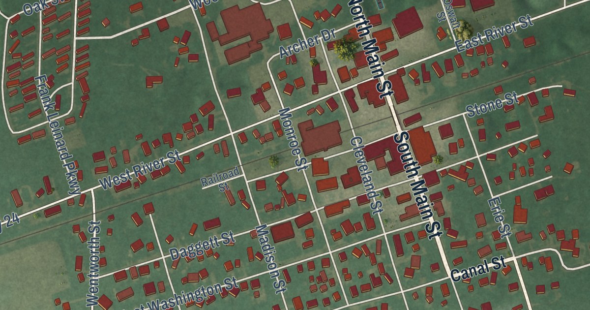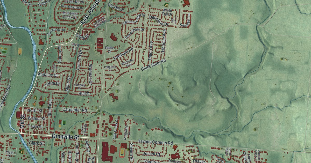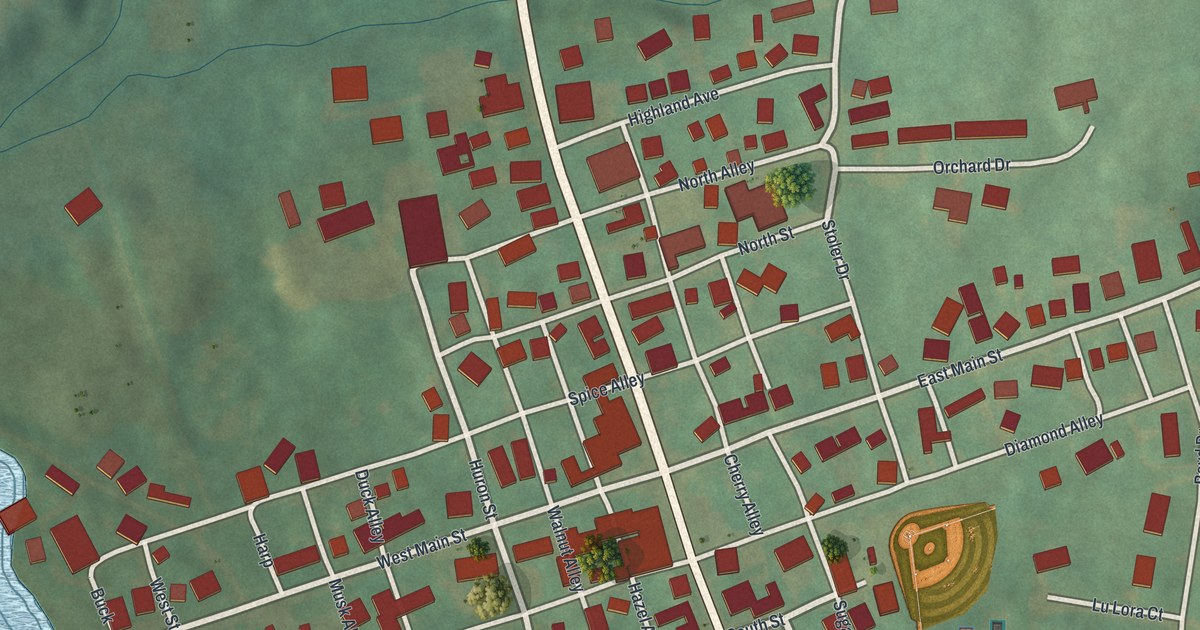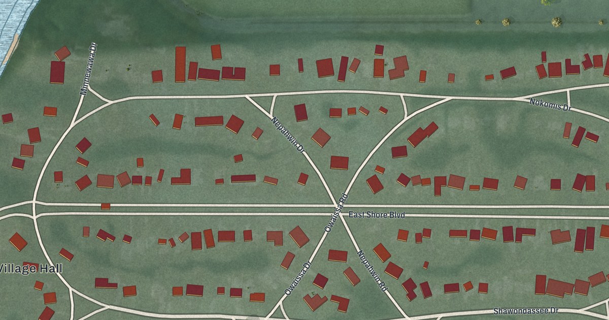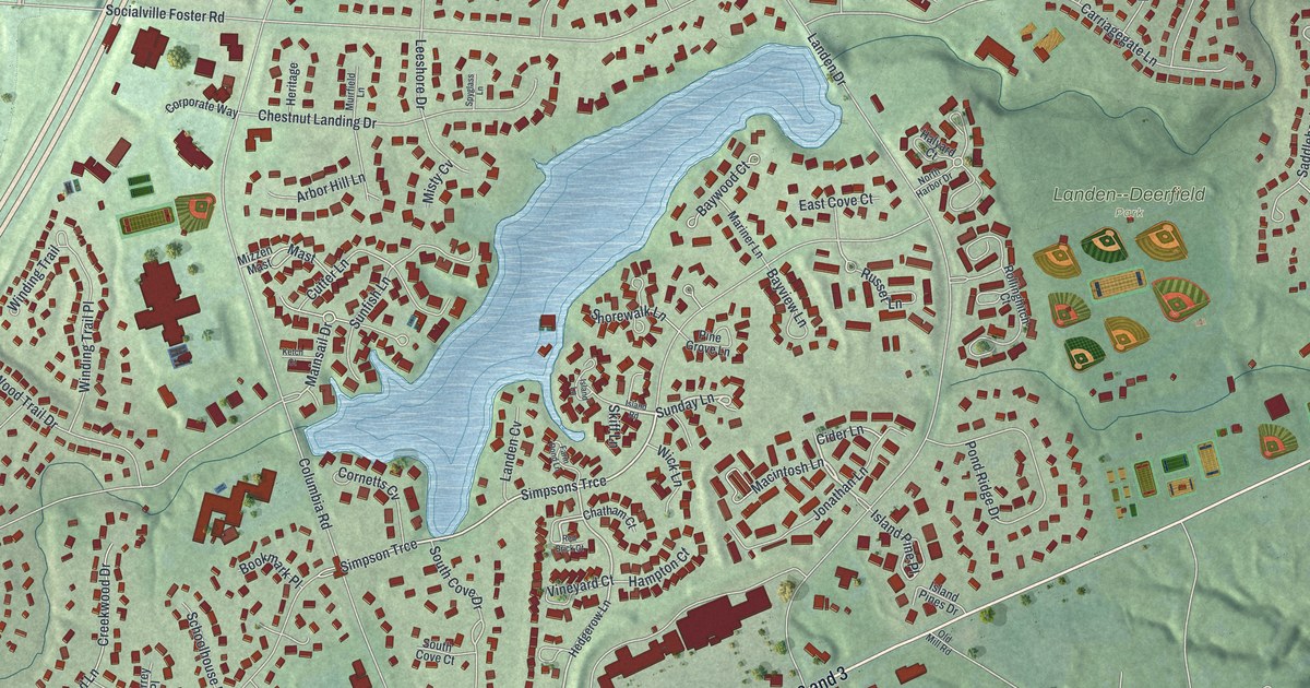
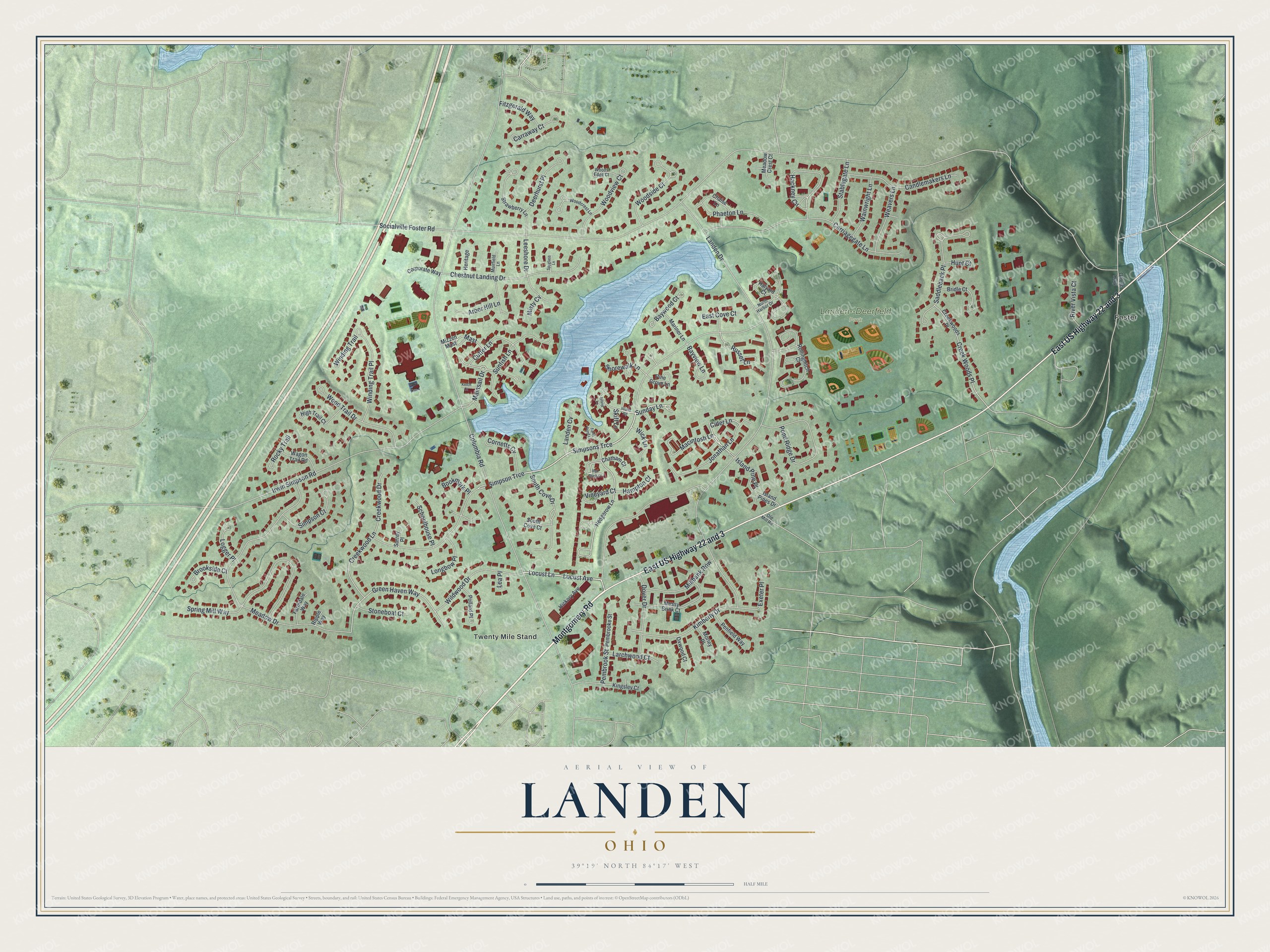
This beautifully detailed map of Landen, Ohio was created in 2026 using aerial imagery combined with modern topographical, census, street and landmark data. It’s a one-of-a-kind view of Landen that combines accurate data with a vintage aesthetic. The map shows every building in its true location, many of the roads carry their names, and the shaded topographic relief shows the shape of the land.
Explore an aerial view of Landen, Ohio
On the map you’ll find Landen-Deerfield Park, Foster, Twenty Mile Stand, East US Highway 22 and 3, and Simpson Trce, along with Montgomery Road, Locust Avenue, Locust Lane, Sunday Lane, Vineyard Court, Hackney Circle, Russet Lane, and more. If you look closely you can even find your house accurately drawn in its correct location. Zoom in on the preview to look for yours.
Did you know this piece of Landen, Ohio history?
The community takes its name from Theodophilus James Landen, who settled early in Ohio. His farm fields once spread all around the old Twenty Mile Stand. Real estate developers later built homes there and dammed Simpson’s Creek to make Landen Lake, a basin that holds back floods.
Take a closer look at the Landen map
Street and place names on the Landen, Ohio map
These names are printed on the map of Landen, Ohio.
Places: Landen-Deerfield Park, Foster and Twenty Mile Stand.
Streets and roads: Montgomery Road, East US Highway 22 and 3, Locust Avenue, Locust Lane, Simpson Trce, Sunday Lane, Vineyard Court, Hackney Circle, Russet Lane, Saddleback Place, Green Haven Way, Mainsail Drive.
More street names, A to Z
Arbor Hill Lane, Bayview Lane, Baywood Court, Bookmark Place, Bridle Court, Brookside Court, Candlemakers Lane, Carraway Court, Carriagegate Lane, Chaise Lane, Chatham Court, Chestnut Landing Drive, Cider Lane, Columbia Road, Cornetts Cv, Corporate Way, Creekwood Drive, Creekwood Lane, Creek Woods Place, Creekwoods Place, Cutter Lane, Deerhurst Place, Dover Drive, East Cove Court, Exeter Place, Farmdale Way, Farm Pond Lane, Fitzgerald Way, Halyard Court, Hampton Court, Hedgerow Lane, Heritage, Hickory Avenue, High Trail Court, Hunt Court, Irwin Simpson Road, Island Lane, Island Pine Place, Island Pines Drive, Island Road, Jonathan Lane, Ketch Court, Kimberly Drive, Kingsley Court, Landen Cv, Landen Drive, Larchwood Court, Lea Place, Leeshore Drive, Logger Place, Longbow Place, Macintosh Lane, Mariner Lane, Mast, Meadow Crest Court, Meadow Drive, Millbank Row, Misty Cv, Mizzen Mast, Morley Place, Mossy Brink Court, Muirfield Lane, North Harbor Drive, Old Mill Road, Oxwood Court, Pembrooke Street, Pembrook Street, Penfield Way, Phaeton Lane, Pine Grove Lane, Pollard Place, Pond Ridge Drive, Red Brick Court, Ripple Way, River Vista Court, Rocky Trail, Rollinghitch Court, Schoolhouse Place, Shorewalk Lane, Simpson Court, Simpsons Trce, Skiff Lane, Socialville Foster Road, South Cove Court, South Cove Drive, Spring Mill Way, Spyglass Lane, Stablegate Lane, Stoneboat Court, Strawberry Lane, Sunfish Lane, Surrey Place, Wagon Trail Road, Wainwright Lane, Weavers Lane, Wick Lane, Wildwood Drive, Winding Trail, Winding Trail Place, Woodcrest Lane, Woods Edge Court, Woodside Court, Wood Trail Drive, Woodview Court.
See the Landen, Ohio map on a wall
The Landen map as an 18 x 24 inch print in a black frame.

This beautifully detailed map of Landen makes an attractive addition to your office, library, or den, and it can even be used to teach children the geography and history of the area. It also makes a great gift for anyone who grew up in Landen or moved away. When you’re done exploring, click here to get your copy of the Landen map.