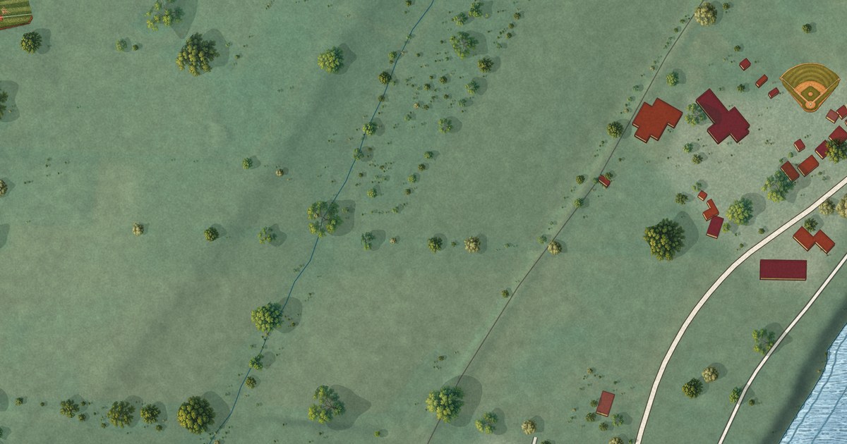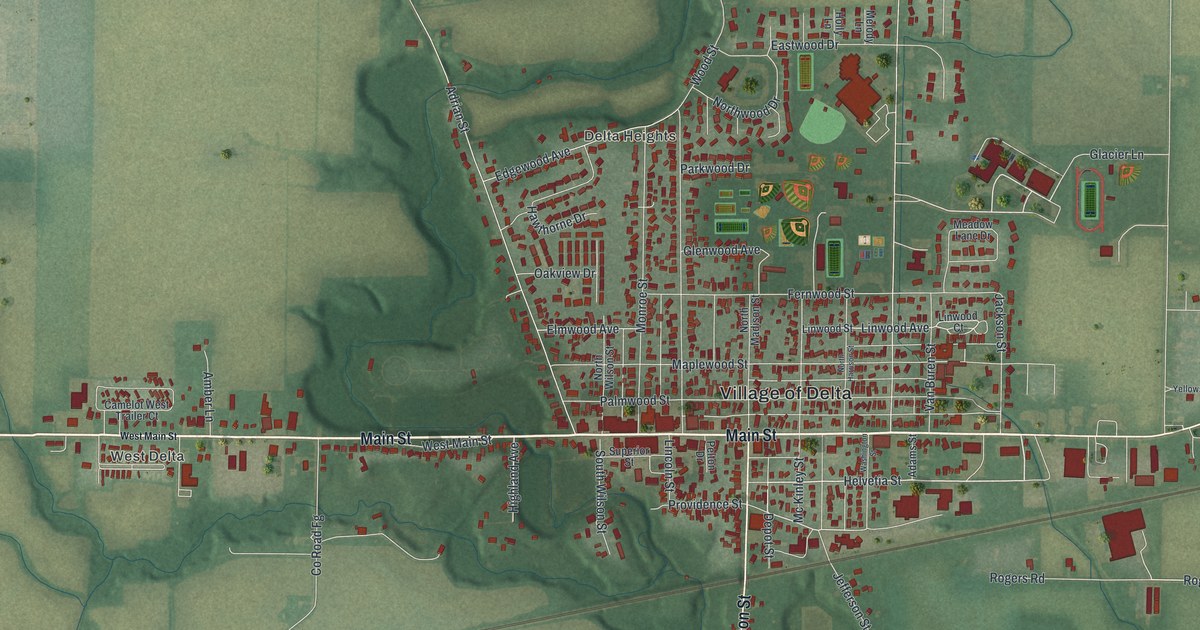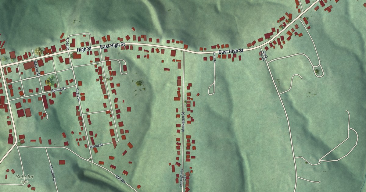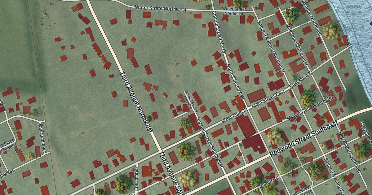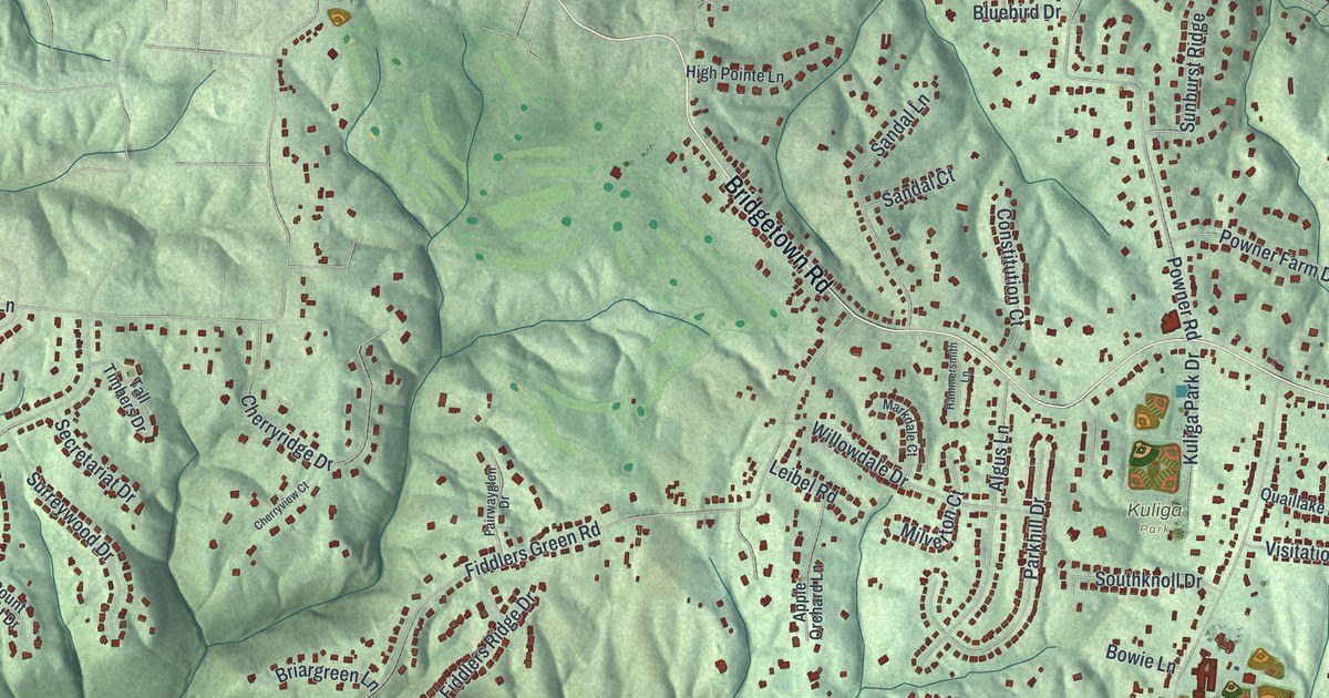
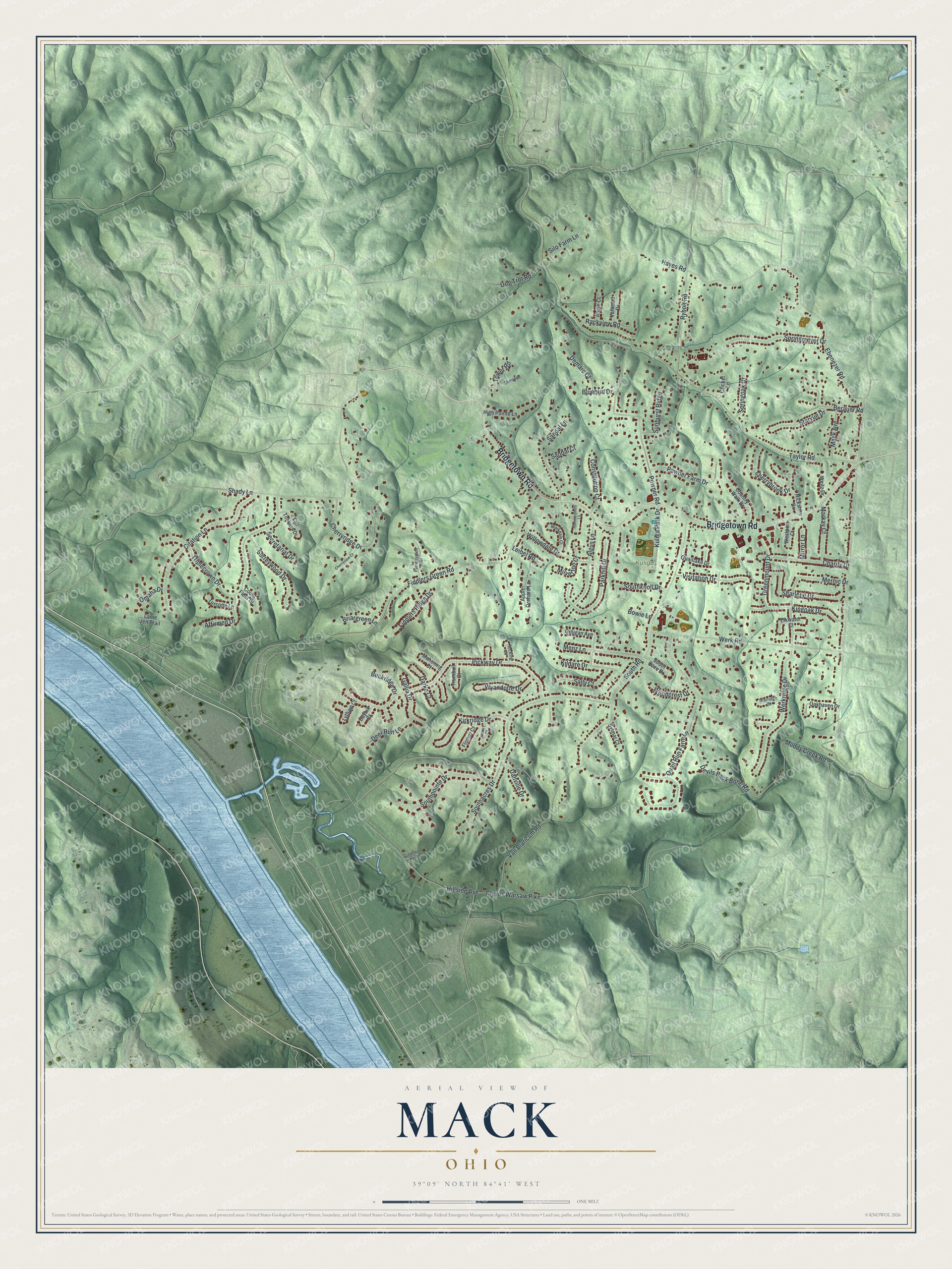
This beautifully detailed map of Mack, Ohio was created in 2026 using aerial imagery combined with modern topographical, census, street and landmark data. It's a modern aerial view of Mack in Hamilton County, Ohio, that combines modern data with a vintage aesthetic. The roads feature printed names, and if you look closely you can find your exact house accurately shown in its correct location.
Explore an aerial view of Mack, Ohio
On this map you'll find Kuliga Park, Bridgetown Road, Ebenezer Road, South Road, Taylor Road, Shady Lane, Fiddlers Green Road, Devils Back Bone Road, Pickway Drive, Van Blaricum Road, Triplecrown Drive, Werkridge Drive, and more. Each red shape is a building, so zoom in on the preview and look for yours.
Mack has a story worth telling. The Ohio History Connection puts it this way: "Reverend Richard E. Scully, founder of the Cincinnati Goodwill operated a Fresh Air Camp for women and children in the 1930s and 40s. The camp was part of a 100-acre site with vegetable fields, a swimming pool, tennis courts and horseshoe pits."
Mack is a community in Hamilton County. The Census Bureau counted 11,088 people here in 2020.
Take a closer look at the Mack map
Names on this map
These names are printed on this map.
Places: Kuliga Park.
Streets and roads: Bridgetown Road, Ebenezer Road, South Road, Taylor Road, Shady Lane, Fiddlers Green Road, Devils Back Bone Road, Pickway Drive, Van Blaricum Road, Triplecrown Drive, Werkridge Drive, Werk Road.
More street names, A to Z
Affirmed Drive, Algus Lane, Angie Court, Apple Orchard Lane, Bayhill Court, Berauer Road, Bluebird Drive, Bowie Lane, Briargreen Lane, Buckridge Drive, Charity Drive, Cherryridge Drive, Cherryview Court, Citation Lane, Cleves Warsaw Pike, Constitution Court, Count Fleet Drive, Country Walk Drive, Cricket Lane, Danville Drive, Darke Court, Deer Run Lane, Demarc Court, Dog Trot Road, Elkwater Court, Fairwayglen Drive, Fiddlers Ridge Drive, Flomar Court, Gallia Drive, Gilligan Avenue, Gindling Heights, Greenmount Drive, Hammersmith Lane, Hayes Road, High Pointe Lane, Hillside Avenue, Hocking Drive, Jimray Court, Kildare Drive, Kingoak Drive, Kirkridge Drive, Kuliga Park Drive, Lanie Jen Trail, Leibel Road, Lytham Court, Mack Avenue, Mahoning Court, Markay Court, Markdale Court, Menz Lane, Mernic Drive, Milverton Court, Mirror Lane, Muddy Creek Road, Oakhaven Drive, Omaha Drive, Parkhill Drive, Powner Farm Drive, Powner Road, Quaillake Drive, Quail Run Farm Lane, Rackview Road, Rickshire Drive, Rybolt Road, Sally Court, Sandal Court, Sandal Lane, Secretariat Drive, Sharlene Drive, Shawnee, Sherrybrook Drive, Silo Farm Lane, Southacres Drive, South Cove Drive, Southknoll Drive, Southpointe Drive, Springmeyer Drive, Springoak Drive, Starridge Court, Starvue Drive, Sunburst Ridge, Surreywood Drive, Sylmar Court, Tall Timbers Drive, Tower Road, Trumbull Court, Turcotte Lane, Valwood Drive, Visitation Drive, Weitz Drive, Westport Court, Willowdale Drive, Woodcrest Drive, Wyandotte Drive.
Created by KNOWOL in 2026. The buildings are small red shapes, the roads carry their printed names, and shaded relief shows the shape of the land. The title panel reads "AERIAL VIEW OF MACK OHIO" with 3, 9, °, 0, 9, ', , N, O, R, T, H, , 8, 4, °, 4, 1, ', , W, E, S, T.
It looks right in a kitchen, an office or a den, and it's a gift for anyone who grew up in Mack or moved away. Open the preview and find your street. See sizes and frames for the Mack map.