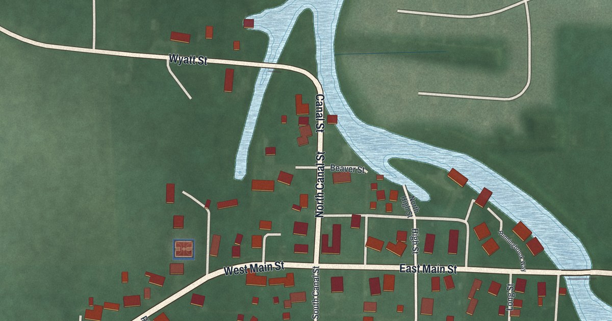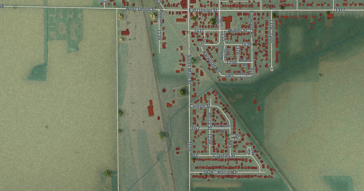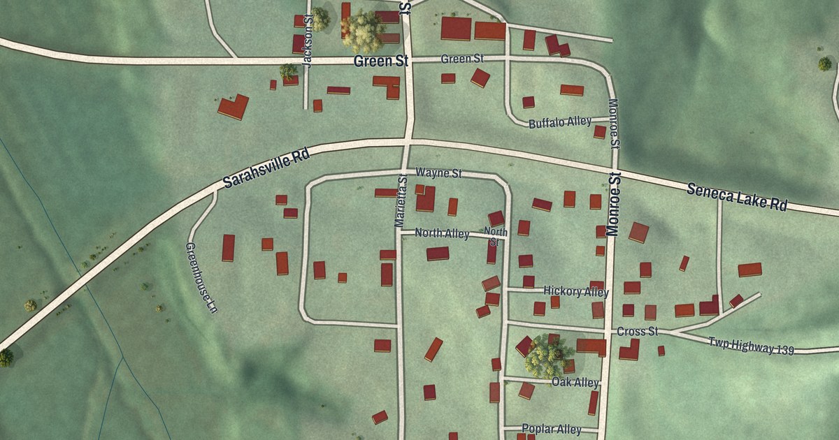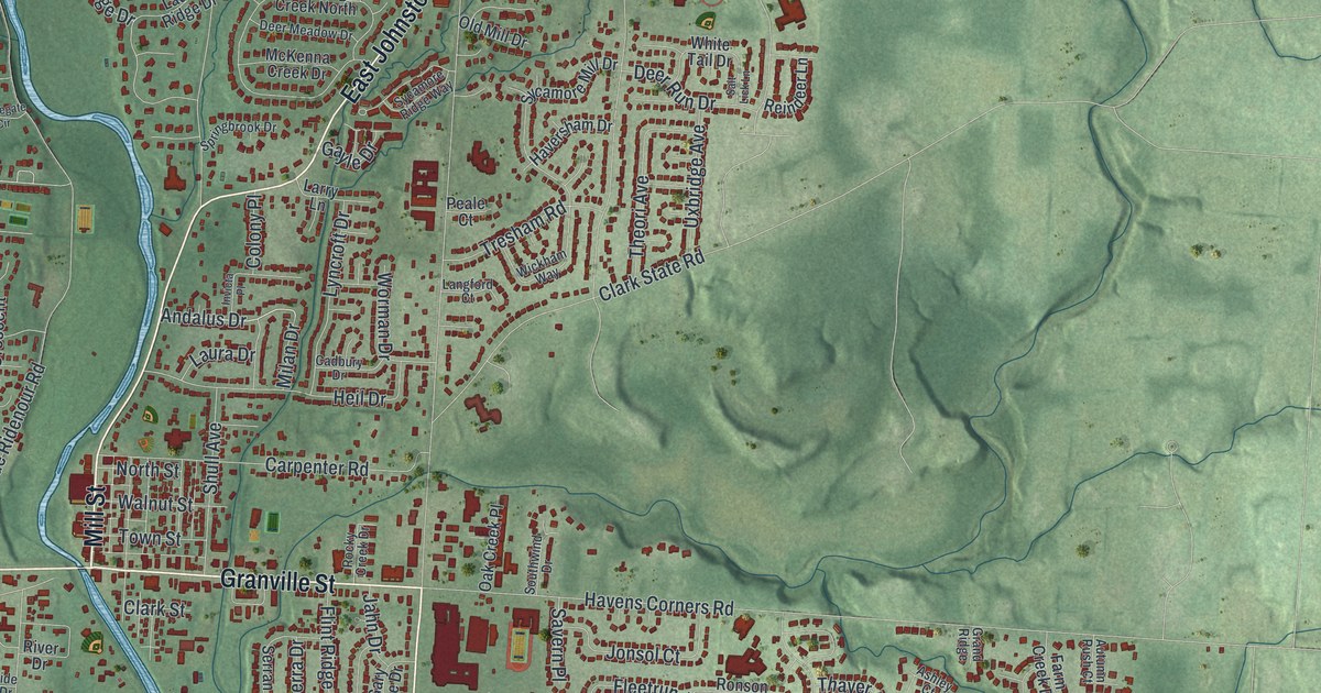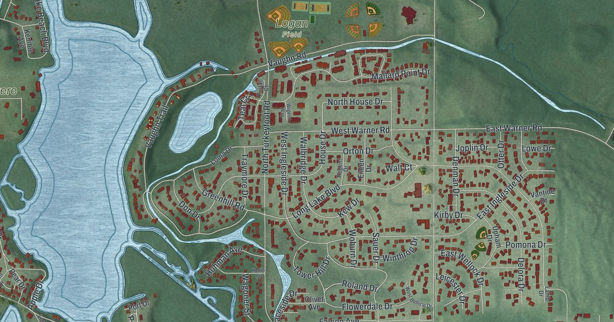
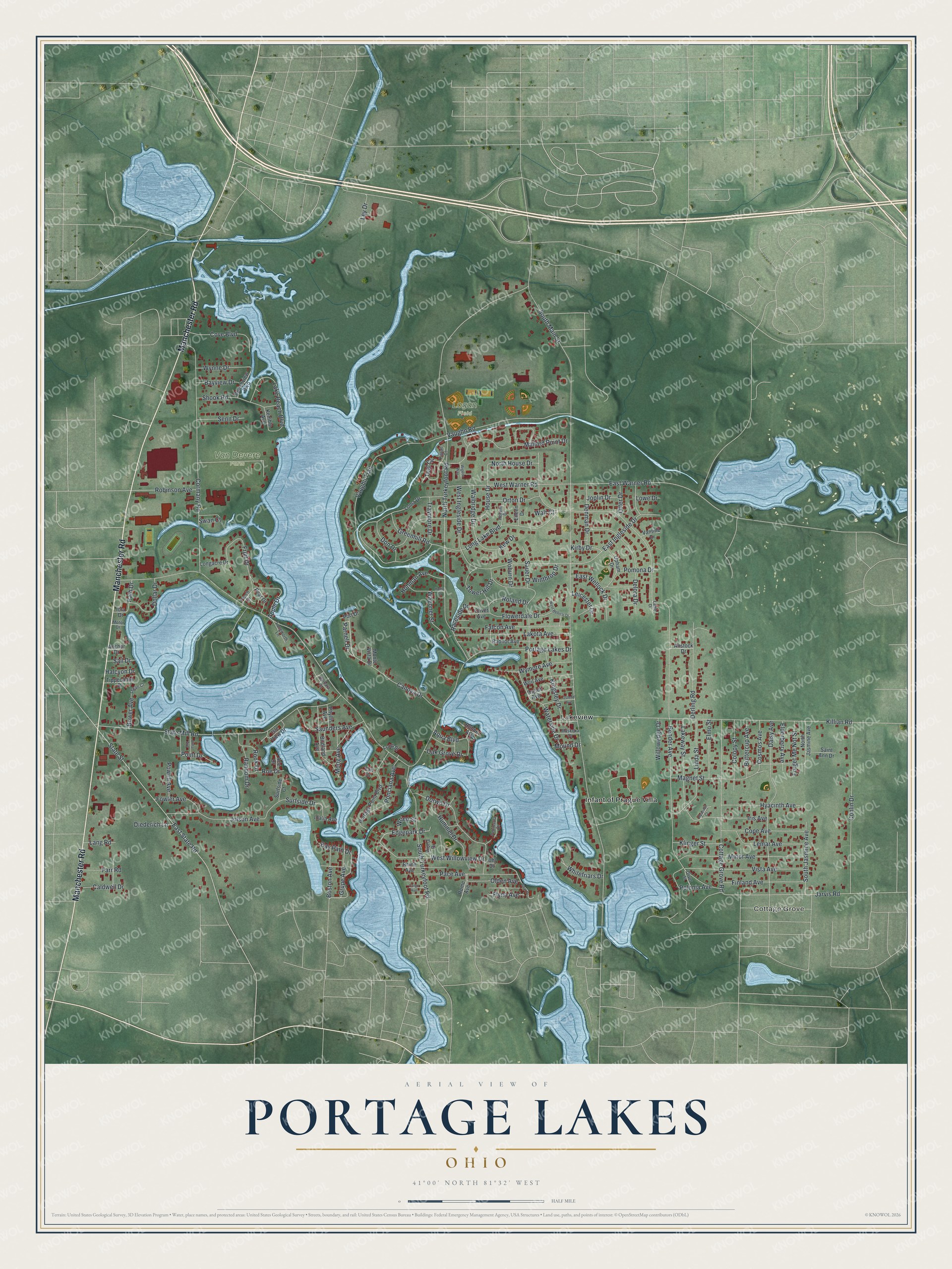
This beautifully detailed map of Portage Lakes, Ohio was created in 2026 using aerial imagery combined with modern topographical, census, street and landmark data. It's a modern aerial view of Portage Lakes in Summit County, Ohio, that combines modern data with a vintage aesthetic. The roads feature printed names, and if you look closely you can find your exact house accurately shown in its correct location.
Explore an aerial view of Portage Lakes, Ohio
On this map you'll find Cottage Grove, Logan Field, Van Devere Farm, Infant of Prague Villa, Lakeview, Manchester Road, Edgepark Drive, Parnell Drive, South Main Street, Portage Lakes Drive, Bender Avenue, North Turkeyfoot Road, and more. Each red shape is a building, so zoom in on the preview and look for yours.
Every town has a first chapter, and Portage Lakes is no exception. The Ohio History Connection puts it this way: "In 1788, Coventry Township was initially part of Washington County, the first county formed in the Ohio Territory."
Portage Lakes is a community in Summit County. The Census Bureau counted 6,407 people here in 2020.
Take a closer look at the Portage Lakes map
Names on this map
These names are printed on this map.
Places: Cottage Grove, Logan Field, Van Devere Farm, Infant of Prague Villa and Lakeview.
Streets and roads: Manchester Road, Edgepark Drive, Parnell Drive, South Main Street, Portage Lakes Drive, Bender Avenue, North Turkeyfoot Road, Long Lake Boulevard, Killian Road, State Mill Road, Cormany Road, East State Road.
More street names, A to Z
Ace Drive, Alma Avenue, Anchor Drive, Anstock Drive, Apple Drive, Aqua Boulevard, Barbara Court, Bay Path Drive, Bayview Drive, Beachview Boulevard, Birdland Avenue, Boat Drive, Boston Avenue, Bower Avenue, Buttercup Avenue, Caldwell Drive, Canova Drive, Cargo Avenue, Colopy Street, Conlin Drive, Cope Avenue, Cosmos Avenue, Cottage Grove Road, Cove Boulevard, Daisy Avenue, Delora Drive, Denman Drive, Derling Road, Diederich Lane, Dollar Drive, Don Drive, Dorwil Drive, East Ingleside Drive, East Warner Road, East Wellock Drive, Eileen Drive, Elderberry Avenue, Elmo Street, Falcon Avenue, Fan Drive, Farr Road, Finland Avenue, Flowerdale Drive, Flynn Avenue, Forget Me Not Street, Fowler Avenue, Fruit Drive, Greenhill Road, Grupe Avenue, Halcyon Drive, Hohman Avenue, Hottle Street, House Drive, Hummel Drive, Hyacinth Avenue, Hyacinth Court, Idalia Avenue, Iola Drive, Iris Avenue, Isle View Drive, Jarvis Road, Jolson Avenue, Joplin Drive, Kemble Avenue, Kew Drive, Kingsley Drive, Kirby Drive, Klinger Street, Lake Beach Boulevard, Lakeway Street, Lakota Avenue, Lamb Drive, Lang Road, Legan Court, Leicester Drive, Lemar Avenue, Ley Drive, Linda Street, Loma Drive, Longacre Drive, Longworth Lane, Loop Street, Lowe Drive, Magnet Street, Mallard Point Drive, Minor Avenue, Mong Avenue, Monte Vista Drive, Motor Drive, Mound Drive, Muskoka Drive, North House Drive, North Jasmine Avenue, Oak Grove Drive, Olden Avenue, Olivet Avenue, Olivet Street, Organ Avenue, Orton Drive, Ostend Avenue, Otter Drive, Pace Avenue, Path Drive, Peach Drive, Pear Drive, Peninsula Drive, Phyllis Avenue, Pintail Court, Point Drive, Polonia Avenue, Pomona Drive, Ponciana Avenue, Portage Point Boulevard, Port Drive, Powell Avenue, Raceside Drive, Radnor Avenue, Random Drive, Regent Drive, Rhine Avenue, Robinson Avenue, Roe Drive, Rohner Avenue, Roland Drive, Rome Avenue, Rook Drive, Sail Drive, Saint Ann Drive, Sauer Drive, Saunders Avenue, Senn Drive, Shook Road, South Jasmine Avenue, South Turkeyfoot Road, State Street, Surfside Court, Surfside Drive, Swan Court, Teal Circle, Tippecanoe Drive, Tower Hill Drive, Traymore Drive, Uhl Drive, Upham Drive, Vantine Drive, Vaughn Road, Vaughn Trail, Viona Drive, Vista Avenue, Wagoner Street, Walbridge Drive, Walt Court, Waterside Drive, Weil Avenue, West Bellisle Drive, West Ingleside Drive, West Warner Road, West Willowview Drive, Whitefriars Drive, Wigeon Way, Willowedge Drive, Winthrop Drive, Woburn Drive, Wrico Street, Wymore Avenue, Wynne Drive.
Created by KNOWOL in 2026. The buildings are small red shapes, the roads carry their printed names, and shaded relief shows the shape of the land. The title panel reads "AERIAL VIEW OF PORTAGE LAKES OHIO" with 4, 1, °, 0, 0, ', , N, O, R, T, H, , 8, 1, °, 3, 2, ', , W, E, S, T.
Hang it in the hallway, the office or the cabin, or give it to someone who left Portage Lakes and still calls it home. Open the preview and look for a street you know. See sizes and frames for the Portage Lakes map.