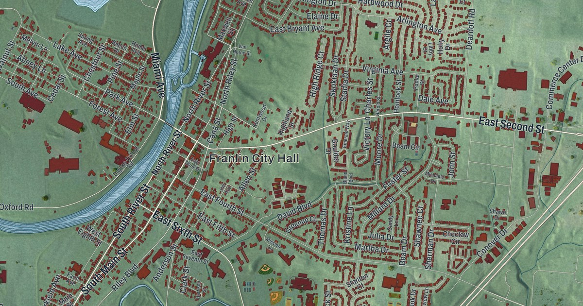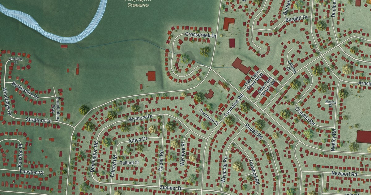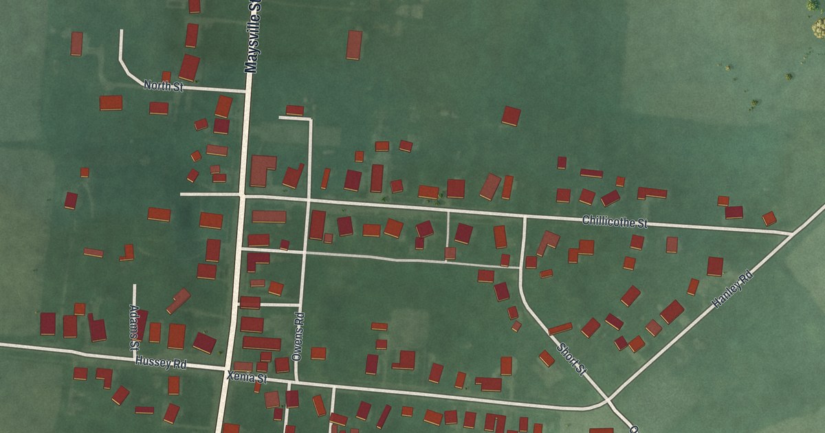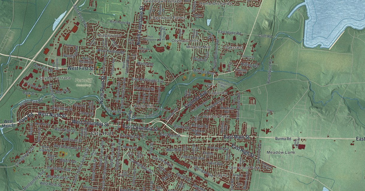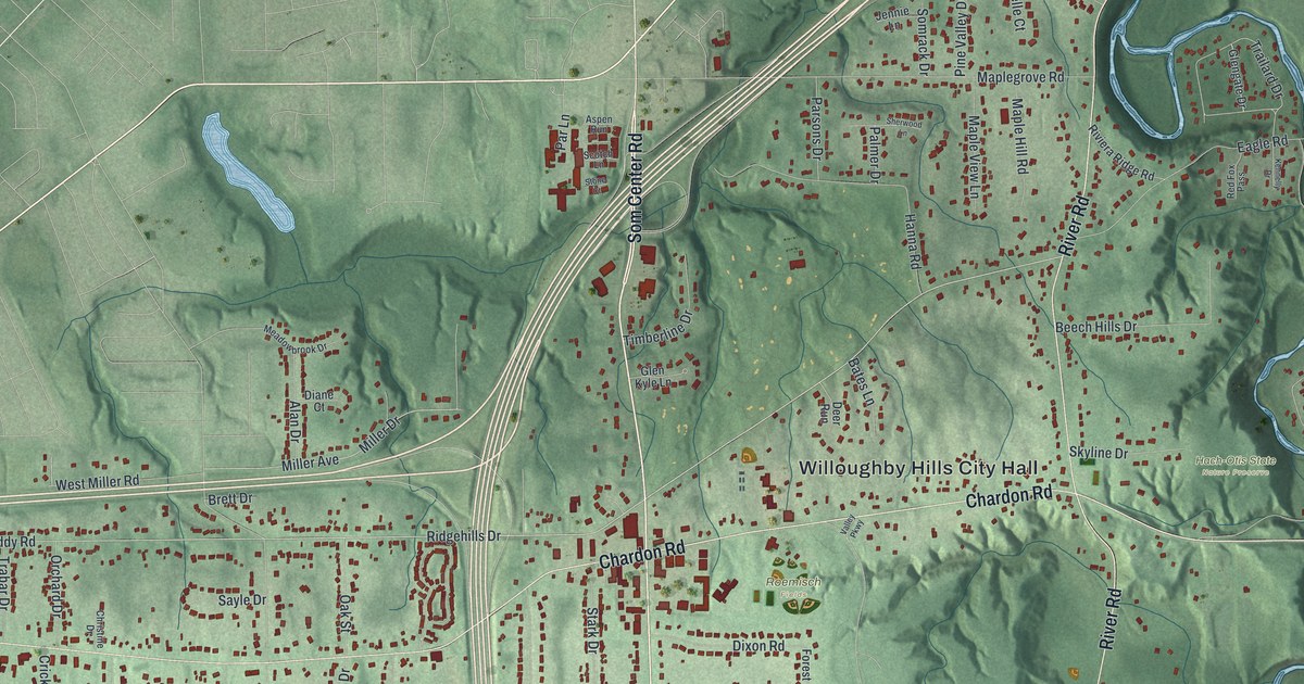
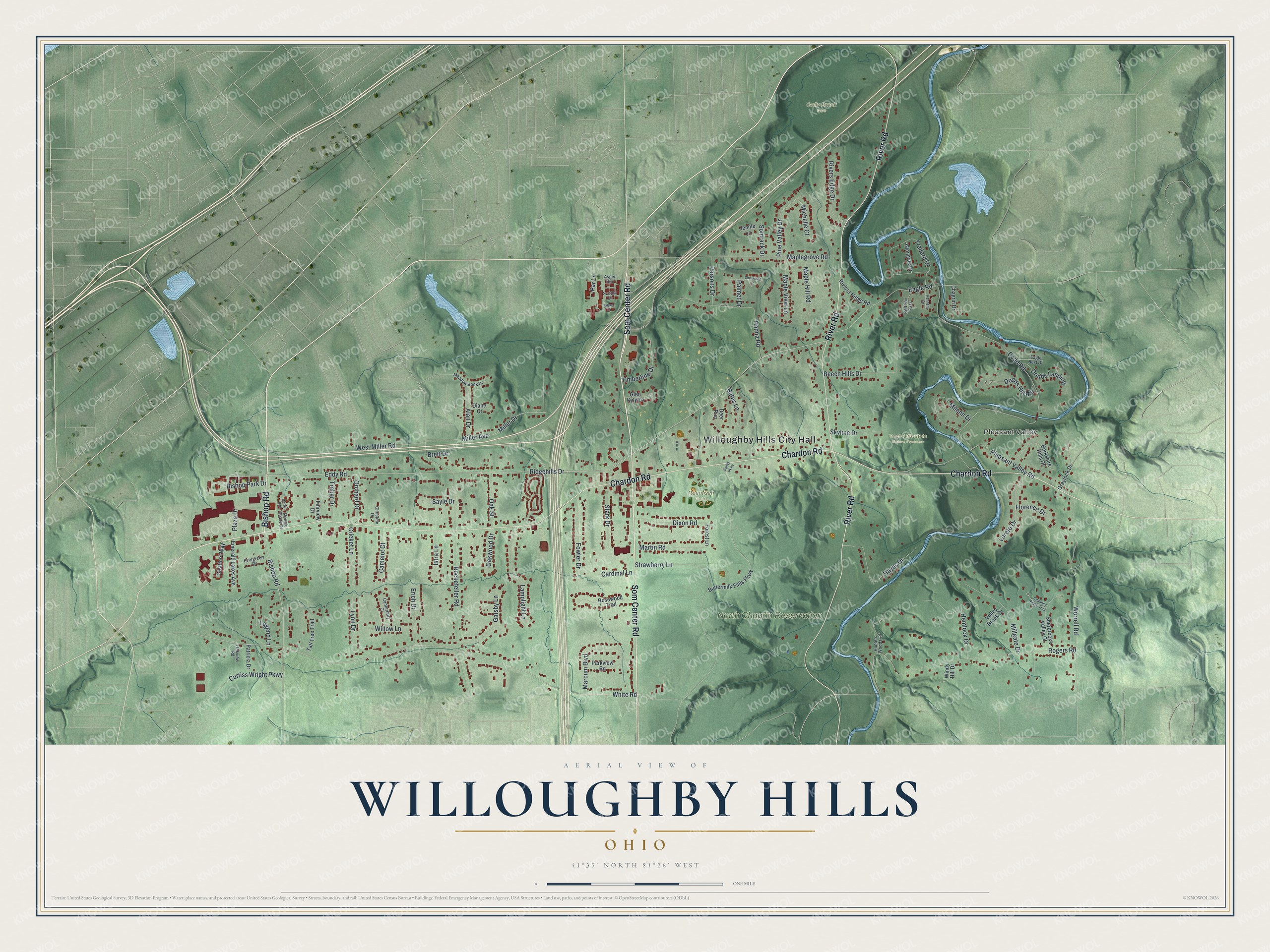
This beautifully detailed map of Willoughby Hills, Ohio was created in 2026 using aerial imagery combined with modern topographical, census, street and landmark data. It's a modern aerial view of Willoughby Hills in Lake County, Ohio, that combines modern data with a vintage aesthetic. The roads feature printed names, and if you look closely you can find your exact house accurately shown in its correct location.
Explore an aerial view of Willoughby Hills, Ohio
On this map you'll find Willoughby Hills City Hall, Pleasant Valley, Gully Brook Park, Hach-Otis State Nature Preserve, North Chagrin Reservation, Roemisch Fields, Som Center Road, Bishop Road, Chardon Road, River Road, White Road, Ridgehills Drive, and more. Each red shape is a building, so zoom in on the preview and look for yours.
Willoughby Hills has a story worth telling. The Ohio History Connection puts it this way: "This single lane Pleasant Valley Road Bridge was constructed in 1881 by the Wrought Iron Bridge Company of Canton, Ohio, and is a 163 foot-long Whipple Truss (double intersection Pratt through truss). It replaced a wooden bridge that portaged the west branch of the Chagrin River a few hundred yards downstream."
Willoughby Hills is a city in Lake County. The Census Bureau counted 10,019 people here in 2020.
Take a closer look at the Willoughby Hills map
Names on this map
These names are printed on this map.
Places: Willoughby Hills City Hall, Pleasant Valley, Gully Brook Park, Hach-Otis State Nature Preserve, North Chagrin Reservation and Roemisch Fields.
Streets and roads: Som Center Road, Bishop Road, Chardon Road, River Road, White Road, Ridgehills Drive, Rogers Road, Eddy Road, Dodd Road, Rockefeller Road, Strawberry Lane, Maplegrove Road.
More street names, A to Z
Alan Drive, Aspen Run, Bates Lane, Beech Hills Drive, Berkshire Hills Drive, Bishop Park Drive, Brett Drive, Buttermilk Falls Parkway, Camelot Court, Canterbury Court, Cardinal Lane, Chagrin Drive, Chimney Ridge Trail, Christine Drive, Cricket Lane, Curtiss Wright Parkway, Deer Run, Derby Run, Diane Court, Dixon Road, Dodds Hill Road, Dodds Landing, Eagle Nest Drive, Eagle Road, Emerald Lakes Avenue, Erich Drive, Evergreen Drive, Fairview Drive, Florence Drive, Forest Lane, Fowler Drive, Gatsby Lane, Glengate Drive, Glen Kyle Lane, Graylock Drive, Hanna Road, Hayes Drive, Hemlock Drive, Hunters Woods Lane, Istra Lane, Jennie Lane, Kennelly Drive, Lamplight Lane, Legend Lane, Loreto Drive, Lynn Drive, Maple Hill Road, Maple View Lane, Marcum Boulevard, Martin Road, Meadowbrook Drive, Michelle Court, Milann Drive, Miller Avenue, Miller Drive, Millgate Drive, Oak Street, Oakview Road, Oakwood Drive, Orchard Drive, Palmer Drive, Parkview Road, Par Lane, Parsons Drive, Patricia Drive, Pine Valley Drive, Plaza Drive, Pleasant Valley Road, Red Fox Pass, Rivers Edge Drive, Riviera Ridge Road, Rosewood Trail, Sayle Drive, Scotch Lane, Sherbrooke Valley Court, Sherwood Lane, Skyline Drive, Somrack Drive, Stark Drive, Steeple Chase Drive, Stone Court, Stratford Way, Tall Tree Trail, Timberline Drive, Trabar Drive, Trailard Drive, Valley Brook Drive, Valley Parkway, West Miller Road, Willow Lane, Windy Hill Drive, Worrell Road.
Created by KNOWOL in 2026. The buildings are small red shapes, the roads carry their printed names, and shaded relief shows the shape of the land. The title panel reads "AERIAL VIEW OF WILLOUGHBY HILLS OHIO" with 4, 1, °, 3, 5, ', , N, O, R, T, H, , 8, 1, °, 2, 6, ', , W, E, S, T.
It looks right in a kitchen, an office or a den, and it's a gift for anyone who grew up in Willoughby Hills or moved away. Open the preview and find your street. See sizes and frames for the Willoughby Hills map.