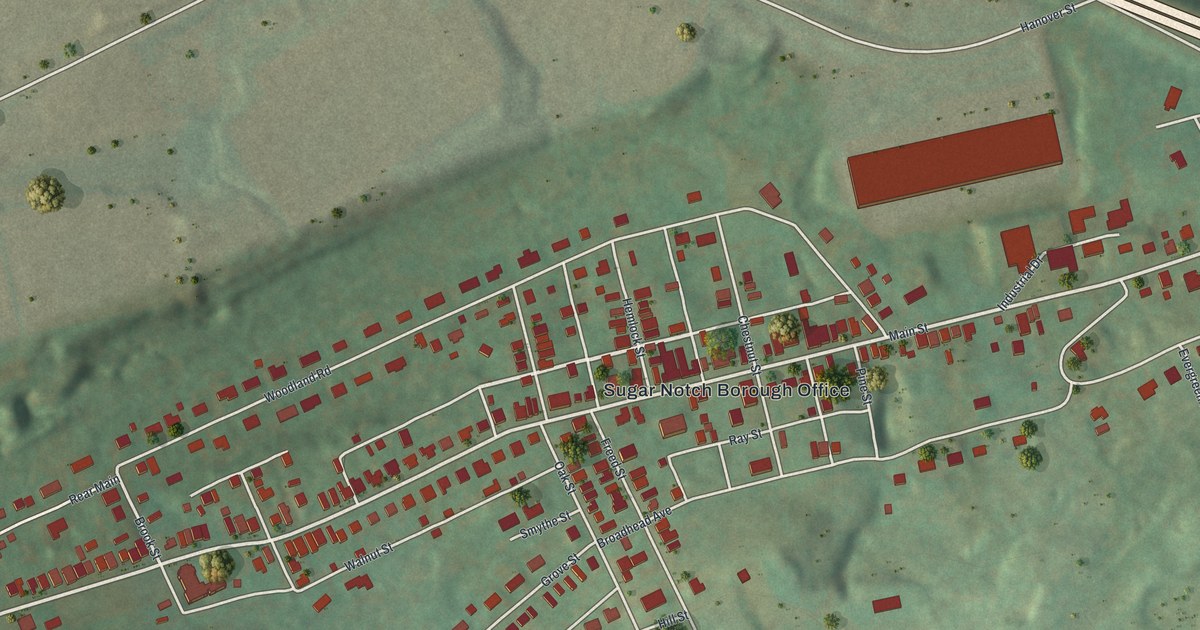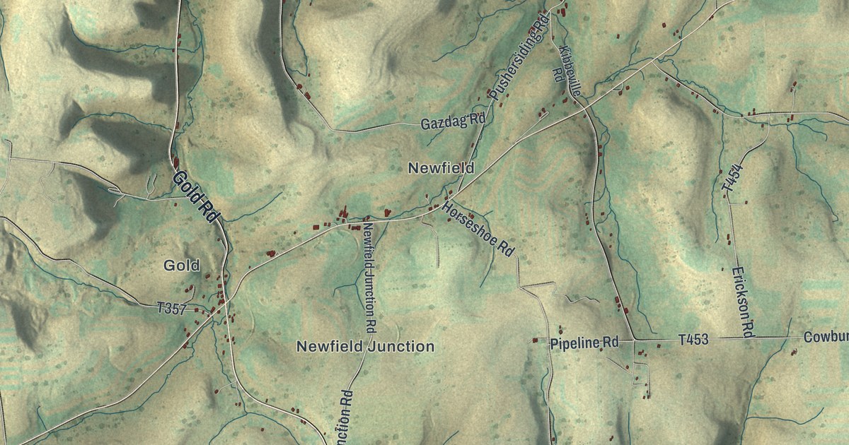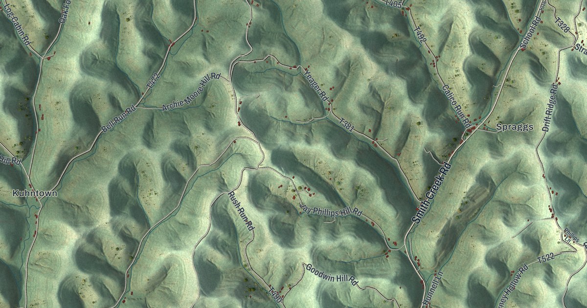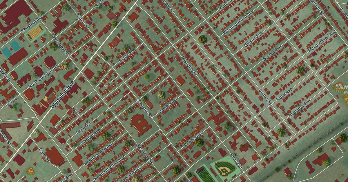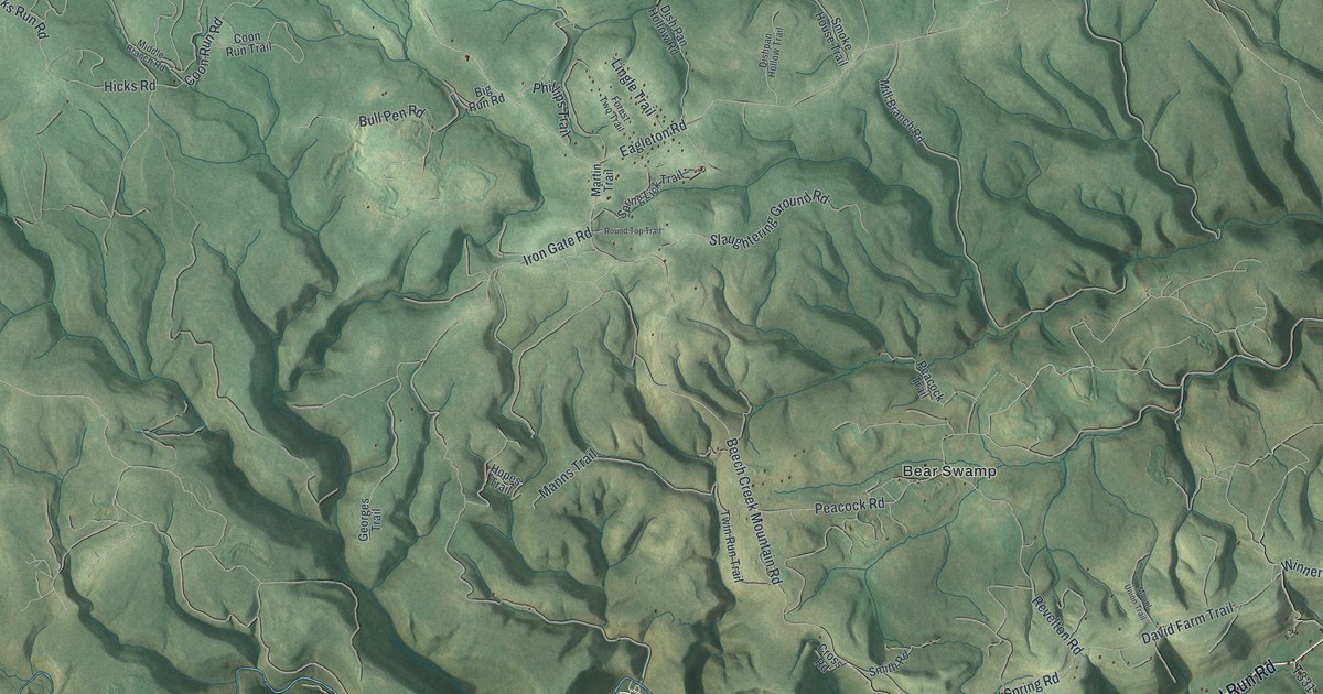
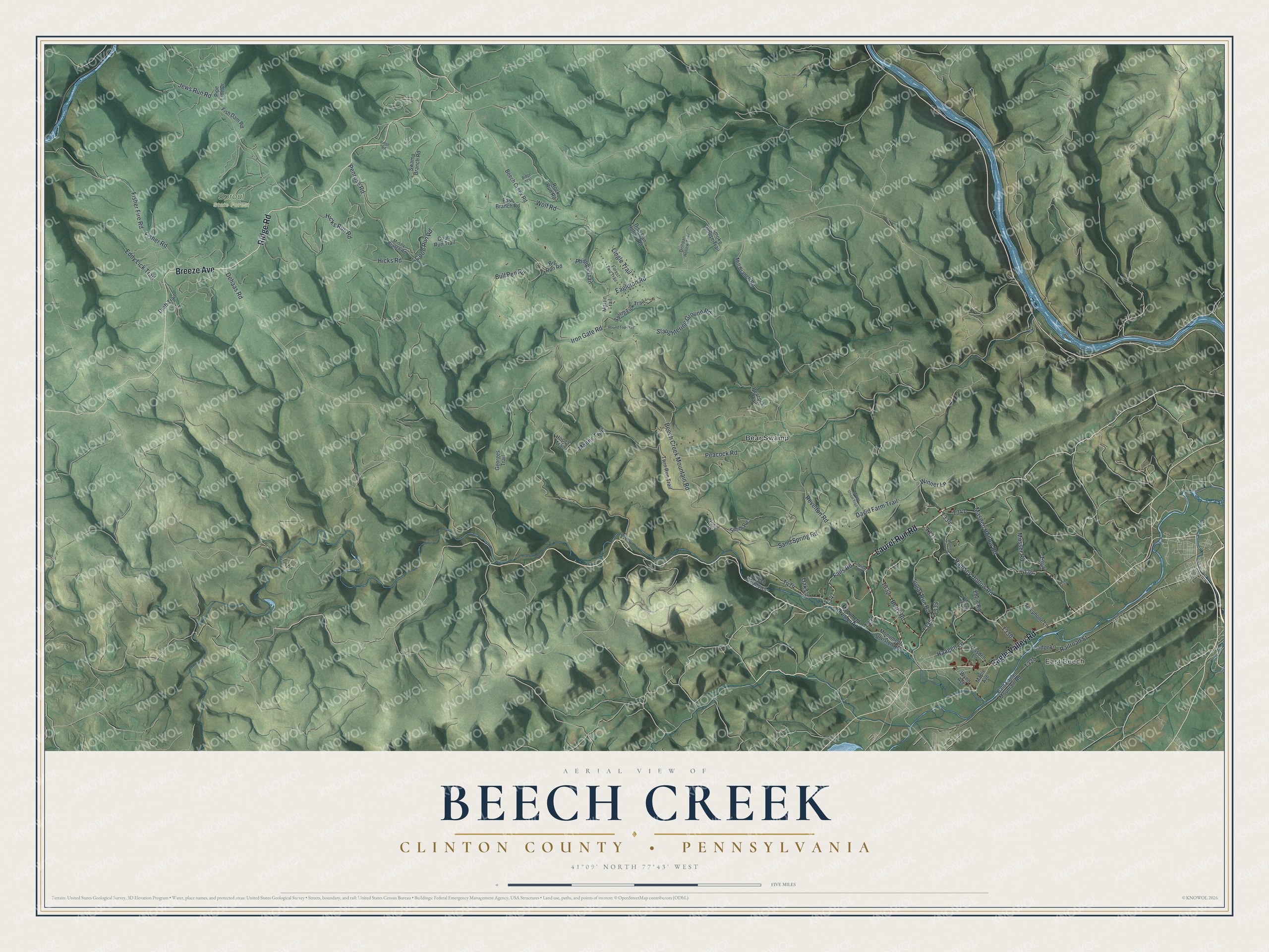
This beautifully detailed map of Beech Creek Township, Pennsylvania was created in 2026 using aerial imagery combined with modern topographical, census, street and landmark data. It's a modern aerial view of Beech Creek Township in Clinton County, Pennsylvania, that combines modern data with a vintage aesthetic. The roads feature printed names, and if you look closely you can find your exact house accurately shown in its correct location.
Explore an aerial view of Beech Creek Township, Pennsylvania
On this map you'll find East Beech, Sproul State Forest, Bear Swamp, Laurel Run Road, Breeze Avenue, Ridge Road, Eagle Valley Road, T335, Sugar Run Road, Beech Creek Mountain Road, Peacock Road, T331, and more. Each red shape is a building, so zoom in on the preview and look for yours.
Beech Creek Township is a place in Clinton County. The Census Bureau counted 972 people here in 2020. The map prints the town name in its title panel, with the coordinates below it.
Take a closer look at the Beech Creek Township map
Names on this map
These names are printed on this map.
Places: East Beech, Sproul State Forest and Bear Swamp.
Streets and roads: Laurel Run Road, Breeze Avenue, Ridge Road, Eagle Valley Road, Sugar Run Road, Beech Creek Mountain Road, Peacock Road, Penrose Road, Fisher Fire Road, Sand Spring Road, Ramsey Hollow Road, Falls Road.
More street names, A to Z
Bald Eagle Mountain Road, Beech Creek Road, Beech Meadows, Berry Road, Big Run Road, Bridge Lane, Bull Pen Road, Coon Run Road, Coon Run Trail, Cross Road, David Farm Trail, Dehaas Road, Dish Pan Hollow Road, Dishpan Hollow Trail, Draft Trail, Eagleton Road, East Branch Road, Eddy Lick Trail, Engle Road, Fish Dam Road, Fisher Road, Forest Two Trail, Georges Trail, Haagen Lane, Heisers Road, Hicks Road, Hicks Run Road, Hopes Trail, Iron Gate Road, Jews Run Road, Karch Lane, Lingle Trail, Manns Trail, Maple Avenue, Martin Trail, Masden Hollow Road, Masden Lane, Middle Branch Road, Mill Branch Road, Monument Orviston Road, Mosser Road, Mount Union Trail, Muthler Hollow Road, Oak Lane, Peacock Trail, Phillips Trail, Pipe Line Drive, Railroad Street, Revelton Road, Ridge Trail, Rock Run Road, Round Top Trail, Slaughtering Ground Road, Smith Road, Smoke House Trail, Spring Lick Trail, Swamp Branch Road, Telephone Lane, Twin Run Trail, Winner Lane, Wolf Road, Wynn Avenue.
Created by KNOWOL in 2026. The buildings are small red shapes, the roads carry their printed names, and shaded relief shows the shape of the land. The title panel reads "AERIAL VIEW OF BEECH CREEK CLINTON COUNTY • PENNSYLVANIA" with 4, 1, °, 0, 9, ', , N, O, R, T, H, , 7, 7, °, 4, 3, ', , W, E, S, T.
It looks right in a kitchen, an office or a den, and it's a gift for anyone who grew up in Beech Creek Township or moved away. Open the preview and find your street. See sizes and frames for the Beech Creek, Clinton County map.