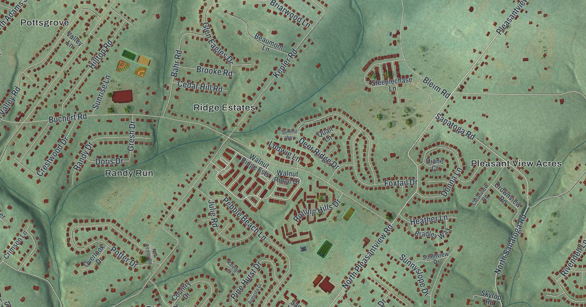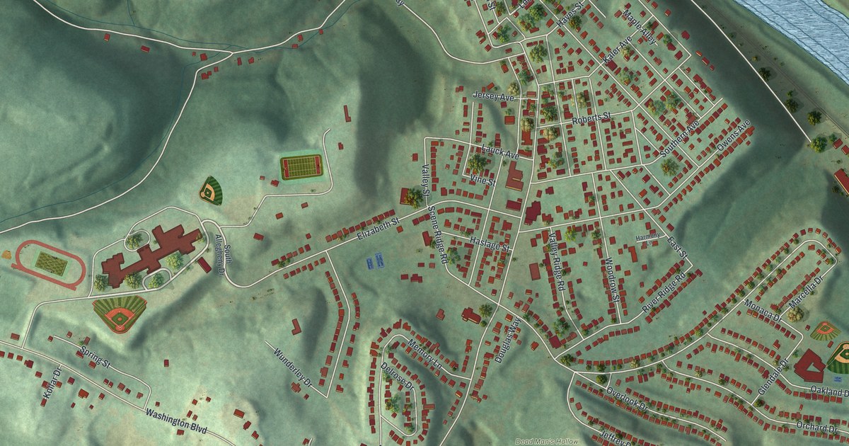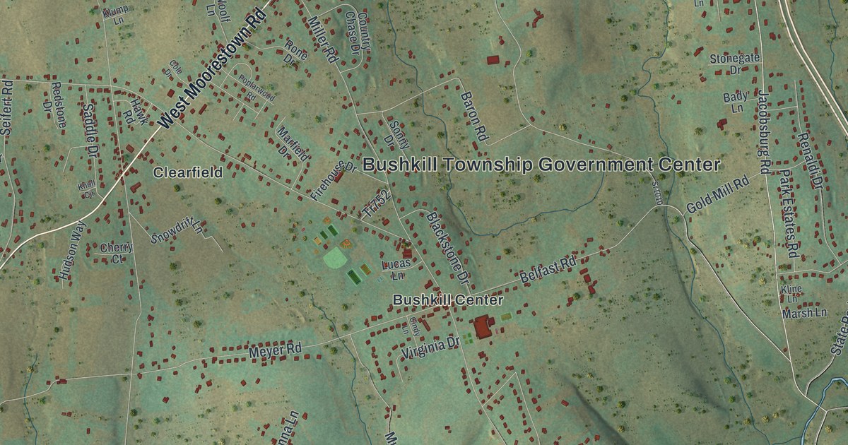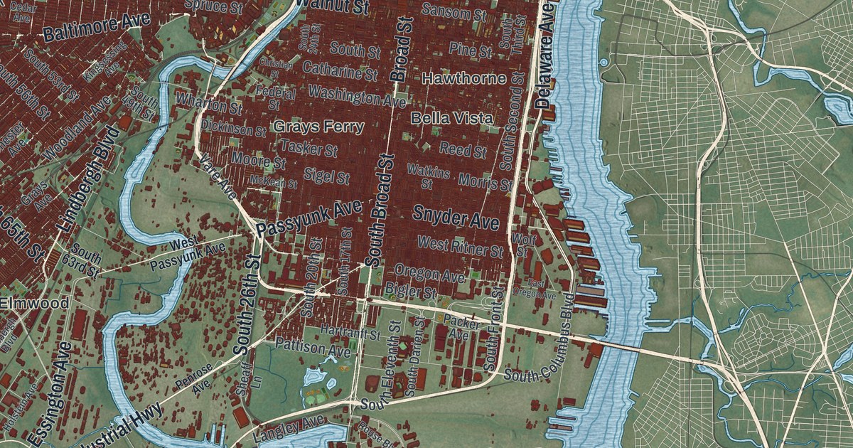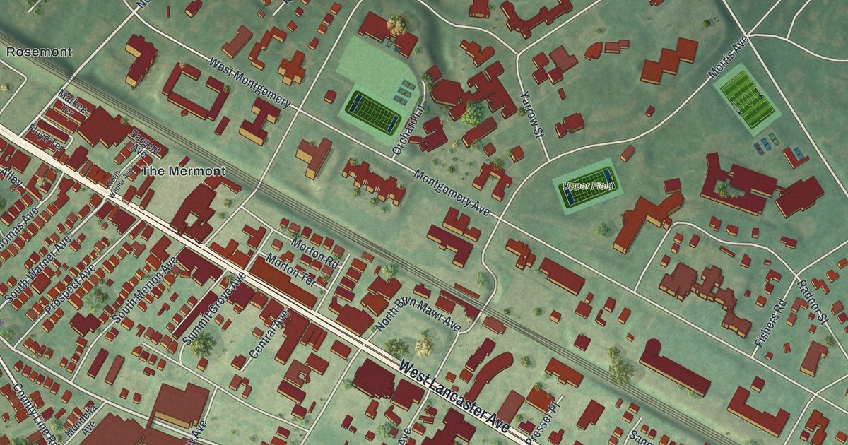
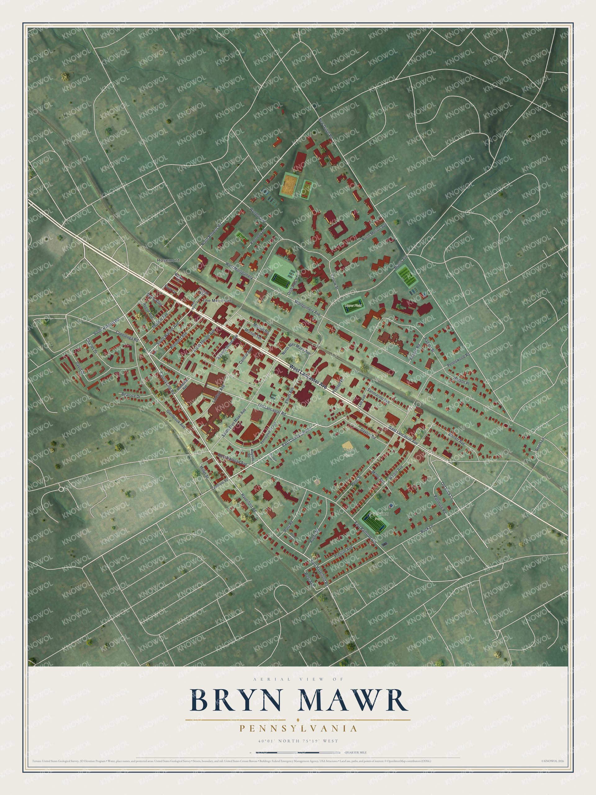
This beautifully detailed map of Bryn Mawr, Pennsylvania was created in 2026 using aerial imagery combined with modern topographical, census, street and landmark data. It's a modern aerial view of Bryn Mawr in Montgomery County, Pennsylvania, that combines modern data with a vintage aesthetic. The roads feature printed names, and if you look closely you can find your exact house accurately shown in its correct location.
Explore an aerial view of Bryn Mawr, Pennsylvania
On this map you'll find Polo Field, Preston Park, Upper Field, Rosemont, The Mermont, West Lancaster Avenue, Old Lancaster Road, County Line Road, East County Line Road, Haverford Road, East Haverford Road, North Roberts Road, and more. Each red shape is a building, so zoom in on the preview and look for yours.
Bryn Mawr has a story worth telling. The record at data.pa.gov puts it this way: "Among the largest open-air in-ground swimming pools in the US when it opened here in 1895, it measured 500 feet by 100 feet."
Bryn Mawr is a community in Montgomery County. The Census Bureau counted 5,879 people here in 2020.
Take a closer look at the Bryn Mawr map
Names on this map
These names are printed on this map.
Places: Polo Field, Preston Park, Upper Field, Rosemont and The Mermont.
Streets and roads: West Lancaster Avenue, Old Lancaster Road, County Line Road, East County Line Road, Haverford Road, East Haverford Road, North Roberts Road, South Warner Avenue, New Gulph Road, West Railroad Avenue, East Railroad Avenue, Old Buck Lane.
More street names, A to Z
Barrett Avenue, Beatrice Drive, Booth Lane, Buck Lane, Central Avenue, Charles Drive, Conestoga Road, David Drive, Dayton Road, Doyle Alley, Elliott Avenue, Fishers Road, Floyd Terrace, Glenbrook Avenue, Kennedy Lane, Landover Road, Lee Avenue, Lindsay Avenue, Maison Place, Markee Terrace, Martin Avenue, Miller Avenue, Miller Street, Mondella Avenue, Montgomery Avenue, Morris Avenue, Morton Road, Morton Terrace, North Bryn Mawr Avenue, North Merion Avenue, North Warner Avenue, Orchard Lane, Panmure Road, Penn Street, Pennswood Road, Pennsylvania Avenue, Polo Circle, Polo Road, Presser Place, Preston Avenue, Prospect Avenue, Radnor Street, Reese Avenue, Rugby Road, Sanmarino Avenue, Sargent Avenue, Shamrock Lane, South Bryn Mawr Avenue, South Merion Avenue, South Roberts Road, Summit Grove Avenue, Thomas Avenue, Wayside Road, West Avenue, West Montgomery, Wyndon Avenue, Yarrow Street.
Created by KNOWOL in 2026. The buildings are small red shapes, the roads carry their printed names, and shaded relief shows the shape of the land. The title panel reads "AERIAL VIEW OF BRYN MAWR PENNSYLVANIA" with 4, 0, °, 0, 1, ', , N, O, R, T, H, , 7, 5, °, 1, 9, ', , W, E, S, T.
It looks right in a kitchen, an office or a den, and it's a gift for anyone who grew up in Bryn Mawr or moved away. Open the preview and find your street. See sizes and frames for the Bryn Mawr map.