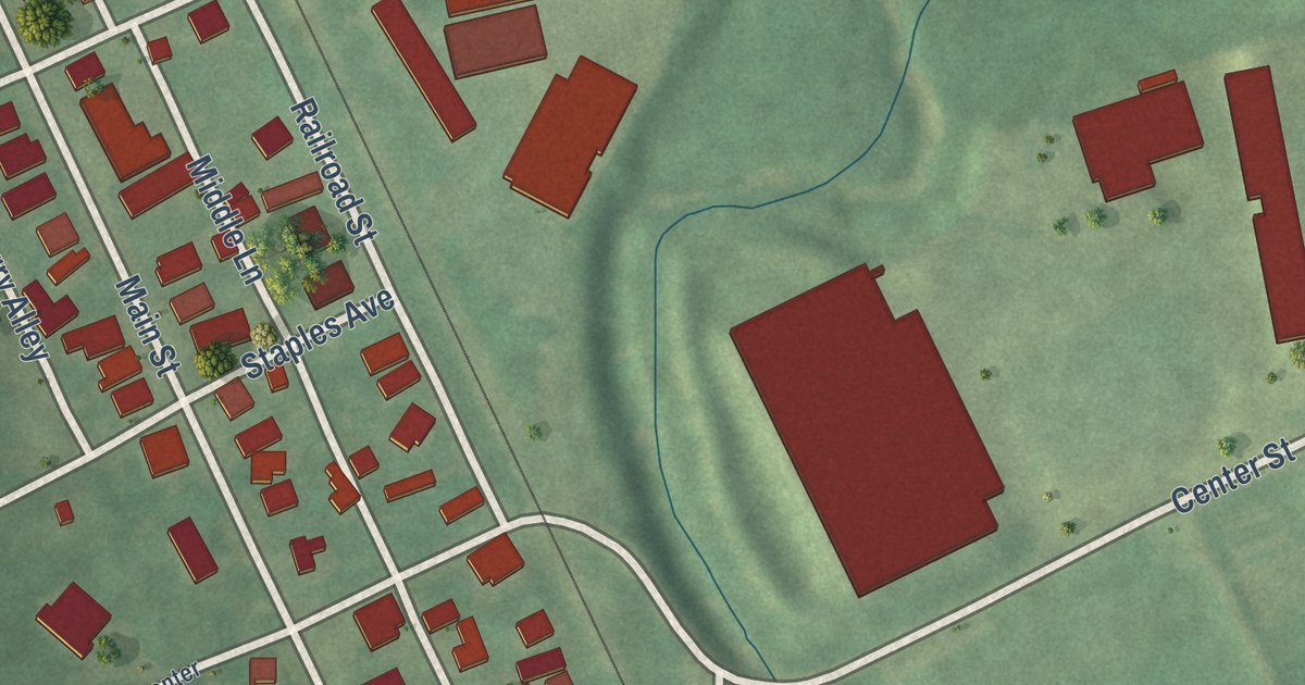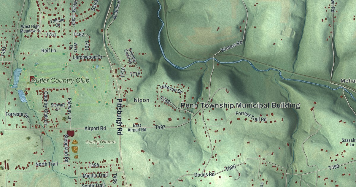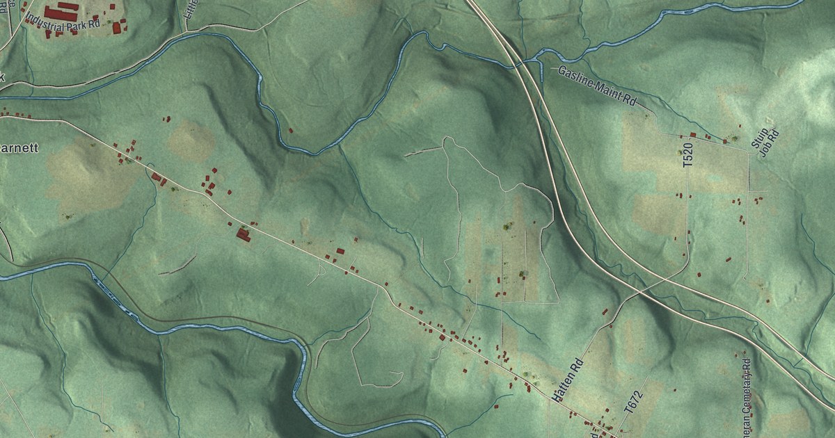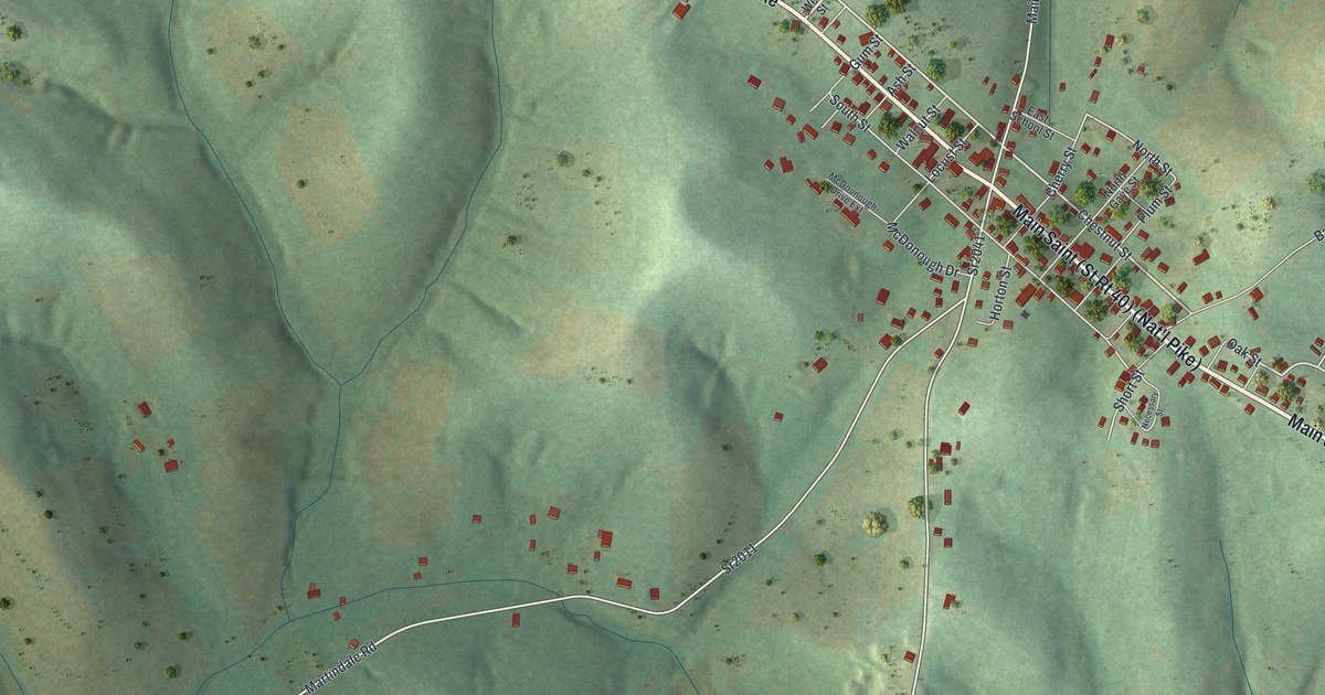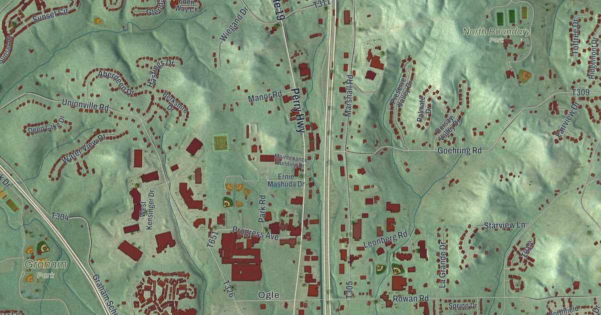
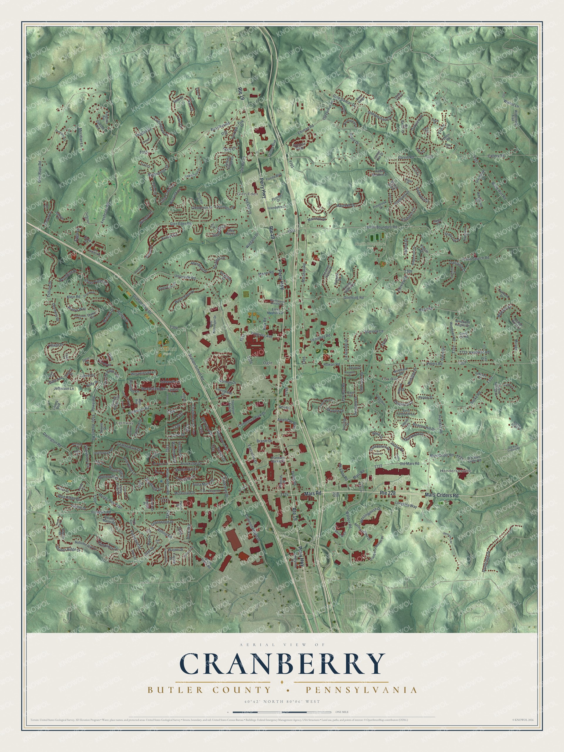
This beautifully detailed map of Cranberry, Butler County, Pennsylvania was created in 2026 using aerial imagery combined with modern topographical, census, street and landmark data. It’s a one-of-a-kind view of Cranberry that combines accurate data with a vintage aesthetic. The map shows every building in its true location, many of the roads carry their names, and the shaded topographic relief shows the shape of the land.
Explore an aerial view of Cranberry, Butler County, Pennsylvania
On the map you’ll find Hendersonville, Fernway, Glen Eden, Graham Park, North Boundary Park, Fox Run, and Ogle, along with Perry Highway, Mars Road, Mars-Criders Road, Greenwood Drive, and more. If you look closely you can even find your house accurately drawn in its correct location. Zoom in on the preview to look for yours.
Did you know this piece of Cranberry, Butler County, Pennsylvania history?
Cranberry Township took its name from wild berries that grew thick along Brush Creek. Those cranberries drew deer, which in turn brought Native American hunters. By the 1880s, drought and farming had wiped out the fruit that gave the township its name. Brothers Mathew and William Graham became the first European settlers here in 1796.
Take a closer look at the Cranberry, Butler County map
Street and place names on the Cranberry, Butler County, Pennsylvania map
These names are printed on the map of Cranberry, Butler County, Pennsylvania.
Places: Hendersonville, Fernway, Glen Eden, Graham Park, North Boundary Park, Fox Run and Ogle.
Streets and roads: Perry Highway, Route 228, Mars Road, Route 19, Mars-Criders Road, Greenwood Drive, Rolling Road, Freshcorn Road, Walnut Lane, Graham Park Drive, Holly Drive, Freedom Road.
More street names, A to Z
10 Point Lane, Aberdeen Drive, Acer Court, Adare Court, Alex Court, Alps Avenue, American Way, Andrew Drive, Anna Marie Drive, Ashbury Court, Ashford Drive, Auburn Drive, Autumn Hill Drive, Averys Way, Bayberry Lane, Beacon Hill Drive, Bear Run Road, Belmart Place, Berkley Manor Drive, Berkshire Drive, Bertha Lamme Drive, Birch Drive, Birdie Drive, Blackmoore Drive, Blue Ridge Drive, Boardwalk, Bonnie Vue Drive, Brandt Drive, Briarwood Lane, Brookston Drive, Brush Creek Road, Bucks Road, Burke Road, Callery Road, Camelot Court, Cameron Drive, Canterbury Trail, Carlye Drive, Cashmere Court, Cavan Drive, Center Oak Drive, Century Boulevard, Chadborne Court, Chaparral Drive, Cherrington Drive, Cherry Tree Way, Clearbrook Drive, Commerce Park Drive, Commonwealth Drive, Cottingham Place, Cranberry Pointe, Cranberry Springs Drive, Cranberry Square Drive, Cranberry Woods Drive, Creekview Circle, Cross Creek Drive, Crossing Ridge Trail, Crystal Springs Drive, Dalliance Court, Darlington Road, David Hill Road, Dawson Avenue, Deemers Drive, Deep Lake Drive, Deerfield Drive, Dorsay Valley Drive, Dorsch Drive, Dover Drive, Drake Circle, Dutilh Road, Eagle Drive, Eden Way Court, Ehrman Road, Elk Drive, Elmhurst Circle, Emeryville Drive, English Drive, Ennis Road, Erin Drive, Ernie Mashuda Drive, Es Farms Drive, Evan Court, Executive Drive, Fairview Drive, Fayette Drive, Feltham Lane, Florida Boulevard, Fox Run Road, Foxwood Drive, Franklin Road, Friendship Lane, Galer Drive, Gallant Fox Lane, Garvin Road, Gate Dancer Drive, Glenbrook Drive, Glendale Court, Glen Eden Road, Glen Rape Road, Goehring Road, Golden Ridge Court, Grace Drive, Graham School Road, Grandshire Drive, Greenbriar Lane, Green Fields Court, Gulch Lane, Haine School Road, Haldeman Drive, Hampshire Drive, Hamstead, Hartland Drive, Harvest Drive, Hastings Drive, Havenwood Drive, Hazelwood Drive, Heathercroft Drive, Heights Drive, Helen Court, Heston Drive, Hidden Meadow Drive, Hillcrest Drive, Hope Road, Hunter Drive, Hunting Ridge Trail, Isleworth Lane, Jaclyn Drive, Jane Street, Jefferson Lane, Jessica Drive, Joan Street, Kerry Court, Kilbuck Drive, Kingston Avenue, Kira Circle, Kirkwood Drive, Klein Road, La Grande Drive, Lakevue Drive, Laurel Drive, Laurelwood Drive, Lawnview Court, Leatherbark Drive, Leatherbark Road, Lee Drive, Leonberg Road, Liberty Boulevard, Linehan Place, Little Creek Lane, Locust Lane, Lois Lane, Longtree Way, Luke Court, Lundy Court, Macintosh Court, Maintenance Building Drive, Majestic Drive, Mallard Drive, Manor Road, Mars Crider Road, Marshall Drive, Marshall Road, Mary Street, Maureen Drive, McDonald Drive, McElroy Road, McIntyre Lane, Meridian Lane, Mews Lane, Middleground Place, Mirage, Monmouth Drive, Mystic Pine Trail, Nickolas Drive, Norman Drive, North Boundary Road, Northfield Road, Oakview Drive, Old Ehrman Road, Old Farm Road, Old Franklin Road, Old Mars Crider Road, Old Mars Criders Road, Old Mars Road, Old Route 19, Old Station Road, Ole Route 19, Opal Drive, Palmate Drive, Park Road, Parkwood Drive, Partridge Drive, Patriot Drive, Peace Street, Pemberley Drive, Perry Circle, Peters Road, Pinebrook Drive, Pinehurst Drive, Pioneer Drive, Plains Church Road, Plum Court, Poplar Place, Powell Road, Powel Road, Preserve Valley Drive, Progress Avenue, Quail Drive, Quarter Horse Lane, Redwood Court, Reiser Court, Ridgemont Drive, Riva Ridge, Robinhood Drive, Rochester Road, Romford Lane, Rose Drive, Rowan Road, Ruth Street, Saige Court, Saint Leonards Lane, Samuel Drive, Scarlet Peak Court, Scenic Ridge Court, Second Street, Seth Drive, Settlers Village Circle, Shady Oak Drive, Sherwood Drive, Sir Barton Court, Skyview Drive, Slate Avenue, Smith Drive, Southridge Drive, Spring Drive, Starview Lane, Steeplechase Drive, Stein Drive, Stockton Ridge, Stonefield Drive, Strawberry Circle, Sunset Circle, Sunset Court, Sussex Drive, Tara Court, Ten Point Lane, Thompson Park Drive, Timberwood Drive, Toftree Drive, Trail Court, Treesdale Drive, Trillium Drive, Turfgrass Drive, Tyler Drive, Unionville Road, Valerie Drive, Valley Forge Drive, Valleyview Drive, Vandivort Road, Village Court, Village Drive, Walden Road, Walnut Grove, Warwick Lane, Waterford Court, Water View Drive, Wayne Drive, Wealdstone Road, Westinghouse Drive, West Kensinger Drive, Westminster Lane, Wheatfield Drive, Wiegand Drive, Wilderness Trail, Windgap Drive, Windsor Court, Windwood Heights Drive, Winterbrook Drive, Wolfe Run Road, Woodbine Drive, Woodcock Drive, Wood Hollow Drive, Woodlawn Road, Woodmont Drive, Woodridge Drive, Wyndmere Drive, York Drive, York Road, Yorktown Drive.
See the Cranberry, Butler County, Pennsylvania map on a wall
The Cranberry, Butler County map as an 18 x 24 inch print in a black frame.

This beautifully detailed map of Cranberry, Butler County makes an attractive addition to your office, library, or den, and it can even be used to teach children the geography and history of the area. It also makes a great gift for anyone with Cranberry roots. When you’re done exploring, click here to get your copy of the Cranberry, Butler County map.