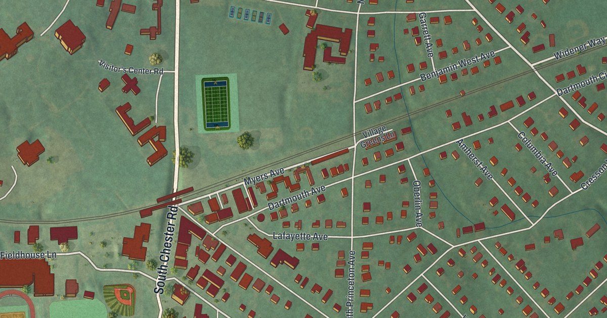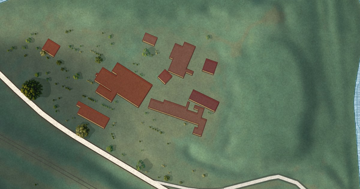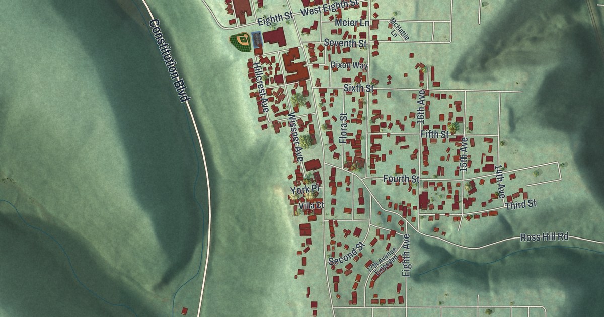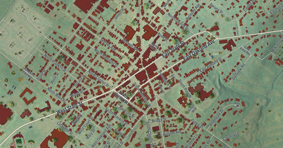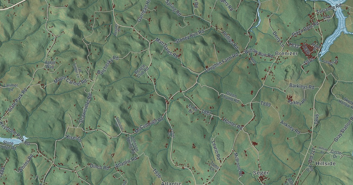
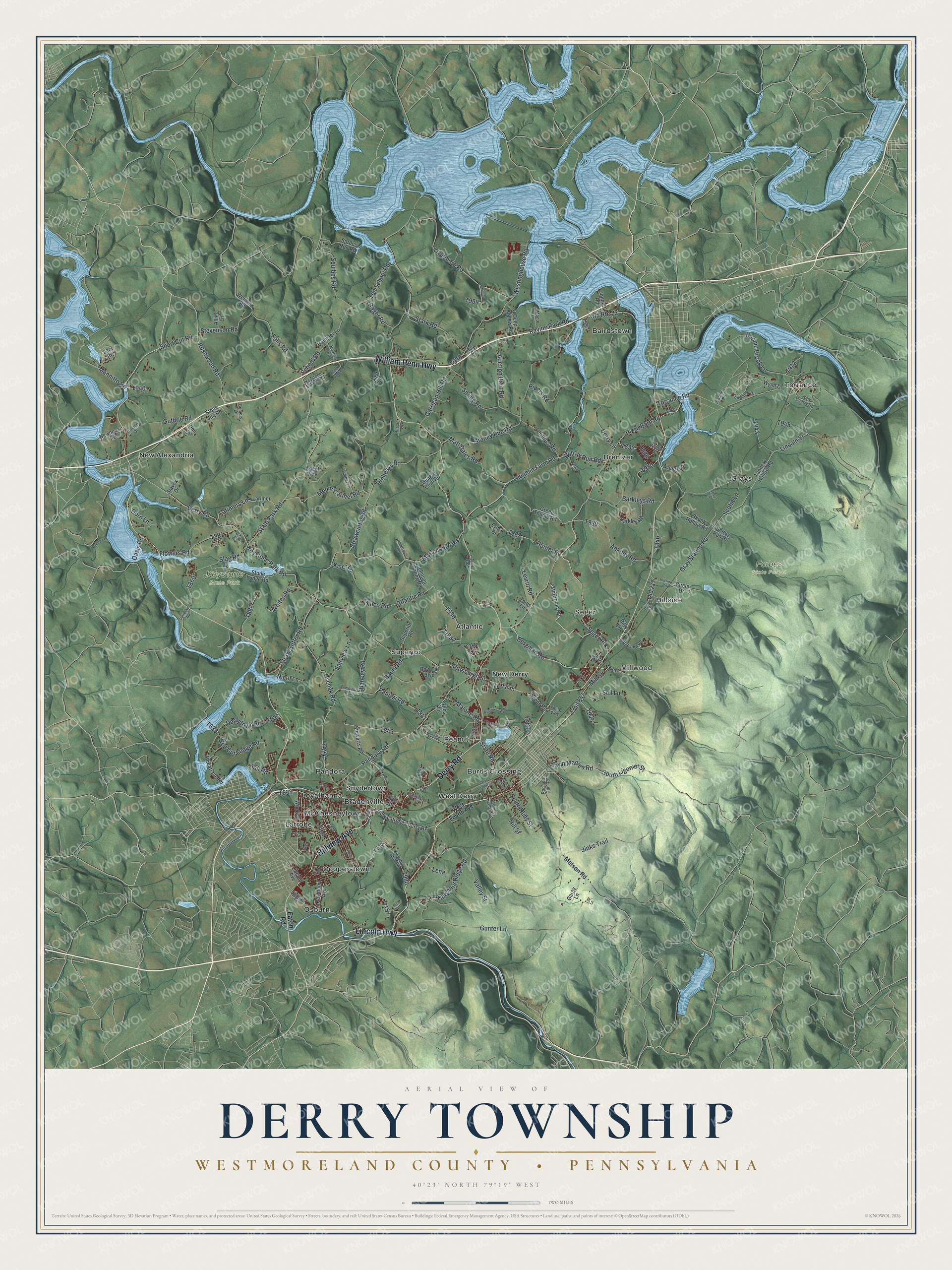
This beautifully detailed map of Derry Township, Westmoreland County, Pennsylvania was created in 2026 using aerial imagery combined with modern topographical, census, street and landmark data. It’s a one-of-a-kind view of Derry Township that combines accurate data with a vintage aesthetic. The map shows every building in its true location, many of the roads carry their names, and the shaded topographic relief shows the shape of the land.
Explore an aerial view of Derry Township, Westmoreland County, Pennsylvania
On the map you’ll find Forbes State Forest, Keystone State Park, Atlantic, Bairdstown, Bradenville, Brenizer, Burds Crossing, Cooperstown, Grays, Hillside, Latrobe, Loyalhanna, and more. If you look closely you can even find your house accurately drawn in its correct location. Zoom in on the preview to look for yours.
Did you know this piece of Derry Township, Westmoreland County, Pennsylvania history?
From the 1882 History of the County of Westmoreland, Pennsylvania: "The largest township in the county at this day, in respect of its population and in regard to it as a political division by itself, is the township of Derry."
Take a closer look at the Derry Township, Westmoreland County map
Street and place names on the Derry Township, Westmoreland County, Pennsylvania map
These names are printed on the map of Derry Township, Westmoreland County, Pennsylvania.
Places: Forbes State Forest, Keystone State Park, Osburn, Millwood, Torrance, West Derry, Loyalhanna, Superior, Hillside, New Alexandria, Brenizer, Grays, Atlantic, Bairdstown, Bradenville, Peanut, Seger, Latrobe, Cooperstown, Burds Crossing, New Derry, Snydertown, McChesneytown and Pandora.
Streets and roads: Hillview Avenue, William Penn Highway, Lincoln Highway, Derry Road, Pizza Barn Road, Seger Road, Bergman Road, Willow Run Road, Mill Street, Trail 847, Gray Station Road, Straw Cutter Road.
More street names, A to Z
21st Street, Agent Way, Alexandria Street, Allied Lane, Androstic Road, Ankney Road, Ash Street, Atlantic Road, Auction Barn Road, Banocy Road, Barchesky Road, Barkley Road, Barkleys Road, Barnhart Road, Baum Road, Beagle Club Road, Bills Lane, Bonnie Brook Lane, Boones Road, Bow Tie Boulevard, Cannery Road, Carey Lane, Chestnut Ridge Road, Chestnut Street, Circle Drive, Clover Drive, Coal Loader Drive, Curry Hollow, Deep Hollow Road, Derbytown Road, Derry Lane, Derry Street, Dinco Road, Don Street, Dorn Lane, Eaton Road, Emily Way, Erma Drive, Fairview Lane, Falls Road, Flowers Road, Garrigan Hill Road, Gast Lane, Gaston Drive, Gomers Lane, Greenfield Road, Green Thumb Road, Gunter Lane, Guthrie Road, Hafer Road, Hall Road, High Street, Hillside Road, Hill Street, Hollister Lane, Hunter Road, Jinks Trail, Johnson Spring Road, Jonnett Road, Kelly Lane, Keystone Estates Road, Keystone Park Road, Kingston Club Road, Kiser Lane, Larimer Lane, Lark Road, Latimers Lane, Laughlin Farm Road, Lena, Lentz Lane, Levrio Road, Ligonier Street, Lincoln Avenue, Lincoln Street, Livermore Road, Longview Drive, Losier Drive, Malone Road, Mannitto Road, Maple Street, Matson Road, Matt Dales Road, McBroom Road, McCullough Road, McFarland Road, Monte Lane, Mount Carmel Road, Newhouse Road, New Latrobe - Derry Road, New Quarry Road, Nicol Lane, North Ruby Street, Oasis Road, Old 217, Old Route 22, Pandora Road, Panizzi Road, Petrosky Road, Phillips Road, Pipers Road, Pittsburgh Street, Pmi Drive, Poole Drive, Rager Road, Ravine Park Road, Raymond Avenue, Recreation Road, Red Cut Lodge Road, Reeds Road, Ressler Drive, Rice Drive, Ridgeview Road, Rios Lane, Rod and Gun Road, Ron Drive, Rushwood Road, School Road, Scotia Lane, Sell Lane, Sessi Drive, Shirey Run Road, Short Cut Road, Short Lane, Skunk Hollow Road, Slag Road, Slavek Drive, Sloan Street, South Ligonier Street, South Ruby Street, South Valley Street, Sportsman Road, Spring Road, Spruce Run Road, Squibbs Road, Stark Road, State Park Road, State Road, Stevenson Road, Stewarts Road, Stone Jug Road, Stone Lodge Road, Stoney Run Road, Strawcutter Road, Superior Road, Tall Timber Lane, Tannery Hollow Road, Ten School Road, Toms Lane, Top Lane, Torrance Road, Tr882, Twin Maples Road, Uschak Road, Valley Street, Washington Street, Weimers Road, West Fourth Avenue, Westinghouse Road, Whites Road, Wood Street, Wynn Drive.
See the Derry Township, Westmoreland County, Pennsylvania map on a wall
The Derry Township, Westmoreland County map as an 18 x 24 inch print in a black frame.

This beautifully detailed map of Derry, Westmoreland County makes an attractive addition to your office, library, or den, and it can even be used to teach children the geography and history of the area. It also makes a great gift for anyone who grew up in Derry Township or moved away. When you’re done exploring, click here to get your copy of the Derry, Westmoreland County map.