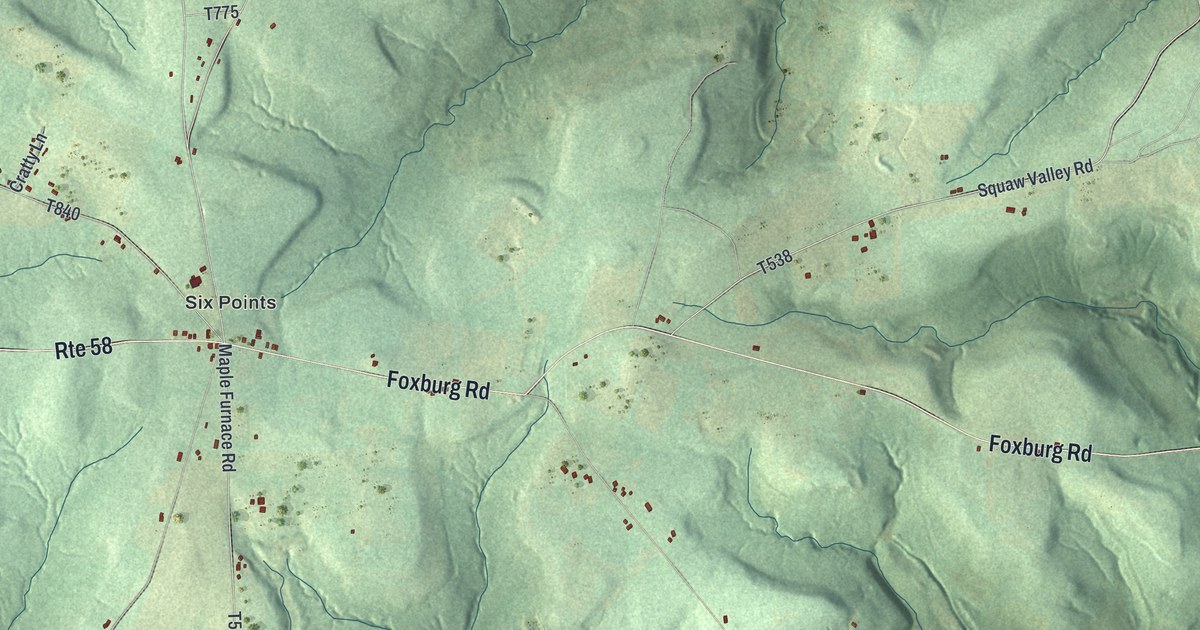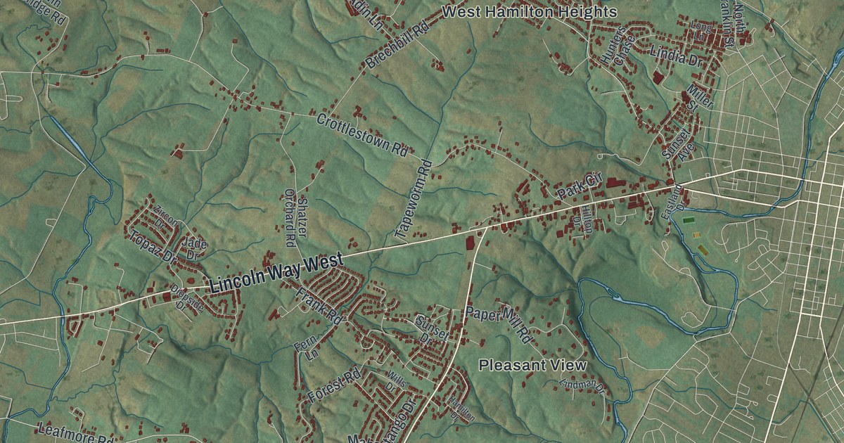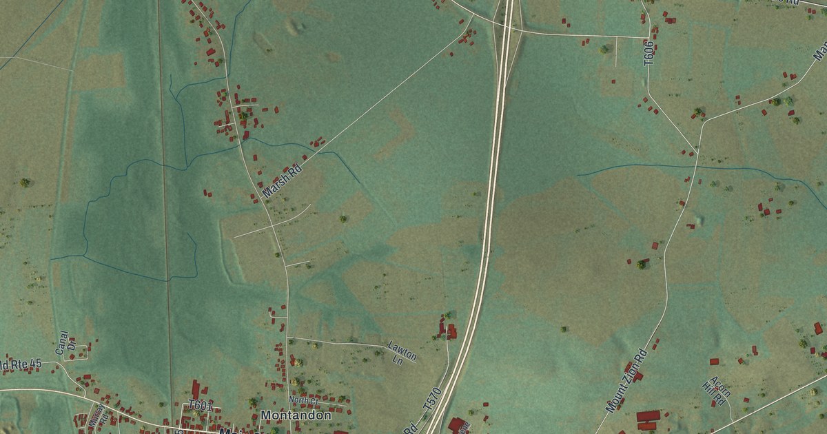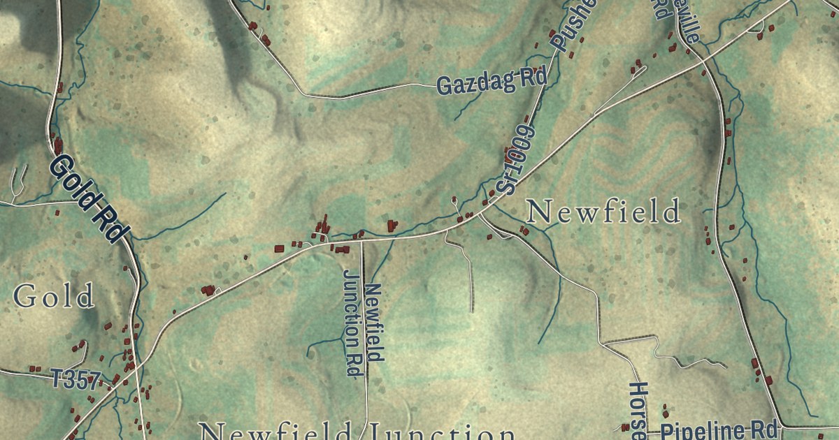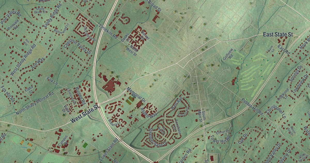
This beautifully detailed map of Doylestown Township, Pennsylvania was created in 2026 using aerial imagery combined with modern topographical, census, street and landmark data. It’s a one-of-a-kind view of Doylestown Township that combines accurate data with a vintage aesthetic. The map shows every building in its true location, many of the roads carry their names, and the shaded topographic relief shows the shape of the land.
Explore an aerial view of Doylestown Township, Pennsylvania
On the map you’ll find Doylestown Township Administration Building, Tradesville, Farm School, Central Park, Fonthill Park, Turk Park, Bennetts Corner, Bridge Point, Castle Valley, Cross Keys, Edison, Fountainville, and more. If you look closely you can even find your house accurately drawn in its correct location. Zoom in on the preview to look for yours.
Did you know this piece of Doylestown Township, Pennsylvania history?
Fonthill, the castle home of archaeologist and tile maker Henry Chapman Mercer, stands in Doylestown Township. Built from 1908 to 1912, it was an early poured concrete house with 44 rooms and more than 200 windows. Mercer decorated it with his own tiles and set ceramics right into the concrete. His Moravian Pottery and Tile Works shares the same grounds.
Take a closer look at the Doylestown Township map
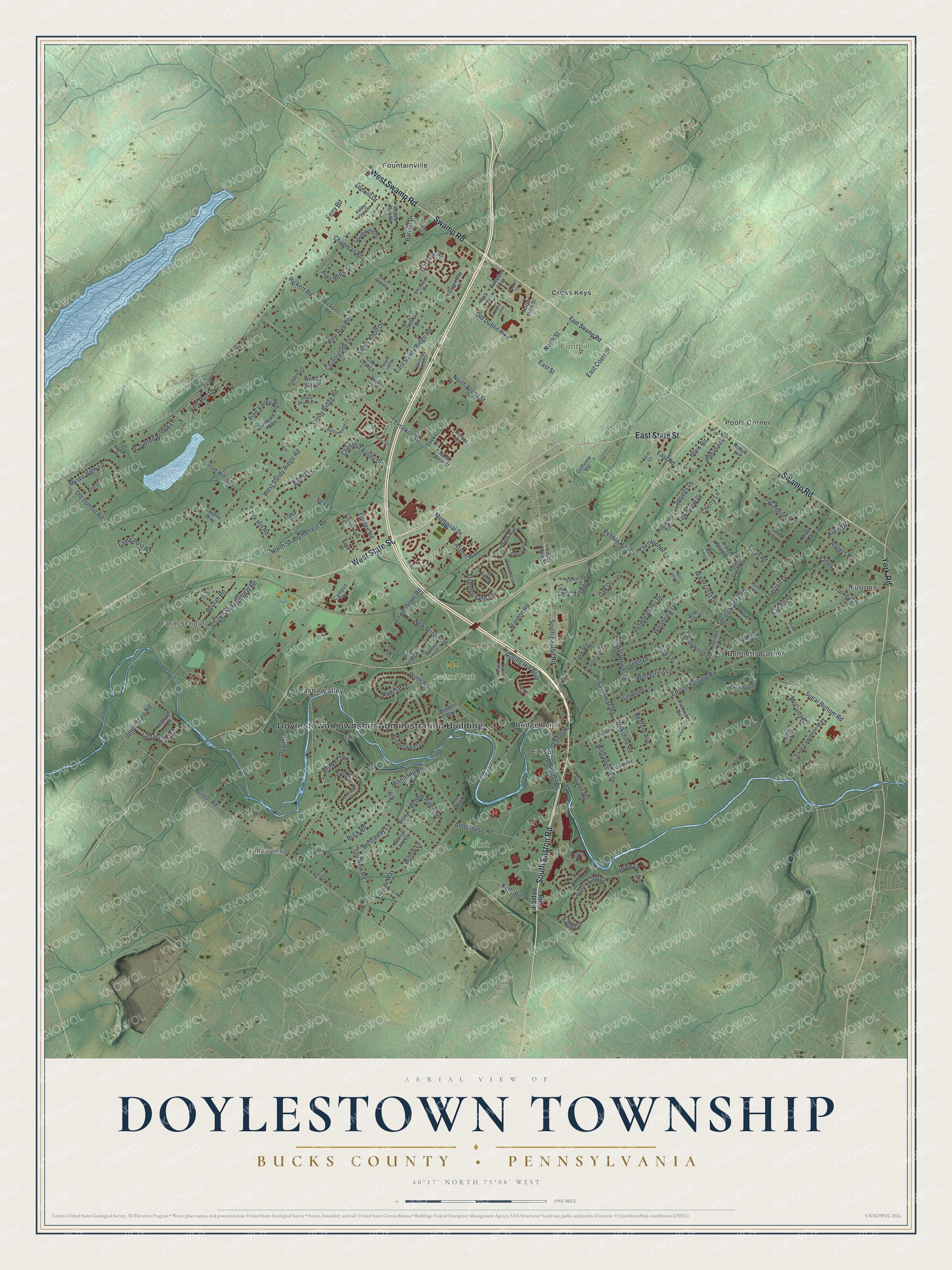
Street and place names on the Doylestown Township, Pennsylvania map
These names are printed on the map of Doylestown Township, Pennsylvania.
Places: Doylestown Township Administration Building, Tradesville, Farm School, Central Park, Fonthill Park, Turk Park, Bennetts Corner, Furlong, Fountainville, Pools Corner, Castle Valley, Cross Keys, Bridge Point and Edison.
Streets and roads: South Easton Road, West State Street, West Swamp Road, Swamp Road, East State Street, York Road, Upper State Road, Pine Run Drive, Brinker Drive, North Street, Limekiln Road, East Court Street.
More street names, A to Z
Almshouse Road, Ash Way, Aspen Way, Autumn Leaf Drive, Avalon Court, Barrett Drive, Bedford Avenue, Beulah Road, Birchwood Drive, Birdie Lane, Birdsong Way, Bittersweet Drive, Briarwood Court, Bridle Drive, Bristol Road, Brook Drive, Buck Road, Burpee Road, Buttonwood Lane, Caddy Drive, Campbell Avenue, Campus Drive, Cavallo Way, Cedar Crest Court, Cedar Woods Drive, Chapman Road, Cherry Lane, Chestnut Valley Drive, Christopher Lane, Conestoga Drive, Cooks Court, Country Club Drive, Countryside Drive, Covered Bridge Lane, Crescent Drive, Dartmouth Drive, Davids Way, Dell Drive, Doe Run, Dogwood Lane, Dorset Road, Duane Road, Eagle Lane, Easton Road, East Road, East Sandy Ridge Road, East Street, East Swamp Road, Edison Furlong Road, Edison Road, Elfman Drive, Eljan Drive, Farm Lane, Ferry Road, Fiaba Court, Forge Road, Foxchase Lane, Foxcroft Drive, Fox Hill Road, Fox Hound Drive, Fox Lane, Glen Drive, Golfview Road, Greenway Drive, Hagan Court, Hart Avenue, Hidden Lane, Hillcrest Drive, Houk Road, Hunter Lane, Iron Hill Road, Kelly Road, Klein Court, Kuhn Drive, Lamp Post Road, Leapson Lane, Lenape Lane, Linda Lane, Lower State Road, Lynbrook Lane, Maple Leaf Lane, McCarty Drive, Memorial Drive, Mercer Gate Drive, Militia Hill Road, Morgan Hill Road, Mystic View Lane, New Britain Road, New Road, Nicklaus Drive, Norris Drive, North Broad Street, North Main Street, North Shady Retreat Road, North West Street, Oak Drive, Oak Leaf Lane, Old Colonial Drive, Old Dublin Pike, Old Easton Road, Old Ironhill Road, Old New Road, Par Drive, Park Drive, Pebble Hill Road, Pebble Ridge Road, Pebble Valley Drive, Pebble Woods Drive, Pheasant Road, Pickwick, Pickwick Drive, Pine Mill Circle, Pine Run Road, Pinevale Road, Pine Valley Road, Pine Wood Drive, Quail Drive, Radcliff Drive, Ren Way, Rickert Road, Rickerts Road, Ridings Lane, Robyn Lane, Rogers Road, Rolling Hill Boulevard, Saddle Drive, Saint Lawrence Way, Sandy Knoll Drive, Sandy Ridge Road, Sandywood Drive, Sauerman Road, Scarlet Oak Drive, Service Drive, Settlers Drive, Shady Grove Circle, Shady Springs Drive, Short Road, South Main Street, South Shady Retreat Road, Southwind Drive, Southwoods Lane, Spring Meadow Lane, Springs Drive, Spring Valley Road, Squirrel Road, Steeplechase Drive, Sterling Crest Court, Stony Lane, Stony Lane Circle, Stringer Drive, Sugar Bottom Road, Sunset View Drive, Tedwill Drive, Tower Hill Road, Townview Drive, Tracy Drive, Trafalgar Road, Turkey Lane, Turk Road, Vale View Drive, Valley Circle, Valley Drive, Valley Green Drive, Valley View Drive, Vaux Drive, Warden Road, Watercrest Drive, Water Crest Drive, Weldon Drive, Wells Road, Westaway Lane, West Sandy Ridge Road, Wilkshire Road, Willowbrook Drive, Willow Lane, Windey Way Lane, Windover Lane, Windsor Way, Windy Run Road, Wisteria Lane, Woodcrest Lane, Woodstone Drive, Woodview Drive.
See the Doylestown Township, Pennsylvania map on a wall
The Doylestown Township, Bucks County map as an 18 x 24 inch print in a black frame.

This beautifully detailed map of Doylestown, Bucks County makes an attractive addition to your office, library, or den, and it can even be used to teach children the geography and history of the area. It also makes a great gift for anyone with Doylestown Township roots. When you’re done exploring, click here to get your copy of the Doylestown, Bucks County map.