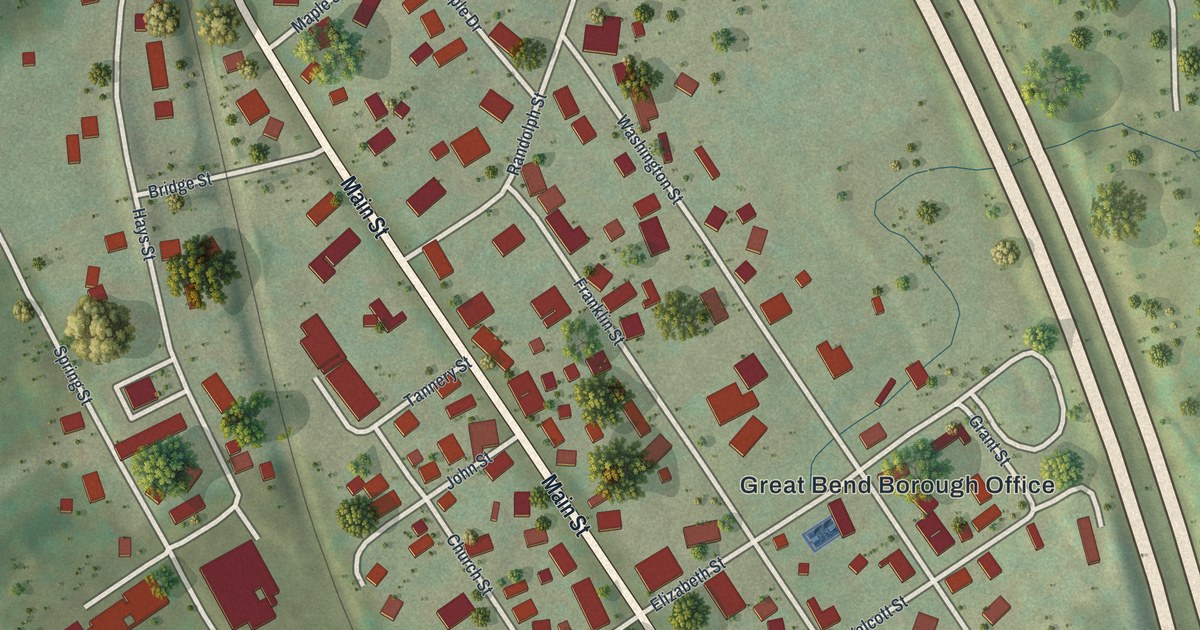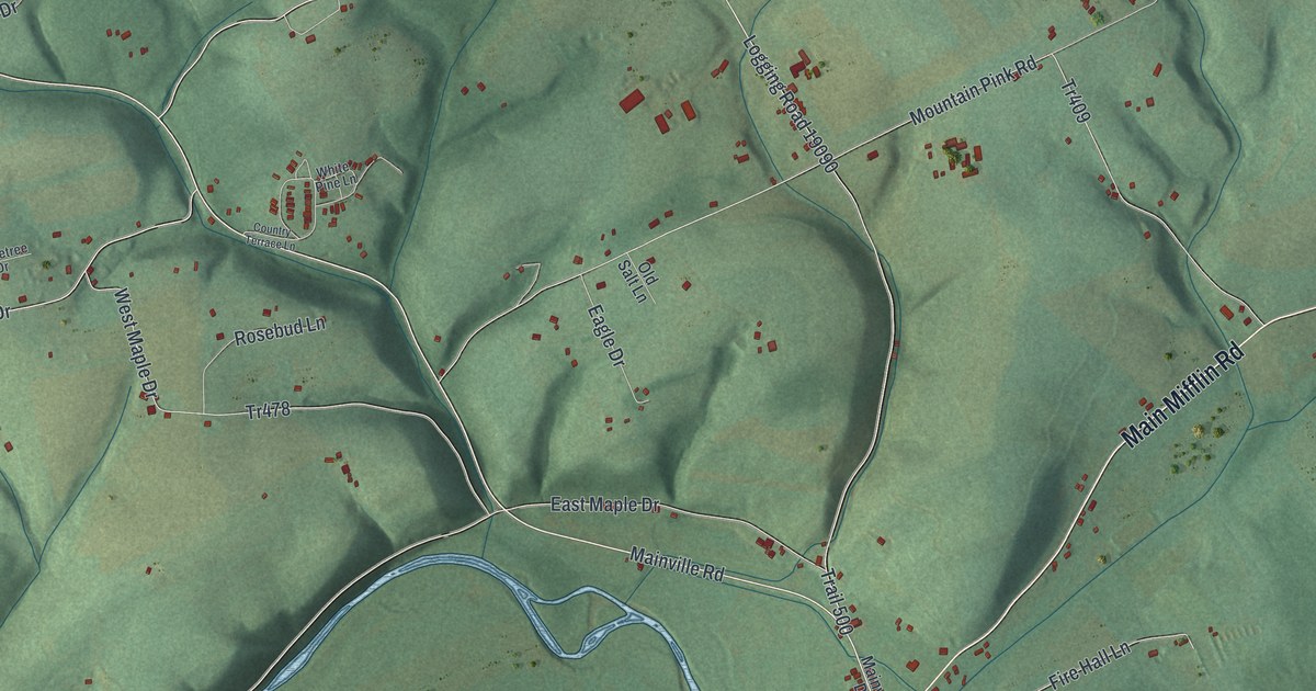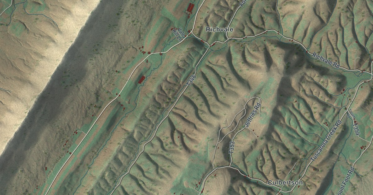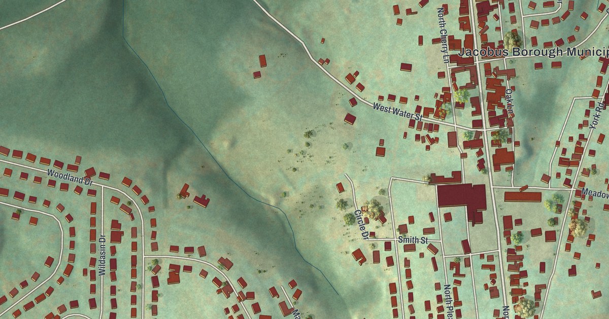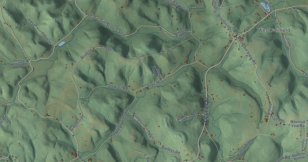
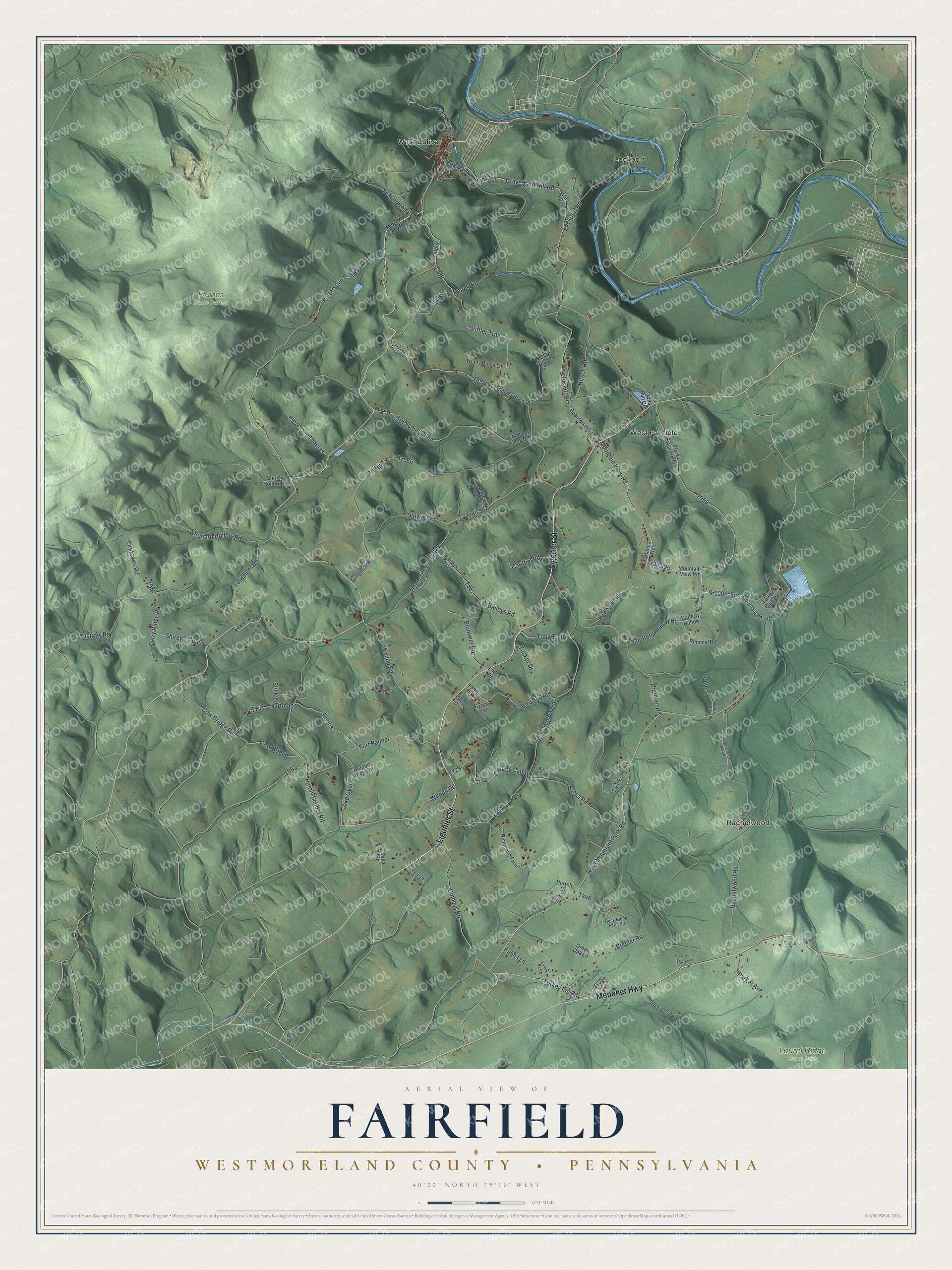
This beautifully detailed map of Fairfield, Westmoreland County, Pennsylvania was created in 2026 using aerial imagery combined with modern topographical, census, street and landmark data. It's a modern aerial view of Fairfield, Westmoreland County in Westmoreland County, Pennsylvania, that combines modern data with a vintage aesthetic. The roads feature printed names, and if you look closely you can find your exact house accurately shown in its correct location.
Explore an aerial view of Fairfield, Westmoreland County, Pennsylvania
On this map you'll find Forbes State Forest, Laurel Ridge State Park, Lockport, Rachelwood, West Bolivar, West Fairfield, Ligonier Street, Menoher Highway, Ross Mountain Park Road, Sr1002, Trail 995, Turkey Inn Road, and more. Each red shape is a building, so zoom in on the preview and look for yours.
Fairfield, Westmoreland County has a story worth telling. The Internet Archive puts it this way: "Of these Bolivar, on the
Pennsylvania Railroad, is the only incorporated bor-
ough, while the unincorporated villages are Lock-
port, on the Pennsylvania Railroad, West Fairfield
(or Fairfield), in the eastern portion of the township,
on the road from Ligonier to Johnstown through the
valley."
Fairfield, Westmoreland County is a place in Westmoreland County. The Census Bureau counted 2,046 people here in 2020.
Take a closer look at the Fairfield, Westmoreland County map
Names on this map
These names are printed on this map.
Places: Forbes State Forest, Laurel Ridge State Park, Lockport, Rachelwood, West Bolivar and West Fairfield.
Streets and roads: Ligonier Street, Menoher Highway, Ross Mountain Park Road, Sr1002, Trail 995, Turkey Inn Road, Mountain View Road, Hanna Trail, Austraw Road, Creek Road, Zufall Road, Toby Trail.
More street names, A to Z
Baileys Road, Baileys Trail, Beaufords, Beaufort Trail, Berkeys Road, Berry Patch Road, Bluegrass Drive, Bridges, Bridges Trail, Cauffiel Road, Church Camp, Clark Hollow Road, Coke Oven, Corvi Street, Cow Bridge, Cow Bridge Road, Derry Ridge Road, Essex Lane, Firetower Road, First Street, Fort Palmer, Girl Scout Camp, Girl Scout Camp Road, Grave Yard Hill, Grave Yard Hill Road, Green Oak Lane, Gross Road, Haleftery Hollow Road, Halferty Hollow, Halferty Hollow Road, Hall Drive, Hamill School Road, Hanna Trce, Hartman, Hill Drive, Hirsch Road, Horrell Drive, Hypocrite Creek Road, Keiper Road, Knupp Road, Kuhns Lane, Laughner Road, Little Drive, Little Pond Drive, Lockport Road, Love Hollow Road, Lower Club Road, Maple Street, McCoy Drive, Middlebranch Drive, Midget Camp Road, Mountain Veiw Road, Muir Road, Oakhill Drive, Orchard Hollow Road, Parker Avenue, Patterson, Plummer Road, Rabbit Ridge Drive, Rachelwood Road, Richmond Farm Lane, Robbs, Robert Drive, Rock Ridge Farm Road, Ross Mountain Parkrd, Ross Mount Park Road, Rudder Road, Rummel Road, Shadow Drive, Shirey, Shirley Hollow Road, Stanislaw Drive, Stewart Road, Stickie, Stiffler Trail, Tantilinger Hollow Road, Tantlinger Hollow, Thatcher Road, Thomas, Tr986, Trail 450, Trail 897, Trail 987, Trout Run Drive, Tucker Drive, Twin Echo Drive, Umheys Road, Upper Club Road, Wentling Lane, Wherry, Wherry Road, Wilpen Road, Windy Ridge Lane, Yeager Hollow.
Created by KNOWOL in 2026. The buildings are small red shapes, the roads carry their printed names, and shaded relief shows the shape of the land. The title panel reads "AERIAL VIEW OF FAIRFIELD WESTMORELAND COUNTY • PENNSYLVANIA" with 4, 0, °, 2, 0, ', , N, O, R, T, H, , 7, 9, °, 1, 0, ', , W, E, S, T.
It looks right in a kitchen, an office or a den, and it's a gift for anyone who grew up in Fairfield, Westmoreland County or moved away. Open the preview and find your street. See sizes and frames for the Fairfield, Westmoreland County map.