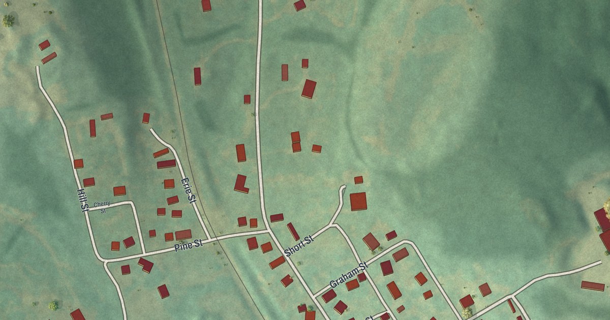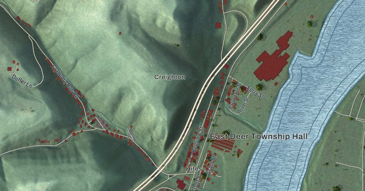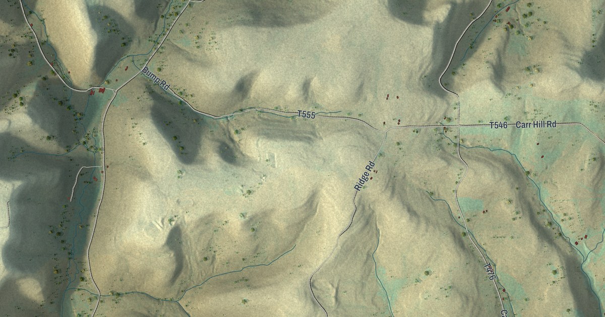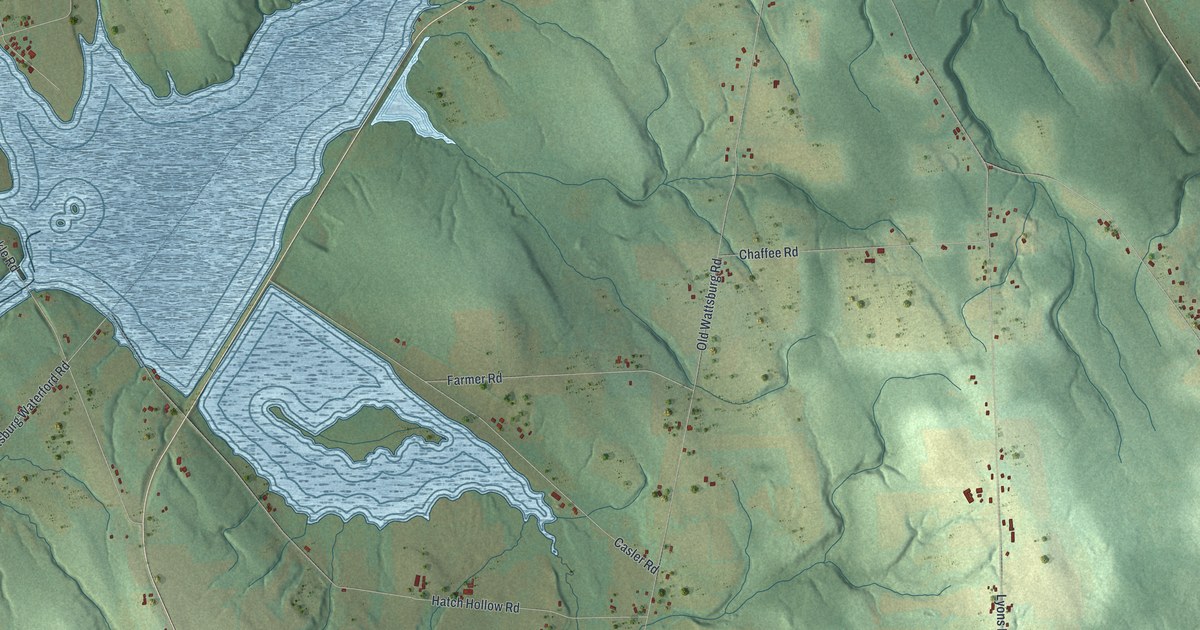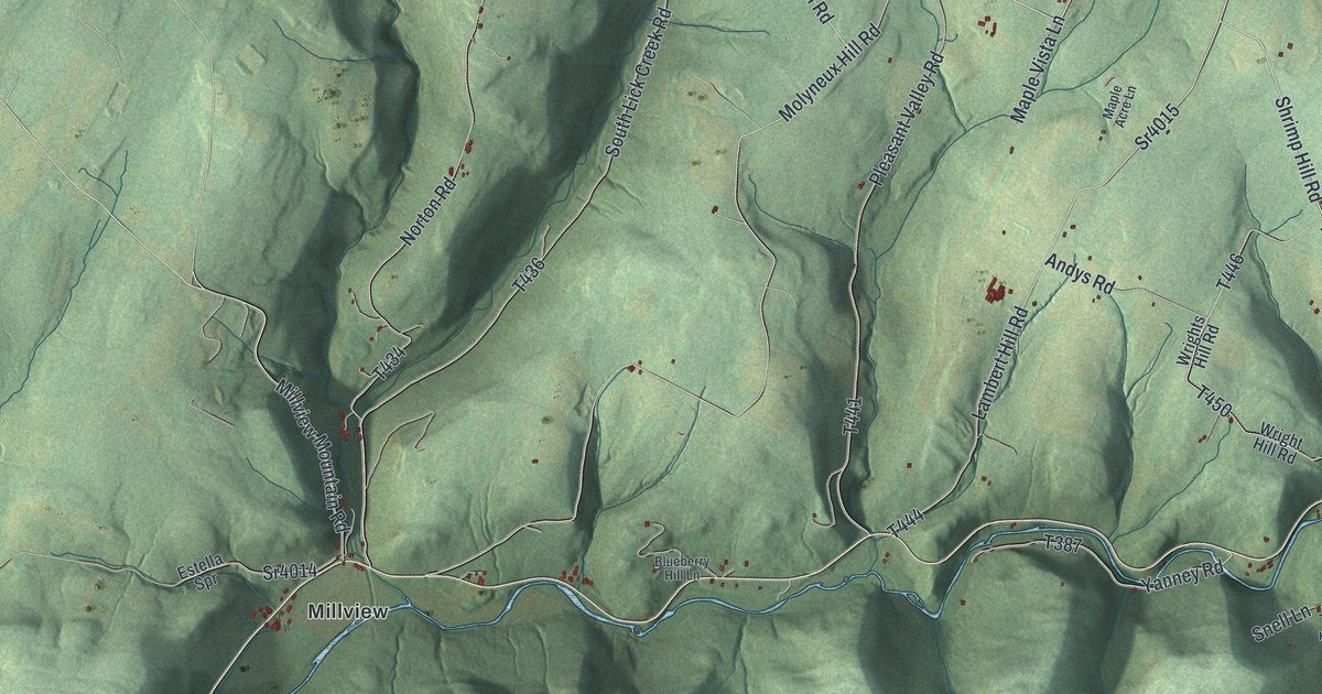
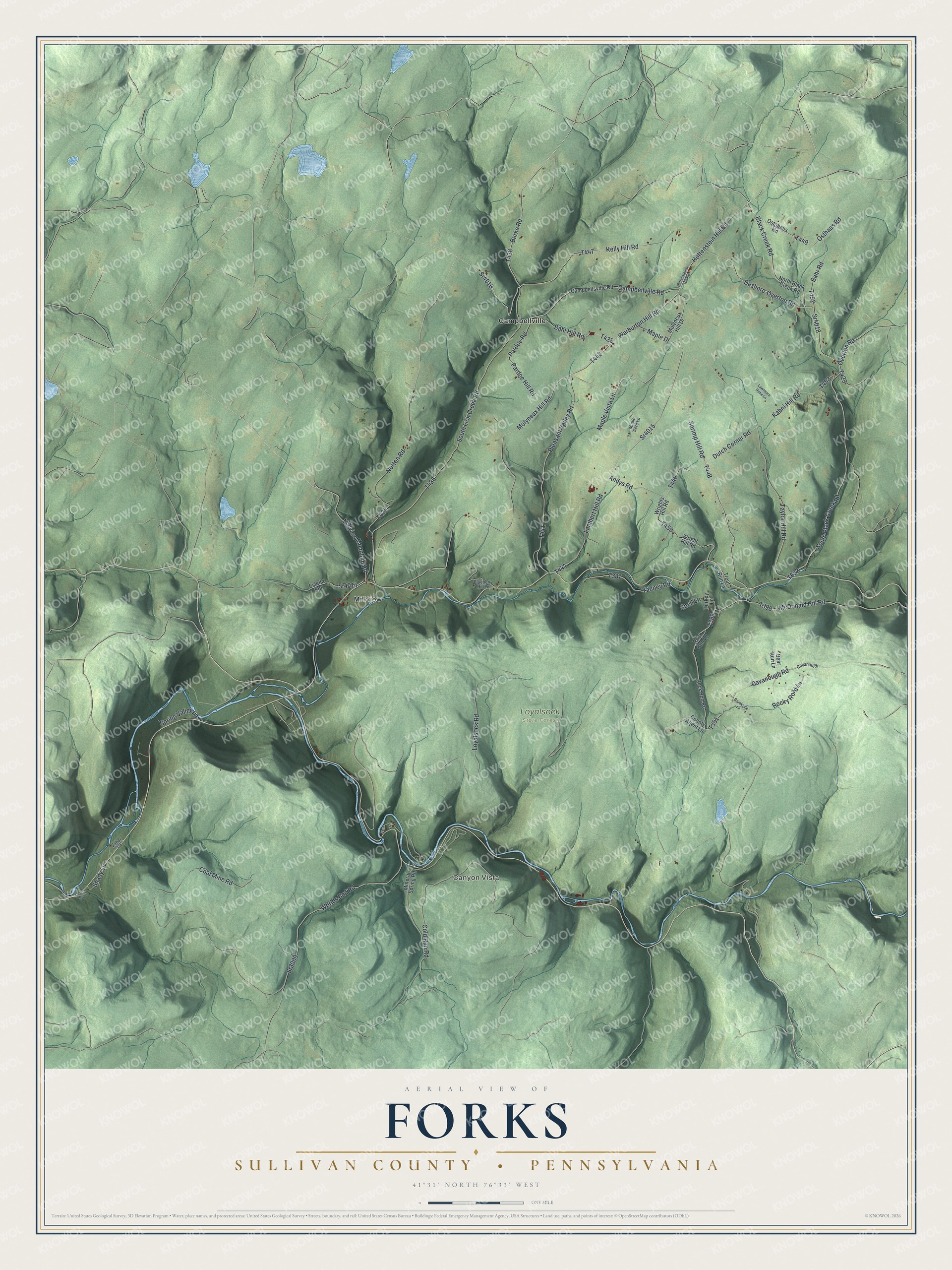
This beautifully detailed map of Forks, Sullivan County, Pennsylvania was created in 2026 using aerial imagery combined with modern topographical, census, street and landmark data. It's a modern aerial view of Forks, Sullivan County in Sullivan County, Pennsylvania, that combines modern data with a vintage aesthetic. The roads feature printed names, and if you look closely you can find your exact house accurately shown in its correct location.
Explore an aerial view of Forks, Sullivan County, Pennsylvania
On this map you'll find Canyon Vista, Loyalsock State Forest, Campbellville, Millview, Molyneux Hill Road, Sr4016, T442, Warburton Hill Road, Dushore-Overton Road, Sr4018, Black Creek Road, T447, and more. Each red shape is a building, so zoom in on the preview and look for yours.
Forks, Sullivan County is a place in Sullivan County. The Census Bureau counted 374 people here in 2020. The map prints the town name in its title panel, with the coordinates below it.
Take a closer look at the Forks, Sullivan County map
Names on this map
These names are printed on this map.
Places: Canyon Vista, Loyalsock State Forest, Campbellville and Millview.
Streets and roads: Molyneux Hill Road, Sr4016, Warburton Hill Road, Dushore-Overton Road, Sr4018, Black Creek Road, Burke Road, Shrimp Hill Road, Sr4015, Overton Road, Osthaus Road, Cavanough Road.
More street names, A to Z
Andys Road, Bahl Hill Road, Bahr Road, Bear Run Lane, Blueberry Hill Lane, Brookside Lane, Campbellsville Road, Campbellville Road, Cavanaugh, Coal Mine Road, Cold Run Road, County Agent Lane, Dutch Corner Road, Estella Spr, Hottenstein Hill Road, Hottensteins Hill Road, Kahni Hill Road, Kelly Hill Road, Lambert Hill Road, Lawrence Rohe Lane, Lewis Lane, Loyalsock Road, Maple Acre Lane, Maple Drive, Maple Vista Lane, McDonald Hill Road, Millview Mountain Road, Mineral Spring Road, Molyneux Hill Drive, North Black Creek Road, Norton Road, Ostahaus Road, Pardoe Hill Road, Pardoe Road, Pleasant Valley Road, Rock Run Lane, Rock Run Road, Rocky Road Lane, Shady Lane, Snell Lane, South Black Creek Road, South Lick Creek Road, Spring Valley Lane, Sr3009, Sr4014, Taylor Hill Road, Trout Run Lane, Turkey Lane, Worlds End Road, Wright Hill Road, Wrights Hill Road, Yanney Road, Zabor Lane.
Created by KNOWOL in 2026. The buildings are small red shapes, the roads carry their printed names, and shaded relief shows the shape of the land. The title panel reads "AERIAL VIEW OF FORKS SULLIVAN COUNTY • PENNSYLVANIA" with 4, 1, °, 3, 1, ', , N, O, R, T, H, , 7, 6, °, 3, 3, ', , W, E, S, T.
It suits a den, a classroom or a front hall, and it makes a gift for anyone with Forks, Sullivan County roots. Open the preview and find the block you know. See sizes and frames for the Forks, Sullivan County map.