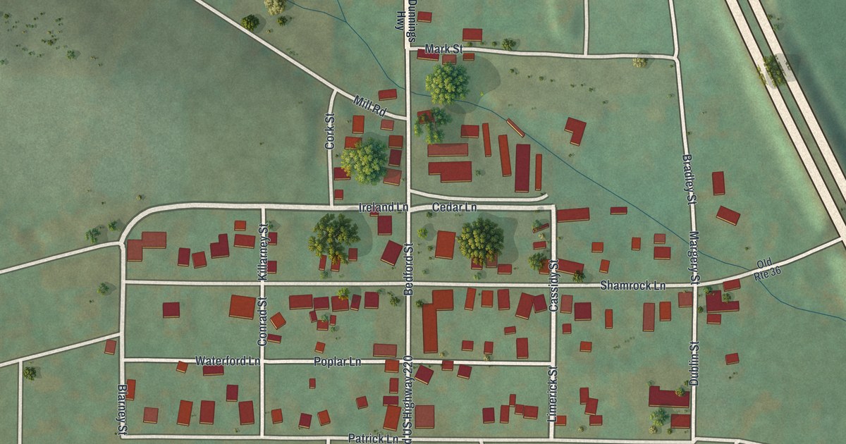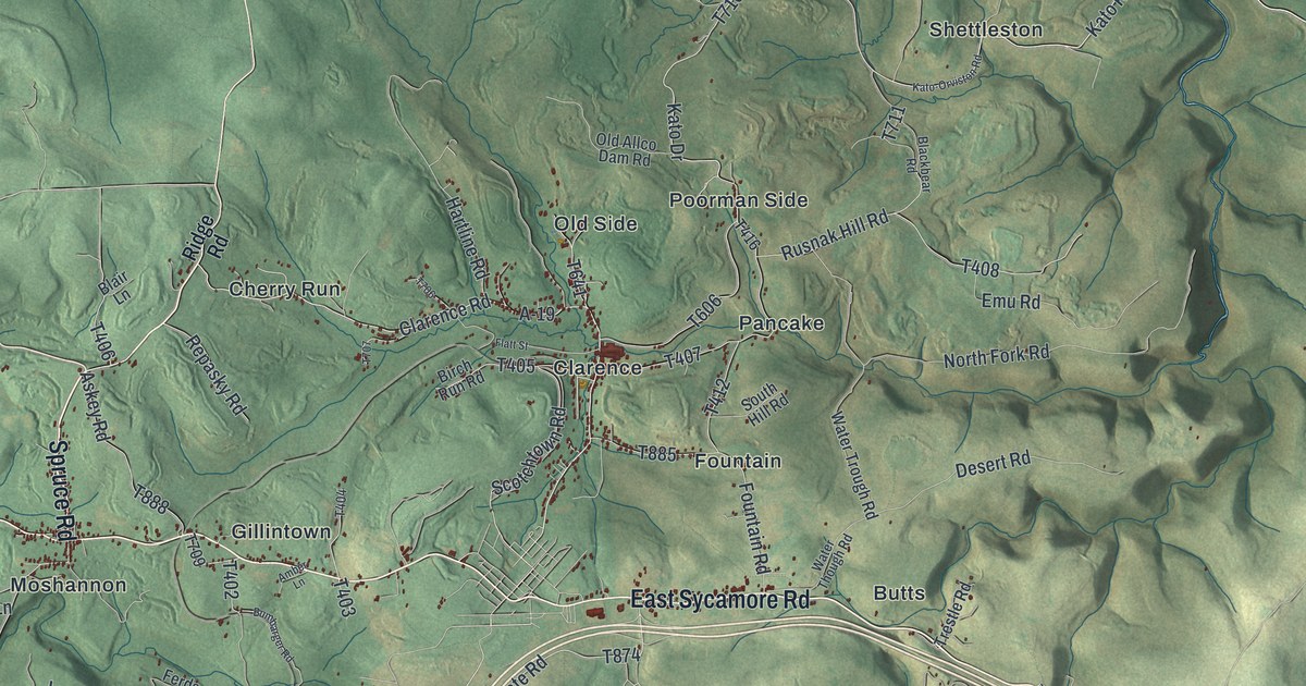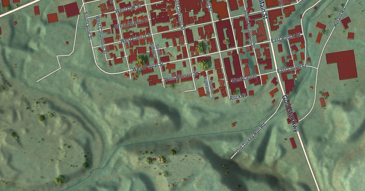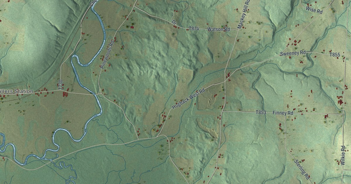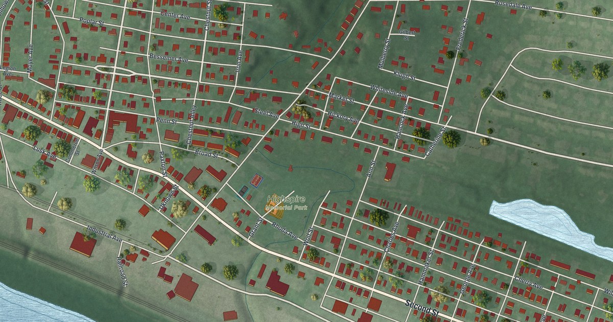
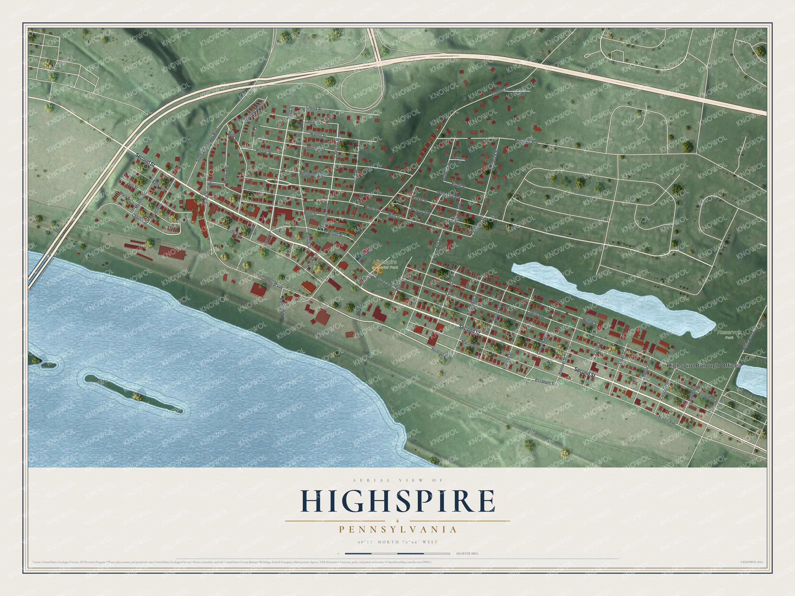
This beautifully detailed map of Highspire, Pennsylvania was created in 2026 using aerial imagery combined with modern topographical, census, street and landmark data. It's a modern aerial view of Highspire in Dauphin County, Pennsylvania, that combines modern data with a vintage aesthetic. The roads feature printed names, and if you look closely you can find your exact house accurately shown in its correct location.
Explore an aerial view of Highspire, Pennsylvania
On this map you'll find Highspire Borough Offices, Highspire Memorial Park, Reservoir Park, Second Street, Market Street, Roop Street, Elizabeth Street, Aviation Way, Chestnut Street, Rhoda Avenue, Cherry Avenue, Eshelman Street, and more. Each red shape is a building, so zoom in on the preview and look for yours.
Highspire is a borough in Dauphin County. The Census Bureau counted 2,741 people here in 2020. The map prints the town name in its title panel, with the coordinates below it.
Take a closer look at the Highspire map
Names on this map
These names are printed on this map.
Places: Highspire Borough Offices, Highspire Memorial Park and Reservoir Park.
Streets and roads: Second Street, Market Street, Roop Street, Elizabeth Street, Aviation Way, Chestnut Street, Rhoda Avenue, Cherry Avenue, Eshelman Street, Lumber Street, Martin Avenue, Race Street.
More street names, A to Z
Ann Street, Arch Street, Bank Avenue, Bessemer Avenue, Broad Street, Catherine Street, Cedar Avenue, Center Avenue, Charles Avenue, Charles Street, Cherry Street, Chestnut Alley, Commerce Street, Concord Avenue, Crescent Street, Franklin Street, Frederick Street, George Avenue, Gilbert Street, Grant Street, Hammaker Street, Hancock Avenue, Hanover Street, Hickory Avenue, High Street, Industrial Avenue, Iron Avenue, Jury Street, Klugh Street, Legion Avenue, Ligan Street, Logan Avenue, Lumber Street Extended, Lusk Avenue, Maple Avenue, Martin Alley, Mary Avenue, Moyer Avenue, Mulberry Street, Mumma Street, Oakland Manor, Paxton Street, Penn Street, Poplar Avenue, Poplar Street, Railroad Street, Rosedale Avenue, South Eisenhower Boulevard, Steel Avenue, Uknown Street, Vine Street, Walnut Street, Wetzel Avenue, Wetzel Street, White House Lane, Whiteside Avenue, Willow Street, Wilson Avenue, Wolf Street.
Created by KNOWOL in 2026. The buildings are small red shapes, the roads carry their printed names, and shaded relief shows the shape of the land. The title panel reads "AERIAL VIEW OF HIGHSPIRE PENNSYLVANIA" with 4, 0, °, 1, 2, ', , N, O, R, T, H, , 7, 6, °, 4, 6, ', , W, E, S, T.
Hang it in the hallway, the office or the cabin, or give it to someone who left Highspire and still calls it home. Open the preview and look for a street you know. See sizes and frames for the Highspire map.